Amankaragay Pine Forest: when to go, month by month
- January: off season
- February: off season
- March: off season
- April: possible
- May: good
- June: best time
- July: best time
- August: best time
- September: good
- October: possible
- November: off season
- December: off season
Warm, mild-night summers make June to August the best window, while highs stay below freezing from November to March.
Amankaragay Pine Forest: why go
Amankaragay's long pine belt
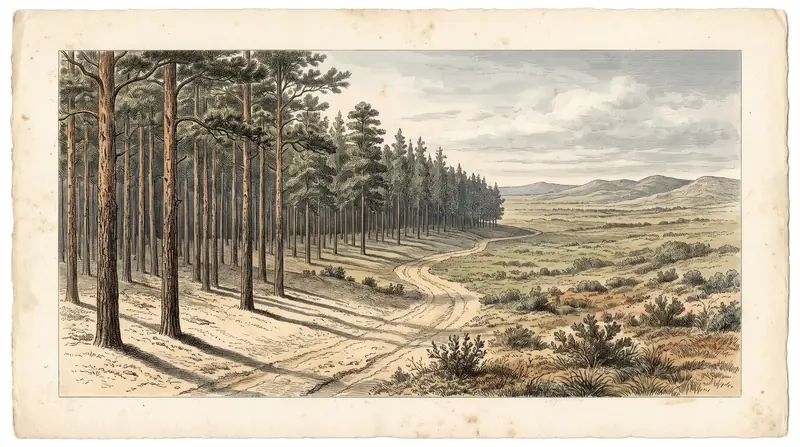
A strip of pine, birch and poplar about 45 km long and 15 km wide, standing out against the flat open steppe of Kostanay Region.
A forest planted by hand
Planting began in 1915 and peaked from the 1930s to the 1950s, including labour by Karlag prisoners, to stop sandstorms and desertification.
A day out from Kostanay
The forest lies about 88 km in a straight line from Kostanay. We could not confirm public transport, so plan on a car or a local driver.
Summer under the Amankaragay pines
June to August bring average highs of 25–27°C and mild nights of 14–16°C, the most comfortable stretch of a year with long, deep-frozen winters.
Lakes that shrink by August
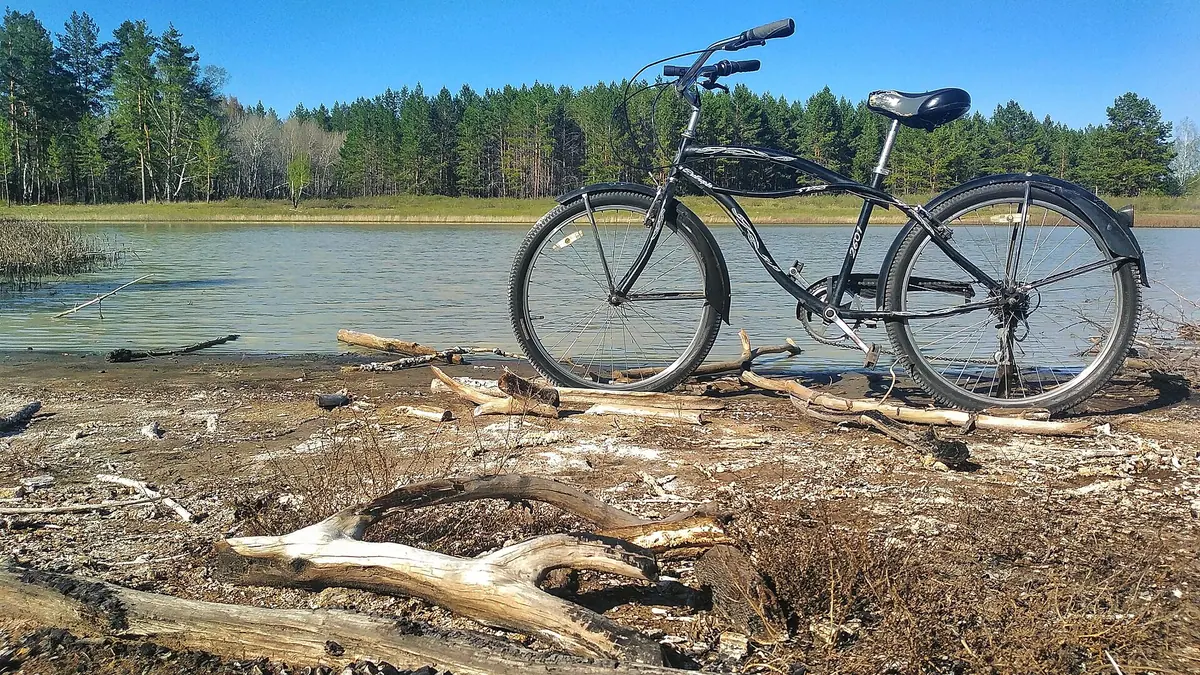
Many small lakes sit among the pines, but they partly dry out in summer, so the water you see in May may be much smaller late in the season.
Amankaragay Pine Forest in photos
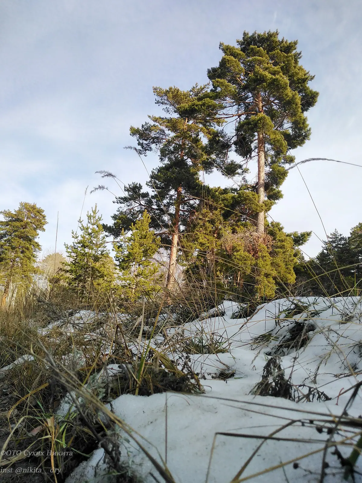
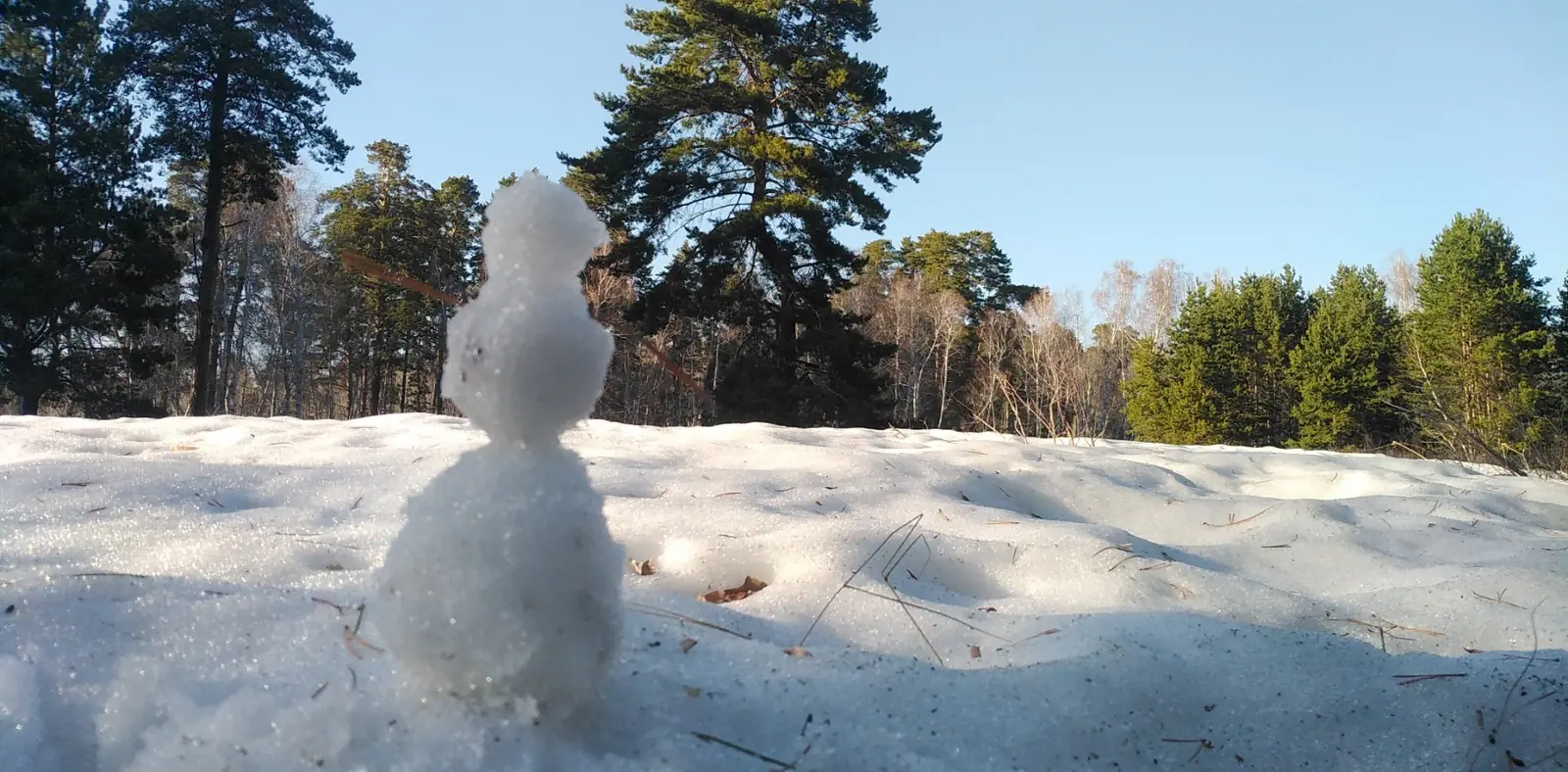
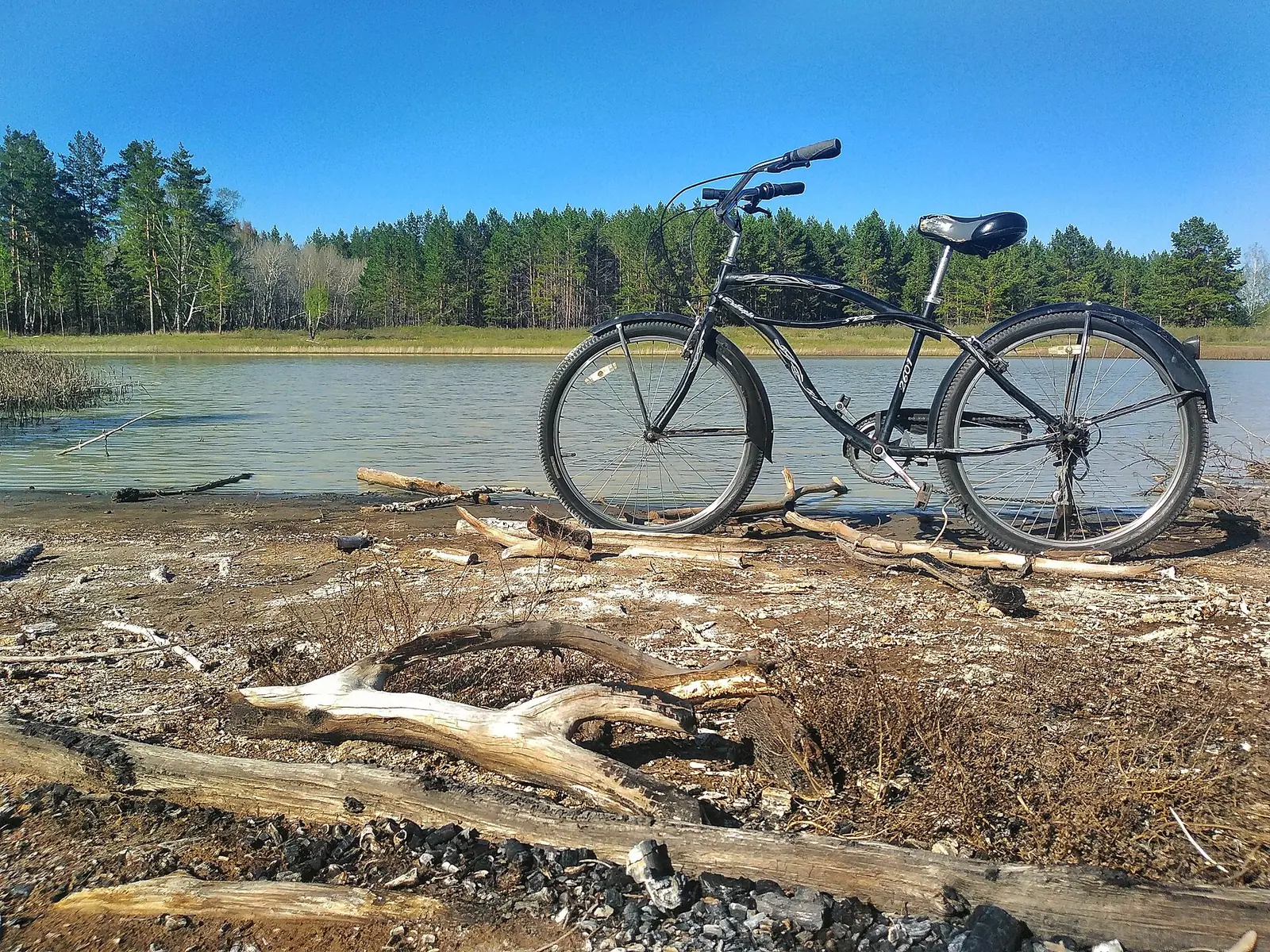
Real photos by travellers (Pexels, Unsplash, Wikimedia Commons); author and licence are given in each caption.
The Amankaragay Pine Forest is a planted pine forest in Auliekol District of Kostanay Region, in north-west Kazakhstan, about 88 km in a straight line from the city of Kostanay. It stretches roughly 45 km from west to east across open steppe and was created to fight sandstorms and desertification. For a foreign traveller it is a regional nature stop, not a headline destination, and it makes most sense combined with a visit to Kostanay.
Where Amankaragay is and what kind of trip it needs
Amankaragay sits in the far north-west of Kazakhstan, a long way from the country’s usual tourist routes. It is about 88 km in a straight line from Kostanay, 373 km from Kokshetau and 532 km from Astana; we could not confirm road distances.
The name also belongs to the village of Amankaragay, where the local forestry enterprise is based, so a search for the name returns both. We could not confirm any public transport, guided access or visitor facilities in the forest. Realistically this is a trip for someone already in Kostanay with a car or a local driver, and without Russian or Kazakh, arranging that will take effort.
| Key data | Figure |
|---|---|
| Region | Kostanay Region, Auliekol District |
| Area | about 320 km² |
| Length west to east | about 45 km |
| Width | about 15 km |
| Main trees | pine, birch, poplar or aspen |
| Planting began | 1915 |
The table shows a large but narrow forest: on a map it reads as a long green strip in the steppe rather than a compact park.
A forest planted by people, not by nature
Amankaragay is an artificial pine forest, which sets it apart from most natural areas in Kazakhstan. Planting started in 1915 under the forestry service of the old Turgay Region, and mass planting ran from the 1930s to the 1950s under Soviet forestry bodies. According to Russian Wikipedia, prisoners of Karlag, the Soviet labour camp system in Kazakhstan, were also used for the work in the 1930s.
The purpose was practical: to stop sand and dust storms and the spread of desert into the steppe. Figures on the planted area do not line up neatly. Russian Wikipedia gives 12,000 ha for the first plantings and 40,000 ha by 1960, yet the same article gives the current area as 320 km², which is 32,000 ha. We could not confirm why the figures differ.
The forest is still worked: the forestry enterprise in Amankaragay village cuts timber for local residents, so expect managed woodland rather than untouched wilderness.
What the landscape looks like
The forest grows on chalky ground with many small lakes. Kazakh Wikipedia describes a base of chalk and Neogene deposits, with stony dunes and sand hills in the south-western part. Pine, birch and aspen grow in the lower ground.
The lakes are small and partly dry out in summer, so a lake you see on a map in spring may be a shrinking pool by August. Their shores carry salt-tolerant plants alongside pine and steppe grasses such as fescue and feather grass. For a visitor the appeal is the contrast: dense pines and quiet water in country that is otherwise flat open steppe.
The September 2022 fire
In September 2022 a large fire burned several tens of thousands of hectares of forest in the area, by Russian Wikipedia. A district-level emergency was declared, nearby villages were evacuated and some houses burned before the fire was put out; new homes were later built for those affected.
The figure of tens of thousands of hectares is large against a forest of about 32,000 ha, though the source speaks of the district, not only this forest. We could not confirm how much of Amankaragay itself burned or what the forest looks like now. If you go to see pines, ask locally which parts are intact, and treat fire rules seriously: open fire in a dry pine forest is a real danger here.
When to go: climate at Amankaragay
Late spring to early autumn is the practical window; winters are long and severe. The figures below are computed normals for 2011–2020 from the ERA5 reanalysis at a grid point at 216 m, not from a weather station.
Day high, °C / Night low, °C · Rain/snow, mm
A computed reanalysis normal for these coordinates, not weather station records.
Monthly figures
| Month | Day high, °C | Night low, °C | Rain/snow, mm |
|---|---|---|---|
| Jan | -12.3 | -19.6 | 18.2 |
| Feb | -10.5 | -18.3 | 16.3 |
| Mar | -2.1 | -10.1 | 28.9 |
| Apr | 12.2 | 0.8 | 31.3 |
| May | 20.9 | 7.7 | 37.3 |
| Jun | 25 | 12.7 | 27.7 |
| Jul | 26.8 | 15.1 | 40.8 |
| Aug | 25.6 | 13.5 | 51.4 |
| Sep | 18.6 | 7.4 | 27.5 |
| Oct | 9.3 | 0.3 | 33.4 |
| Nov | -1.6 | -8.3 | 23.2 |
| Dec | -9.5 | -16.7 | 25.7 |
June to August are the warmest months, with average highs of about 25–27°C and nights of 13–15°C, which is comfortable for walking under the pines. July and August are also the wettest months, at roughly 41–51 mm each, so expect some summer showers. May and September are milder, with highs around 19–21°C but cool nights near 8–7°C.
From November to March highs stay below freezing, and January averages about −12°C by day and −20°C at night. Precipitation is modest all year, which matches the steppe setting.
| Period | Highs | Lows | What to expect |
|---|---|---|---|
| Dec–Feb | −11 to −9°C | −18 to −15°C | Hard frost, short days |
| Mar–Apr | −1 to 12°C | −9 to 1°C | Thaw |
| May–Jun | 20–25°C | 8–14°C | Green, mild |
| Jul–Aug | 25–27°C | 15–16°C | Warmest, some rain |
| Sep–Oct | 9–18°C | 1–9°C | Cooling, dry forest |
Is it worth the detour
Amankaragay is worth it mainly if you are already in Kostanay and want a day among pines and small lakes. It is not a reason in itself to fly to north-west Kazakhstan, and we could not confirm any trails, viewpoints or visitor infrastructure.
If pine forest around a lake is what you are after, Zerenda near Kokshetau is the closest comparable place on this site, about 347 km away in a straight line. For a steppe trip with a different landscape, Ulytau lies about 477 km away in a straight line in central Kazakhstan.
- Road route, road condition and travel time from Kostanay to the forest
- Any public transport or guided access to the forest
- How much of the forest burned in 2022 and which areas are intact now
- Current fire-season rules or entry restrictions
- Whether there are marked trails, camping or any visitor facilities
Amankaragay Pine Forest: tips before you go
- Plan from Kostanay: the forest is about 88 km away in a straight line and we found no confirmed public transport.
- Go in June to August for highs of 25–27°C; from November to March even daytime averages stay below freezing.
- Pack a rain layer for July and August, the wettest months at roughly 43–46 mm each.
- Do not light fires: a big fire burned tens of thousands of hectares in the area in 2022.
More to see nearby


Frequently asked questions
How far is Amankaragay from Kostanay?
What is the weather like in Amankaragay?
Is Amankaragay a natural forest?
Was Amankaragay damaged by fire?
Sources
Read also
 Almaty Zoo in Kazakhstan: opening hours and how to visit
 Ayusai Gorge, Almaty: visitor centre and waterfall trail
 Gorelnik Gorge above Medeu: waterfalls, trail and season
 Kamenskoe Plateau above Almaty: observatory and trails
 Pervomaiskie Ponds near Almaty: location, swimming, season
 Saty village: base for the Kolsai and Kaindy lakes