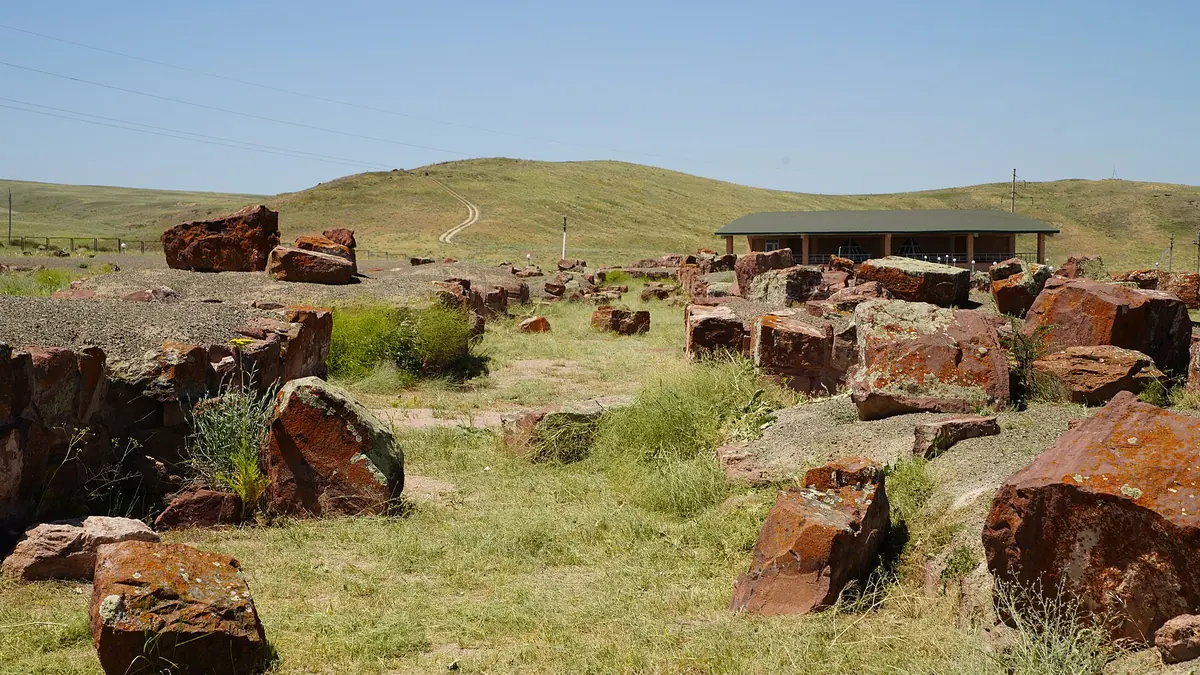
Akyrtas: when to go, month by month
- January: off season
- February: off season
- March: possible
- April: best time
- May: best time
- June: possible
- July: possible
- August: possible
- September: best time
- October: best time
- November: possible
- December: off season
April, May, September and October suit best; July averages 32.8 °C with little shade.
Akyrtas: why go
The correct Akyrtas map point
English Wikipedia's coordinates land about 12 km from Taraz. Navigate to 42.9535, 71.8028 from OpenStreetMap, which is 6 km south of Aksholak station.
What was Akyrtas?
A monastery, a Nestorian building, a caravanserai, Qutayba's residence or a Karluk palace. Digs in 1996–1998 found traces of a mihrab base.
Red sandstone blocks
Walls run 3.5–5 m thick, with blocks of about a tonne and some over 10 tonnes. The quarry on Mount Kyzyltas stretches 400 m and still holds worked stone.
Water piped from springs
Clay pipes carried water from springs in the Shoshkaly and Uzunbulak gorges, 2–4 km away. In 1938–1939 stone was carted off for railway building.
Akyrtas in photos
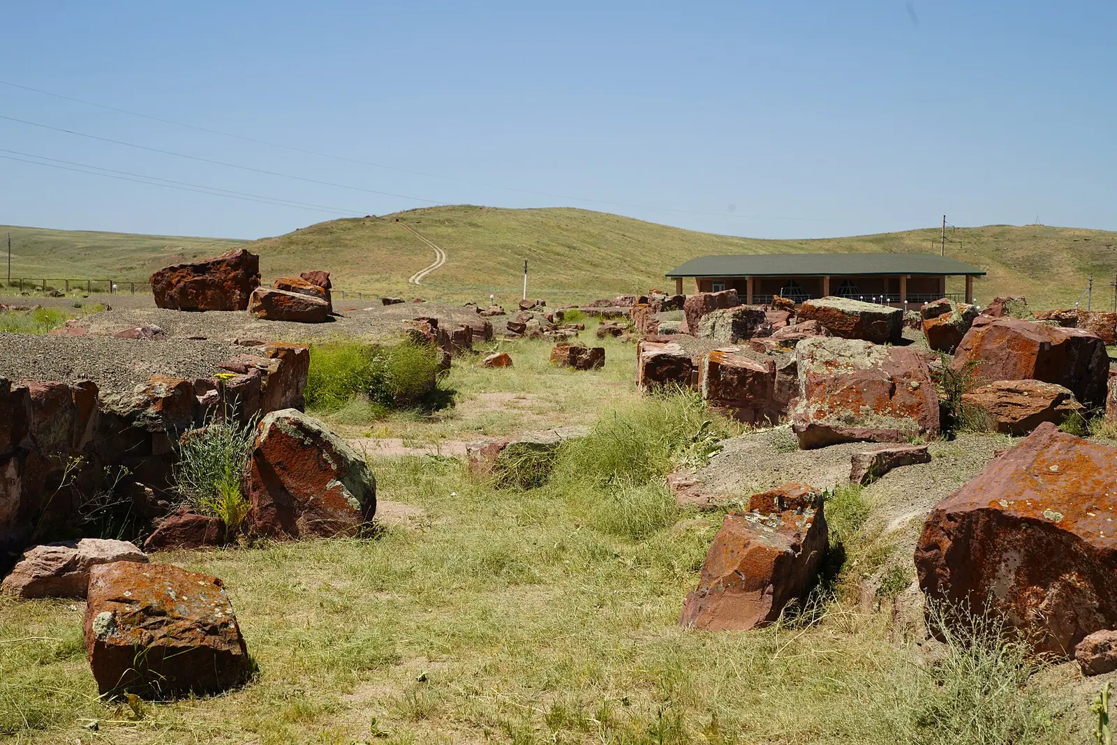
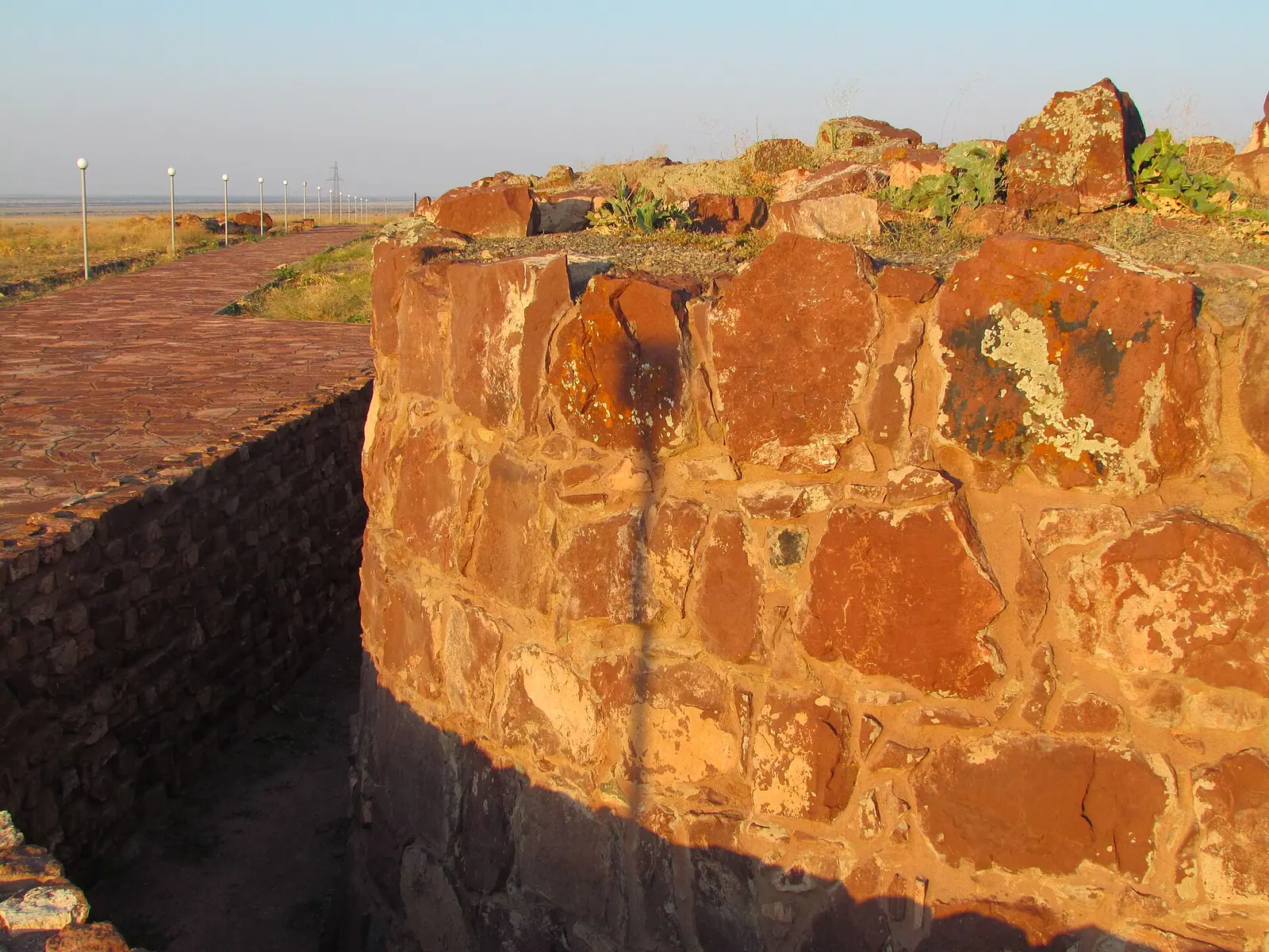
Real photos by travellers (Pexels, Unsplash, Wikimedia Commons); author and licence are given in each caption.
Akyrtas is the ruin of an unfinished monumental complex of the 8th–9th century, built from red sandstone blocks in Jambyl Region. It stands 6 km south of Aksholak station and about 36 km east of Taraz in a straight line. The walls survive only to 1–1.5 m, so this is a trip for people who enjoy archaeology and open steppe.
Use the right map point
Set your navigation to 42.9535, 71.8028, the point marked on OpenStreetMap. It matches every written description. English Wikipedia gives 42.9667, 71.25, which sits about 12 km from Taraz and contradicts the article’s own figure of 45 km.
Getting there from Taraz
- Follow the Almaty road east for about 35 km to Aksholak (also written Akchulak).
- Turn south for the last 6 km or so. We could not confirm the surface, so ask your driver about it.
- Without a car, Lonely Planet describes Merke-bound minibuses from Taraz bus station to Aksholak, then a taxi. That timetable is undated, so check locally.
Hiring a driver in Taraz for half a day is the simple choice.
What you will see
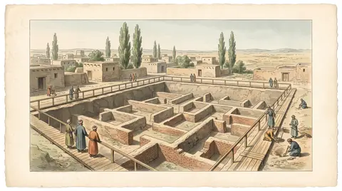
A vast rectangle of massive stone walls, column bases and traces of streets, left unfinished by its builders.
- Published plans vary: Archaeology.kz gives 180×205 m, Wikipedia 142×169 m and Lonely Planet about 180×150 m.
- Outer walls are 3.5–5 m thick, built of blocks of about a tonne, with some over 10 tonnes.
- The quarry runs for 400 m on the east side of Mount Kyzyltas, and worked blocks still lie there.
- Clay pipes brought water from springs in gorges 2–4 km away.
Stone was carted away for railway building in 1938–1939, which explains part of the damage. Excavations of 1996–1998 identified what was probably a mihrab base and column bases, the basis for reading the building as a palace with a mosque.
A puzzle that has lasted 150 years
| Theory | Proposed by | Basis |
|---|---|---|
| Buddhist monastery | P. I. Lerch, 1867 | First survey |
| Nestorian building | G. I. Patsevich, 1940s | Layout |
| Palace-fortress | T. K. Basenov, 1945 | Rejects religious readings |
| Caravanserai | L. Yu. Mankovskaya | Courtyards for different uses |
| Residence of Qutayba, 714–715 | V. Brentjes | Link to the Arab general |
| Palace of a Karluk ruler | Kazakh-French digs 1996–1998; Northedge, 2023 | Mihrab base; parallels in Samarra, Syria and Jordan |
The Taoist monk Chang Chun passed in the early 13th century and noted a “town of red stones”. Read this table before you go, because we could not confirm any information panels on site.
When to go
April, May, September and October are comfortable. These are computed normals for the site at 734 m.
Day high, °C / Night low, °C · Rain/snow, mm
A computed reanalysis normal for these coordinates, not weather station records.
Monthly figures
| Month | Day high, °C | Night low, °C | Rain/snow, mm |
|---|---|---|---|
| Jan | 2.6 | -6 | 38.2 |
| Feb | 3.7 | -5.6 | 39.7 |
| Mar | 12 | 1.2 | 68 |
| Apr | 18.8 | 7.3 | 83.3 |
| May | 24.9 | 12.1 | 50.7 |
| Jun | 30 | 16.5 | 32.4 |
| Jul | 32.8 | 18.8 | 11.6 |
| Aug | 31.1 | 17.1 | 12.2 |
| Sep | 25.4 | 11.3 | 13.2 |
| Oct | 17.3 | 4.8 | 42.7 |
| Nov | 7.4 | -2.4 | 51 |
| Dec | 2.9 | -6.1 | 37.1 |
July days average 32.8 °C with little shade. April is the wettest month, at 83.3 mm. Bring water, a hat and sturdy shoes, and do not count on finding services anywhere near the site, since none of our sources mentions a shop or cafe.
Nearby
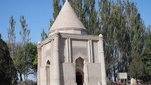
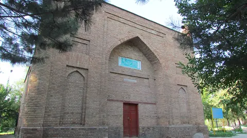
Pair it with Kostobe, about 23 km away in a straight line, as well as Ancient Taraz and Aisha Bibi. Our UNESCO access research covers the other Silk Roads sites.
Which sites are on the UNESCO list and which are not yet is explained in the Silk Road in Kazakhstan.
- Any fee, caretaker, fencing or signs on site
- The condition of the track from Aksholak
- Rules on visiting and photography, including drones
- Current minibus times between Taraz and Merke
Akyrtas: tips before you go
- Bring water, a hat and sturdy shoes, and do not count on services nearby.
- Without a car: a Merke minibus from Taraz to Aksholak, then a taxi. Timetable is undated, so check.
- We could not confirm information panels on site, so read about the theories first.
More to see nearby


Frequently asked questions
How do I get to Akyrtas from Taraz?
Is Akyrtas a UNESCO site?
What was Akyrtas built for?
Sources
Read also
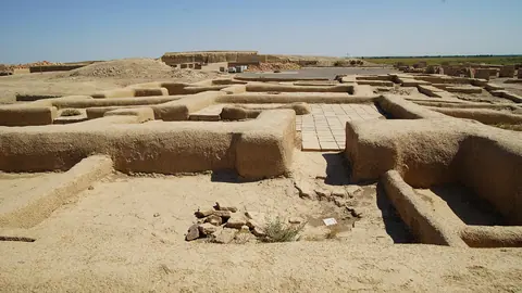 Otrar, the Silk Road city in southern Kazakhstan that fell to Genghis Khan
 Tamgaly (Tanbaly) petroglyphs
- Tamgaly petroglyphs and the other rock art sites of Kazakhstan
 UNESCO heritage in Kazakhstan: seven sites
 Tamgaly Tas petroglyphs: a Buddhist open-air temple on the Ili River
 Eshkiolmes Petroglyphs: over 4,000 rock carvings on a Zhetysu ridge