The Caspian Sea at Aktau: when to go, month by month
- January: off season
- February: off season
- March: off season
- April: possible
- May: possible
- June: good
- July: best time
- August: best time
- September: good
- October: possible
- November: off season
- December: off season
Sea water reaches about 18 °C only from late May to late August or mid-September, while winter highs stay near 4 °C.
The Caspian Sea at Aktau: why go
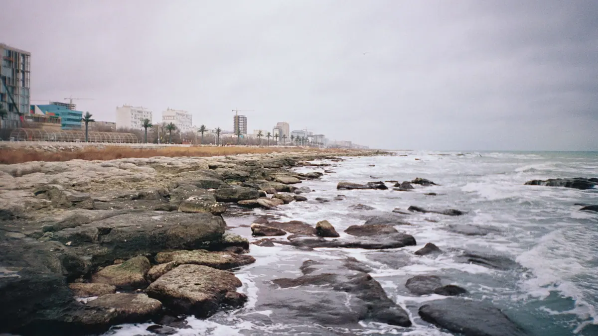
Aktau's Caspian seafront
Embankments and beaches line the city edge, with a pedestrian shoreline of about 5 km, described as the longest in Kazakhstan.
A city built in the desert
Aktau was founded in 1958 by uranium prospectors, named Shevchenko from 1964 to 1991, and still drinks desalinated seawater.
Getting to Aktau
Most visitors fly in; the train from Almaty takes about three days and arrives at Mangystau station, 15–20 km from the city.
Aktau's short summer swim season
Swimming runs late May to late August or mid-September, with sea water near 18 °C and almost no summer rain.
Aktau's lit cliff boardwalk
Open since 2018, a wooden path of several kilometres runs along the sea cliffs with railings, benches and coloured LED lights.
The Caspian Sea at Aktau in photos
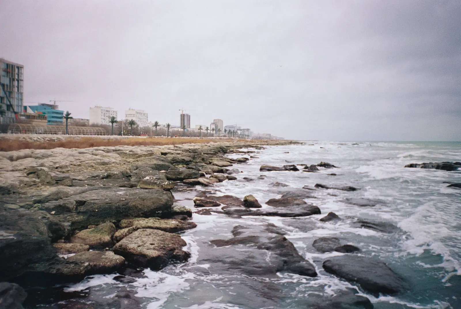
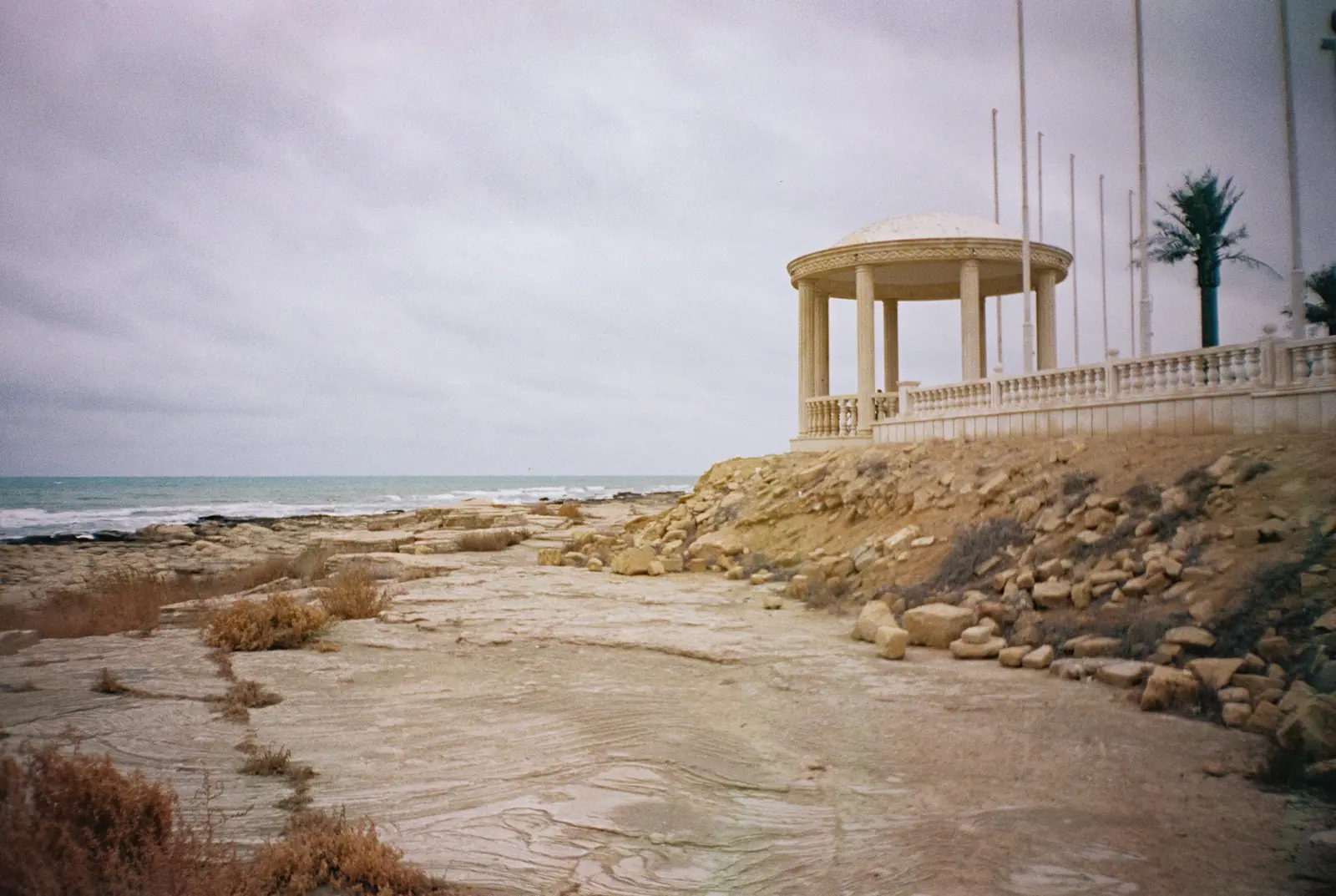
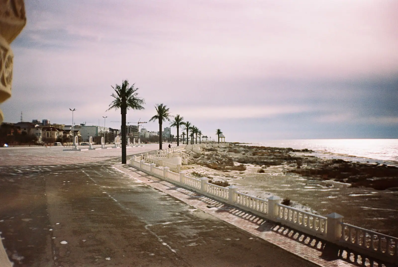
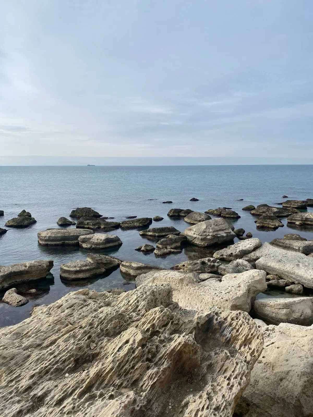
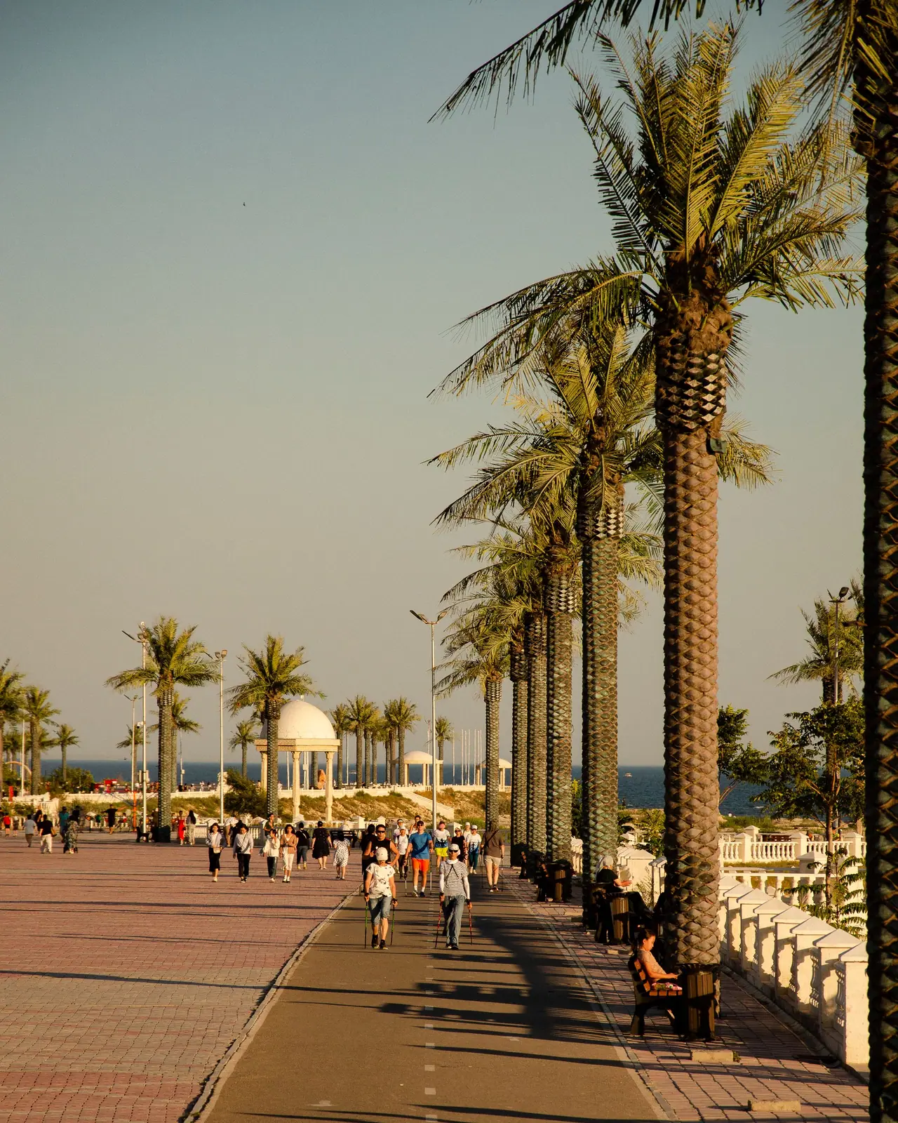
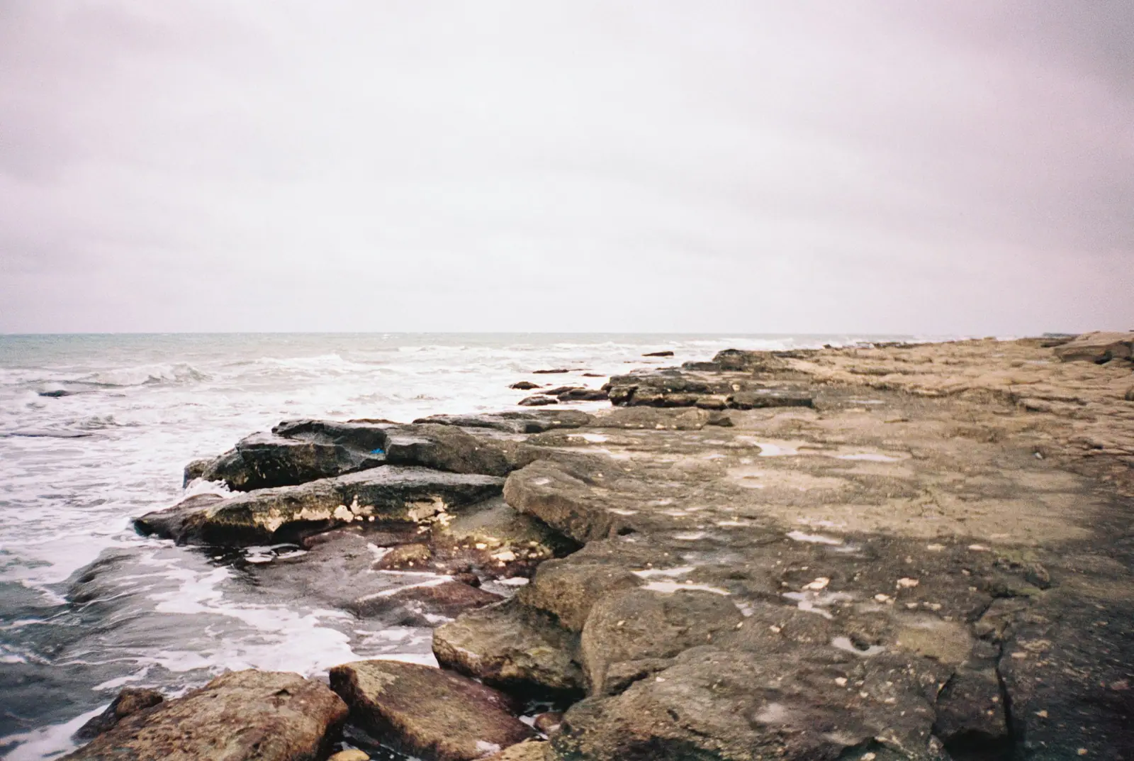
Real photos by travellers (Pexels, Unsplash, Wikimedia Commons); author and licence are given in each caption.
The Caspian Sea at Aktau is Kazakhstan’s main seaside, a desert city on the eastern shore where beaches are used from late May into late summer. Expect sea water of about 18 °C in season, a long seafront walk and a dry, hot climate. For a foreign traveller it works as a beach stop combined with the desert sights of the Mangystau region, not as a resort destination in its own right.
Where Aktau is and what kind of seaside to expect
Aktau sits on the Mangyshlak Peninsula in the Mangystau Region, on the eastern shore of the Caspian Sea, at the opposite end of the country from Almaty. It is Kazakhstan’s only seaport and the regional capital, with a population of about 183,000 in 2020 by Wikipedia. The city was built from scratch in the desert in the late 1950s and 1960s for uranium mining, and today its economy runs on oil and gas.
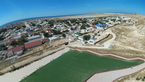
The coastline has both rocky hills and sandy beaches. Embankments and beaches run along the edge of the city, and Russian Wikipedia describes the seafront as the longest pedestrian shoreline in Kazakhstan, about 5 km. Since 2018 a cliff-side boardwalk of several kilometres has been open, with wooden railings, benches and coloured LED lighting, which makes evening walks along the sea the main free activity.
Most visitors are from other parts of Kazakhstan. That matters for you: signage, taxis and service are geared to Russian and Kazakh speakers.
The beach season is short and the water stays cool
Swimming is realistic from late May to late August, possibly into mid-September. The sources differ slightly on the end of the season, but agree on the water temperature.
| Point | Russian Wikipedia | English Wikipedia |
|---|---|---|
| Beach season | late May to mid-September | late May to late August |
| Typical sea temperature in season | about 18 °C | about 18 °C |
| Sea outside the season | cold most of the year | not stated |
| July mean air temperature | +26.4 °C | +25.55 °C |
For the reader this means the sea is refreshing rather than warm even in July. If you are used to the Gulf, the Indian Ocean or the Mediterranean in summer, 18 °C will feel cold for long swims. Plan a beach trip for June to August, and treat September as a gamble on the water.
When to go: hot, dry summers and cold winters
Aktau has a cold desert climate, and summer is both the swimming season and the hottest stretch of the year.
Day high, °C / Night low, °C · Rain/snow, mm
A computed reanalysis normal for these coordinates, not weather station records.
Monthly figures
| Month | Day high, °C | Night low, °C | Rain/snow, mm |
|---|---|---|---|
| Jan | 3 | -2.6 | 14.8 |
| Feb | 4 | -3.1 | 9.2 |
| Mar | 10.2 | 2.4 | 20.5 |
| Apr | 16.9 | 8 | 18 |
| May | 25.3 | 15.9 | 15.4 |
| Jun | 30.8 | 20.8 | 8.5 |
| Jul | 33.3 | 23.4 | 8.9 |
| Aug | 32.2 | 21.9 | 5.3 |
| Sep | 26.1 | 15.8 | 8.6 |
| Oct | 17.8 | 8.6 | 9 |
| Nov | 9 | 2 | 15.5 |
| Dec | 4.1 | -1.3 | 16.1 |
These figures are computed normals for 2011–2020 from the ERA5 reanalysis at a grid point at 17 m elevation near the city, not a weather station. Daytime highs average about 31–33 °C from June to August, with nights still above 20 °C. Russian Wikipedia reports summer peaks of up to +44 °C, well above these averages. Rain is almost absent in summer, under 10 mm a month, and the annual total is about 140 mm.
May and September are the comfortable months for walking the seafront and day trips into the desert, with highs around 24–25 °C. From November to February daytime highs stay near 4–9 °C and nights drop below freezing, so the beaches are of no use then.
Getting to Aktau without a car
Most foreign visitors will fly. Aktau has an international airport north of the city, with domestic flights to Almaty, Astana and Atyrau; Wikivoyage lists international routes that have included Baku, Tbilisi, Kutaisi, Istanbul and Moscow, and warns that routes change often.
| Way in | What the sources say | Catch |
|---|---|---|
| Air | Airport 24–25 km north of the city | Bus number differs by source: No. 11 (Russian Wikipedia) or No. 6 (Wikivoyage); taxis and ride-hailing are easier |
| Train | Mangystau station, 15–20 km from the city | Astana takes about 2 days, Almaty about 3 days; bus No. 105 and taxis link to town |
| Ferry from Azerbaijan | Runs Alat to Kuryk | Both ports lie far outside Baku and Aktau |
The train is only for travellers who want the overland experience. Atyrau, the next large city, is about 388 km away in a straight line. Wikivoyage notes that the last airport bus runs around 21:00 and one traveller waited half an hour with no bus, so do not rely on it for a flight.
Finding your way: a city without street addresses
Aktau is divided into numbered microdistricts instead of named streets. An address like 14-42-30 means district 14, building 42, flat 30, and building numbers are not sequential. Wikivoyage advises saying “micro-raion” and the district number in Russian to a driver, and notes that taxi drivers rarely speak English.
For a visitor without Russian, the practical fix is to save your destination as a pin on a map app on your phone and show it. The seafront itself is easy: it runs along the coast, and Wikivoyage lists the coastal road as one of the city’s three main north-south roads.
What else is on the seafront and in town
A short list of things to see sits close to the coast and centre:
- A lighthouse on the roof of a residential block in the 4th microdistrict.
- The World War II memorial with an eternal flame under white arches shaped like a yurt, and a MiG aircraft on a pedestal nearby.
- The Mangystau regional history museum, which displays the text of a 1967 time capsule that went missing before its 2017 opening.
- The Mangyshlak Experimental Botanical Garden, which since 2021 has been growing frost-resistant palms as an experiment.
The city’s drinking water comes from desalinated Caspian seawater blended with artesian water, and the former BN-350 reactor (1973–1999) was the world’s first nuclear desalination plant. English Wikipedia and Wikivoyage both mention frequent power cuts and water shortages, so do not be surprised by an outage.
Combining the beach with Mangystau’s desert
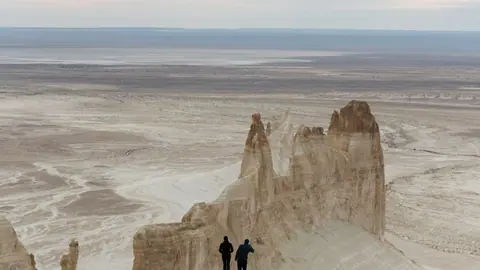
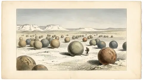
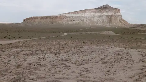
The strongest reason to come this far west is to pair the sea with the landscapes inland. The Mangystau nature area, as mapped on our page, lies about 72 km from Aktau in a straight line, the stone spheres of Torysh about 86 km, and Sherkala about 96 km. Up the coast, Fort-Shevchenko lies about 119 km away in a straight line.
The region also holds Sufi pilgrimage sites such as Beket-Ata and Shakpak-Ata, underground mosques carved into limestone; visitors should treat them as active places of worship. We could not confirm road conditions or public transport to any of these sites, so plan on a hired driver or an organised day trip arranged locally.
Further south along the coast, in Karakiya District, lies Kenderli, where a resort zone has been under construction for years.
- Which beaches are free and which are paid or private zones, and their current access rules
- Whether lifeguards, showers or changing facilities operate at the public beaches
- Current bus route number and schedule between the airport and the city
- Road conditions and transport to Mangystau desert sites from Aktau
- Current ferry schedule between Alat and Kuryk
The Caspian Sea at Aktau: tips before you go
- Save your hotel as a map pin: Aktau uses microdistrict numbers like 14-42-30 instead of street names, and drivers rarely speak English.
- Use a taxi or ride-hailing for flights; Wikivoyage lists the last airport bus around 21:00 and reports long waits.
- Carry water and shade in July: average highs are near 32 °C on the coast and peaks of +44 °C are recorded.
- Expect cool water even in midsummer: about 18 °C, so short swims are the norm rather than long ones.
More to see nearby


Frequently asked questions
How warm is the sea in Aktau?
When is the beach season in Aktau?
Are Aktau beaches sandy or rocky?
How hot does Aktau get in summer?
How far is the airport from the Aktau seafront?
Sources
Read also
 Almaty Zoo in Kazakhstan: opening hours and how to visit
 Ayusai Gorge, Almaty: visitor centre and waterfall trail
 Gorelnik Gorge above Medeu: waterfalls, trail and season
 Kamenskoe Plateau above Almaty: observatory and trails
 Pervomaiskie Ponds near Almaty: location, swimming, season
 Saty village: base for the Kolsai and Kaindy lakes