Verified: 2026-10
Bozzhyra and the wild landscapes of Mangystau: why go
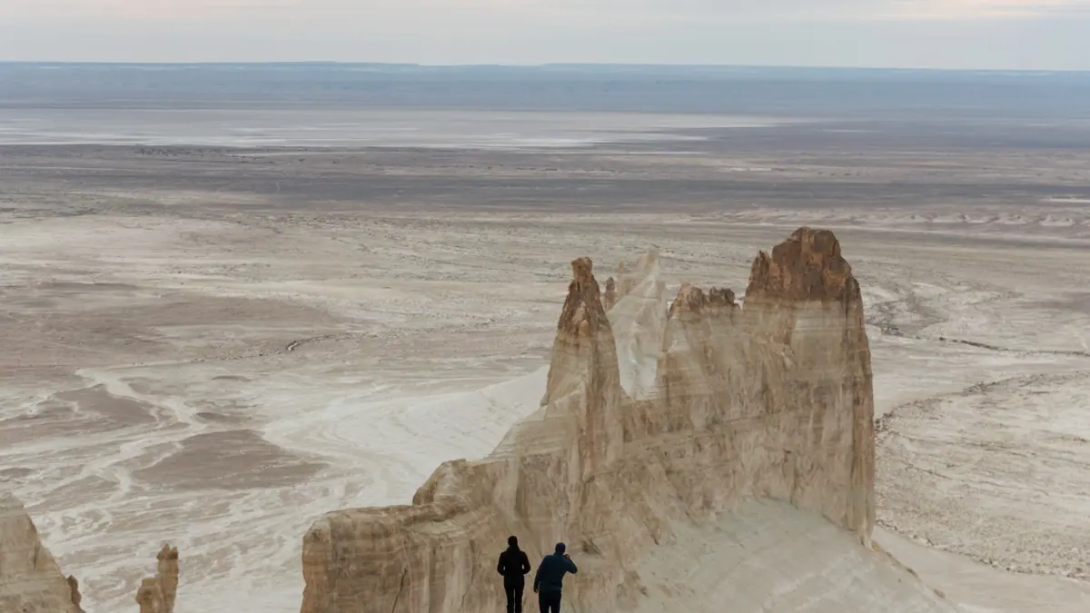
Bozzhyra's white “fangs”
Two chalk pinnacles about 200 m high rise in a 17 by 11 km valley on the Ustyurt escarpment; the highest point is 287 m above sea level.
Ustyurt chinks: −52 to +340 m
In the Ustyurt reserve the cliff reaches +340 m near Kugusem well, while Kendirli sor lies at −52 m. Entry is by a paid pass arranged in advance.
The stone balls of Torysh
Concretions from 10–15 cm to 4 m across formed on the floor of the ancient Tethys Ocean 40–60 million years ago.
The Tuzbair salt-flat mirror
A 15 by 4 km salt flat below chalk cliffs up to 60 m high turns into a mirror of water several kilometres long after rain.
Sherkala, the lion mountain
A 332 m solitary mountain 18 km from Shetpe that looks like a yurt from one side and a resting lion from another. Locals advise against climbing it.
Karagiye depression: −132 m
The floor of the depression lies 132 m below sea level; it stretches 85 km by up to 25 km and sits about 50 km from Aktau.
Bozzhyra and the wild landscapes of Mangystau in photos
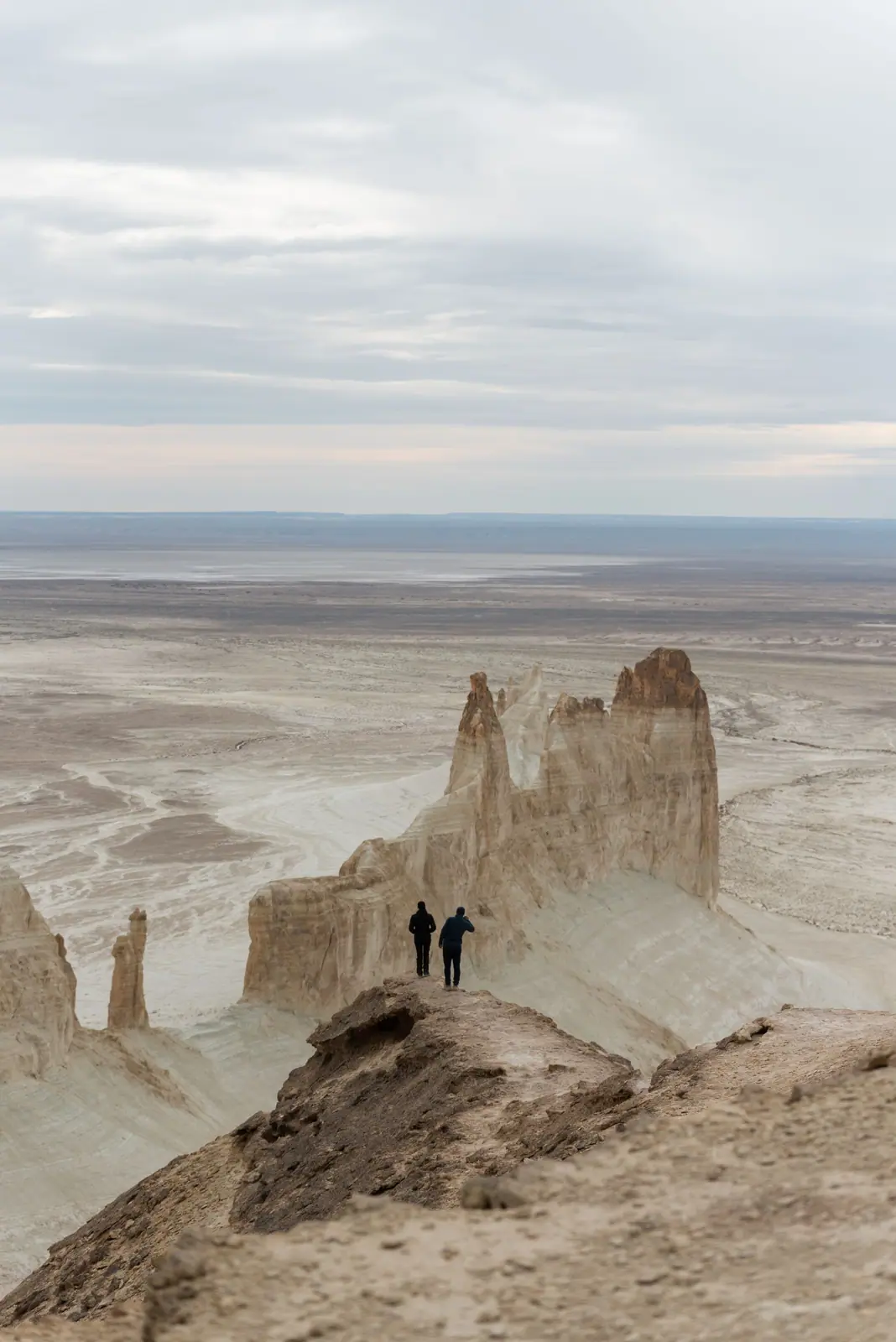
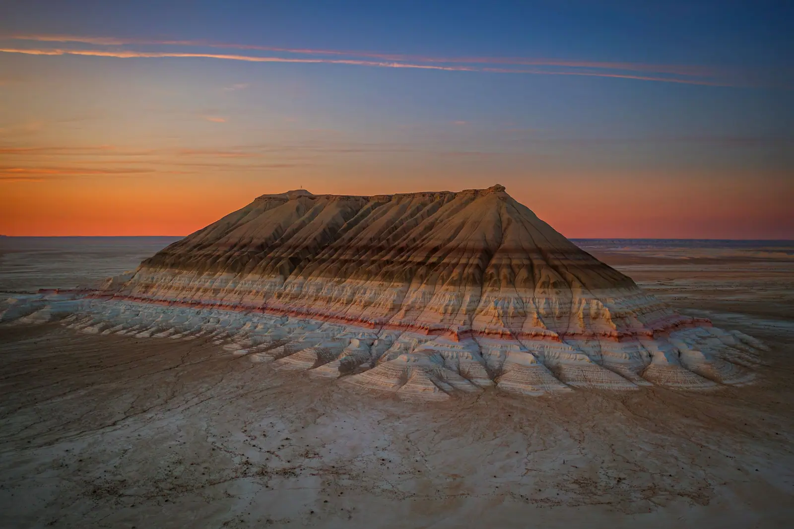
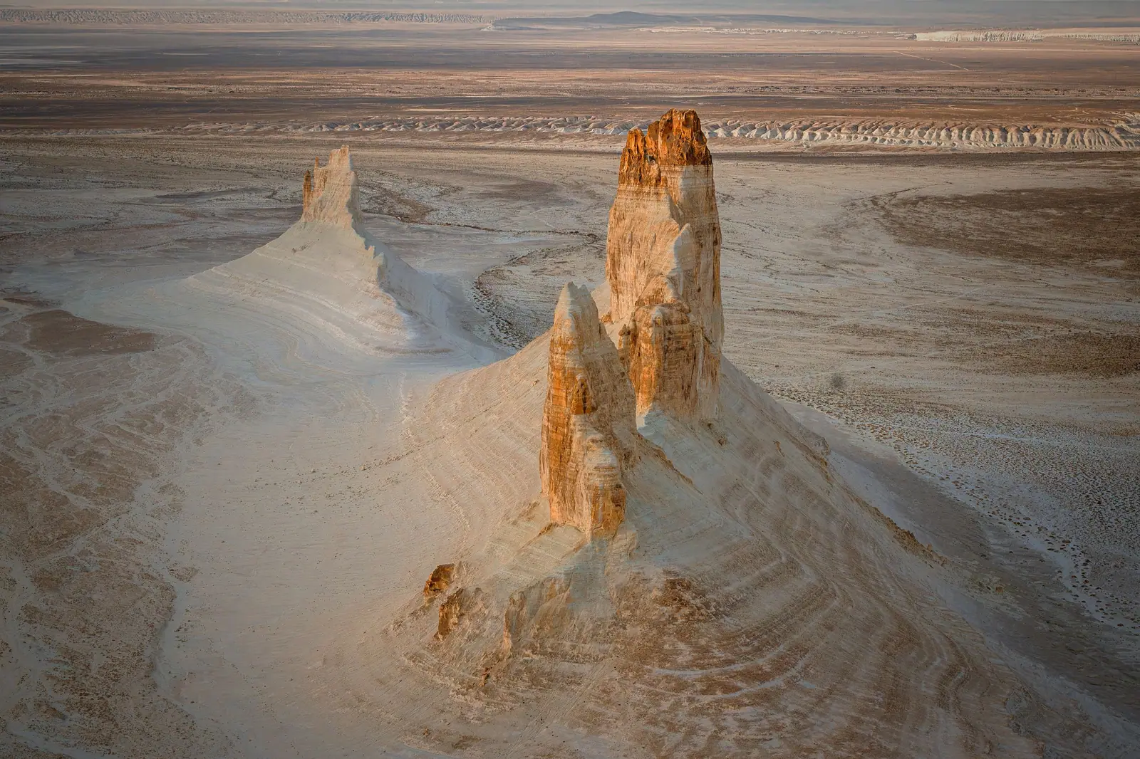
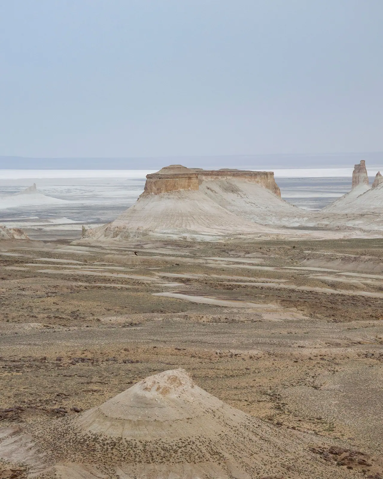
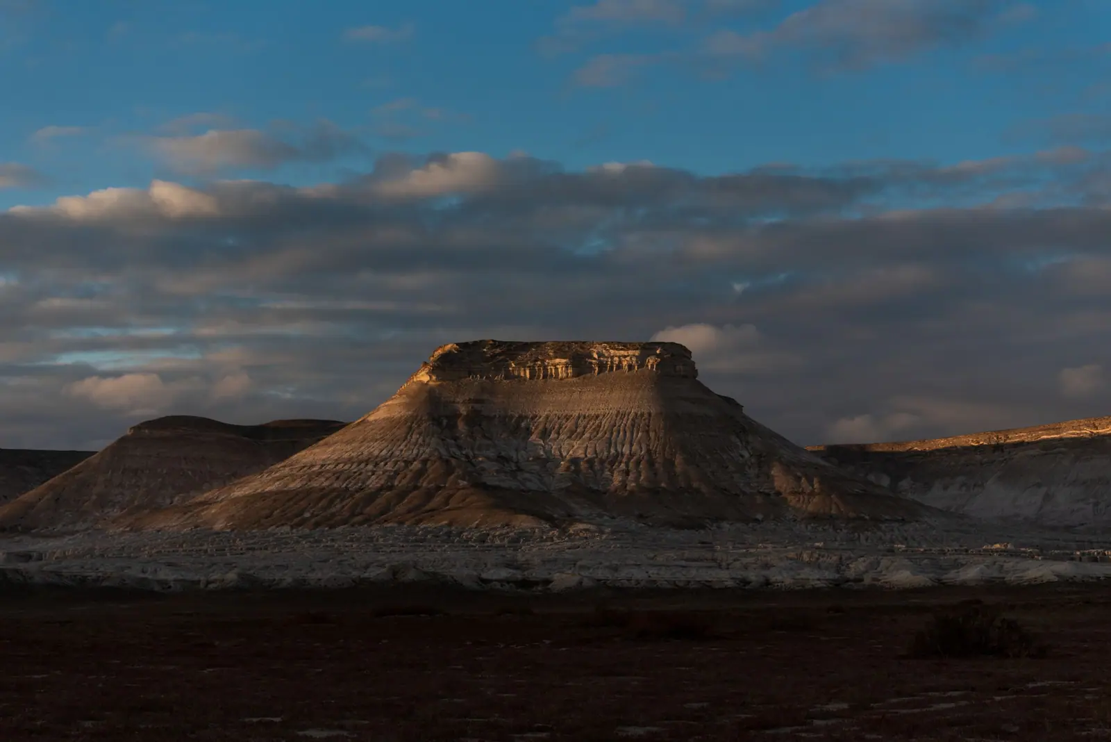
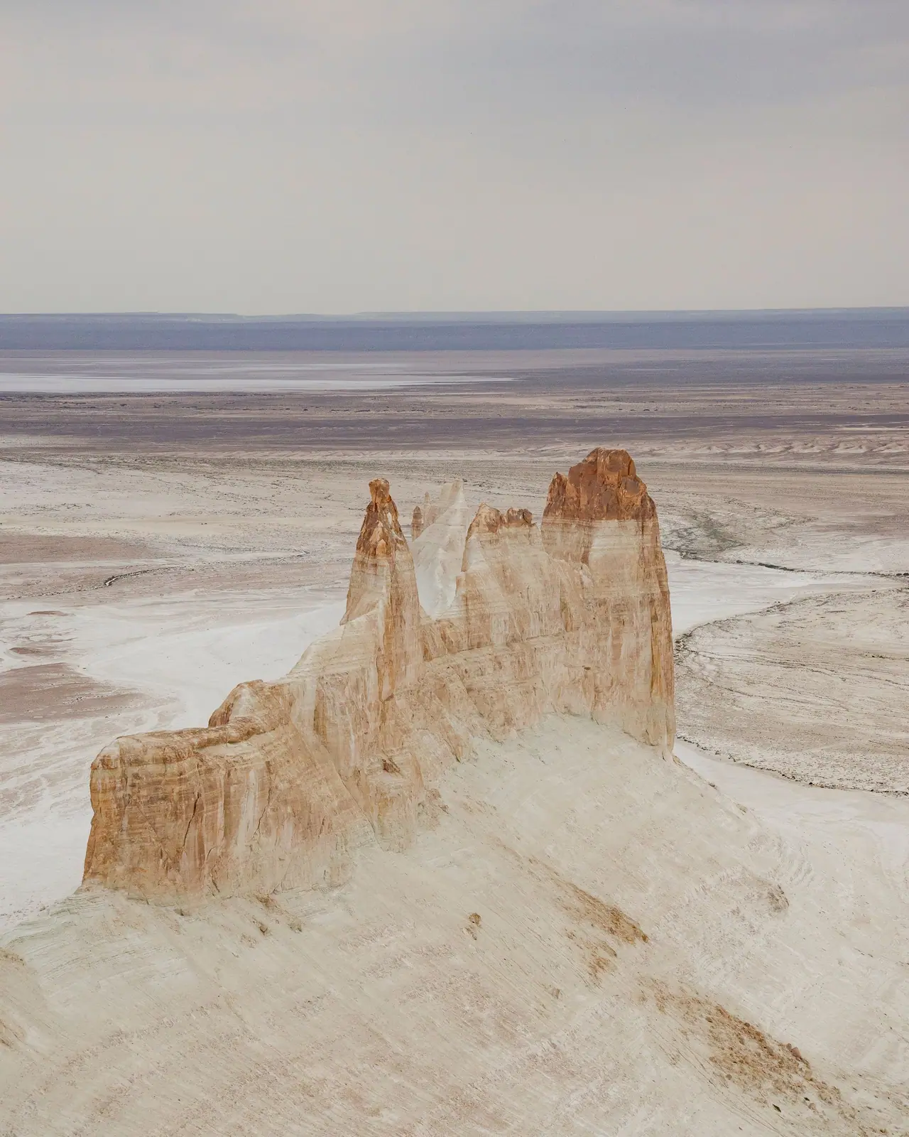
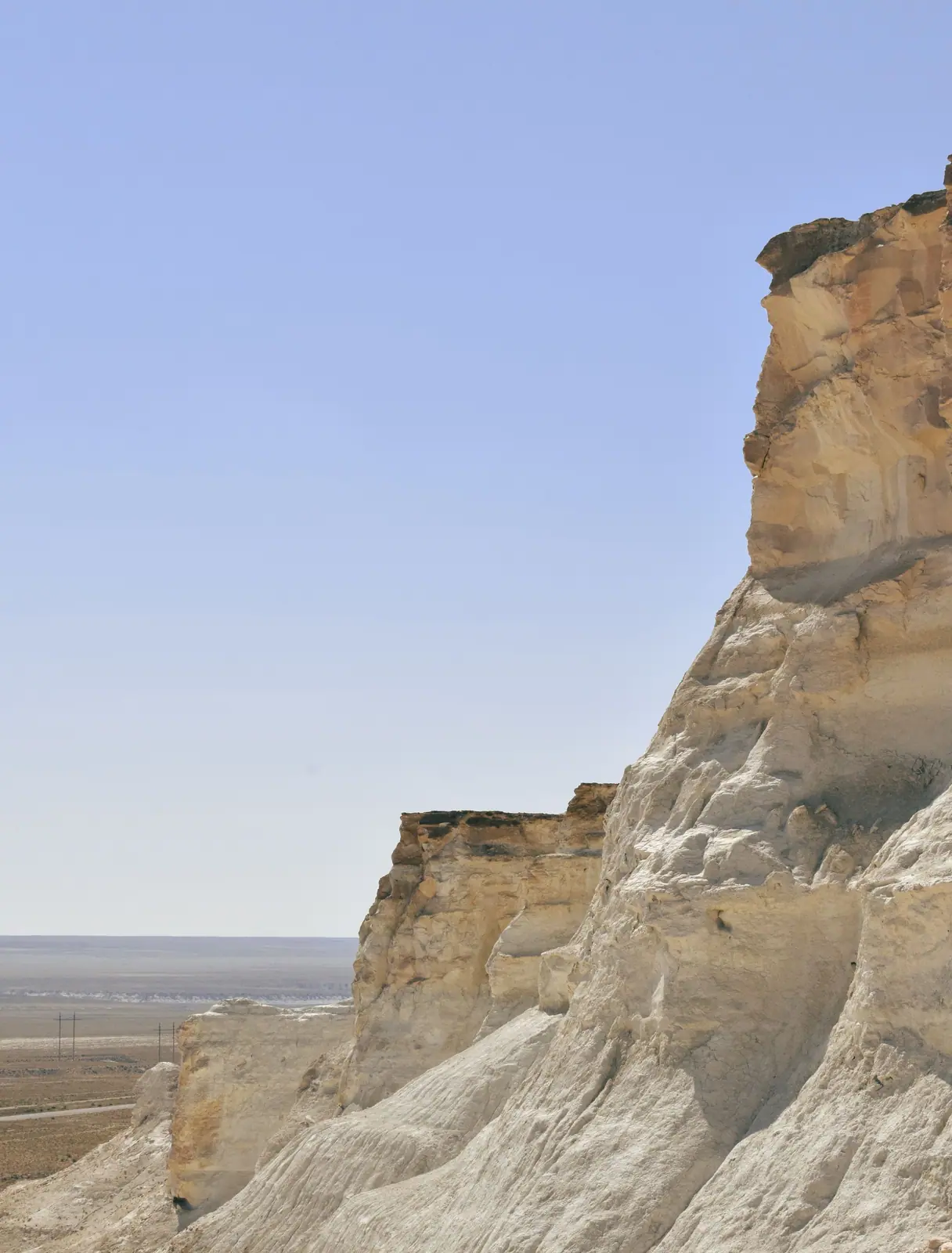
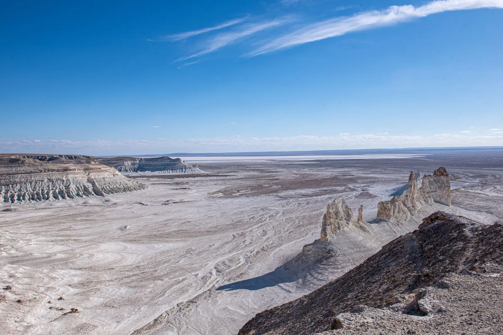
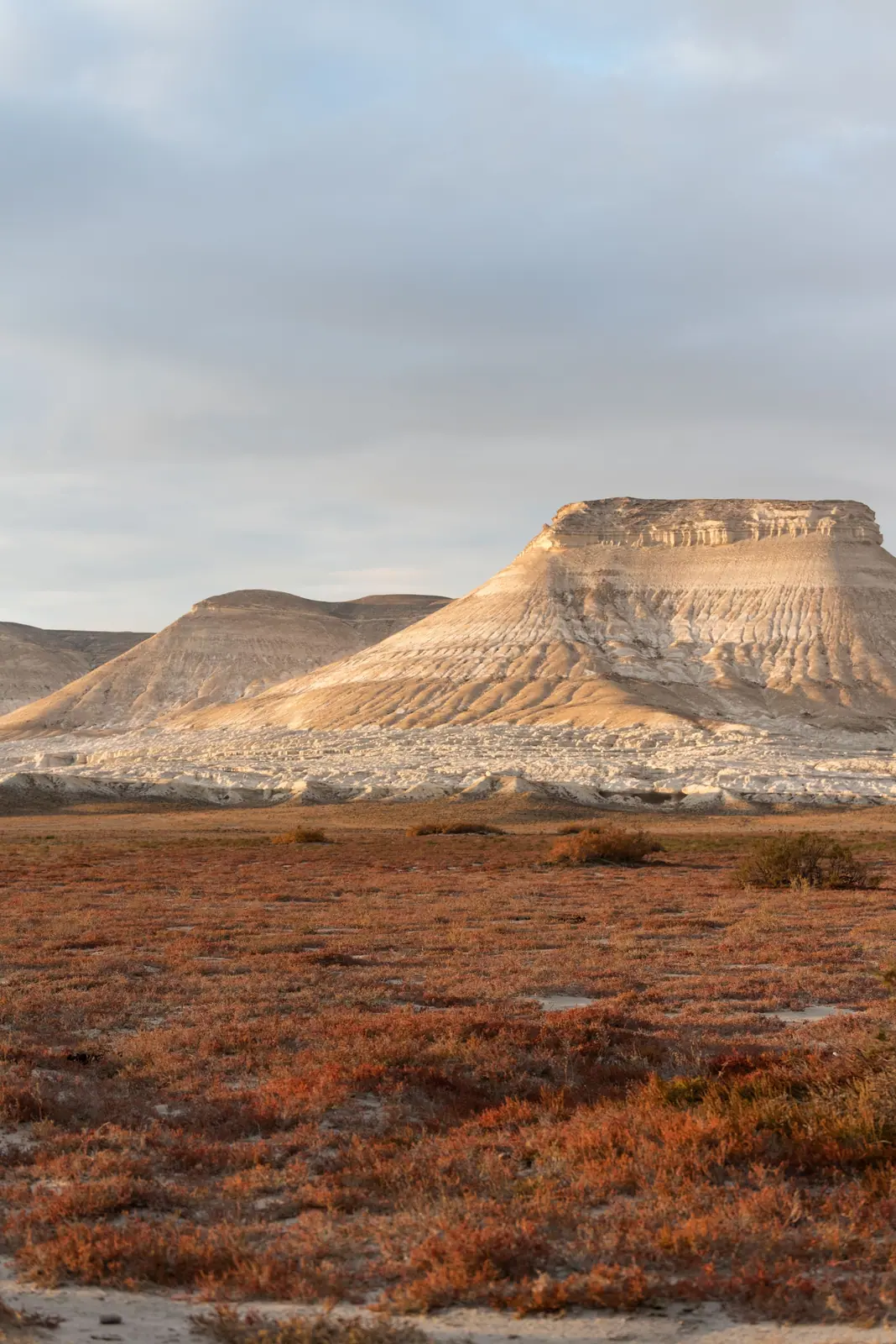
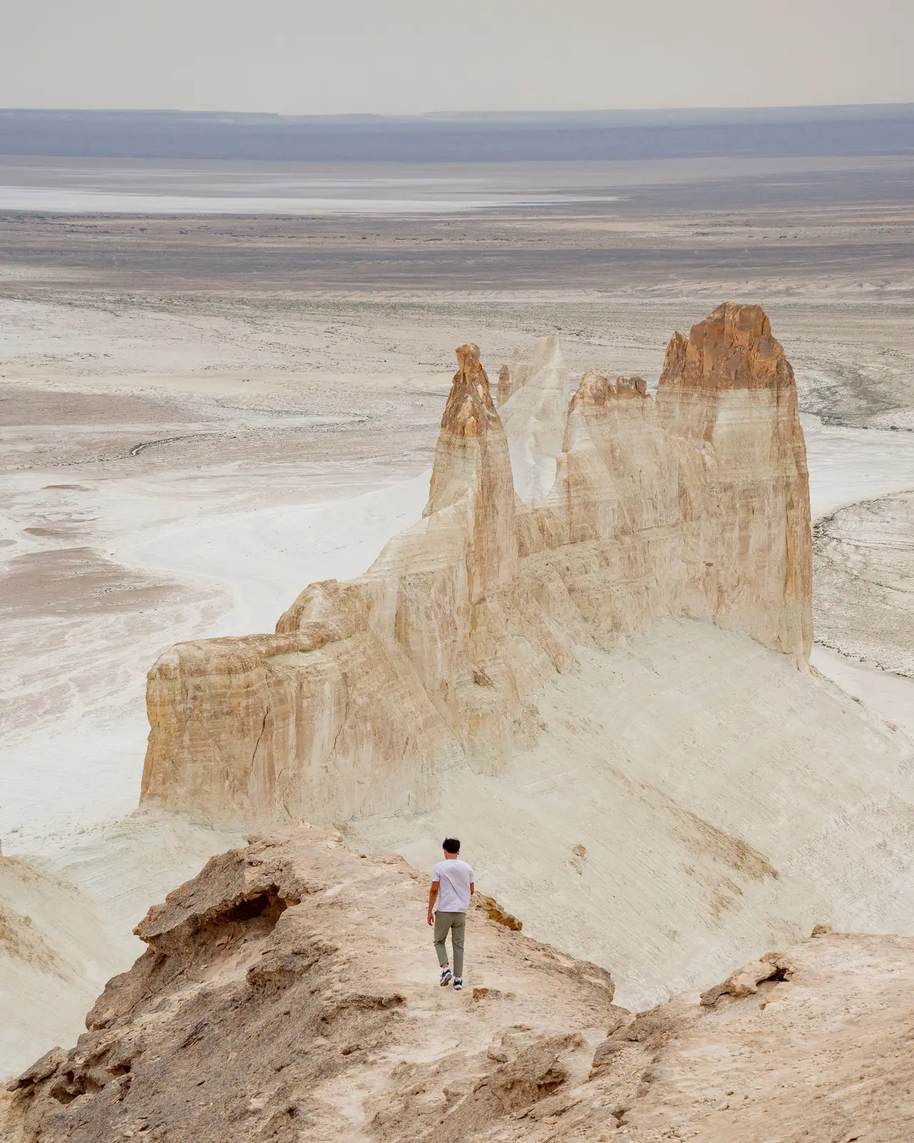
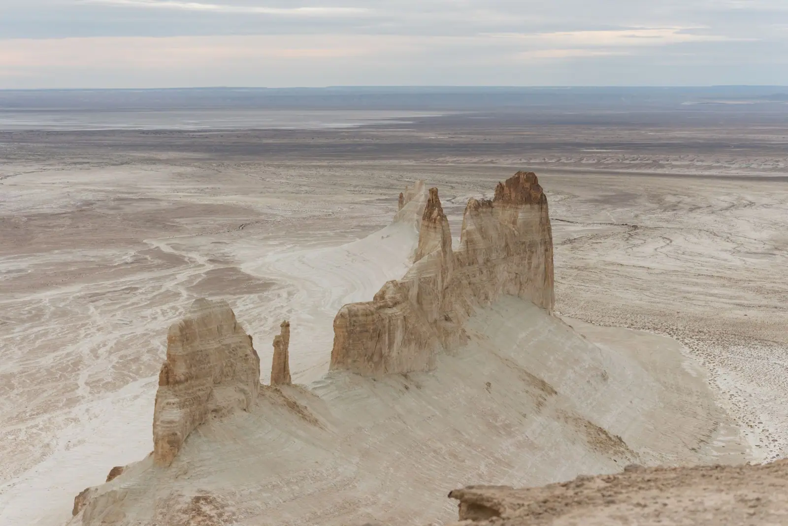
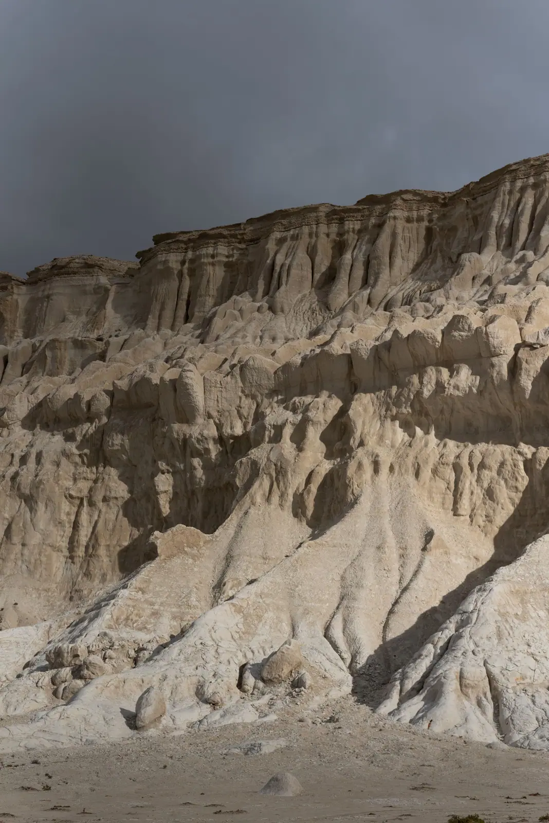
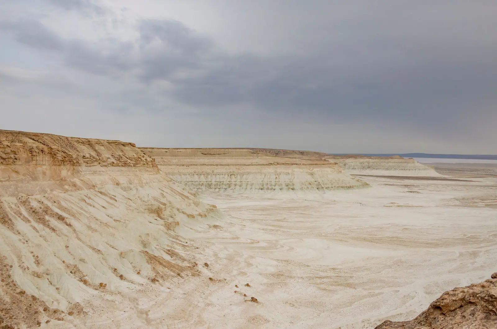
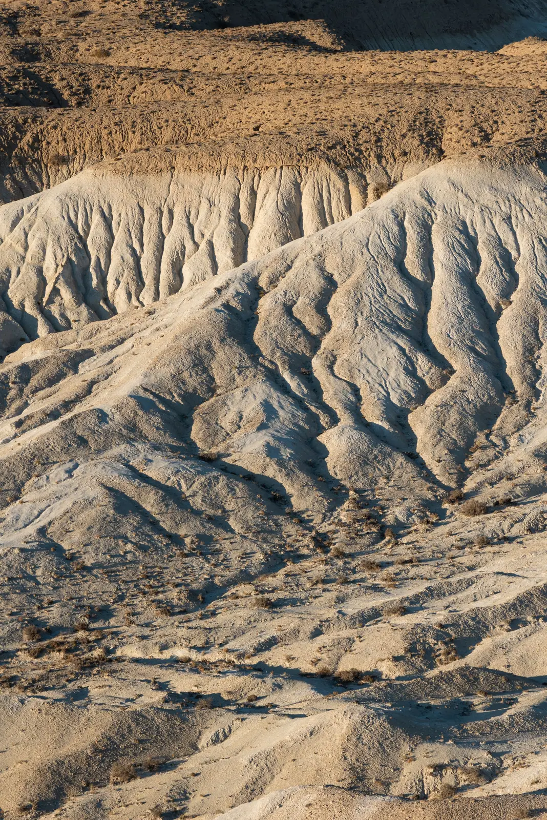
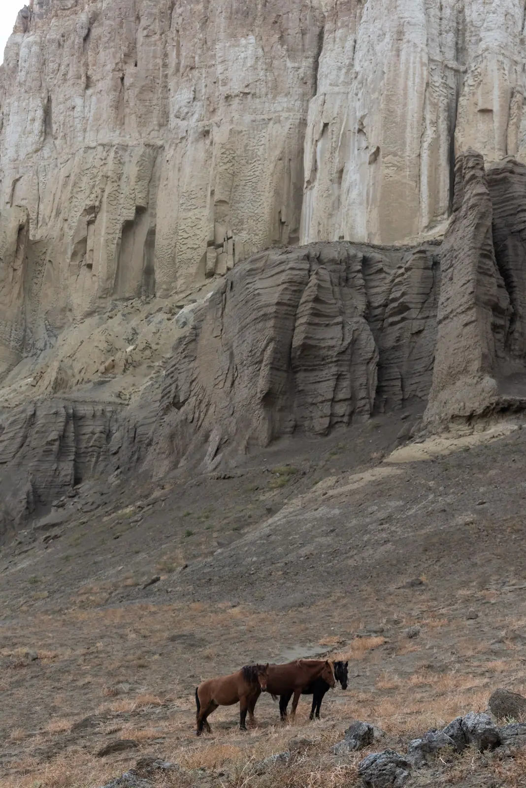
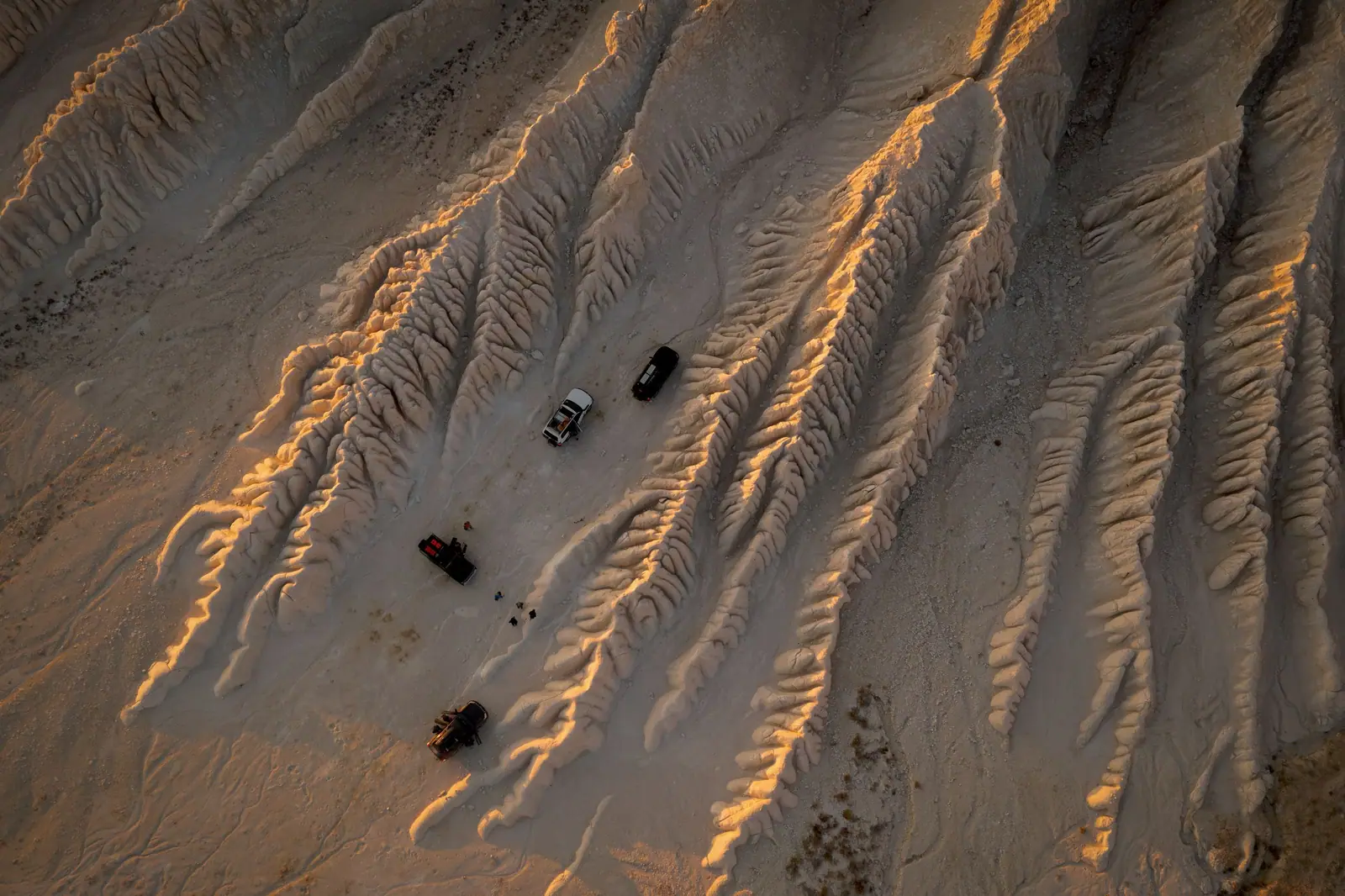
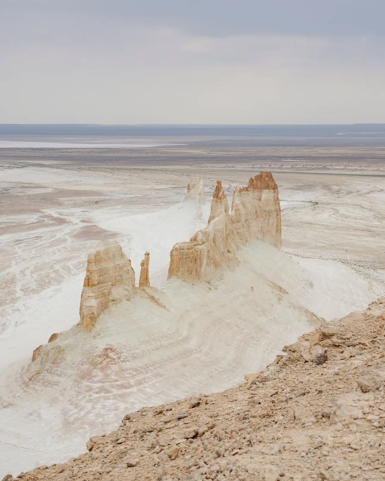
Real photos by travellers (Pexels, Unsplash, Wikimedia Commons); author and licence are given in each caption.
Bozzhyra is a valley of white chalk pinnacles on the western escarpment of the Ustyurt Plateau, in the Karakiya district of Mangystau region. It lies about 298–300 km from Aktau and 148 km from Zhanaozen, and Tengrinews says only off-road vehicles can get around it. It belongs to the Zhabayushkan sanctuary, not the Ustyurt Nature Reserve; since 1 September 2026 a car pays 0.7 MCI to enter, and foreigners pay double. Go between mid-April and late May or in the second half of September, and bring water and fuel: there is no phone signal.
Where Bozzhyra is
The valley sits where the plateau drops away in a steep cliff, locally called a chink. The Astana Times describes it as 17 by 11 km; the famous pair of pinnacles, the “fangs”, rise about 200 m. kazakhstan.travel gives the coordinates as 43.414° N, 54.073° E and a height of about 250 m; 24KZ puts the highest point at 287 m above sea level. The nearest village, Senek, is about 70 km away (Tengrinews, 2021).
Do not mix it up with the Aktau Mountains in Altyn-Emel park in the south-east: similar white and banded slopes, but no link to Aktau city on the Caspian.
A sanctuary, not the Ustyurt reserve
The Ministry of Ecology told Lada.kz in 2020 that Bozzhyra lies in Zhabayushkan, a local sanctuary created on 31 July 2012. It covers 316,141 ha and is run by Kyzylsay regional nature park. The Ustyurt State Nature Reserve is a separate area of 223,342 ha in the same district (Wikipedia), with its own fees and passes. Mangystau also has the Kenderli-Kayasan reserve zone, but we found no source placing Bozzhyra inside it.
Tengrinews (2022), citing the regional government: you need a paid pass, test drives are banned, breaking rocks is prohibited, and inspectors patrol the area.
How to get to Bozzhyra
Fly into Aktau and drive via Zhanaozen along the Zhanaozen – Beket-Ata road, from which a dirt track branches off to the valley. Tengrinews suggests hiring a 4x4 with a driver-guide for two or three days; going alone needs serious preparation, as it is easy to get lost off the beaten track.
A visitor centre opened in April 2026 on the approach road, 17 km from the valley; it takes up to 60 visitors a day and helps with navigation and guides (24KZ).
What to see in Mangystau
Distances are from Aktau; where sources disagree, both figures are shown.
| Place | What it is | From Aktau | Source |
|---|---|---|---|
| Sherkala | 332 m solitary mountain, 18 km from Shetpe | 94 km; 175–180 km by road | Wikipedia; Tengri Auto |
| Torysh, “valley of balls” | stone concretions 10–15 cm to 4 m across | about 90 km; about 150 km | tourism ministry; Wikipedia |
| Airakty – Shomanay | hills nicknamed the “valley of castles” | about 200 km | tourism ministry |
| Tuzbair salt flat | 15 × 4 km, chalk cliffs up to 60 m | 230 km; 250–300 km | BES.media; tourism ministry |
| Kyzylkup, “Tiramisu” | red, white and yellow layered slopes | about 300 km | tourism ministry |
| Bokty | a cone shaped like a yurt | 280–300 km | tourism ministry |
| Karagiye depression | 132 m below sea level, 85 × 25 km | about 50 km | Wikipedia; Tengri Auto |
The Ustyurt chinks. Inside the Ustyurt reserve the western escarpment peaks at +340 m near Kugusem well, while Kendirli sor drops to −52 m (Wikipedia). The reserve is open on two routes, Önere and Kökesem, with a paid pass arranged in advance; campfires and litter are banned (Lada.kz, June 2026).
Torysh is a field of round concretions formed on the floor of the ancient Tethys Ocean 40–60 million years ago (Wikipedia). Sherkala looks like a yurt from one side and a resting lion from another; locals advise against climbing it, as the slopes are dangerous even for experienced hikers (Tengri Auto). Tuzbair is about 40 km of dirt road off the A-33 highway; after rain it becomes a mirror of water several kilometres long (BES.media). Airakty has nothing to do with the Valley of Castles at Charyn Canyon.
Between the natural sights lie underground mosques such as Beket-Ata, Shakpak-Ata and Sultan-Epe. In July 2026 the “Rock Mosques and Associated Sacred Sites of Mangystau” joined the UNESCO World Heritage List; they are active pilgrimage sites with their own rules.
How many days you need
Bozzhyra alone is a full day out of Aktau, about 300 km each way: many visitors leave at dawn and are back in the city by evening (24KZ). Tengri Auto describes a five-day loop, Aktau – Sherkala – Torysh – Shakpak-Ata – Bozzhyra – Karagiye – Zhygylgan – Sultan-Epe – Aktau, of 950–1,100 km, only about 35% of it paved.
When to go
Tengrinews (May 2021) recommends mid-April to late May and the second half of September. Summer heat easily passes +40 °C, and desert nights are 20–30 degrees colder than the day (Tengri Auto). Rain is the other risk: Kyzylsay park reports buses and heavy vehicles stuck near Bozzhyra after downpours. We found no reliable information on winter access.
Fees and permits
New Kyzylsay tariffs took effect on 1 September 2026 and cover Bozzhyra, Tuzbair, Kyzylkup and Bokty (Lada.kz). They are set in MCI, so the tenge amount changes every January; the park fee calculator converts it.
| Kyzylsay park service | Fee | Source |
|---|---|---|
| Car entry | 0.7 MCI | BES.media |
| Walking trails | 0.2 MCI per person per day | Lada.kz, BES.media |
| Tent camp | 0.1 MCI per person per day | Lada.kz |
| Guide, group up to 20 | 1.8 MCI per day | BES.media |
| Photo / video filming | 4.4 / 8.7 MCI | Lada.kz, BES.media |
Foreign visitors pay double, according to Lada.kz. Pensioners, veterans and children under six enter free; students get 25% off. How to pay in 2026 is not described; in 2021 it was done in advance via a banking app, as the checkpoint has no internet (Lada.kz). The Ustyurt reserve charges 0.2 MCI per person per day and 0.7 MCI per car under Annex 7 of Order No. 232.
Border zone. Under Decree No. 356 the zone along the Turkmen border is 25 km deep. The Ustyurt reserve and the Karynzharyk mesas are listed as places where foreigners need no border-zone pass. Bozzhyra is not on the list, and we found no source placing it inside the zone; see border-zone passes.
Staying safe in the desert
- Fuel is sold only in Aktau, Zhanaozen and Shetpe (Tengri Auto).
- No signal at Bozzhyra (kazakhstan.travel): download offline maps first.
- Tyres: local flint slices them, so bring more than one spare and, ideally, travel with a second car.
- No hotels on the route: sleep in a tent or the car, with plenty of water and food.
- Wind rises suddenly and there is no shelter (The Astana Times).
- Cliffs: Kyzylsay park asks visitors to keep away from edges, stay on marked routes, watch children constantly and skip remote walks in wind, rain or fog.
For a general checklist, see what to sort out before visiting a park.
Bozzhyra and the wild landscapes of Mangystau: when to go, month by month
- January: off season
- February: off season
- March: possible
- April: good
- May: best time
- June: possible
- July: possible
- August: possible
- September: best time
- October: possible
- November: off season
- December: off season
Mid-April to late May and the second half of September; summer tops +40 °C, and dirt tracks turn to mud after rain.
Bozzhyra and the wild landscapes of Mangystau: tips before you go
- Fuel is sold only in Aktau, Zhanaozen and Shetpe, so carry fuel and water into the steppe.
- There is no signal or internet at Bozzhyra: download offline maps and your route beforehand.
- Local flint slices tyres, so bring more than one spare and travel with a second car if you can.
- Foreigners pay double the Kyzylsay park tariff, and the Ustyurt reserve needs a pass arranged in advance.
- Buses have got stuck near Bozzhyra after downpours: do not head out on remote tracks in the rain.
More to see nearby


Frequently asked questions
How far is Bozzhyra from Aktau?
Can I drive to Bozzhyra in a regular car?
How much does it cost to visit Bozzhyra?
Is Bozzhyra part of the Ustyurt Nature Reserve?
When is a good time to visit Mangystau?
How many days do I need for Mangystau?
Is there phone signal or fuel at Bozzhyra?
Sources
- Bozzhyra tract — kazakhstan.travel
- Bozzhyra tract “sugar castles” fascinate tourists — The Astana Times, 5 Jul 2019
- The battle for Bozzhyra — Tengrinews, 24 Feb 2021 (in Russian)
- From Almaty to Bozzhyra by car — Tengrinews, 24 May 2021 (in Russian)
- Off-road test drive near Bozzhyra reported to police — Tengrinews, 18 May 2022 (in Russian)
- Ministry of Ecology comments on building at Bozzhyra — Lada.kz, 8 Nov 2020 (in Russian)
- Entry to Bozzhyra is now paid — Lada.kz, 1 Apr 2021 (in Russian)
- What visitors will pay at Bozzhyra and other Mangystau sites — Lada.kz, 13 Aug 2026 (in Russian)
- New prices at Kyzylsay nature park — BES.media, 11 Aug 2026 (in Russian)
- Kyzylsay park warns visitors about risks at Bozzhyra — Lada.kz, 4 Jun 2026 (in Russian)
- Visitor centre opens at Bozzhyra — 24KZ, 20 Apr 2026 (in Russian)
- Bozzhyra draws foreign visitors — 24KZ, 10 Jul 2026 (in Russian)
- Construction of the Bozzhyra road begins — Informburo, 10 Jan 2026 (in Russian)
- Progress on the Bozzhyra road — Lada.kz, 31 May 2026 (in Russian)
- Screening conclusion on the Bozzhyra access road — Mangystau Department of Ecology, 24 Jul 2025 (in Russian)
- Sherkala, Sultan-Epe: a route through the most mysterious region — Tengri Auto, 13 Jun 2026 (in Russian)
- Ten summer destinations in Mangystau — Ministry of Tourism and Sports, 21 Jul 2026 (in Russian)
- Tuzbair salt flat as a mirror after rain — BES.media, 10 May 2025 (in Russian)
- Önere spring in the Ustyurt reserve — Lada.kz, 11 Jun 2026 (in Russian)
- Ustyurt Nature Reserve — Russian Wikipedia
- Sherkala — Russian Wikipedia
- Torysh — Russian Wikipedia
- Karagiye — Russian Wikipedia
- Order of the Minister of Ecology and Natural Resources No. 232 of 2 Oct 2024, Annex 7
- Government Decree No. 356 — border zone limits and exemptions
- Government Decree No. 942 of 14 Sep 2010 on the Kenderli-Kayasan reserve zone
- UNESCO adds Mangystau rock mosques to World Heritage List — The Times of Central Asia, 27 Jul 2026