Verified: 2026-09
Kolsai Lakes: why go
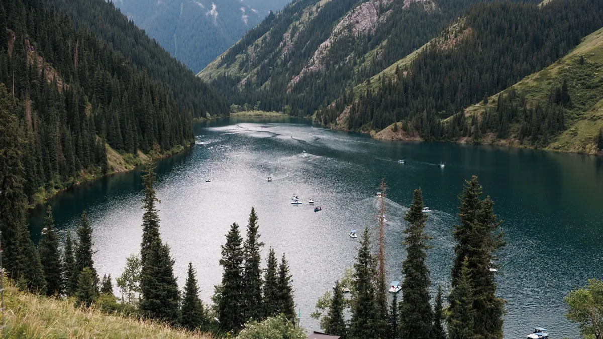
Three Kolsai lakes
Lower Saty at 1,818 m, middle Mynzhylky at 2,252 m and upper Sarybulak at 2,850–2,900 m, stepped up the Kolsai gorge.
The trail to middle Kolsai
7.35–7.8 km past the lower lake and up through spruce forest over stream bridges, about 470 m of ascent: 3–4 hours up, 1.5–2 down.
Kaindy's sunken forest nearby
A lake about 400 m long, formed after the 1911 earthquake when a rockfall dammed the gorge; spruce trunks still stand in the water.
Saty village inside the park
The base for the lakes: in 2023 the village had 90 guesthouses and 30 hotels, double the number it had in 2019.
A UNESCO biosphere reserve
Since 15 September 2021 the park has been part of UNESCO's World Network of Biosphere Reserves, a separate status from World Heritage.
No border pass for the lower lakes
Decree No. 356 names Saty, Kaindy and the lower and middle Kolsai lakes as exceptions, so even foreigners need no border-zone pass.
Kolsai Lakes in photos
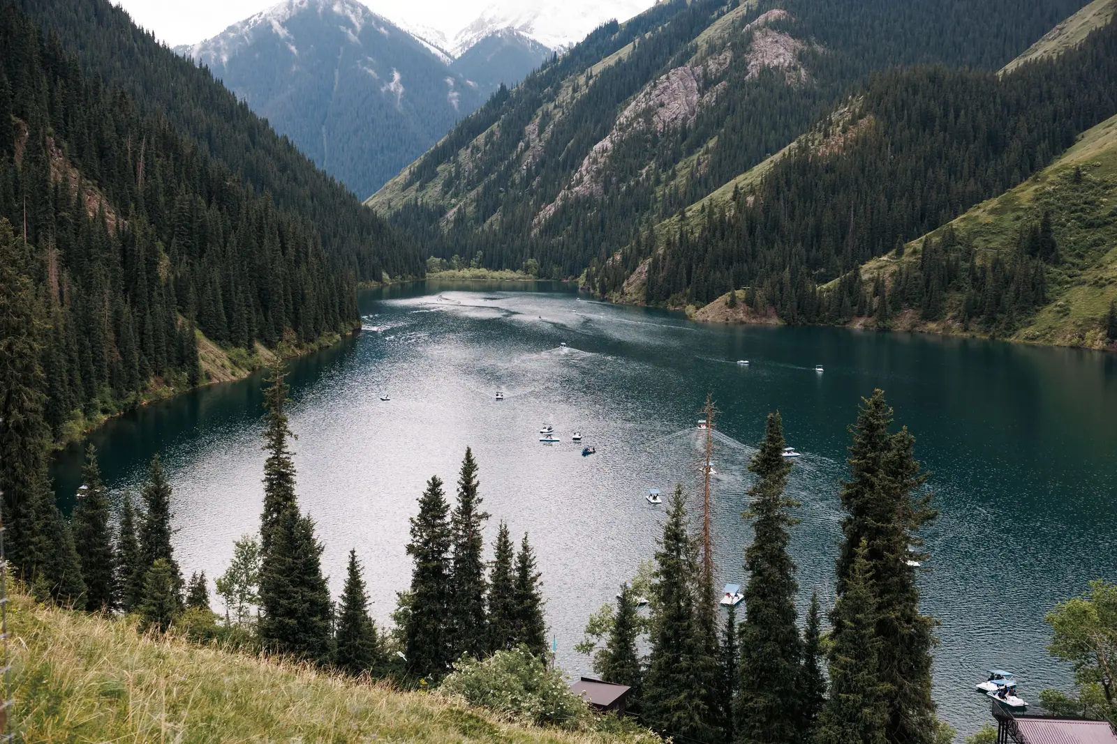
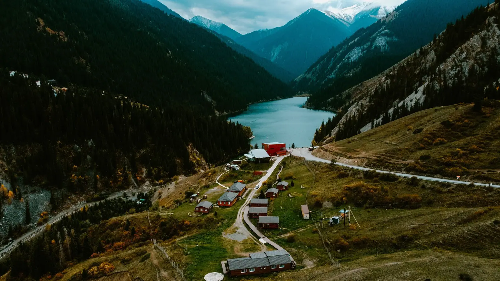
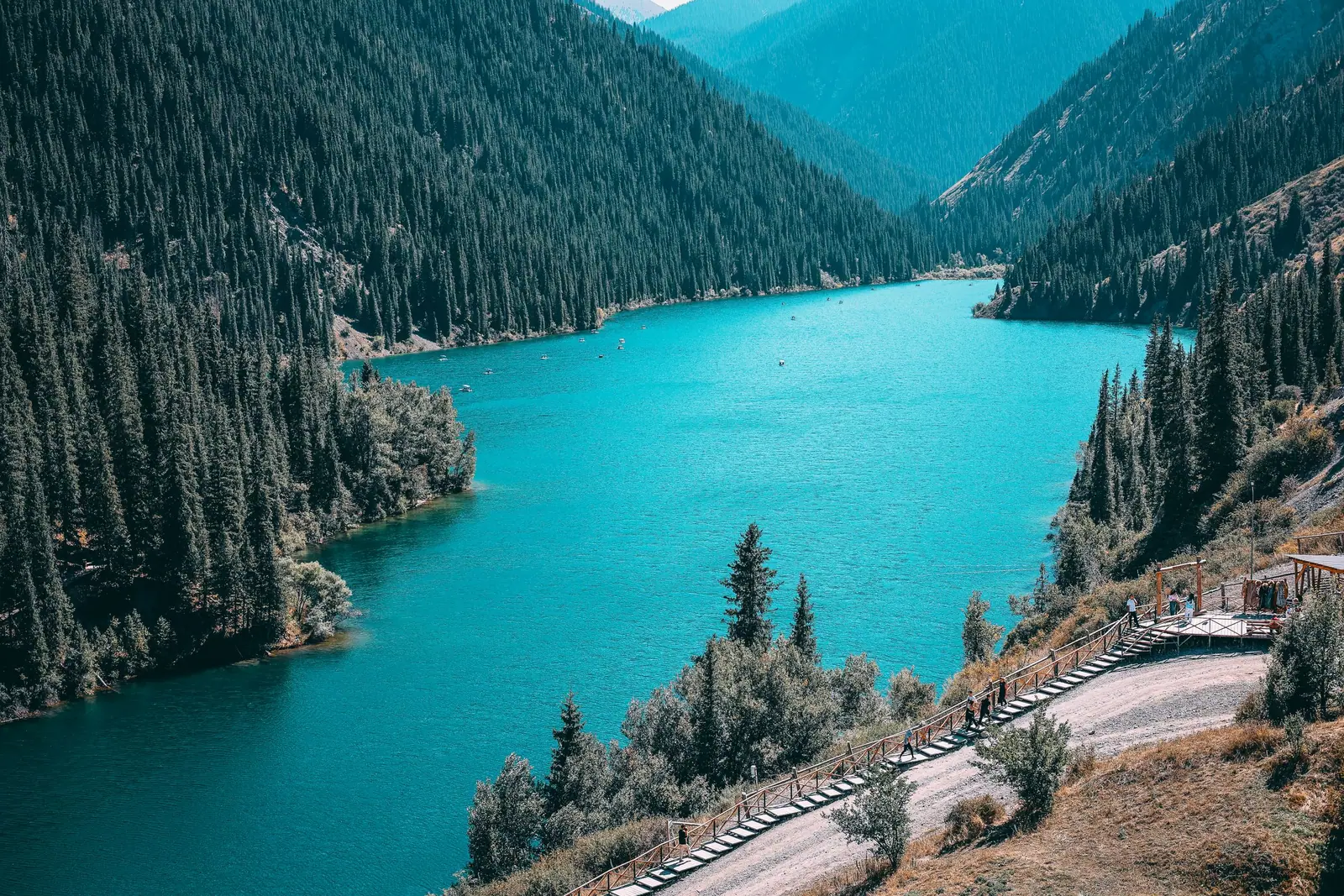
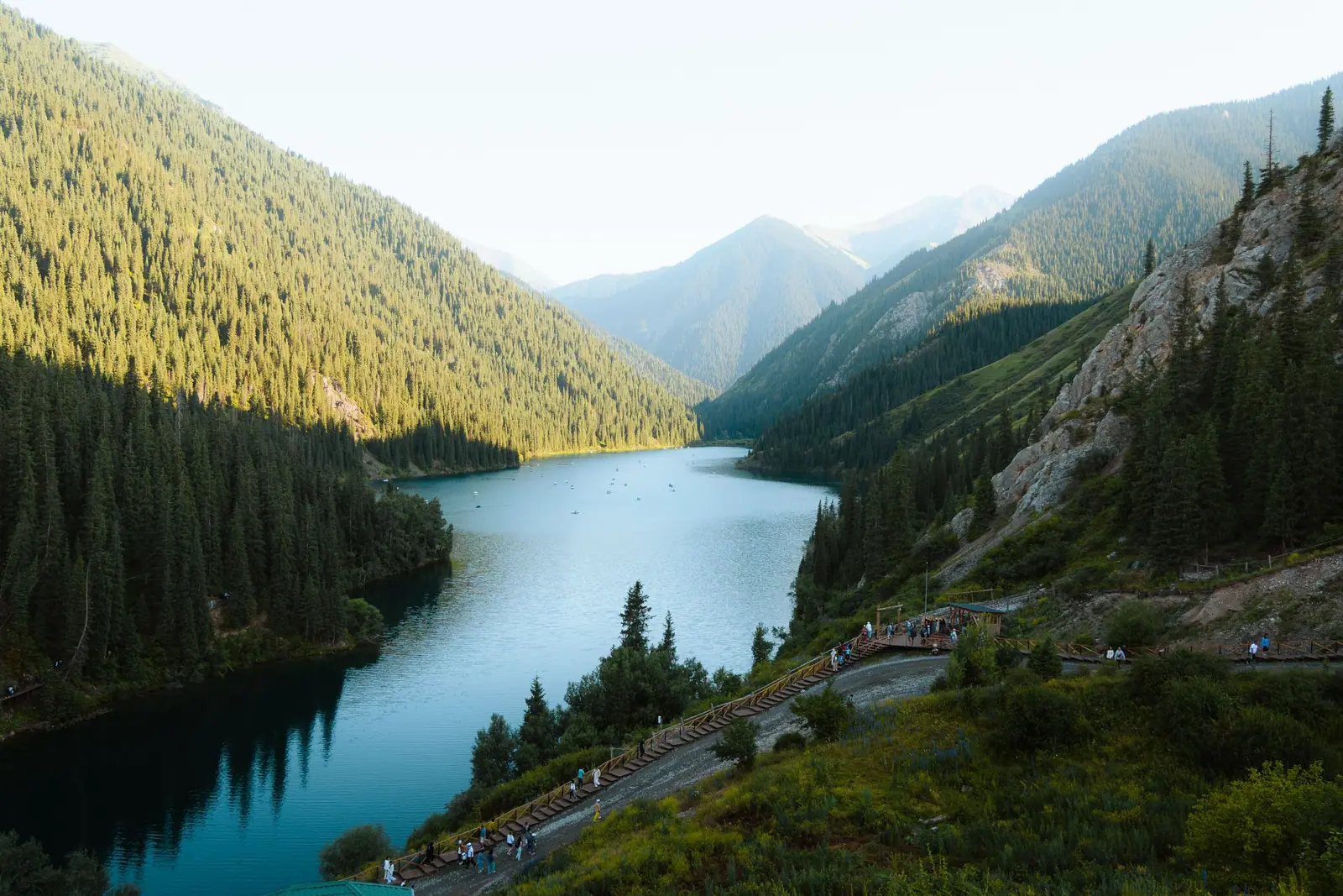
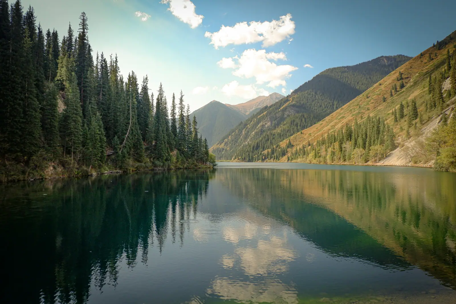
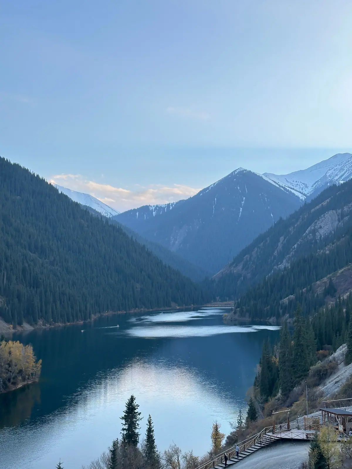
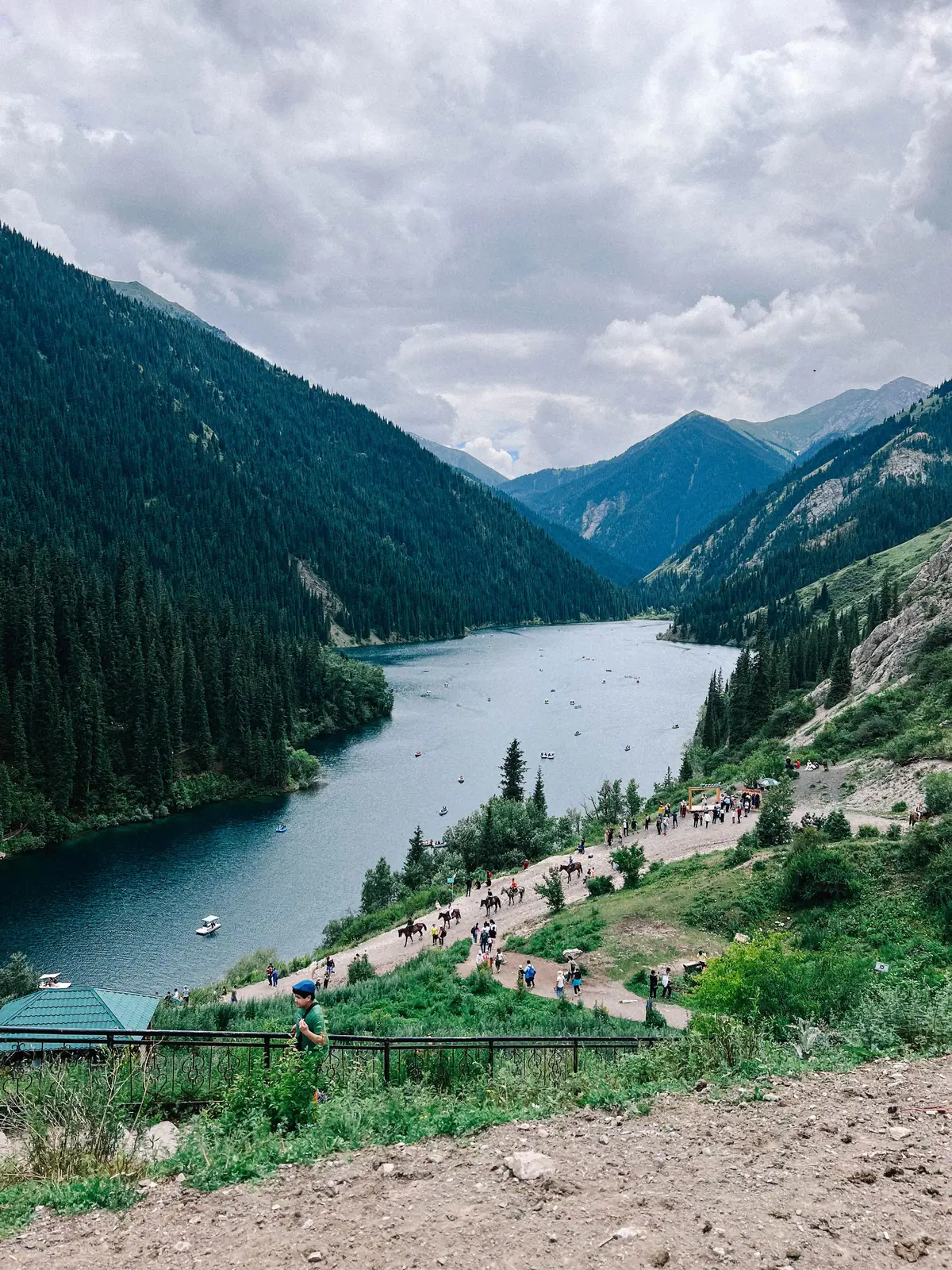
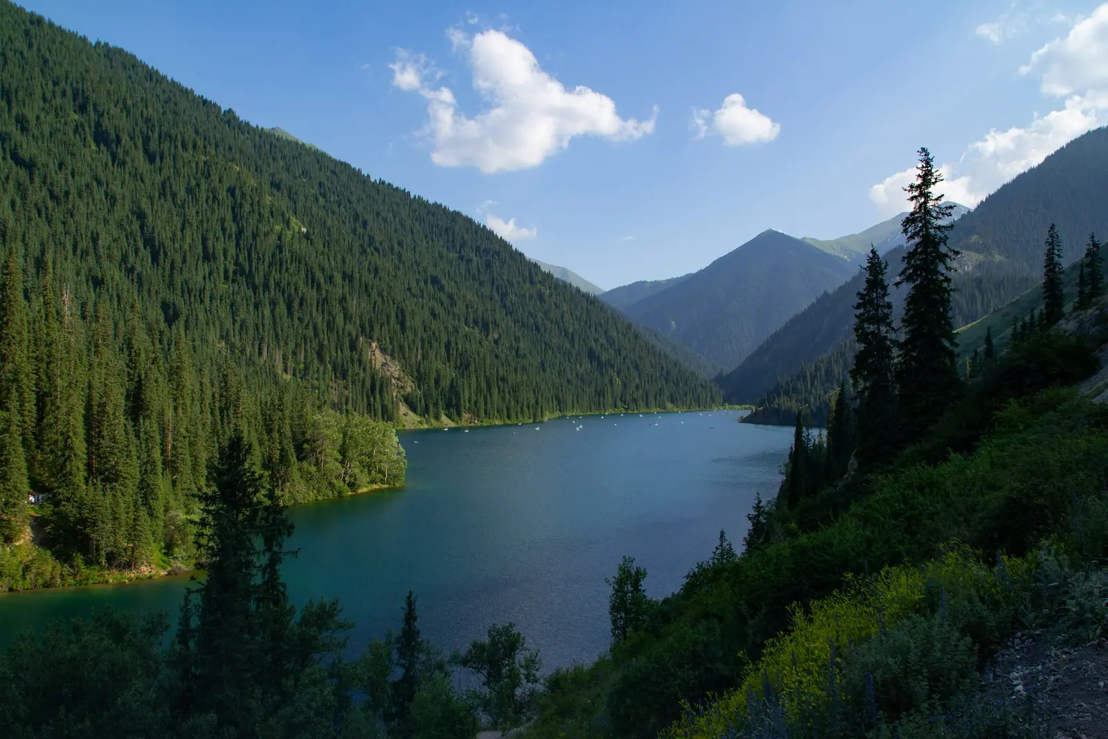
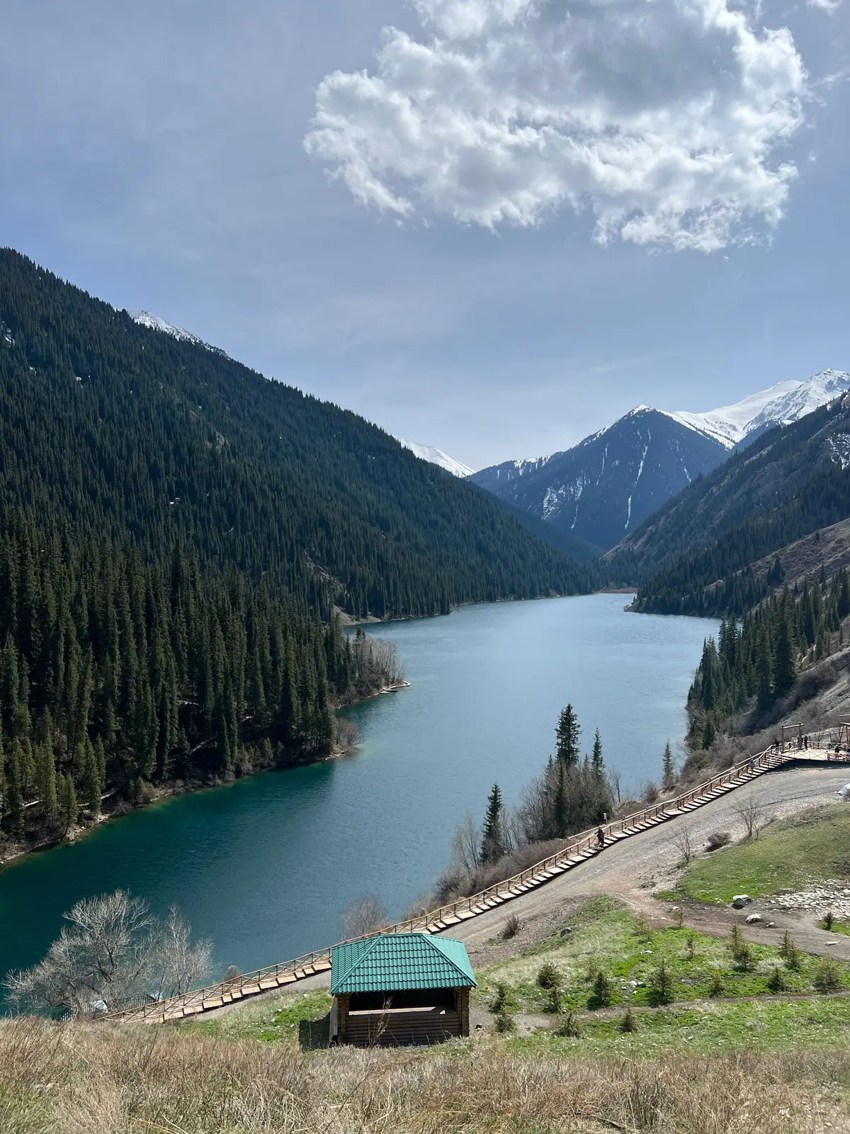
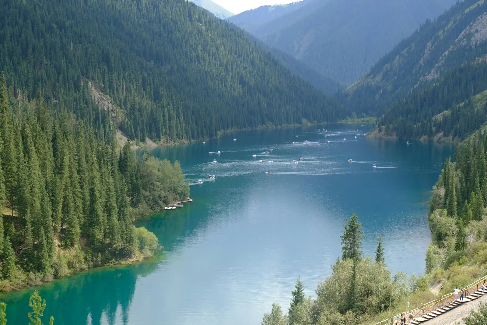
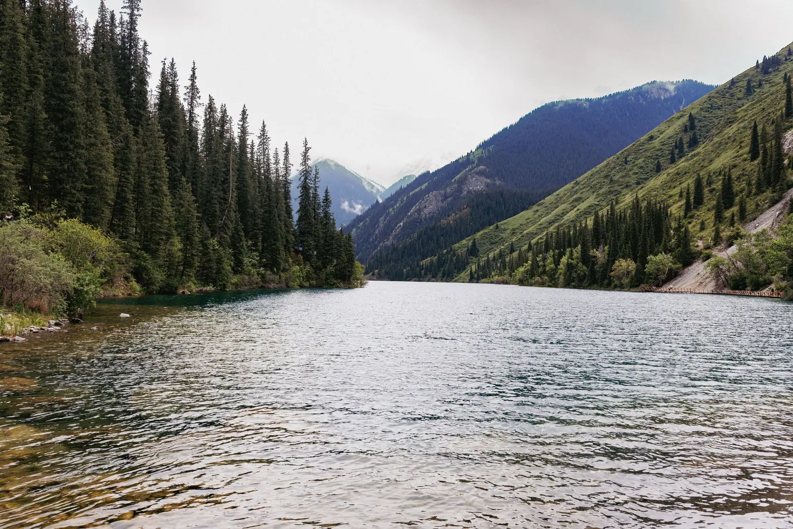
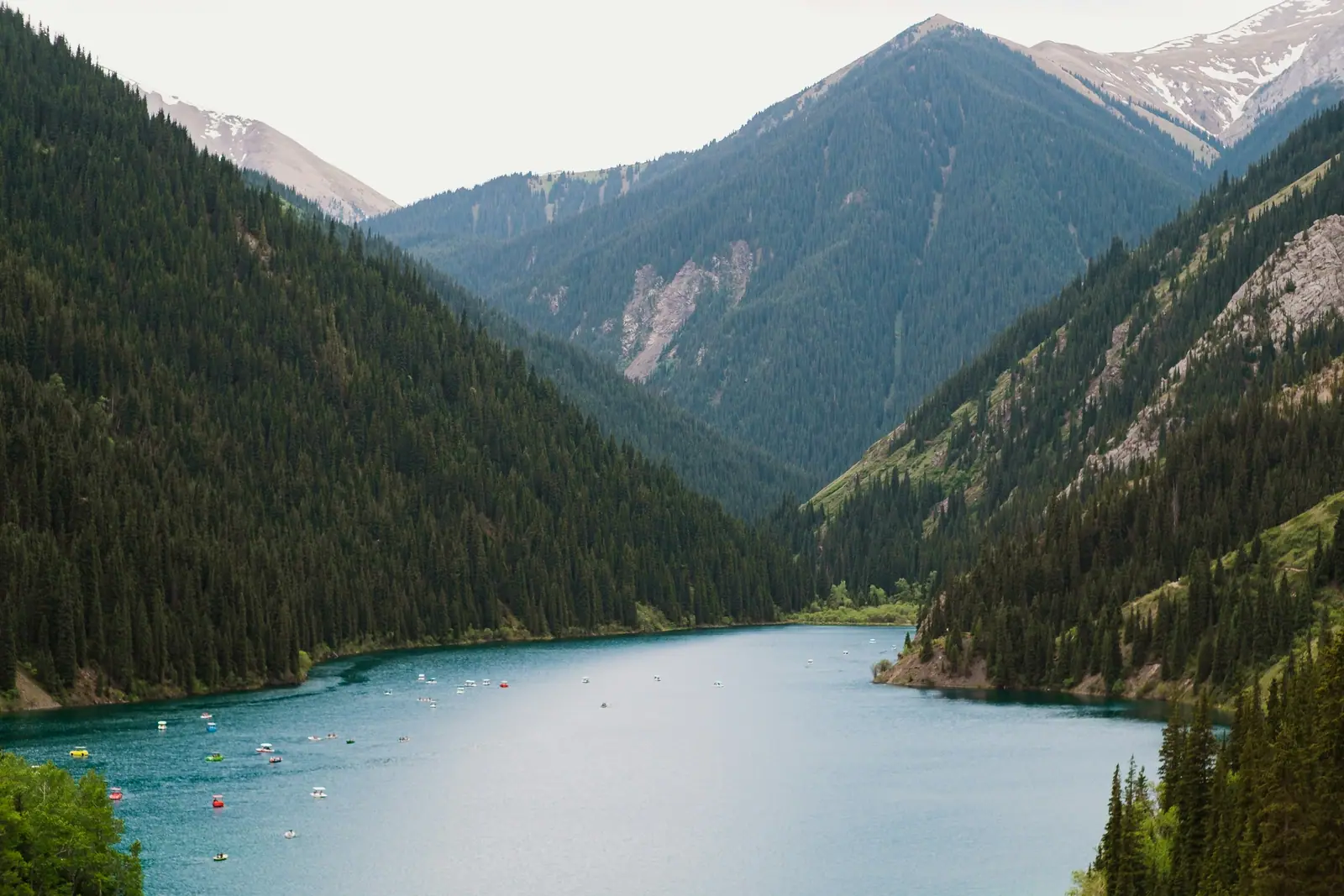
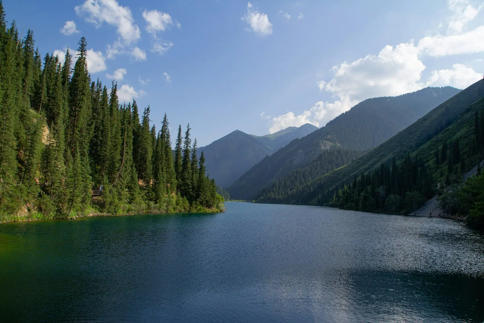
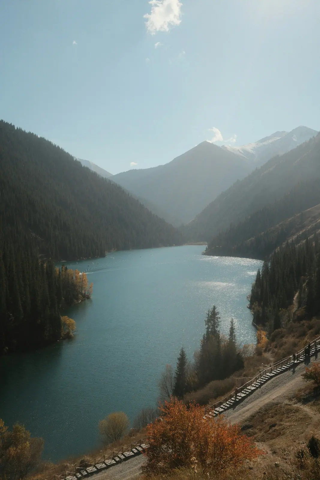
Real photos by travellers (Pexels, Unsplash, Wikimedia Commons); author and licence are given in each caption.
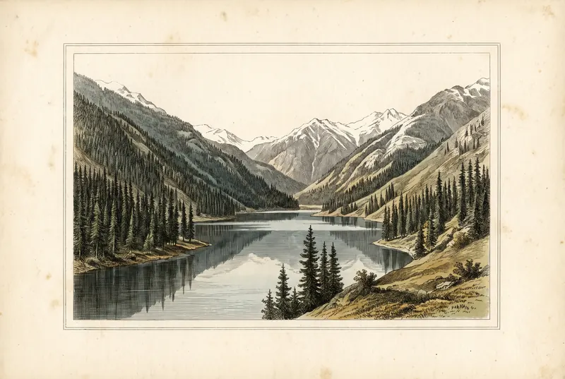
Kolsai Lakes State National Natural Park — Almaty Region. Established on 7 February 2007.
Key figures
| Official name | Kolsai Lakes State National Natural Park |
| Area | 161 045 ha |
| Region | Almaty Region |
| Established | 7 February 2007 |
Entrance tariff
0.2 MCI per pedestrian, 0.7 MCI per car. In 2026 that is 865 ₸ and 3,027.5 ₸.
The tariff is set by appendix 16 to Order No. 232 of 2 October 2024.
The tariff is set in MCI units rather than tenge, so the amount changes with each January budget.
What to see
- three Kolsai lakes
- Kaindy Lake
- mountain trails
Kolsai Lakes in short
The Kolsai Lakes are a chain of three mountain lakes in the Kolsai gorge in the south-east of Almaty Region, about 10 km from the Kyrgyz border. The base is Saty village, 280 to 320 km from Almaty depending on the road you take. The lower lake is reached by paved road, the trail to the middle lake is generally open from April to October, and July to September is the best hiking window.
Since 15 September 2021 the Kolsai Koldery national park has been part of UNESCO’s World Network of Biosphere Reserves — a Man and the Biosphere designation, not World Heritage status.
Most visitors plan two days: the drive and the lower lake on day one, then the hike to the middle lake or a side trip to Kaindy on day two. Trekking Club notes that reaching the middle lake as a day trip from Almaty is hard.
The three lakes: altitudes and distances
Numbering is inconsistent — some sources call the lower lake “first”, others the upper one — so go by names and altitudes.
| Lake | Local name | Altitude | Access |
|---|---|---|---|
| Lower | Saty | 1,818 m | by car, paved road to the shore |
| Middle | Mynzhylky | 2,252 m | on foot, 7.35–7.8 km from the lower lake, ~470 m ascent |
| Upper | Sarybulak | 2,850–2,900 m (sources differ) | another 4–5 km from the middle lake |
All sources agree on the lower and middle lakes. For the upper lake, Russian Wikipedia gives 2,850 m, while Kolesa.kz and nur.kz give 2,900 m. The middle lake is the largest: over a kilometre long and around 900 m wide.
The trail from the lower to the middle lake
The trail follows the western shore of the lower lake and continues up the valley through spruce forest, crossing streams on small bridges. Trekking Club measured 7.35 km one way; Kolesa.kz gives 7.8 km. Total ascent is about 470 m, with the steepest climb just below the middle lake.
Expect 3–4 hours up and 1.5–2 hours down, 5–6 hours of walking in total. Difficulty is moderate and no technical gear is needed, but proper hiking shoes matter: the path gets slippery after rain.
Trekking Club reports no infrastructure at the middle lake, and nur.kz notes that overnight stays on the two upper lakes are in tents only. If you plan to sleep up there, carry everything in.
From the middle lake to the upper one is another 4–5 km of rocky trail. See the border-zone section below before heading that far.
Getting there from Almaty
The route described by nur.kz and Kolesa.kz: about a third of the way on the Almaty–Khorgos highway, right after Shelek towards Baiseit, then through the Kokpek gorge to Zhalanash and on to Saty. Kolesa.kz mentions a bypass around Zhalanash that saves about 6 km on a rougher surface.
Nur.kz estimates the drive at about 4 hours; Tengrinews described the tourist bus taking a little over 4 hours. According to The Astana Times, the road to the lower lake has been paved in recent years.
Kolsai is often combined with Charyn Canyon and Kaindy into a two- or three-day loop — see building a route around Charyn and getting to Charyn Canyon from Almaty.
Saty: where to stay
Saty sits inside the national park, and almost all visitor infrastructure in the area is here. In 2023 the UNWTO named Saty one of its Best Tourism Villages. The Astana Times reported 90 guesthouses and 30 hotels in the village that year, double the 2019 figure.
Accommodation ranges from family guesthouses and small hotels to yurt camps. The lower lake has recreation areas; the middle and upper lakes only have tent pitches.
Kaindy: the sunken forest nearby
Kaindy Lake is the other reason to come to Saty. It formed after the Kemin earthquake of January 1911, when a rockfall dammed the gorge and flooded a spruce forest; the trunks still stand out of the water. The lake is about 400 m long.
Kolesa.kz describes about 9 km of dirt road with a river ford from Saty to an organised car park, then around 1.5 km on foot or horseback. The walking trail built in 2024 was temporarily closed for repairs in autumn 2025. Full details are on the Kaindy Lake page.
Border zone: do you need a permit?
The Raiymbek district is a border district, but Government Decree No. 356 contains a table of exceptions where foreigners do not need a border-zone pass. It names Saty village, Kaindy Lake, the lower Kolsai lake, the middle Kolsai lake, “the Kolsai Lakes” and the Kolsai Koldery national park. So the lower and middle lakes need no pass, even for foreign visitors. The decree is explained on the border zone permits page.
The exception removes the pass requirement only — carry your passport.
Mobile signal
In October 2026 Tele2/Altel announced improved coverage at several mountain locations in Almaty Region, Kolsai among them, without specifying which parts of the gorge.
Staying safe
- Weather turns quickly in any month; pack a warm layer and a rain shell even in summer.
- Bears live in the gorge — Trekking Club mentions encounters in the evening and in bad weather. Keep food sealed at camp.
- Start the middle-lake hike in the morning: it is 5–6 hours on foot, and you want daylight in reserve if the weather turns.
- Run through what to check before visiting a national park.
What is not allowed
- Swimming. In October 2025 the park administration said swimming in the Kolsai lakes is strictly prohibited under the tourist route passport.
- Fires and camping outside designated sites. The lakes are a protected area; fires and camps only where marked.
- Collecting, fishing, littering. Standard protected-area rules apply: fishing only under fishing regulations, take all rubbish out.
Entry is paid. The rate is shown in the card above; for the current amount in tenge use the national park fee calculator.
Kolsai Lakes: when to go, month by month
- January: off season
- February: off season
- March: off season
- April: possible
- May: possible
- June: possible
- July: best time
- August: best time
- September: best time
- October: possible
- November: off season
- December: off season
The middle-lake trail is open April to October, with July–September the prime hiking window; weather turns fast in any month.
Kolsai Lakes: tips before you go
- Start the middle-lake hike in the morning: it is 5–6 hours on foot, and you want daylight in reserve.
- Swimming in the Kolsai lakes is banned; fires and tents only at designated sites.
- Bears live in the gorge: keep food sealed at camp, especially in the evening.
- Pack a warm layer and a rain shell even in summer, and download offline maps: signal on the trail is unproven.
- Carry your passport: the border-zone exception only removes the need for a pass.
More to see nearby


Frequently asked questions
How do I get to Kolsai Lakes from Almaty?
How long is the hike from Lower Kolsai to the middle lake?
Do foreigners need a border permit for Kolsai Lakes?
When is the best time to visit Kolsai Lakes?
Can you swim in the Kolsai Lakes?
Is there mobile signal at Kolsai?
Where do you stay near Kolsai Lakes?
Sources
- Government Decree of the Republic of Kazakhstan No. 356 of 16.04.2014 — border zone and exceptions
- Trekking Club: Hiking from the lake Kolsai-1 to Kolsai-2
- Kolesa.kz: Weekend route — Kolsai and Kaindy (in Russian)
- Nur.kz: Kolsai Lakes — how to get there (18.08.2021, in Russian)
- The Astana Times: Saty village named UNWTO Best Tourism Village 2023
- Tengrinews: Three pearls of the Tien Shan — Kolsai Lakes (30.12.2018, in Russian)
- Tengrinews: Kaindy trail temporarily closed (04.11.2025, in Russian)
- Bes.media: Park statement on the swimming ban at Kolsai (07.10.2025, in Russian)
- Zakon.kz: Tele2/Altel improves coverage at tourist locations (15.10.2026, in Russian)
- UN Tourism: Saty — Best Tourism Villages (UNESCO biosphere reserve since 15.09.2021)
- Wikipedia (Russian): Kolsai Lakes