Verified: 2026-09
Kokshetau: why go
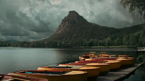
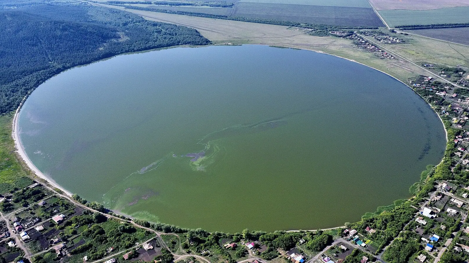
Lake Zerenda
9.61 km², 5.3 × 3.5 km and up to 6.8 m deep. Zerenda village sits on the shore 45 km from Kokshetau, with holiday homes on the south-west side.
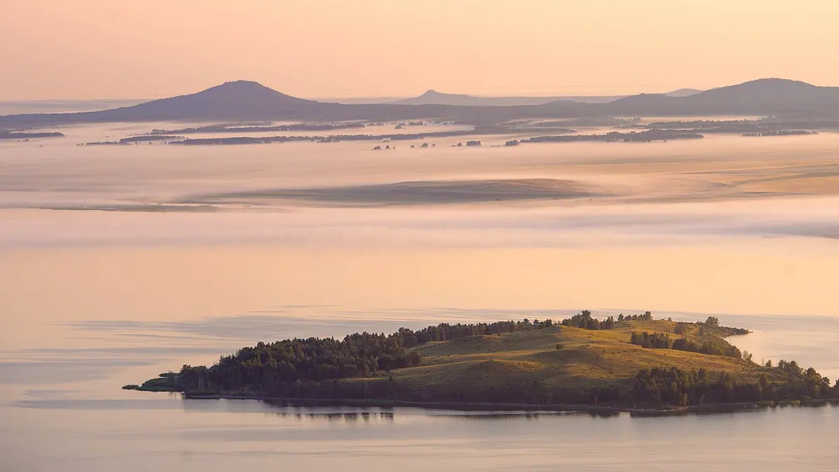
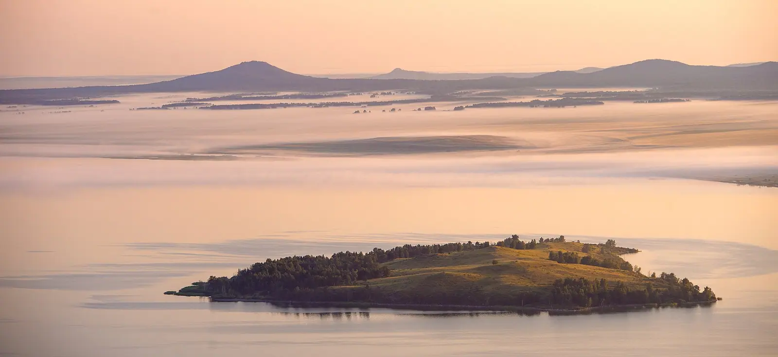
Lake Imantau and its island
A freshwater lake over 13 km long and almost 5 km wide, used for swimming and fishing; an island about 4 km offshore is reached by boat.
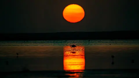
Shalkar salt lake
About 12 × 3 km and up to 15 m deep, with a rocky, pine-covered south shore and a sandy east shore. Walk or taxi from Shalkar village to the gate.
Pine forests below the hills
Dense pine forest at the foot of the hills, with 282 vertebrate species including elk, roe deer, badger, pine marten and squirrel.
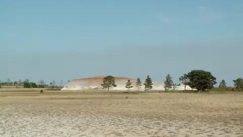
Botai and Akan Seri hill
Park routes take in the Botai settlement, Akan Seri hill, Lake Aiyrtau-Shik, an arboretum and Green Cape, on foot, by bike, on horseback or by boat.
Kokshetau in photos
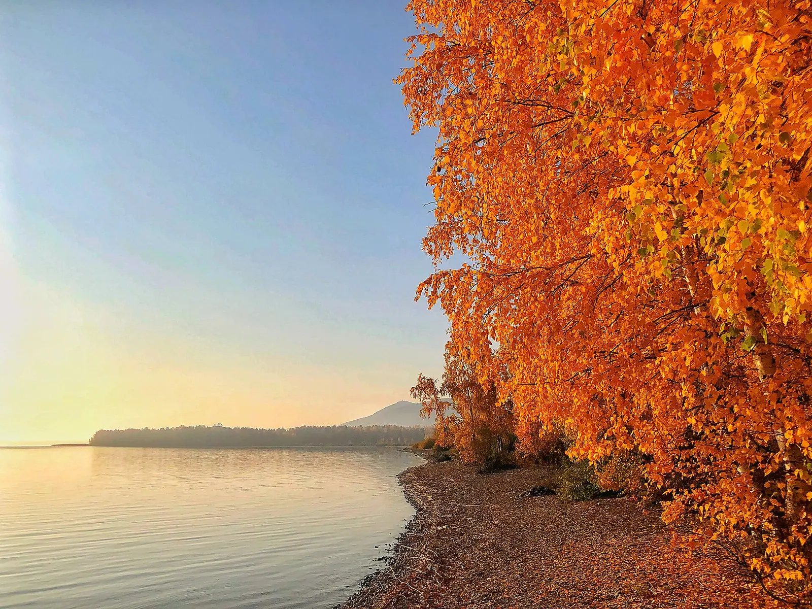
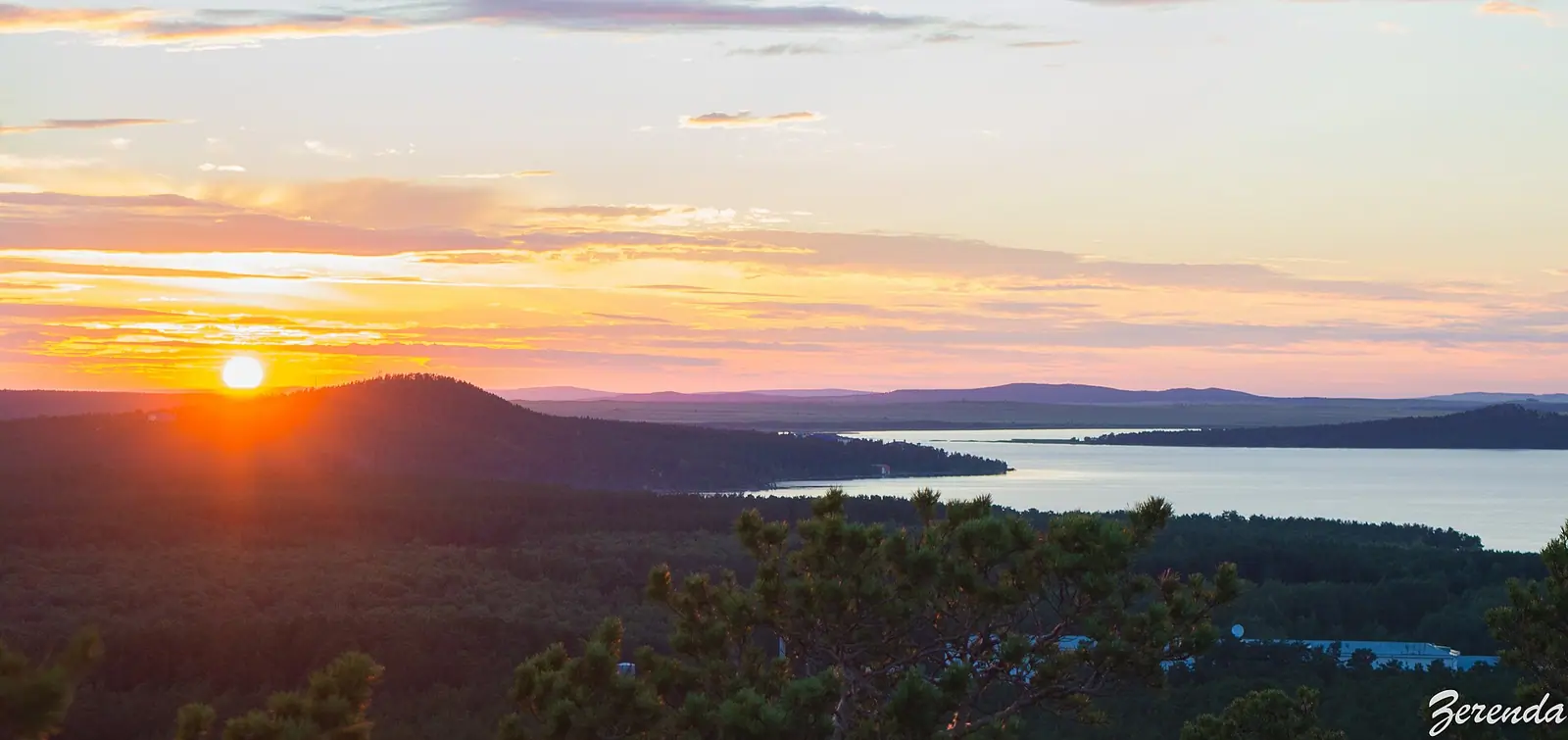
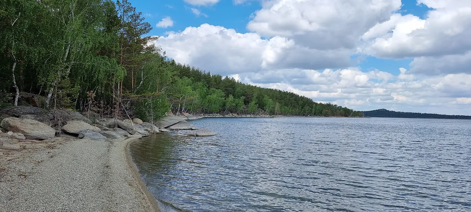
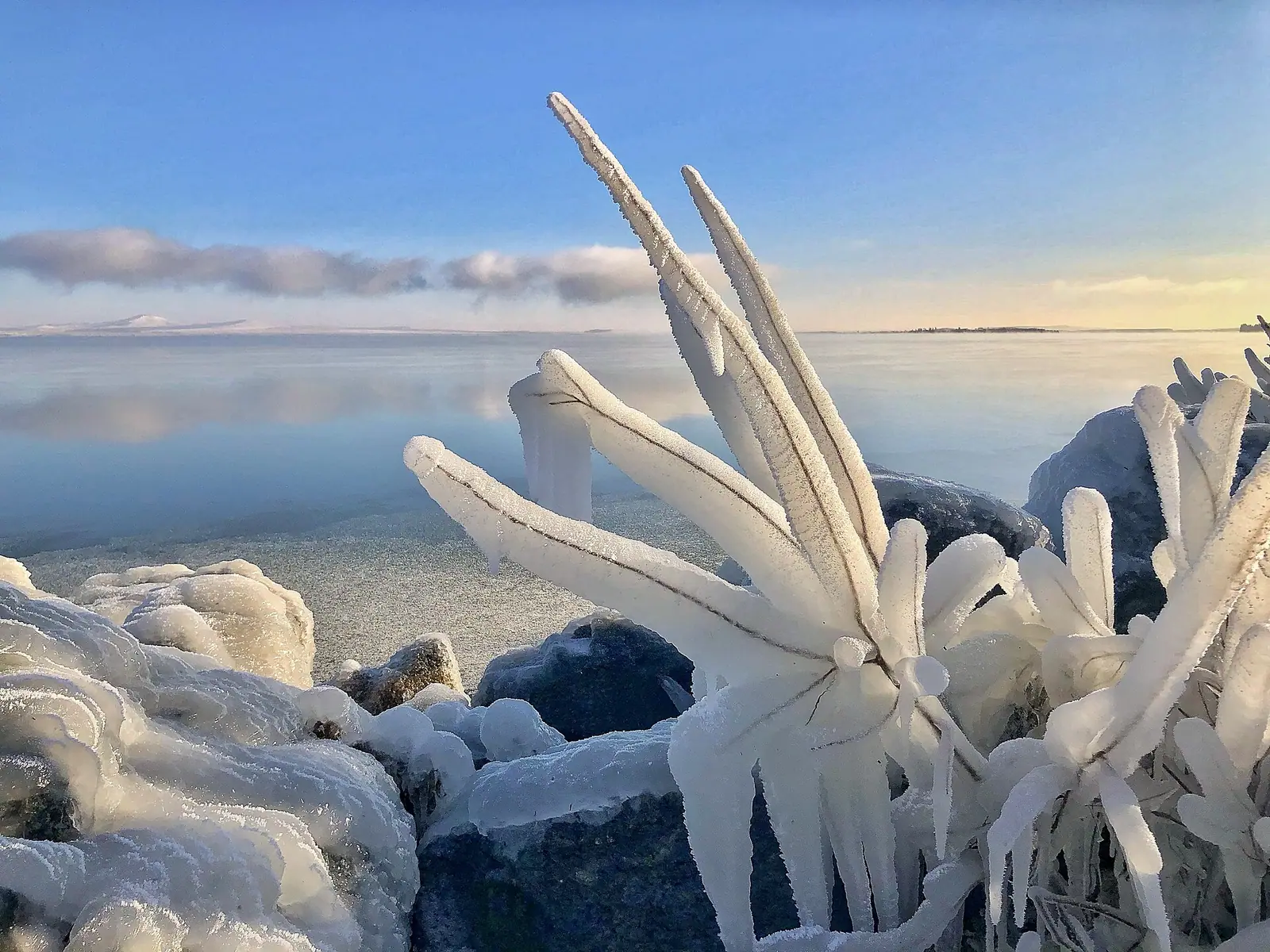
Real photos by travellers (Pexels, Unsplash, Wikimedia Commons); author and licence are given in each caption.
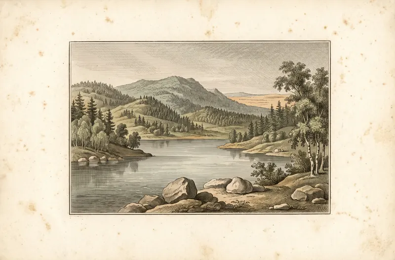
Kokshetau — state national natural park, Akmola and North Kazakhstan Regions.
Key figures
| Area | 182 076 ha |
| Region | Akmola and North Kazakhstan Regions |
Category
State national natural park
A national park is open to visitors: you may stay in the recreation zone after paying the tariff.
Entrance tariff
0.2 MCI per pedestrian, 0.4 MCI per car. In 2026 that is 865 ₸ and 1,730 ₸.
The tariff is set by appendix 10 to Order No. 232 of 2 October 2024.
The tariff is set in MCI units rather than tenge, so the amount changes with each January budget.
What to see
- Zerenda Lake
- Imantau
- pine forests
What Kokshetau National Park is
Kokshetau National Park is pine forest at the foot of rolling hills, plus a string of lakes, where Akmola and North Kazakhstan regions meet, about 60 km south-west of the city of Kokshetau. The headline spots are the lakes Zerenda, Imantau and Shalkar. The park is open to visitors: you can spend time in the recreation zone after paying the fee, and the branches maintain trails and routes, with guides paid separately.
The park was created on 10 April 1996 by Government Resolution No. 415 and covers Zerenda and Aiyrtau districts. The Imantau-Shalkar resort area lies inside it.
The three main lakes
| Lake | What we know |
|---|---|
| Zerenda | 9.61 km², 5.3 × 3.5 km, up to 6.8 m deep, 371 m above sea level |
| Imantau | fresh water, over 13 km long, almost 5 km wide, just over 10 m deep |
| Shalkar | salt water, about 12 × 3 km, up to 15 m deep |
Zerenda from Russian Wikipedia; Imantau and Shalkar from Tengrinews (2021).
Zerenda village sits on its lake 45 km south-west of Kokshetau, with holiday homes on the south-western shore. Imantau is used for swimming and fishing, and an island about 4 km offshore is reached by boat. Shalkar has a rocky, pine-covered south shore and a sandy east shore.
Nature
Dense pine forest grows at the foot of the hills, with grass in the clearings and river valleys. Wikipedia counts 282 vertebrate species: 47 mammals, 216 birds, 7 reptiles and 12 fish. Typical animals are elk, roe deer, badger, fox, wolf, pine marten and squirrel. The park has 13 nature monuments of national importance, including the island in Lake Imantau.
The climate is sharply continental: January ranges from −5 to −35 °C, July from +3 to +27 °C.
Trails and branches
Tengrinews reported in July 2021, citing the park’s tourism department, that there were 14 trails (walking, cycling and riding) and 5 routes:
- Aiyrtau branch: 2 combined routes, on foot and by car;
- Arykbalyk branch: 4 trails and 2 routes;
- Shalkar branch: 5 trails and 1 route.
Sights along the way include Lake Aiyrtau-Shik, Akan Seri hill, the Botai settlement, an arboretum and Green Cape. You can cover them on foot, by bike, on horseback or by boat. Guides are paid separately.
Getting there
The nearest railway station is Kokshetau. According to Tengrinews, the drive to the park on the R-231 takes about 1.5 hours. Regular buses go to Imantau and Shalkar villages: from Imantau the holiday bases are about 300 m away, and from Shalkar you take a taxi or walk to the park checkpoint.
Entry and rules
Kokshetau is a national park and entry is paid. The fee is set in fractions of the MCI (in the card above), and the fee calculator gives the current amount; what the MCI is and why prices change every January is explained separately. For the difference between a park and a zapovednik, see zapovednik, park, rezervat: where you will be let in. Another large park in the north of the country is Burabay.
Kokshetau: when to go, month by month
- January: possible
- February: possible
- March: possible
- April: possible
- May: possible
- June: good
- July: good
- August: good
- September: possible
- October: possible
- November: possible
- December: possible
The climate is sharply continental: −5 to −35 °C in January, +3 to +27 °C in July. People swim and fish at Imantau.
Kokshetau: tips before you go
- The nearest railway station is Kokshetau; from there it is about 1.5 hours by car on the R-231.
- Regular buses run to Imantau and Shalkar villages; in Imantau the holiday bases are about 300 m from the stop.
- A guide is paid for separately from the entry fee, so arrange one with the park branch.
- The trail list dates from 2021, so check route lengths and difficulty with the park branches.
More to see nearby