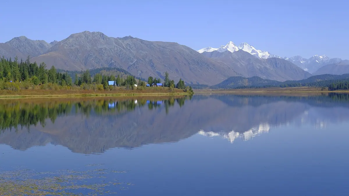
Verified: 2026-09
Katon-Karagay: why go
Rakhmanov Springs
Radon-bearing thermal springs at 34–41 °C, around 1,760 m up on the right bank of the Arasan river, just below Rakhmanovskoye Lake.
Views of Belukha, 4,506 m
The highest point of the park and of the whole Altai sits on the Russian border; from the Kazakh side you see its southern face.
Kokkol and Arasan waterfalls
Arasan, also called the Batyr's Moustache, pours out of Rakhmanovskoye Lake; Kokkol is the other classic, near Lakes Yazevoe and Maralye.
The Old Austrian Road
A historic pass route of almost 60 km over the Sarymsakty and Tarbagatai ridges, linking Katon-Karagay and Kurchum districts.
Altai nature in numbers
Forest covers 34% of the park, with over 1,000 vascular plant species (30 in the Red Book) and 363 vertebrate species, 284 of them birds.
UNESCO biosphere reserve
A UNESCO biosphere reserve since 2014 and, since 2017, part of the transboundary Big Altai reserve together with Russia's Katunsky reserve.
Katon-Karagay in photos
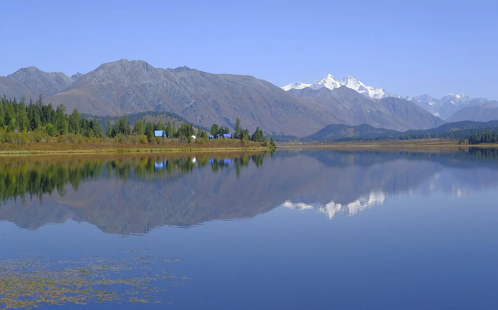
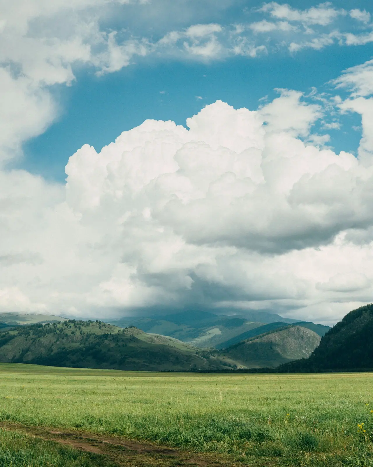
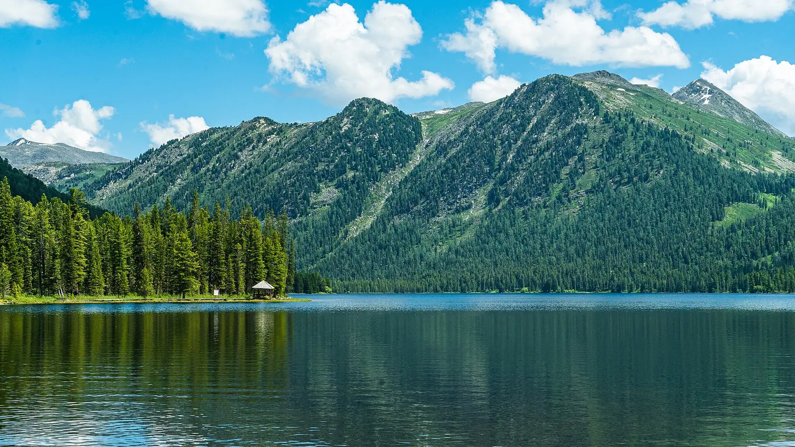
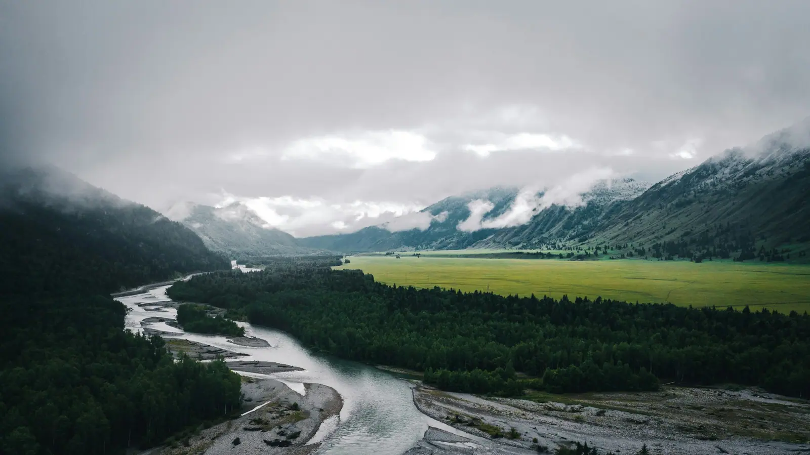
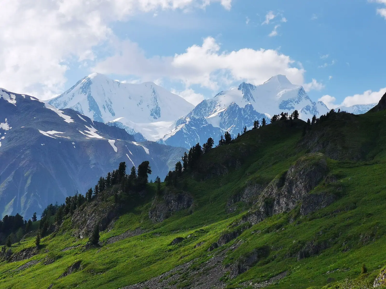
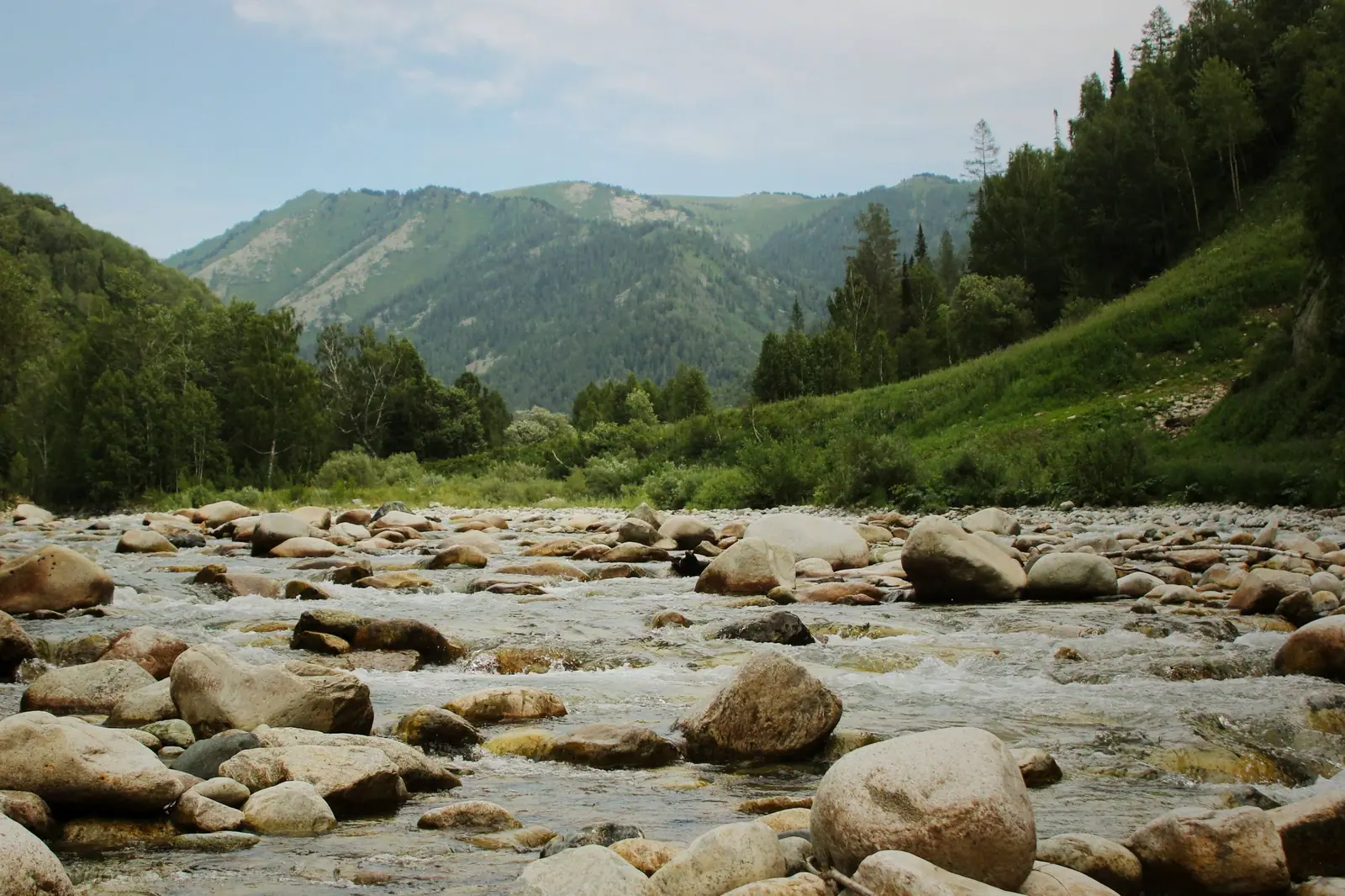
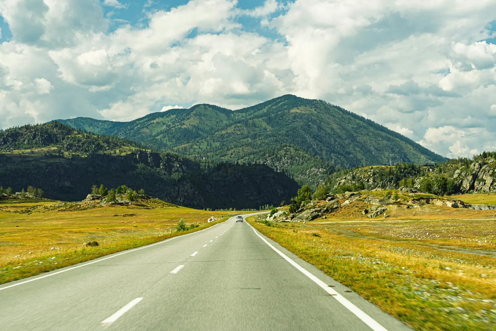
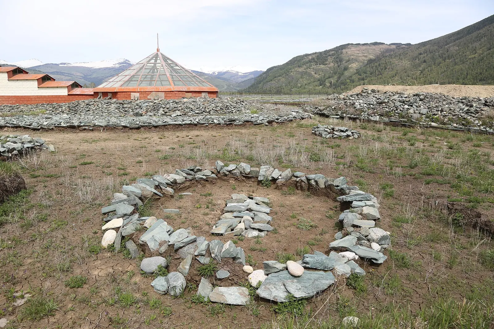
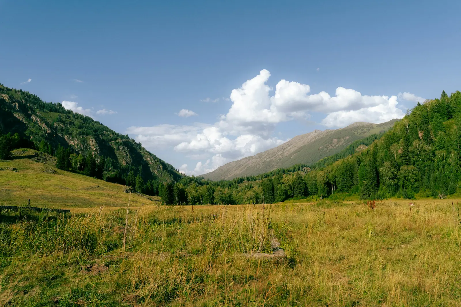
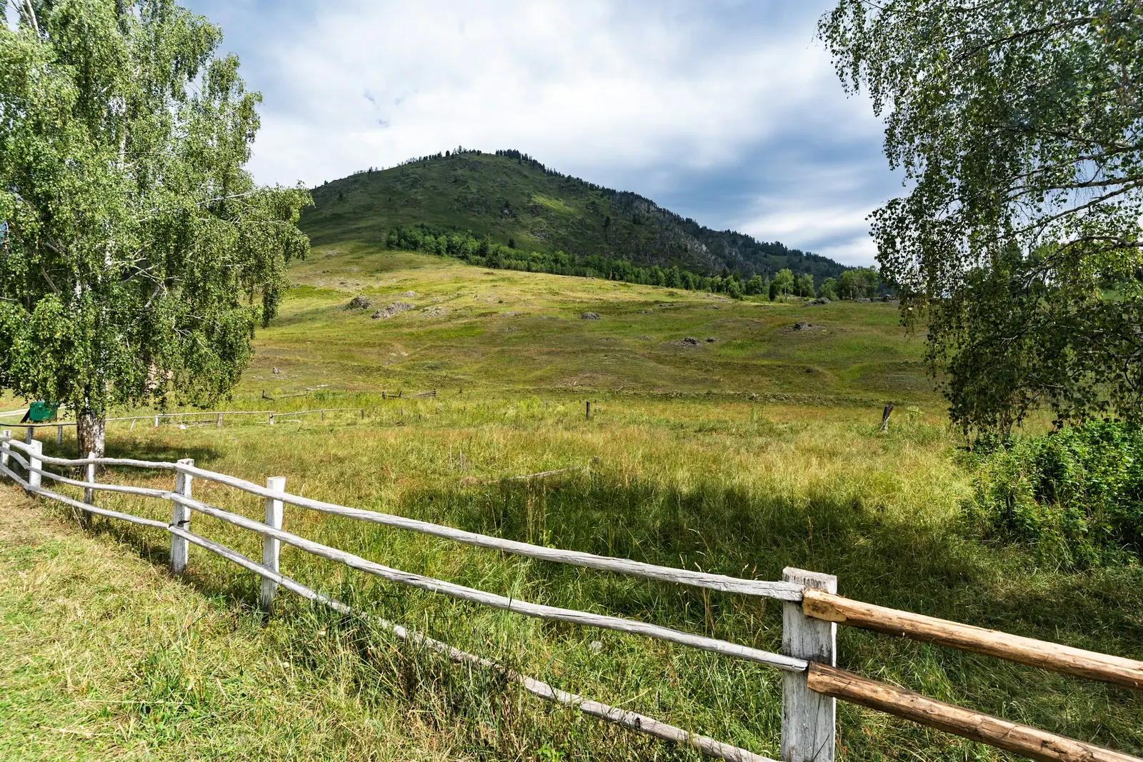
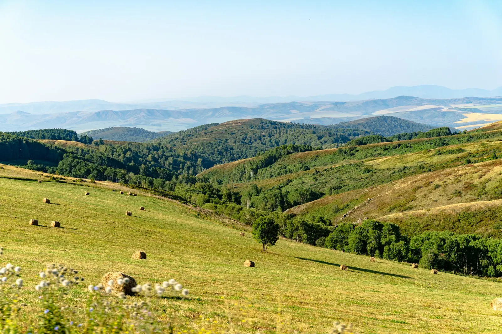
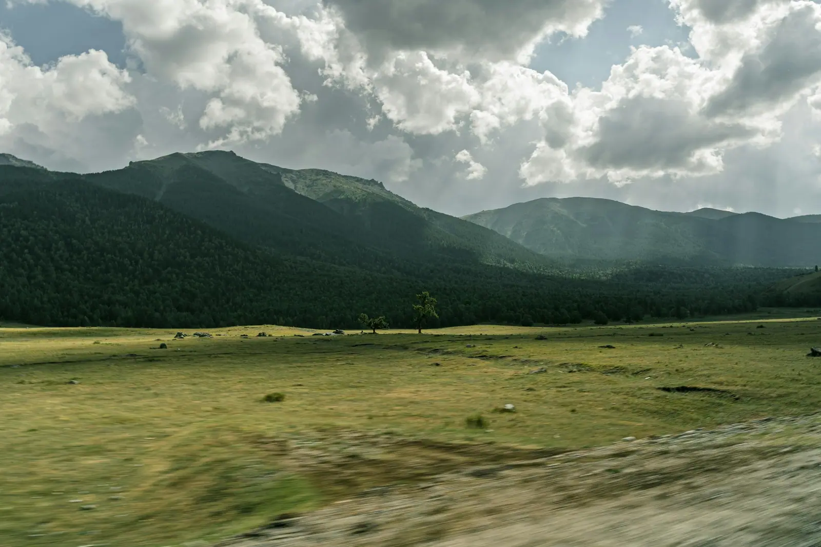
Real photos by travellers (Pexels, Unsplash, Wikimedia Commons); author and licence are given in each caption.
Katon-Karagay State National Natural Park — East Kazakhstan Region. Established on 17 July 2001.
The largest national park in Kazakhstan.
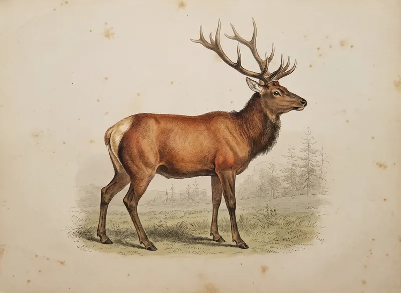
Key figures
| Official name | Katon-Karagay State National Natural Park |
| Area | 643 477 ha |
| Region | East Kazakhstan Region |
| Established | 17 July 2001 |
Entrance tariff
0.2 MCI per pedestrian, 0.4 MCI per car. In 2026 that is 865 ₸ and 1,730 ₸.
The tariff is set by appendix 13 to Order No. 232 of 2 October 2024.
The tariff is set in MCI units rather than tenge, so the amount changes with each January budget.
What to see
- Altai mountains
- Bukhtarma river
- Rakhmanov springs
Katon-Karagay in one minute
Katon-Karagay is Kazakhstan’s largest national park, covering the Central and Southern Altai in East Kazakhstan Region, in a district bordering both Russia and China. Visitors come for the hot springs at Rakhmanov Springs (Rakhmanovskie Klyuchi), views of Belukha (4,506 m) and the Kokkol and Arasan waterfalls. The drive from Ust-Kamenogorsk to Katon-Karagay village is about 380 km, roughly five hours. The whole district is a border area, so sort out the border rules before you set off.
What to see
Belukha, at 4,506 m, is the park’s highest point and the summit of the Altai, sitting on the Russian border. From the Kazakh side you see its southern face.
Rakhmanov Springs are radon-bearing thermal springs said to have been found in the 18th century by a peasant named Rakhmanov. According to Ruwiki, they emerge on the right bank of the Arasan river, about 80 m below Rakhmanovskoye Lake, at around 1,760 m, with water at 34–41 °C. The river leaving the lake forms the Arasan waterfall, also known as “the Batyr’s Moustache”.
Kokkol waterfall is the other classic. Nearby are lakes Yazevoe, Maralye, Chernovskoe and Ushkol, the cascade on the Black Berel river and Mount Koronnaya, all named individually in the border-zone decree.
The Old Austrian Road is a historic route of almost 60 km over the Sarymsakty and Tarbagatai ridges, linking Katon-Karagay and Kurchum districts.
Scale and nature
| Indicator | Figure | Source |
|---|---|---|
| Belukha | 4,506 m | Wikipedia, NewTimes.kz |
| Strict protection zone | 24% (1,512 km²) | English Wikipedia |
| Other zones (recreation, research, limited use) | 76% (4,922 km²) | English Wikipedia |
| Forest cover | 34% of the territory | Wikipedia |
| Vascular plants | over 1,000 species, 30 in the Red Book | Wikipedia |
| Vertebrates | 363 species, including 284 birds and 65 mammals | Wikipedia |
| Ust-Kamenogorsk to Katon-Karagay village | about 380 km, about 5 hours | Aviasales, 2026 |
The park became a UNESCO biosphere reserve in 2014 and since 2017 has been part of the transboundary “Big Altai” reserve together with Russia’s Katunsky reserve. See how it ranks in our list of Kazakhstan’s largest protected areas.
Border zone: what the documents say
Katon-Karagay district borders Russia and China, and advice about permits online is contradictory. Here is what the primary sources say.
The State Border Law (Article 40): both Kazakh citizens and foreigners enter the border zone on an identity document. Article 24 is stricter: entry to the border strip, the narrow band along the border line itself, requires permission and a special pass from the KNB Border Service.
Decree No. 356 additionally lists sites in Katon-Karagay district where the regime of entry for foreigners on Interior Ministry passes is waived:
| Site | Depth of the section |
|---|---|
| Bolshoe Rakhmanovskoye Lake | 9 km from the Chinese border, 20 km from the Russian border |
| National park forest cordon | 5 km from the Russian border |
| Lake Yazevoe | 2.5 km |
| Kokkol waterfall | 5 km |
| Waterfall cascade on the Black Berel | 9 km |
| Arasan waterfall | 22 km |
| Lake Maralye | 5 km |
| Ushkol / Chernovskoe lakes | 8 km |
| Sarymsakty and Tarbagatai ridges (Old Austrian Road) | 10 km |
The takeaway: the popular sites can lawfully be visited with a passport, while routes heading to the border line itself, such as Belukha’s glaciers or high passes, may enter the border strip, where a KNB pass is needed. More on our page about border zone permits.
Planning the route
Katon-Karagay is not a weekend trip: the drive from Ust-Kamenogorsk to the village alone takes about five hours. A sensible structure:
- A travel day to Katon-Karagay village via the town of Altai.
- Out-and-back trips to the Kokkol and Arasan waterfalls and to Lakes Yazevoe and Maralye, one direction per day.
- Rakhmanov Springs as a separate day or overnight: the access road is mountainous and the resort’s facilities are in transition.
- A spare day for weather and road restrictions: sections of the highway are under repair, and mountain weather turns quickly.
A trek to Belukha’s glaciers is an expedition rather than a walk: it needs preparation, proper gear and a check of the border regime for each point on your route.
The road to Rakhmanov Springs
The Rakhmanov Springs sanatorium was returned to the state in August 2024 after court proceedings. In November 2025 the regional governor said its future use would be decided later, that the 13 km access road had been repaired and that it would be asphalted by the next season. In summer 2026 the Aviasales guide still described that stretch as hard going for an ordinary car.
In practice: plan for a 4x4 and check what is actually operating on site, as the resort’s facilities are in transition.
When to go and practical notes
| Season | What to expect |
|---|---|
| May–June | flowering meadows, full rivers and waterfalls |
| July–August | best time for long hikes |
| September | autumn colour, mild days, cold nights under canvas |
| October–April | winter season for experienced visitors |
Seasons as described by the Aviasales guide (2026).
- Mobile coverage is stable in villages but can vanish in the mountains; carry SIM cards from different operators.
- The park fee is shown on the card above; the park fee calculator converts it into tenge.
- Nearby is the Markakol reserve, also in the border area.
- Before you go, run through the pre-trip checklist.
Katon-Karagay: when to go, month by month
- January: possible
- February: possible
- March: possible
- April: possible
- May: good
- June: good
- July: best time
- August: best time
- September: good
- October: possible
- November: possible
- December: possible
May–June brings meadows in flower and full waterfalls, July–August long hikes, September cold nights; October to April is for experienced visitors.
Katon-Karagay: tips before you go
- Allow a full day for the drive from Ust-Kamenogorsk: about 380 km and five hours, with roadworks on parts of it.
- Take a 4x4 to Rakhmanov Springs: in summer 2026 the last 13 km were still hard going for an ordinary car.
- Carry your passport or ID: popular sites in the border zone need only that, but the border strip itself needs a KNB pass.
- Mobile signal can vanish completely in the mountains, so bring SIM cards from different operators.
- Keep a spare day for weather and roadworks: conditions in the mountains change fast.
More to see nearby


Frequently asked questions
How long does it take to get to Katon-Karagay from Ust-Kamenogorsk?
Do I need a border zone permit for Katon-Karagay?
Can an ordinary car reach Rakhmanov Springs?
Can you see Belukha from Katon-Karagay National Park?
When is the best time to visit Katon-Karagay?
Is there mobile coverage in Katon-Karagay?
Sources
- Katon-Karagay National Park — Wikipedia
- Katon-Karagay National Park — Wikipedia (Russian)
- Government Decree No. 356 of 16.04.2014 — border zone and list of exemptions (Adilet)
- Law No. 70-V of 16.01.2013 on the State Border of Kazakhstan (Adilet)
- Mount Belukha, waterfalls and Rakhmanov Springs — NewTimes.kz, 2024
- When will Rakhmanov Springs reopen — Zakon.kz, 2025
- Katon-Karagay on your own — Aviasales Demalys, 2026
- Rakhmanov Springs — Ruwiki