Verified: 2026-09
Karkaraly: why go
Shaitankol, the Devil's Lake
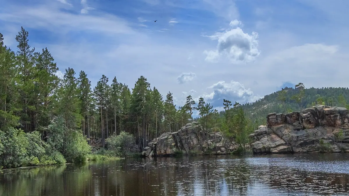
About 60 × 40 m at roughly 1,200 m, 5 km west of Karkaralinsk, ringed by layered granite and pines. The trail to it is the park's most famous.
Lakes Samal and Basseyn
Other lakes in the Karkaraly mountains include Samal (Pashennoye), Basseyn, Ulkenkol, Kishikol and Shurykkol; Samal is earmarked for future eco-hotels.
Komsomolsky peak, 1,403 m
The highest point of the Karkaraly mountains, also known as Mount Zhirensakal. Karkaralinsk town sits at the eastern foot, at about 815 m.
Kyzylkent palace ruins
The Kent mountains hold the ruins of a 17th-century Buddhist monastery and a Final Bronze Age settlement large enough to count as a proto-town.
Pine forest and maral
Pine, birch, aspen and juniper, with 66 rare plant species including the Karkaraly barberry. Wolf, lynx, elk, wild boar and maral live here.
Karkaraly in photos
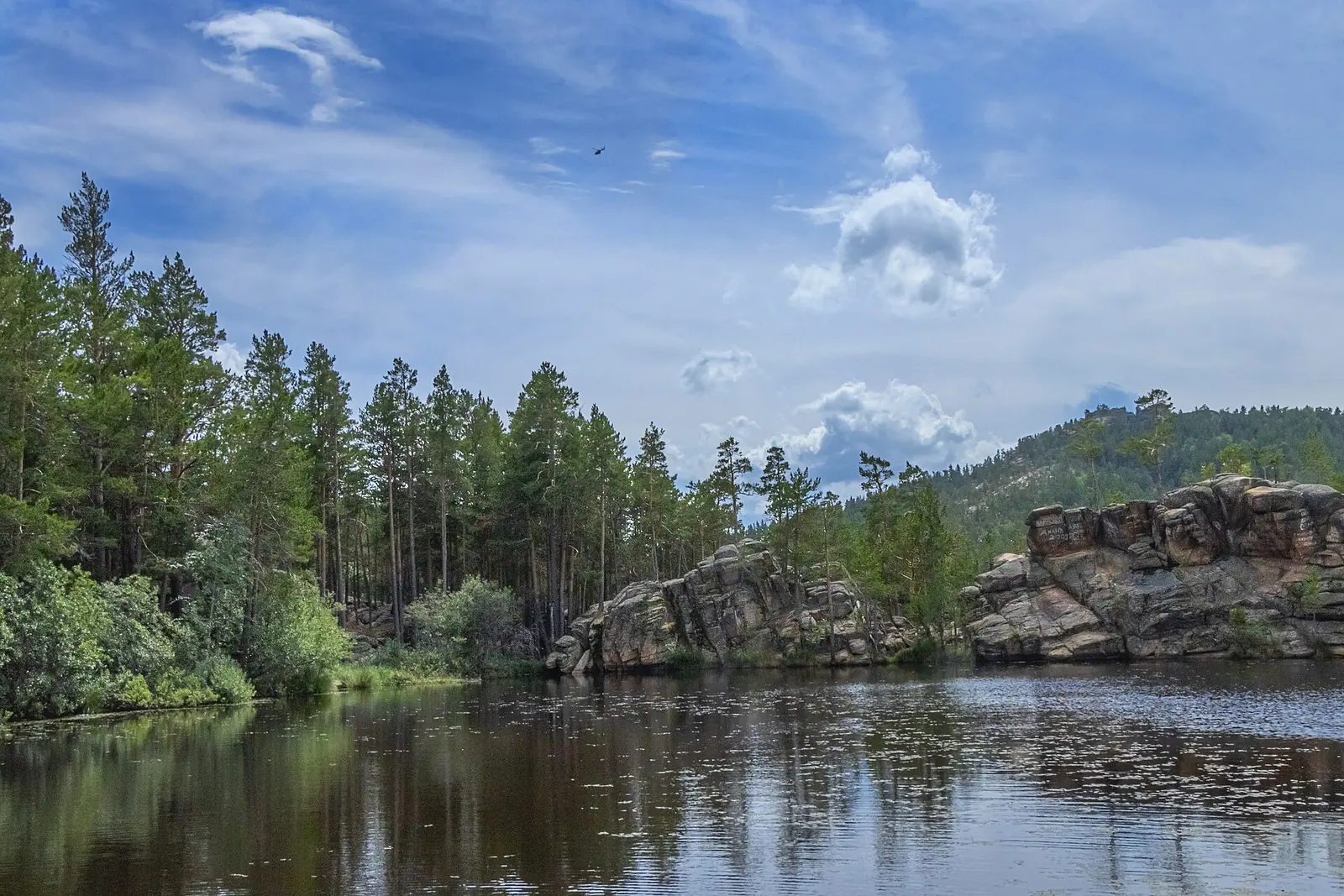
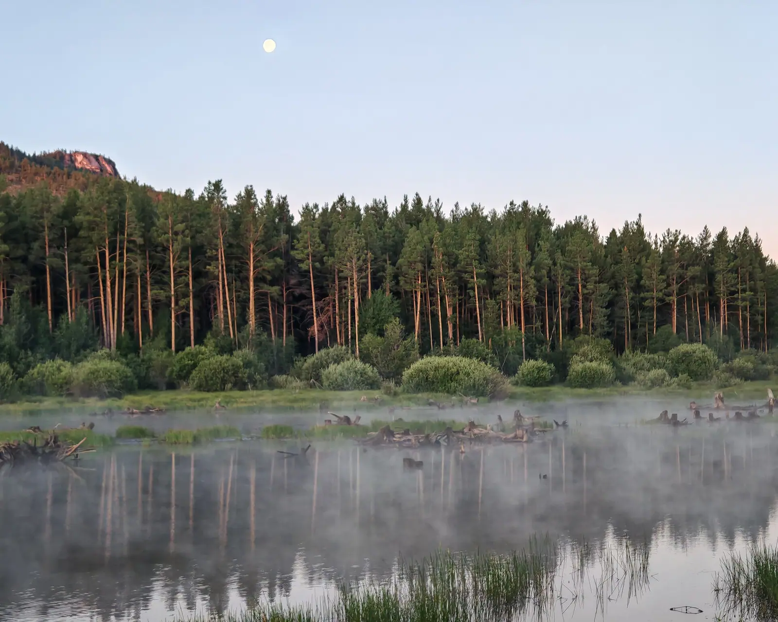
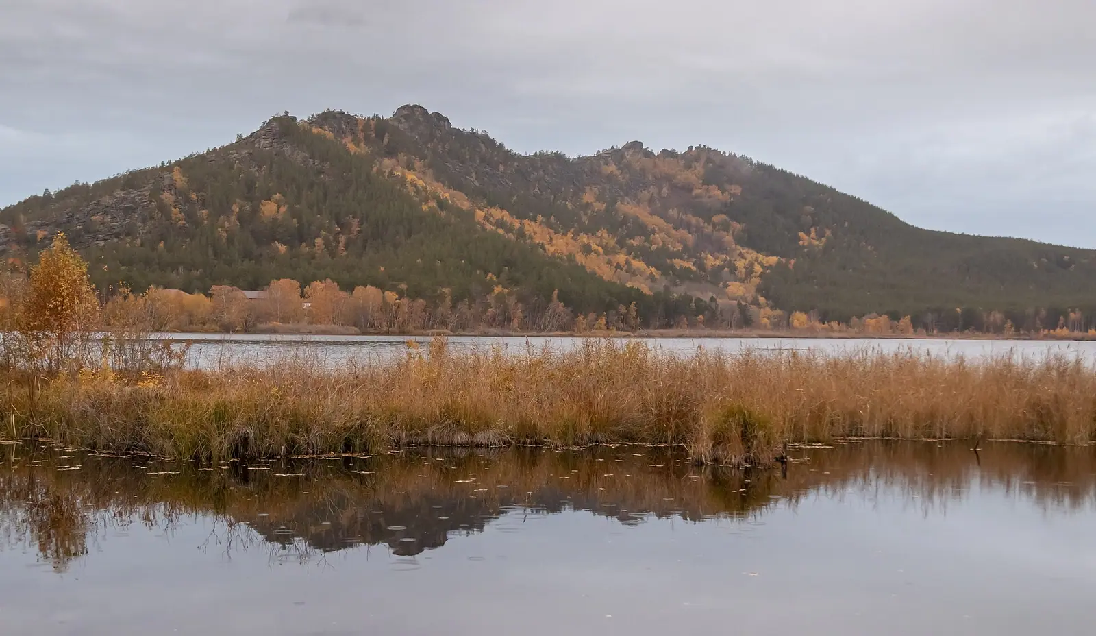
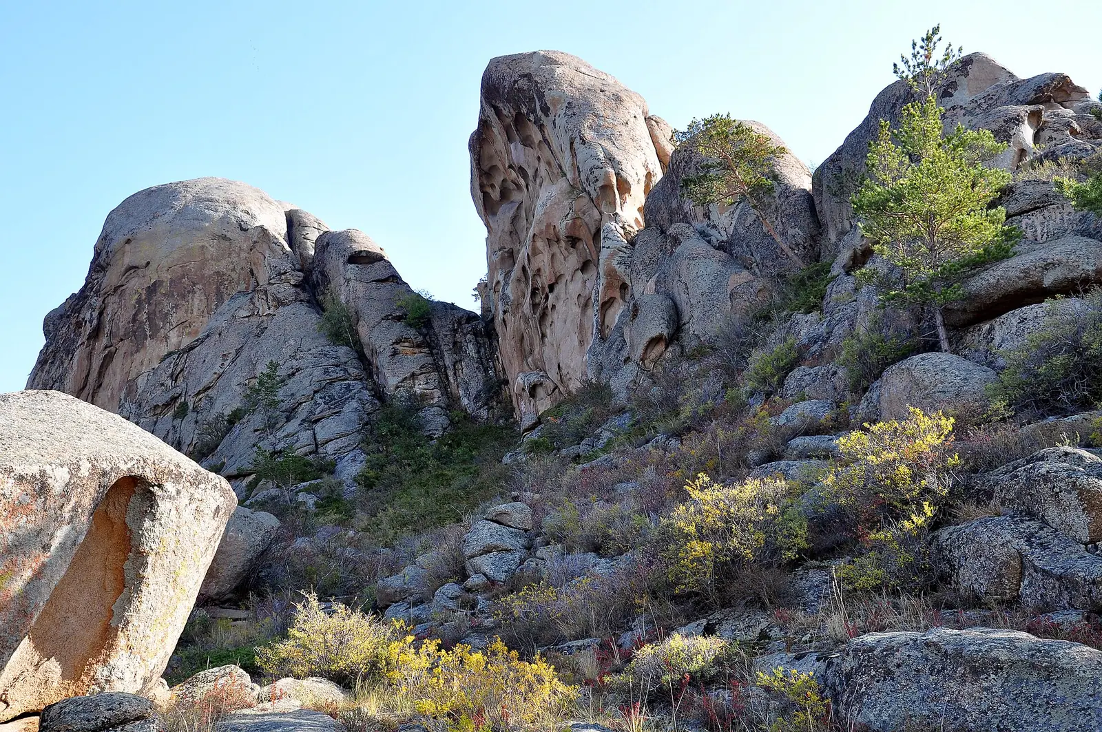
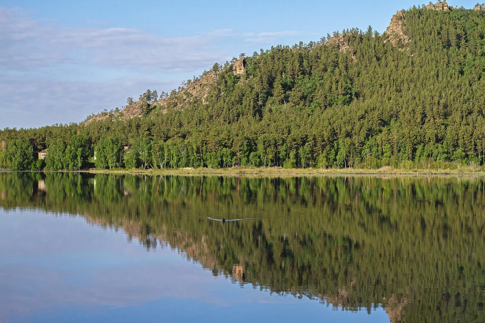
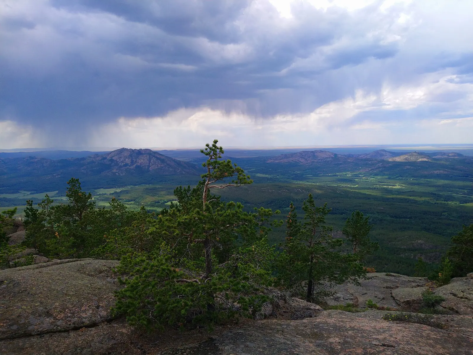
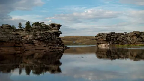
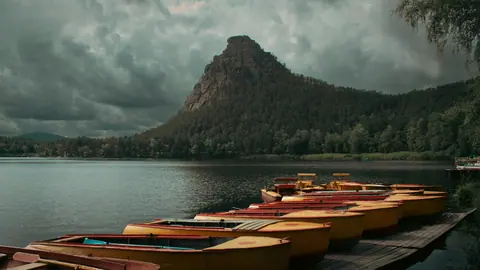
Real photos by travellers (Pexels, Unsplash, Wikimedia Commons); author and licence are given in each caption.
Karkaraly State National Natural Park — Karaganda Region. Established on 1 December 1998.
Key figures
| Official name | Karkaraly State National Natural Park |
| Area | 112 120 ha |
| Region | Karaganda Region |
| Established | 1 December 1998 |
Entrance tariff
0.2 MCI per pedestrian, 0.5 MCI per car. In 2026 that is 865 ₸ and 2,162.5 ₸.
The tariff is set by appendix 9 to Order No. 232 of 2 October 2024.
The tariff is set in MCI units rather than tenge, so the amount changes with each January budget.
What to see
- pine forests
- Shaitankol Lake
- rock formations
What Karkaraly is
Karkaraly National Park is a cluster of mountains with patches of pine forest and small lakes around the town of Karkaralinsk, about 220 km south-east of Karaganda. Its best-known trail leads to Shaitankol lake. You may visit the park’s recreation zone on payment of the fee, and the warm season is the easiest time to go.
The park was created on 1 December 1998 by Government Resolution No. 212 and was enlarged in 2009. Karkaralinsk lies at the eastern foot of the mountains at around 815 m.
Mountains and lakes
| Feature | Fact |
|---|---|
| Komsomolsky peak (Mt Zhirensakal) | 1,403 m, highest point of the Karkaraly mountains |
| Shaitankol lake | about 1,200 m, 5 km west of Karkaralinsk |
| Size of Shaitankol | about 60 × 40 m, fed by snowmelt |
| Other lakes | Samal (Pashennoye), Basseyn, Ulkenkol, Kishikol, Shurykkol |
Figures from Russian Wikipedia.
Shaitankol is ringed by layered granite cliffs and pine forest. Local memory has it that in 1905 Archbishop Mikhail set up a cross on the shore and renamed the lake Holy Lake; the cross later vanished and the old name, Devil’s Lake, came back.
Nature
The main forest trees are pine, birch, aspen, willow and juniper. According to Wikipedia the park holds Ice Age relict plants and 66 rare or endangered plant species, including the Karkaraly barberry. Fauna includes about 234 bird species and 46 mammals, among them wolf, lynx, elk, wild boar and maral.
The climate is milder than the surrounding steppe: July averages +18 to +20 °C and January −12 to −15 °C.
History: the Kent mountains and Kyzylkent
The Kent mountains, described as part of the park, hold several archaeological sites:
- the Kent settlement from the Final Bronze Age (Begazy-Dandybay culture), large enough to be considered a proto-town;
- the ruins of Kyzylkent palace, a 17th-century Buddhist monastery;
- the Taldy II burial ground at the foot of the Kent mountains, which yielded many gold objects.
Trails and facilities
In February 2026 park director Ruslan Tulepbaev described the trail to Shaitankol as the park’s best-known hiking route (Inbusiness.kz). Part of the park is formally zoned for tourism and recreation. Investors already hold four long-term plots (up to 25 years) and eight short-term plots (up to 5 years); sites named for future eco-hotels include Lake Samal and the Zhauyrtogai and Komissarovka areas.
Entry and rules
Karkaraly is a national park: you can stay in the recreation zone once you have paid the fee (MCI fractions in the card above, current amount in the fee calculator). How a park differs from a zapovednik is explained in zapovednik, park, rezervat: where you will be let in. Before you go, run through what to check before visiting a national park. For comparison, see the card for another park of hills and lakes, Bayanaul.
Karkaraly: when to go, month by month
- January: possible
- February: possible
- March: possible
- April: possible
- May: good
- June: best time
- July: best time
- August: best time
- September: good
- October: possible
- November: possible
- December: possible
The warm season suits hiking. The climate is milder than the surrounding steppe: July averages +18…+20 °C, January −12…−15 °C.
Karkaraly: tips before you go
- Trails start on the edge of Karkaralinsk, so the town makes a natural base.
- Ask the park office in Karkaralinsk about trail lengths, difficulty and swimming rules for lakes such as Basseyn.
- The recreation zone charges an entry fee: 0.2 MCI per pedestrian and 0.5 MCI per car.
- Winter averages −12…−15 °C here, so choose the warm season for hiking.
More to see nearby