Verified: 2026-10
Kaindy Lake: why go
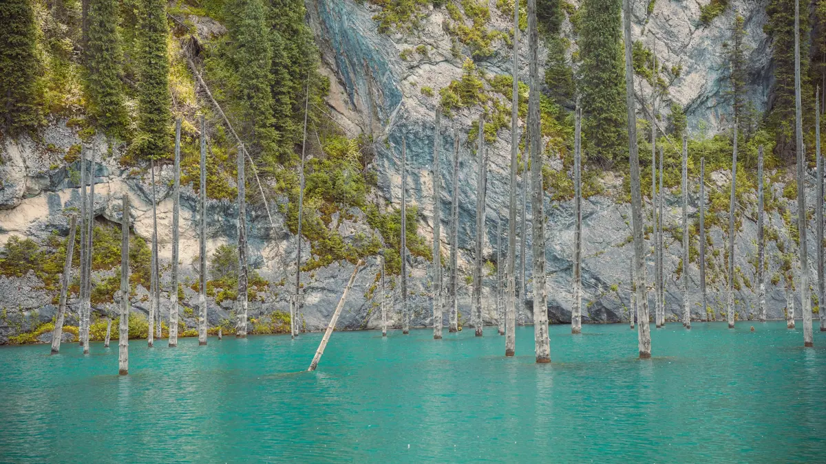
Kaindy's drowned spruce forest
Tian Shan spruce trunks have stood in turquoise water for over a century: tops poke above the surface, branches show through the clear water.
Born of the 1911 earthquake
The Kebin earthquake, about magnitude 8.0, sent limestone crashing into the gorge; the dammed river flooded the spruce forest on the slope.
Kaindy's ice-cold water
Summer air at the lake reaches about +23 °C, yet the water stays near +6 °C. Nobody swims, and diving is for certified divers only.
Kaindy's altitude: 1,667–2,000 m
Sources disagree, from 1,667 m to 2,000 m. Either way the lake sits below middle Kolsai, so altitude sickness is not a real concern.
To the shore on foot or horseback
Cars stop at the lower parking area with yurts; from there it is about 1.5 km through the forest, around 20 minutes, or hire a horse.
Kaindy, Kolsai and Charyn
With 5–7 hours on the road each way, Kaindy is usually combined with the Kolsai Lakes and Charyn Canyon into a two- or three-day loop.
Kaindy Lake in photos
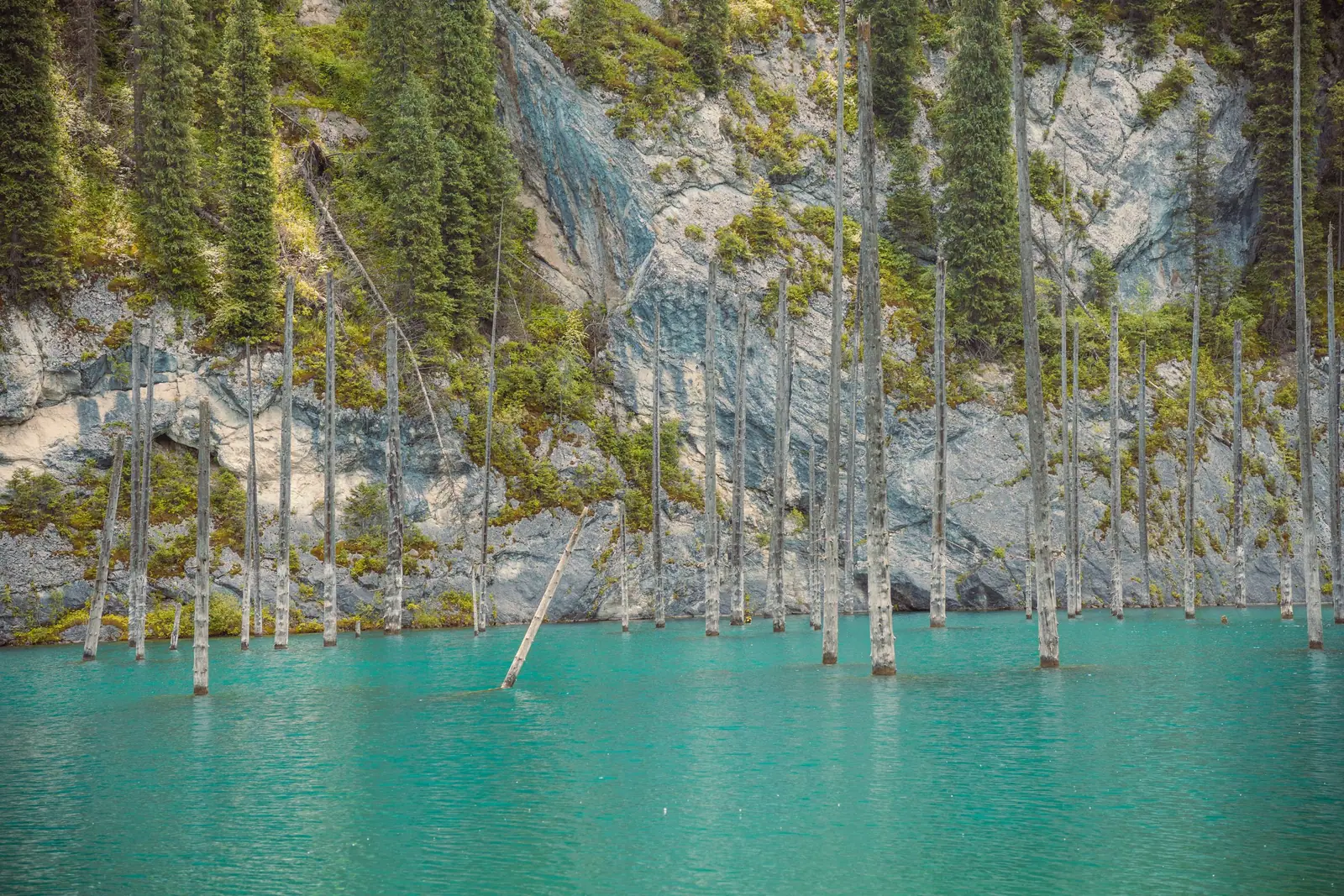
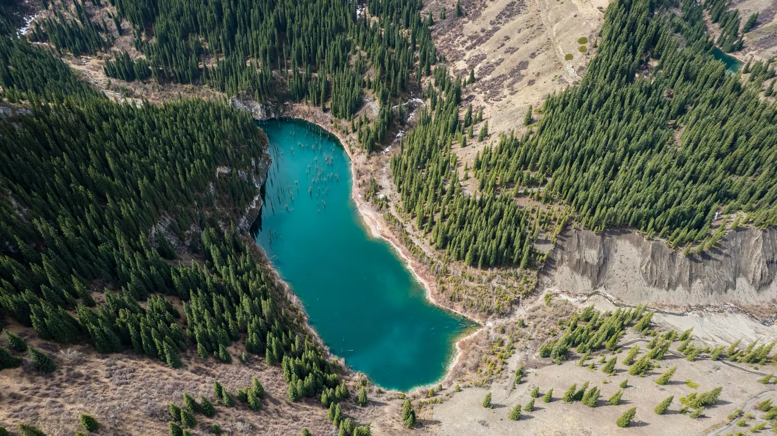
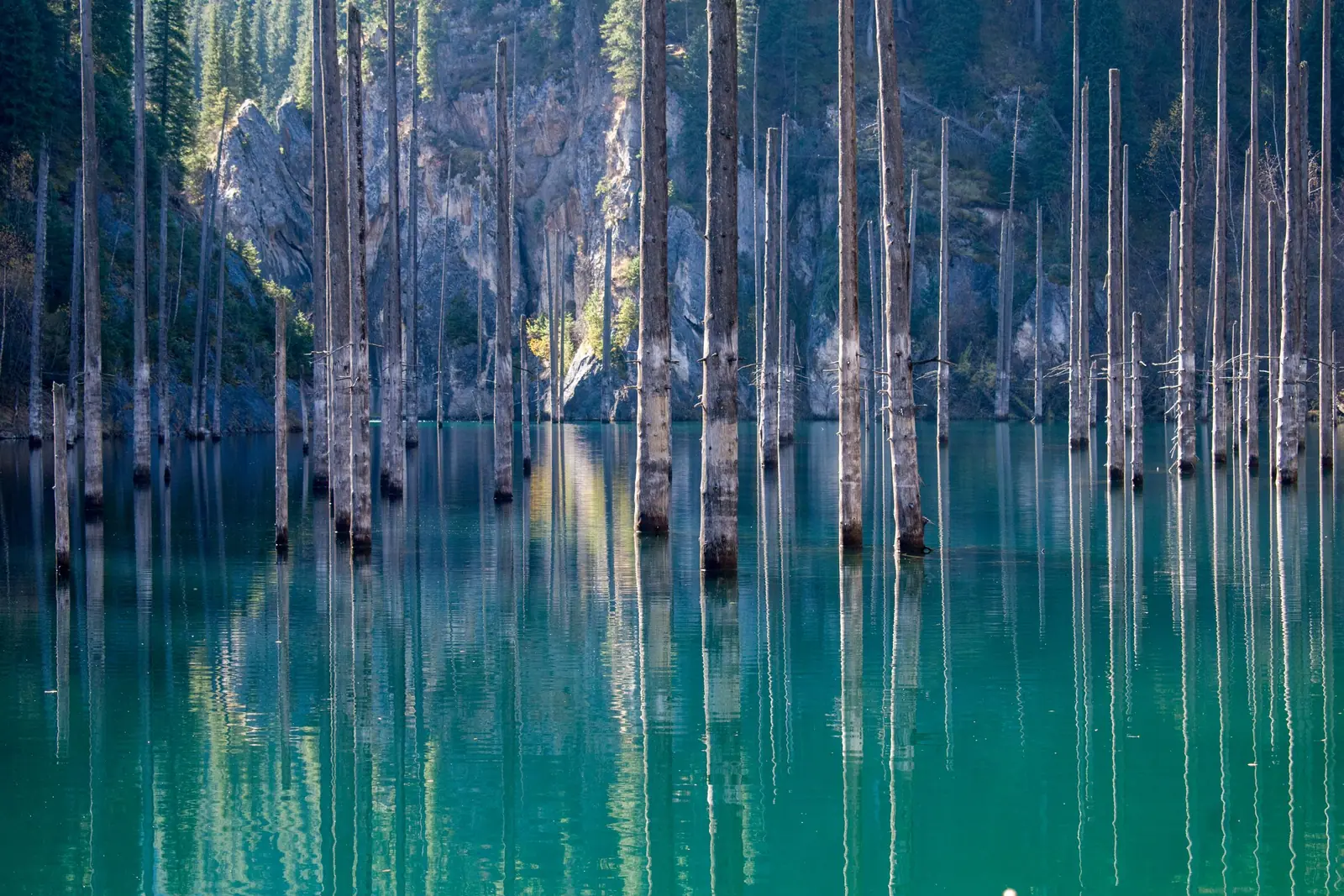
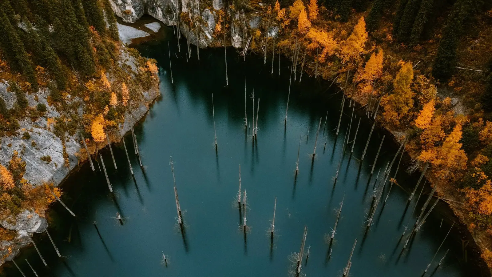
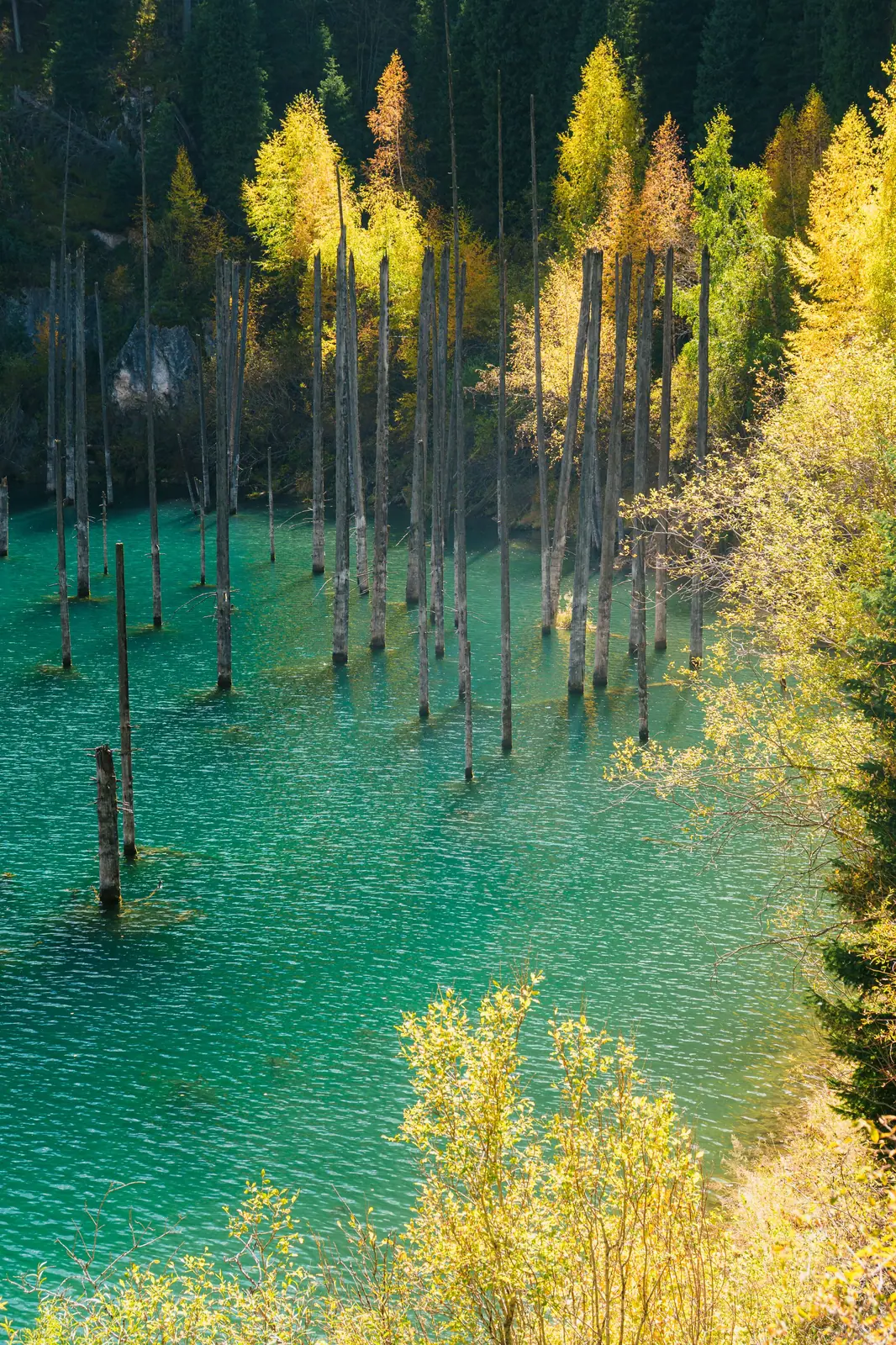
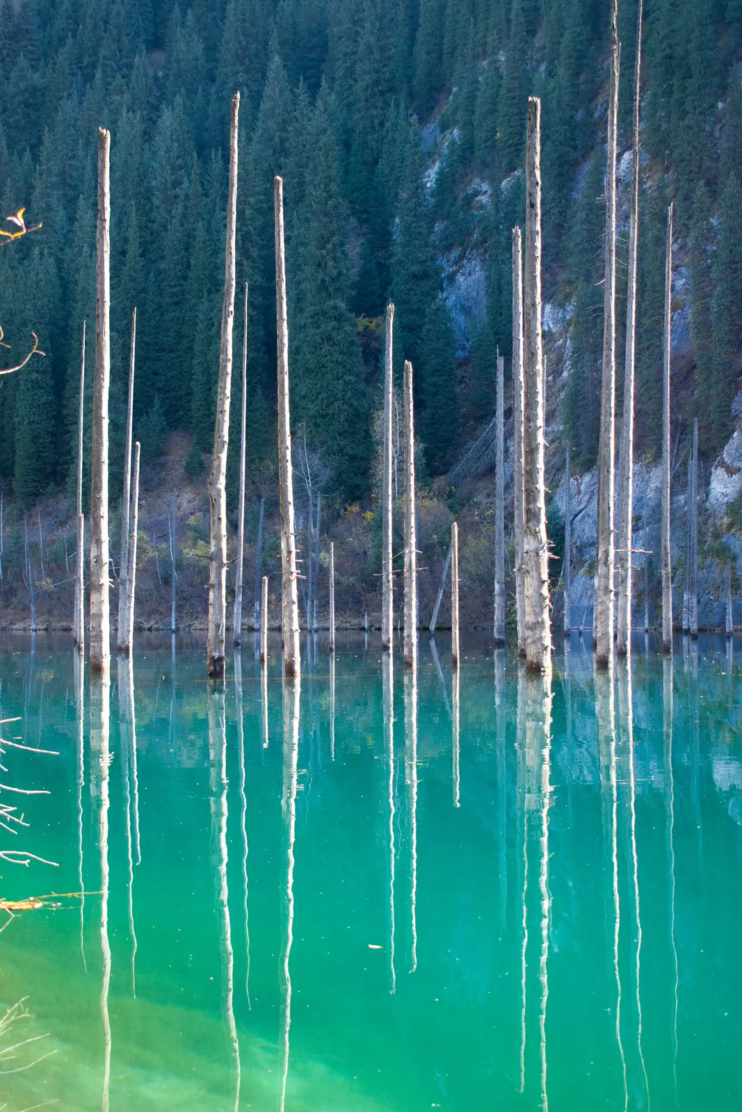
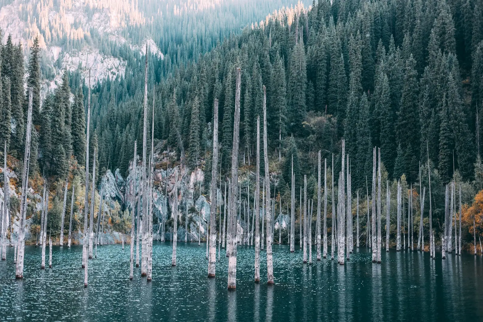
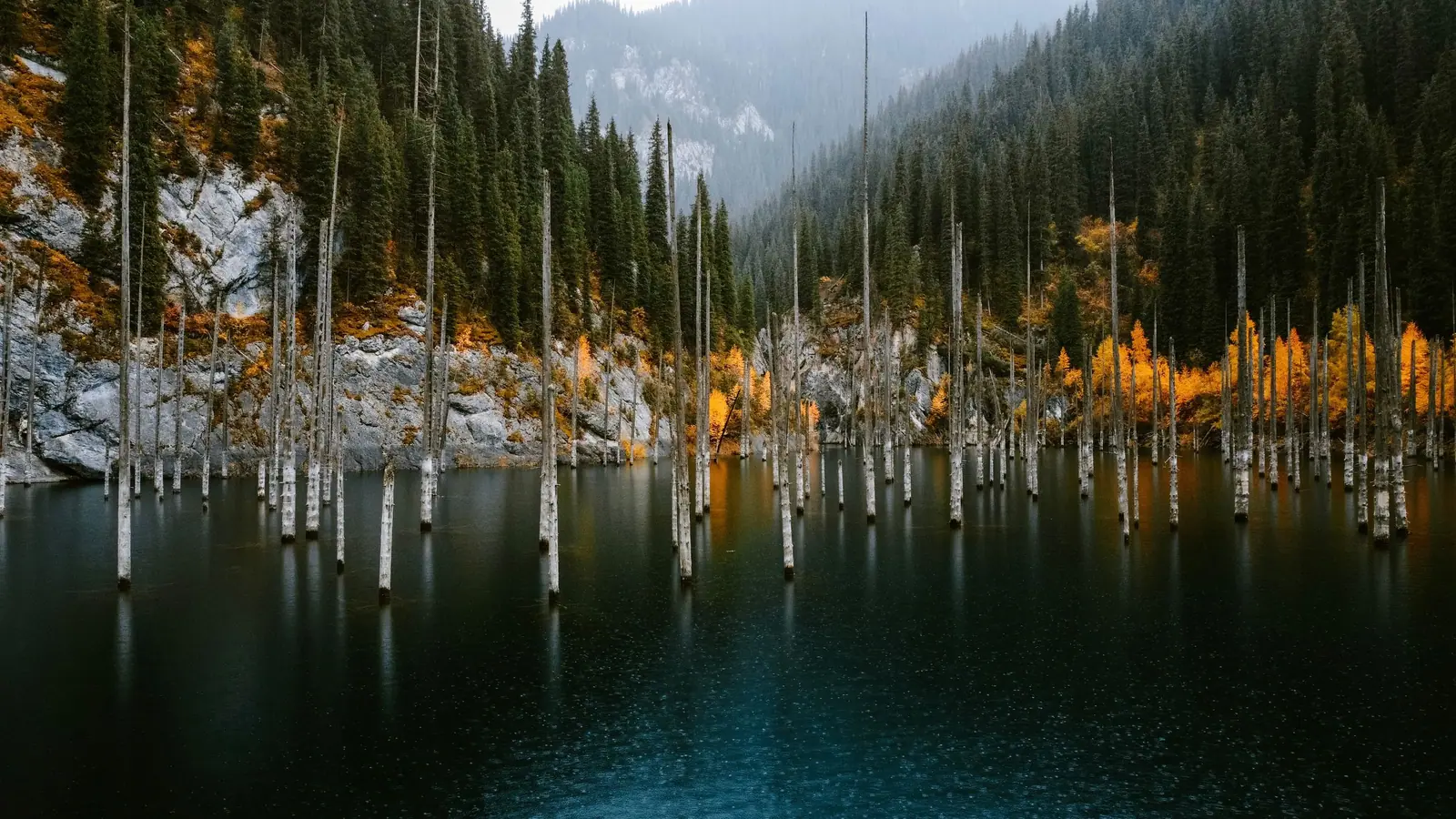
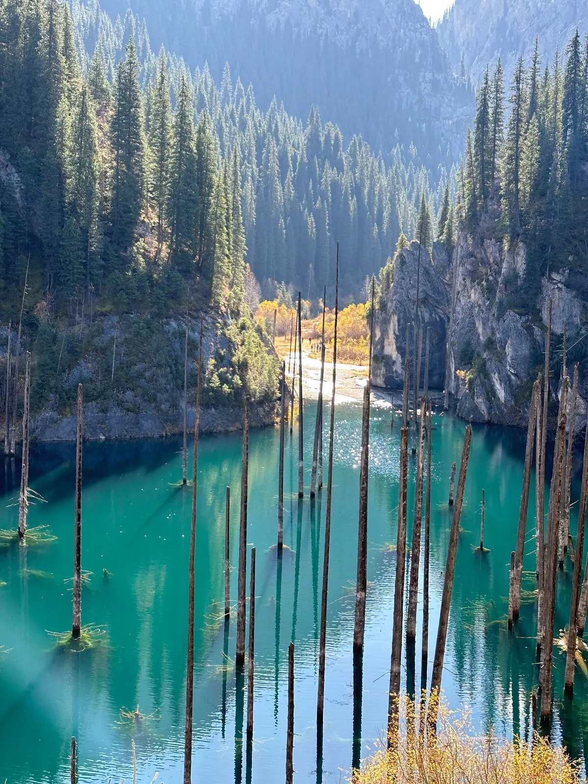
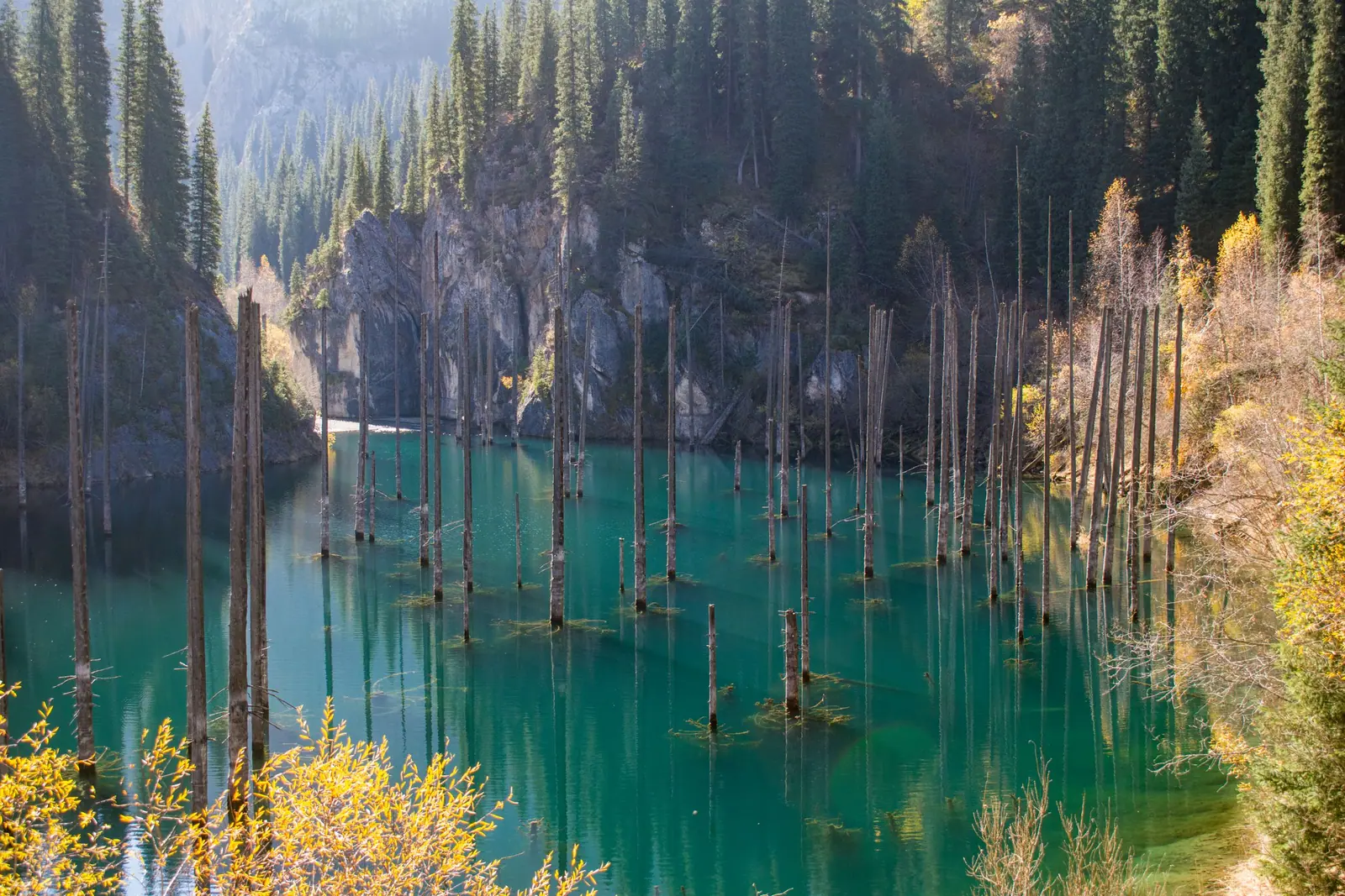
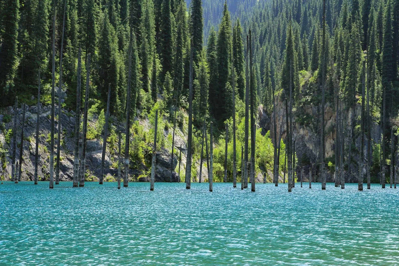
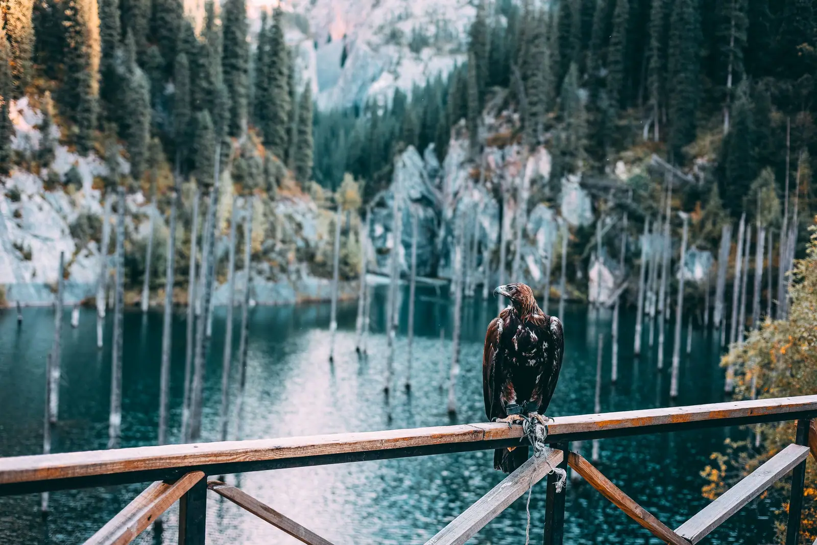
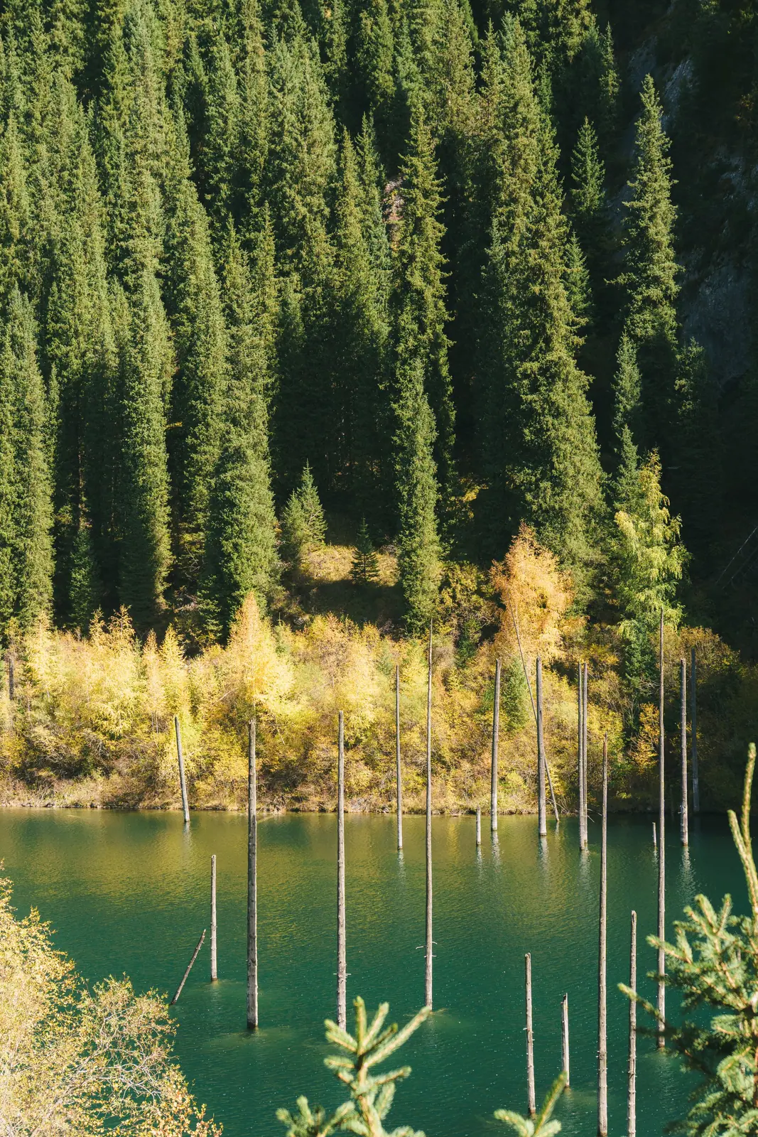
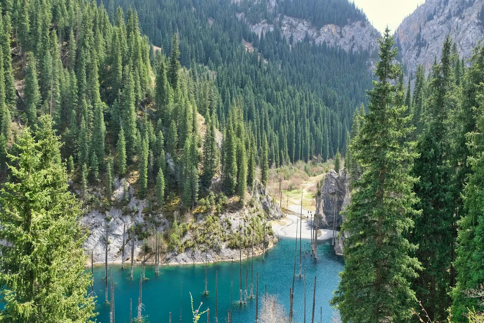
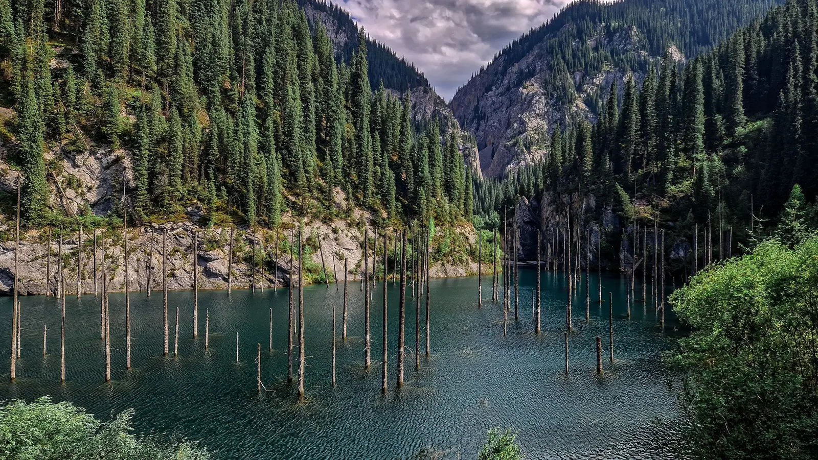
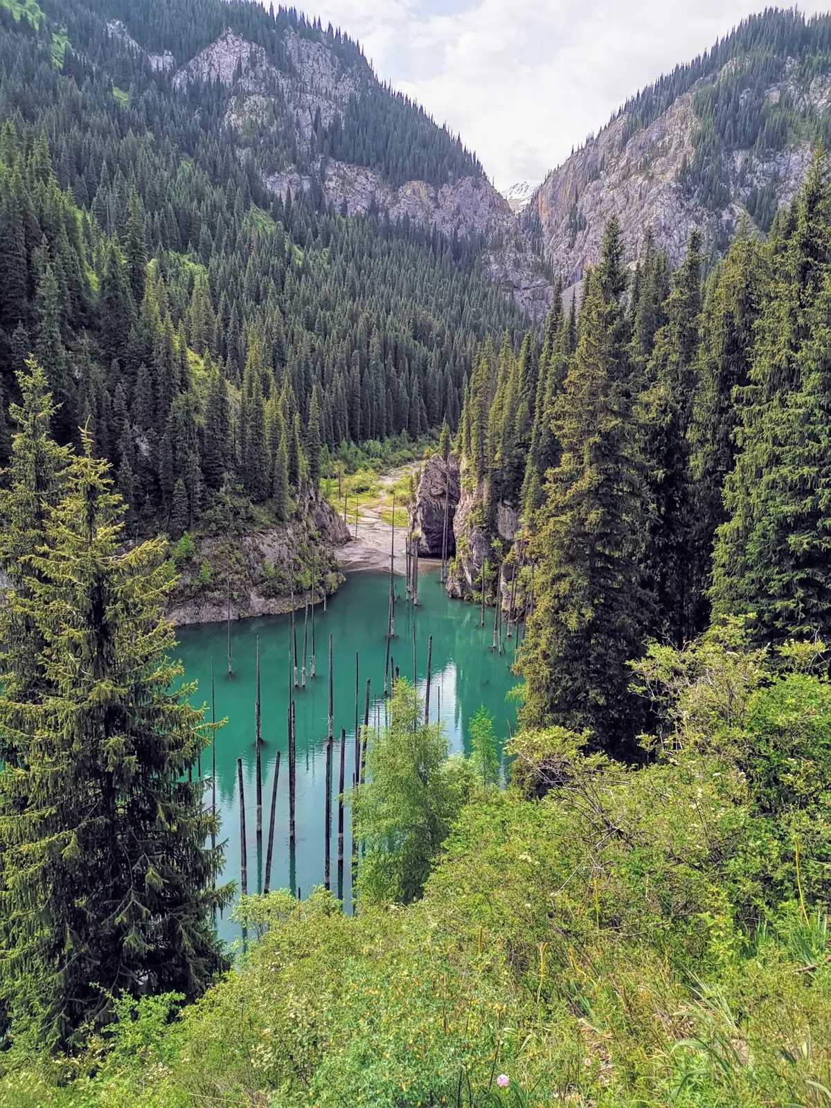
Real photos by travellers (Pexels, Unsplash, Wikimedia Commons); author and licence are given in each caption.
Kaindy is a mountain lake about 400 metres long in a gorge of the Kungey Alatau, near the village of Saty, inside Kolsai Lakes National Park. From Almaty it is roughly 284 km by road, with the last 9 km on a dirt track and then about 1.5 km on foot. The best time to go is summer or early autumn in dry weather. What draws people is the sight of bare spruce trunks standing in turquoise water, drowned when an earthquake dammed the valley in 1911.
How Kaindy Lake was formed
The lake is a product of the great earthquake of early 1911, known in English as the Kebin earthquake and in Russian sources as the Kemin (Chon-Kemin) earthquake. Wikipedia dates the main shock to 3 January 1911 at 23:25 UTC, which was already the morning of 4 January locally, with a magnitude of about 8.0 Mw. It levelled most of what was then Almaty and set off huge landslides in the mountains.
In the Kaindy gorge a mass of limestone broke away and formed a natural dam. The mountain river backed up behind it and flooded a spruce forest on the slope. The trunks have survived in the cold water for more than a century: their tops still poke above the surface, and the branches below are visible through the clear water. The tree is the Tian Shan spruce, also called Schrenk’s spruce (Picea schrenkiana).
The name Kaindy is usually translated as “birch”. Tengrinews points out that the birch grove is further down the gorge, not around the lake itself.
Altitude, size and water temperature
| Parameter | Value | Source |
|---|---|---|
| Length | about 400 m | Wikipedia, Tengrinews, Zakon.kz |
| Width | about 100–150 m | Tengrinews (2018), Zakon.kz (2025) |
| Depth | just over 20 m (2018); nearly 30 m in other sources | Tengrinews; English Wikipedia |
| Altitude | 1,667 to 2,000 m, see below | various |
| Summer water temperature | about +6 °C | Wikipedia, Tengrinews, Zakon.kz |
| Summer air temperature | up to +23 °C | Russian Wikipedia |
Sources disagree noticeably on the altitude: Russian Wikipedia gives 1,667 m, Tengrinews about 1,800 m, Zakon.kz 1,867 m, and English Wikipedia rounds it to 2,000 m. We are not going to pick one figure at random. For planning it hardly matters: the lake is lower than the middle Kolsai lake and altitude sickness is not a realistic concern.
According to Tengrinews, before a mudflow in the mid-1980s the lake was up to 40 m deep and somewhat wider.
Getting to Kaindy Lake from Almaty
The driving route as described by Tengrinews and Kolesa.kz:
| Leg | Distance | Road |
|---|---|---|
| Almaty → Shelek → A6 towards Kegen | 204 km on the Kuldzha highway | paved |
| R-16 towards Kolsai | 77 km | paved |
| Almaty → Saty village | about 263 km | paved |
| Gorge turn-off → parking | about 9 km | dirt, river ford |
| Parking → lakeshore | about 1.5 km | on foot or on horseback |
| Total by road | about 284 km | 5–7 hours one way |
The turn-off is at the edge of Saty: Kolesa.kz suggests going back about 400 m from the end-of-village sign and turning right onto the dirt road. In Saty you can hire a local driver with a UAZ, which is easier than taking your own car up the gorge.
Tengrinews puts the journey at five to seven hours depending on the vehicle, the driver and the weather. That is why Kaindy is normally combined with the Kolsai Lakes and Charyn Canyon into a two- or three-day loop; see how to build a route around Charyn.
What the gorge road is like
The dirt track is the hardest part of the trip. Kolesa.kz describes potholes, bumps and stones all the way, plus one ford; Tengrinews mentioned two fords in 2018. An ordinary car can make it slowly and with care, but heavy rain washes the road out.
Cars are not allowed down to the shore. You leave the vehicle at the lower parking area before the last bend, where yurts are set up. From there it is about 1.5 km through the forest and down to the water, around 20 minutes. Horses can be hired at the parking area.
When to go
Summer and early autumn, in dry weather. In summer the colour of the water is at its most intense and the air at the lake warms to about +23 °C, while the water never gets above roughly +6 °C.
The single most important thing is the forecast. Rain turns the 9 km gorge road into a long and risky drive.
Kaindy in winter
General advice for winter trips in the mountains east of Almaty is in our piece on Charyn in winter.
Fees and park rules
Kaindy belongs to Kolsai Lakes State National Nature Park, so the park’s fee under Order No. 232 applies: 0.2 MCI per pedestrian and 0.7 MCI per car. The tenge amount changes every January with the MCI; use the park fee calculator. Tengrinews reports that the eco-fee is paid at the ranger post with a barrier. Keep the receipt.
On site, keep in mind:
- no cars at the shore, parking is below;
- there are no developed campsites at the lake itself: bring a tent or use the yurts at the parking area;
- scuba diving only with certification, in an instructor-led group or with your own equipment;
- fires, litter and fishing are governed by the park’s rules; check what to sort out before visiting a park.
Facilities and phone signal
Guesthouses and 4x4 drivers are in Saty, the last village on the way; Kolesa.kz notes that lodging there usually includes meals. Yurts stand at the parking area in the gorge. We found no data on mobile coverage at the lake, so save offline maps before you leave.
Nearby
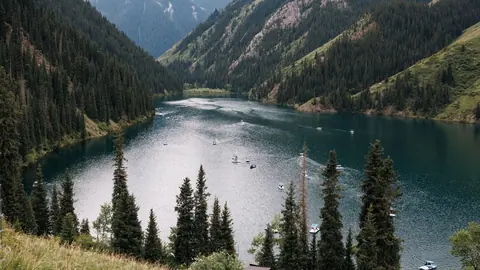
- Kolsai Lakes — three lakes in the same park; the lower one lies at 1,818 m.
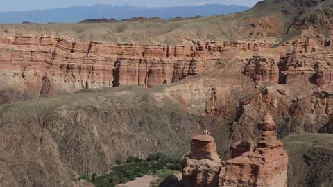
- Charyn Canyon — on the way from Almaty.
- Nature near Almaty: 15 day trips — distances and seasons compared.
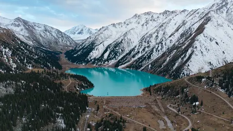
- Big Almaty Lake — the other famous mountain lake, right above the city.
Video
Kaindy Lake: when to go, month by month
- January: off season
- February: off season
- March: off season
- April: possible
- May: possible
- June: best time
- July: best time
- August: best time
- September: best time
- October: possible
- November: off season
- December: off season
Summer and early autumn in dry weather: rain washes out the dirt road, and there is no reliable word on it in winter.
Kaindy Lake: tips before you go
- Check the forecast: rain washes out the 9 km gorge track, which already has potholes, rocks and a ford.
- In Saty it is easier to hire a local driver with a UAZ than to take your own car up the gorge.
- The gorge turn-off is about 400 m back from the end-of-Saty sign, turning right onto the dirt road.
- The eco-fee is paid at the ranger post with a barrier — keep the receipt.
- Do not walk on the ice in winter: the lake is deep and nobody measures ice thickness for visitors.
More to see nearby


Frequently asked questions
How far is Kaindy Lake from Almaty?
How do I get to Kaindy Lake from Saty?
Can a regular car make it to Kaindy?
Why are there trees sticking out of the water?
Can you swim in Kaindy Lake?
How much does it cost to visit Kaindy Lake?
When is the best time to visit Kaindy?
Sources
- Lake Kaindy — Wikipedia
- Каинды (озеро) — Russian Wikipedia
- 1911 Kebin earthquake — Wikipedia
- Tales of the sunken forest of Lake Kaindy — Tengrinews, 29 Dec 2018 (in Russian)
- Weekend route: Kolsai and Kaindy — Kolesa.kz, 26 Jun 2020 (in Russian)
- Kolsai and Kaindy lakes and the earthquake — Zakon.kz, 3 Jun 2025 (in Russian)
- Kolsay Lakes — Russian Wikipedia
- Order of the Minister of Ecology and Natural Resources No. 232 of 2 Oct 2024