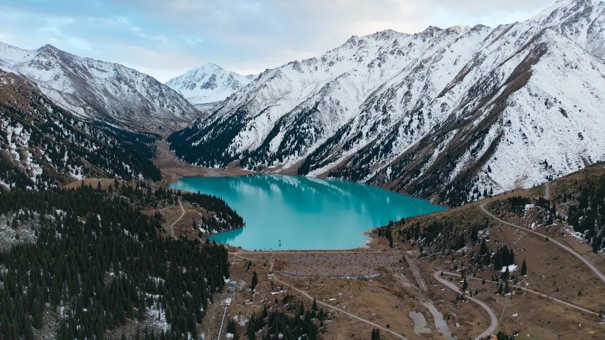
Verified: 2026-10
Big Almaty Lake: why go
Big Almaty Lake's turquoise water
Over the year the water shifts from pale green to turquoise blue, most intense in July and August. The lake is 1.6 km long and 30–40 m deep.
Three peaks above the lake
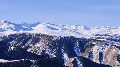
Above the lake, itself at 2,511 m, rise Sovetov Peak (4,317 m), Ozerny Peak (4,110 m) and Turist Peak (3,954 m).
The hike up to Big Almaty Lake
About 15 km on asphalt with over a kilometre of climb: 4–6 hours up, 3–4 down. The pipeline route is shorter, about 10 km, but steeper.
Almaty's drinking water
The lake supplies the city's drinking water, so swimming, fishing and going down to the shore without permission are banned; use the viewpoints.
The Tien Shan Observatory
Above the lake, at about 2,735 m, stand the observatory and the former Kosmostantsiya station. Access is restricted, with no casual visits.
No cars, no e-scooters
The road closed to cars in 2020, and on 30 April 2026 the ban was extended to motorcycles, e-scooters and e-bikes. Only service vehicles use it.
Big Almaty Lake in photos
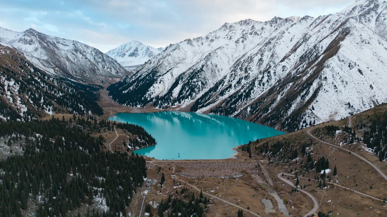
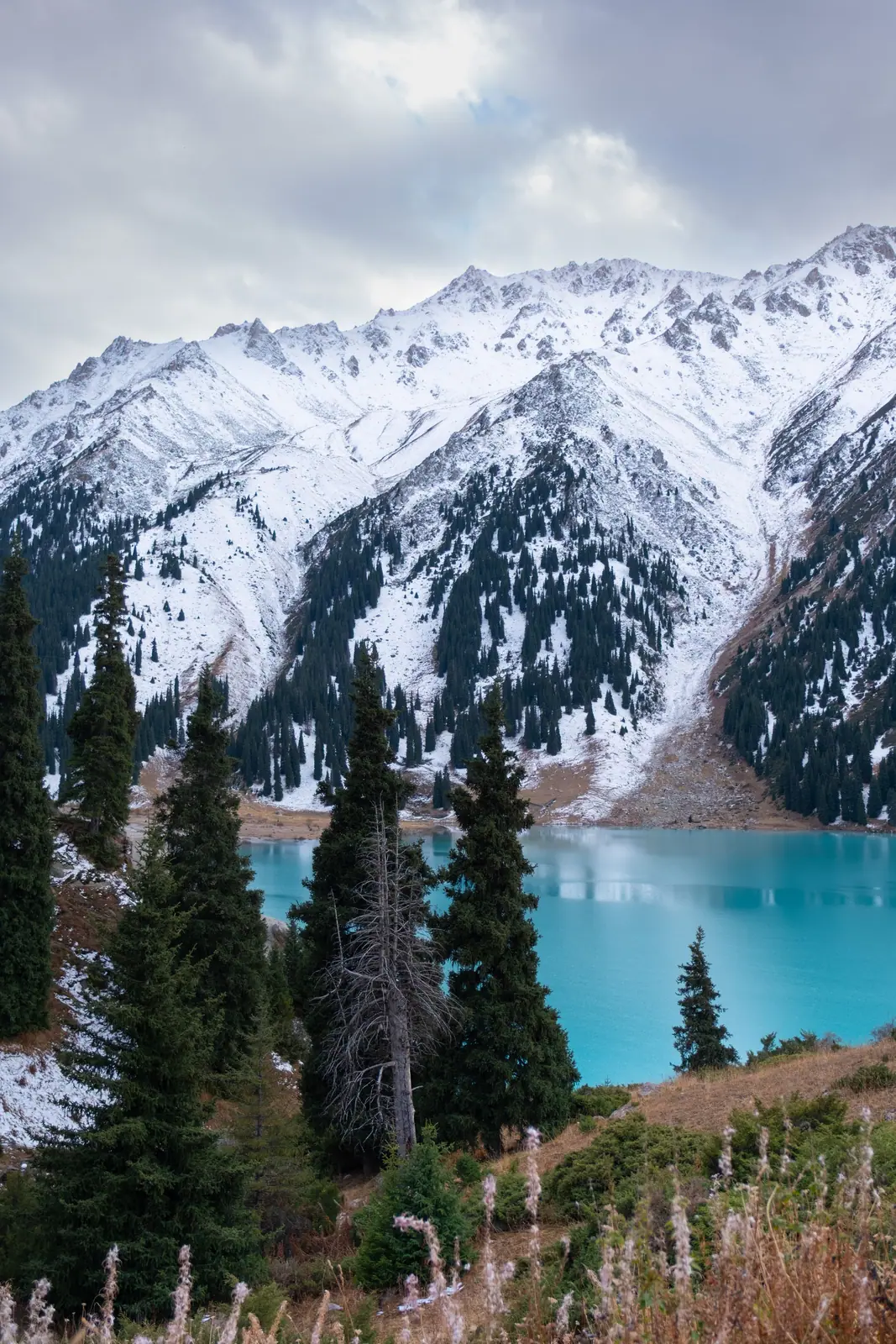
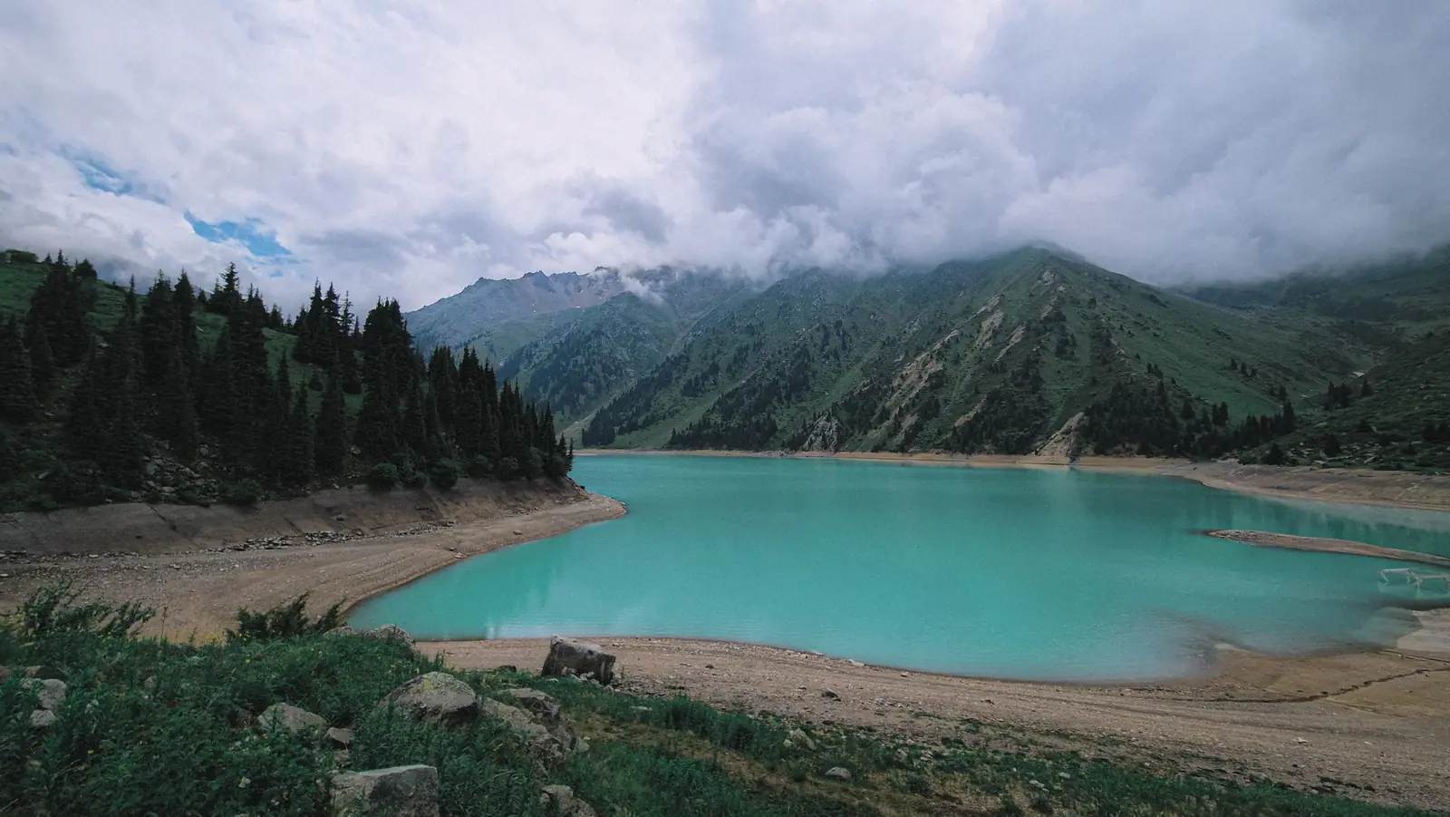
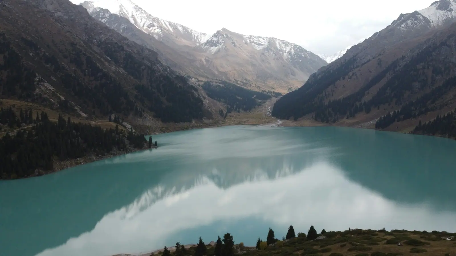
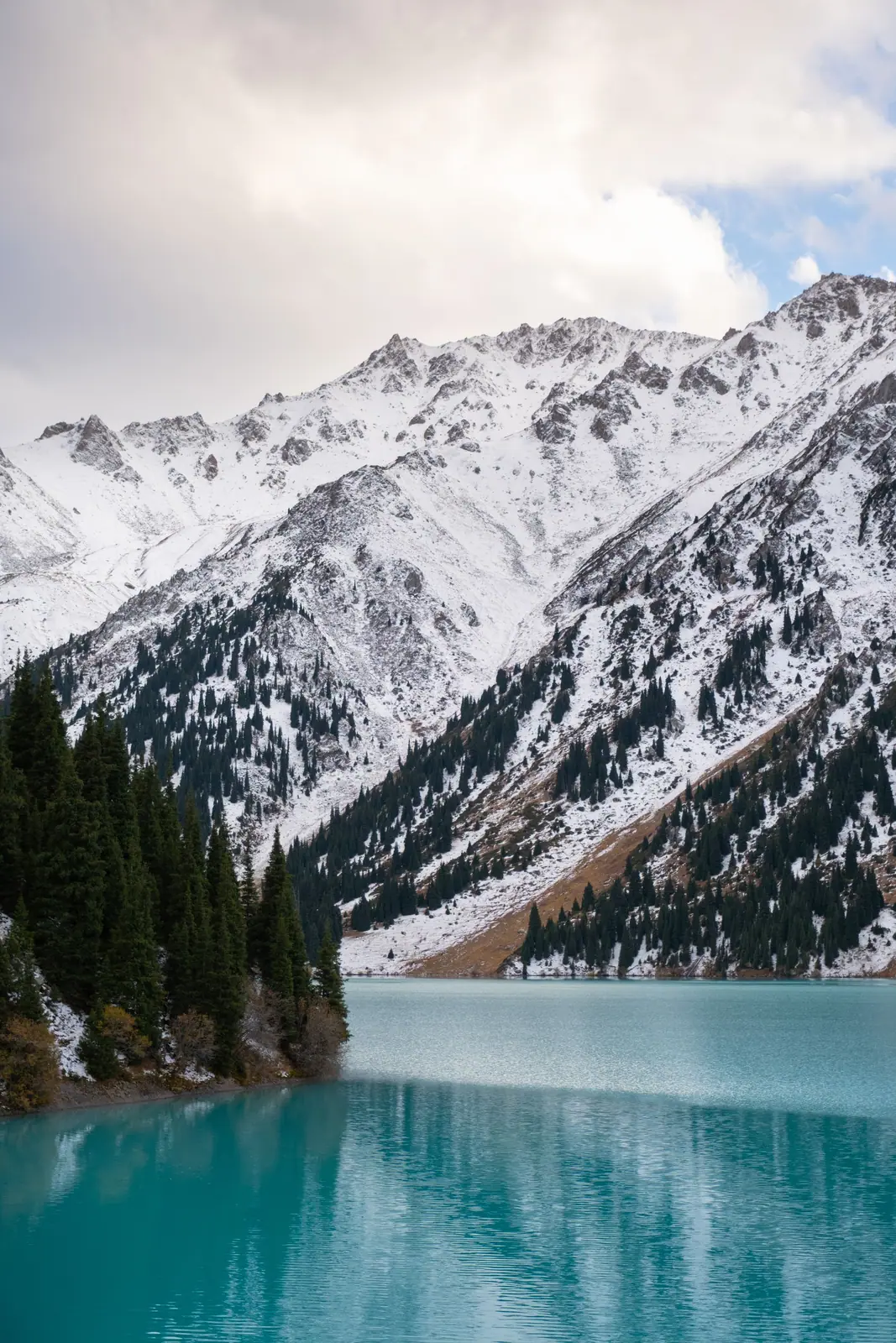
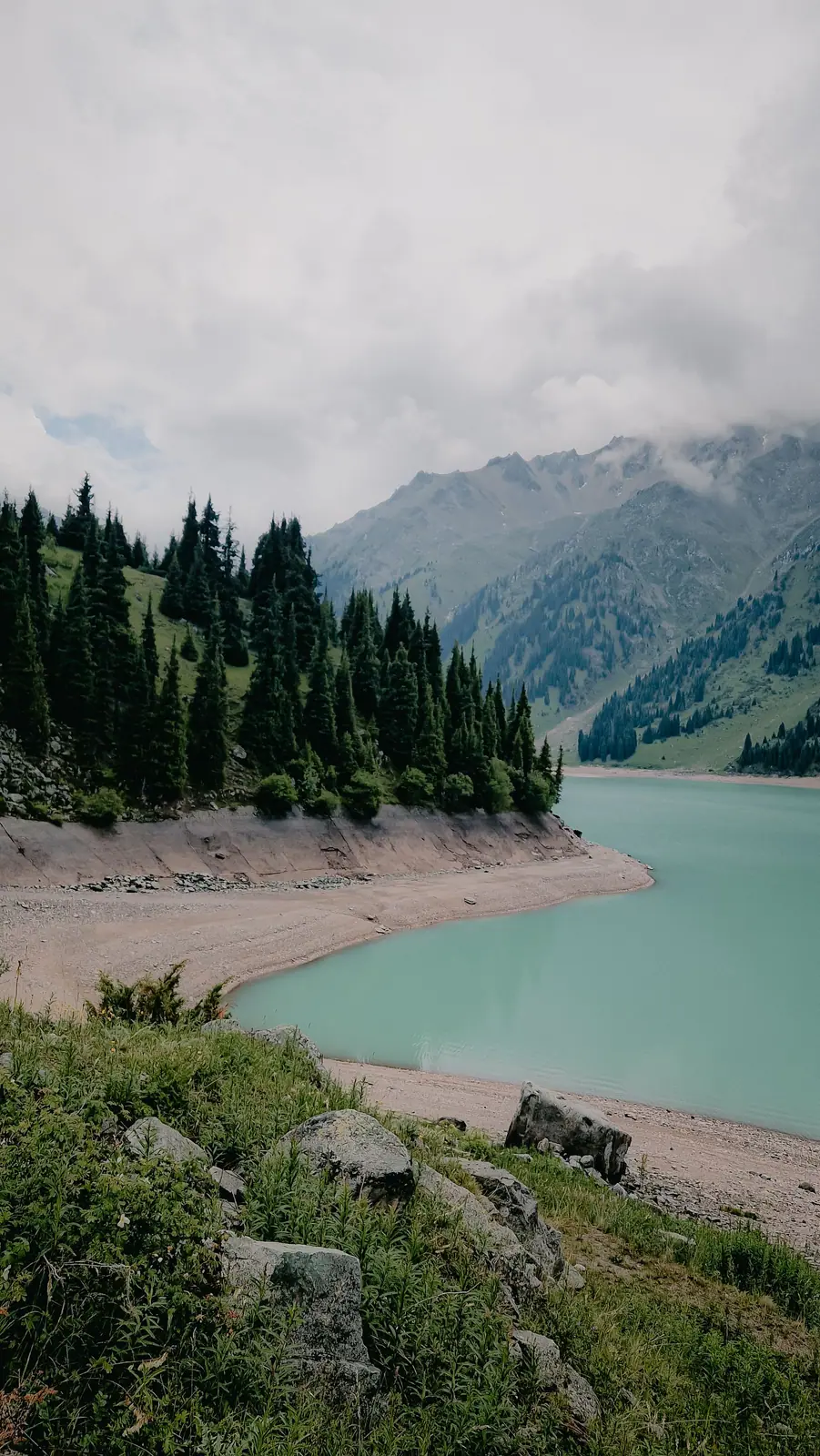
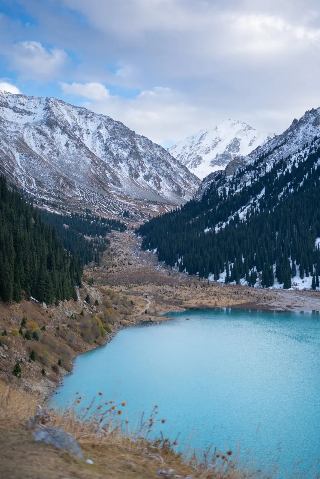
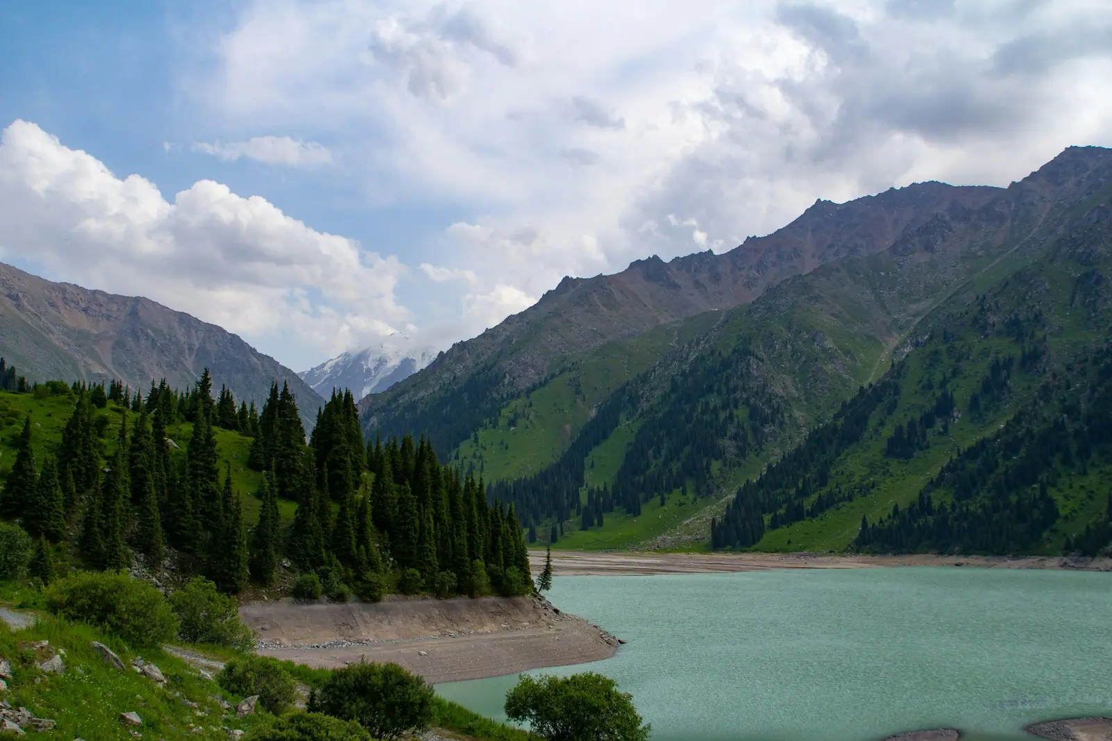
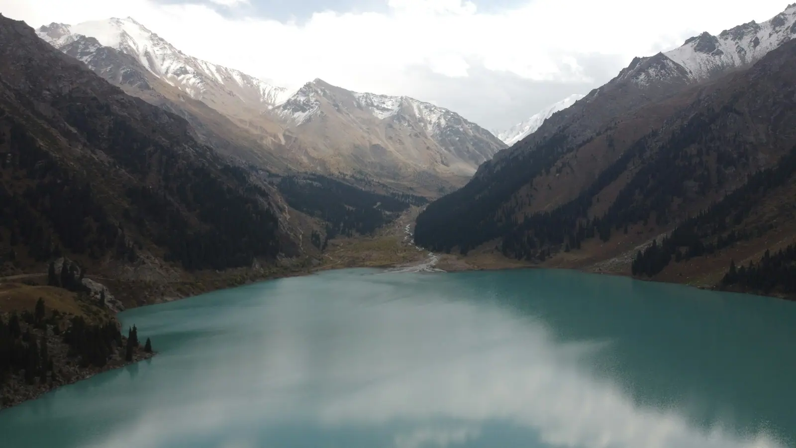
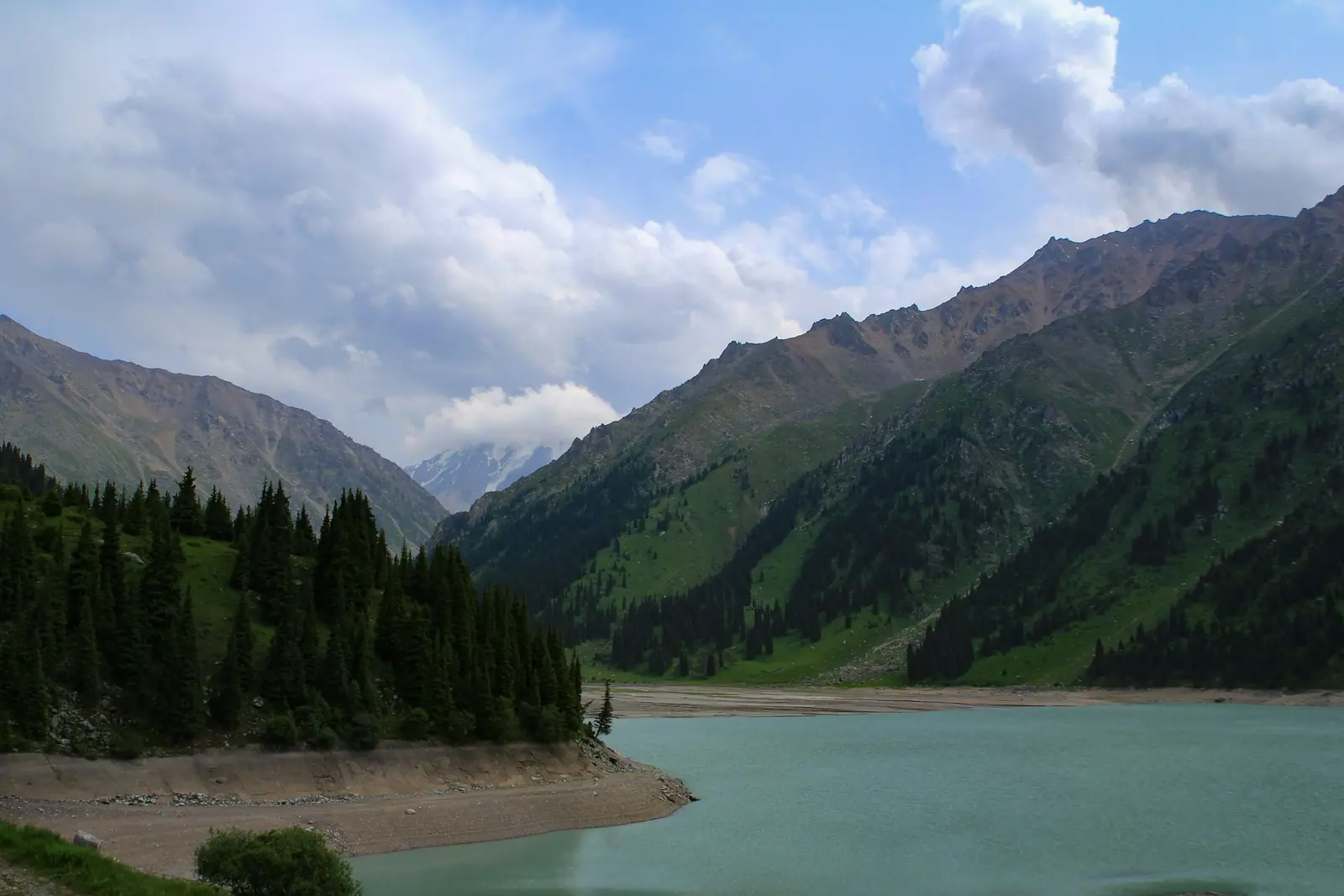
Real photos by travellers (Pexels, Unsplash, Wikimedia Commons); author and licence are given in each caption.
Big Almaty Lake (locally BAO, from its Russian initials) is a mountain lake at about 2,511 m in the Big Almaty gorge, roughly 15 km in a straight line from the southern edge of Almaty. You cannot drive there: since spring 2026 only people on foot are allowed, and the road walk is about 15 km each way. Swimming is banned because the lake supplies the city with drinking water. The best months are July and August, when the water is at its most turquoise.
What changed at Big Almaty Lake by 2026
Access rules have changed several times in recent years. Here is the timeline from dated sources:
| When | What happened | Source |
|---|---|---|
| March 2020 | road closed to cars after washouts and landslides; access on foot only | Wikipedia |
| 2023 | road reopened for about a month, then closed again | AIR Press |
| 2025 | road section handed to Almaty city administration, which is preparing a reconstruction project with rockfall protection | AIR Press |
| 30 April 2026 | Murat Ryskul, forester of the Medeu branch of Ile-Alatau National Park, announced the closure to private vehicles, e-scooters and e-bikes | Kursiv |
| October 2026 | only service vehicles use the road; a 5.3 km footpath is under construction, with opening planned for late November–December 2026 | AIR Press |
The park gave these reasons: steep slopes, poor visibility, rockfall sections, accidents and injuries involving tourists on rented e-vehicles, and damage to slopes from e-bikes riding off the road. Driving in without permission can lead to an administrative fine.
How to get to Big Almaty Lake
According to AIR Press, you can reach the start of the walk by city bus No. 28 to the Kokshoky stop, or by taxi to the GES-2 junction or the lower national park checkpoint. From there:
| Route | One way | Time | Notes |
|---|---|---|---|
| Along the paved road | about 15 km | 4–6 h up, 3–4 h down | over 1 km of elevation gain, one steep stretch of about 3 km |
| Along the water pipeline | about 10 km | — | shorter but steeper; dry weather only |
| Guided excursion | — | about 10 hours in total | still includes the walk |
Treat this as a proper mountain hike to over 2,500 m, not a stroll. Start early so you are down before dark, and carry water, warm layers and a rain jacket. Electric buses or shuttles have been discussed, but AIR Press reports no decision for autumn 2026.
Why you cannot swim
The lake is a drinking-water source for Almaty, which is why swimming is prohibited. AIR Press adds that fishing and going down to the shore without permission are also banned; you look at the lake from the viewpoints along the road. It is cold in any case: English Wikipedia gives an average water temperature of 8–10 °C, AIR Press 8–12 °C.
Size and colour
| Parameter | Value |
|---|---|
| Altitude | about 2,511 m |
| Distance from Almaty | about 15 km south in a straight line (further by road) |
| Length | 1.6 km |
| Width | 0.75–1 km |
| Depth | 30–40 m |
| Volume | about 14 million m³ |
| Water level range | up to 20 m: highest in August, lowest in February |
Figures are from the English and Russian Wikipedia. Over the year the water shifts from pale green to turquoise blue. Above the lake rise Sovetov Peak (4,317 m), Ozerny Peak (4,110 m) and Turist Peak (3,954 m).
Best time to visit
Seasons as described by AIR Press:
- May–June: the ice melts, snow is still on the slopes;
- July–August: peak turquoise, but thunderstorms and rockfall are possible;
- September–October: fewer people, night frosts, falling water level;
- November–April: road under snow and avalanche risk; experienced hikers only.
How to prepare for the hike
The usual mistake is to think of BAO as a lake on the edge of town. Fifteen kilometres uphill with more than a kilometre of climb is a full mountain day, and the long descent on asphalt is harder on the knees than the way up. Keep in mind:
- timing: with 4–6 hours up and 3–4 down, start in the morning;
- weather: storms and rockfall happen in July and August, so postpone if thunderstorms are forecast;
- altitude: above 2,500 m it is much colder than in the city, and autumn nights freeze;
- food and water: we found no shops or cafés on the route in our sources, so bring everything;
- signal: there is no data on coverage along the route, so download an offline map.
The observatories above the lake
Above the lake stand the Tien Shan Astronomical Observatory and a former high-altitude research station that locals call the Kosmostantsiya. Tengrinews places the observatory about 30 km south of Almaty at roughly 2,735 m. Both are restricted-access sites with no casual visits.
Fees and documents
The approach runs through Ile-Alatau National Park. Its fee under Order No. 232 is 0.15 MCI per pedestrian; the fee calculator converts it to tenge for the current year. AIR Press says you can pay at the checkpoint or via banking apps. Bring ID; children need a birth certificate.
One more detail from Wikipedia: in May 2011, 707.66 hectares including the Almaty gorge and the lake itself were removed from park land and attached to the city of Almaty. The approach is still controlled by the park’s Medeu branch, which is why the park announces the visiting rules. For where border permits are and are not required, see border zone permits.
How it compares with other lakes
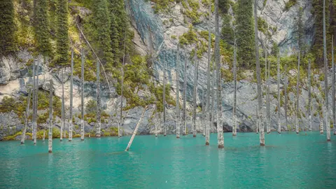
Two other famous mountain lakes are often lumped together with BAO. Kaindy Lake in Kolsai Lakes National Park is more than 280 km away and needs an overnight trip, but you can drive a dirt track to its parking area. Lake Issyk, about 40 km east of Almaty according to Wikipedia, was devastated by a mudflow in 1963. BAO is the closest to the city, yet since 2026 it is the one you can only reach on foot.
Nearby
- Nature near Almaty: 15 day trips — distances and seasons compared.
- Turgen gorge waterfalls — another Ile-Alatau gorge you can drive into.
- What to check before visiting a park.
Big Almaty Lake: when to go, month by month
- January: off season
- February: off season
- March: off season
- April: off season
- May: possible
- June: possible
- July: best time
- August: best time
- September: good
- October: good
- November: off season
- December: off season
Turquoise peaks in July–August, with storms and rockfall possible; November to April the road is snowbound with avalanche risk.
Big Almaty Lake: tips before you go
- Reach the trailhead by bus No. 28 to Kokshoky, or by taxi to the GES-2 junction or the park's lower checkpoint.
- Start in the morning: with 4–6 hours up and 3–4 down, a late start means descending in the dusk.
- Carry food, water, a warm layer and a rain jacket: above 2,500 m it is cold even in summer.
- If thunderstorms are forecast in July–August, postpone: storms and rockfall do happen.
- Bring ID, plus a birth certificate for children; the fee can be paid at the checkpoint or by banking app.
More to see nearby


Frequently asked questions
Can you drive to Big Almaty Lake?
How do you hike to Big Almaty Lake?
Can you swim in Big Almaty Lake?
How much is the entry fee for Big Almaty Lake?
When is the best time to visit Big Almaty Lake?
Do I need a border permit for Big Almaty Lake?
Can I visit the observatory above the lake?
Sources
- Big Almaty Lake — Wikipedia
- Большое Алматинское озеро — Russian Wikipedia
- BAO closed to private cars and scooters — Kursiv, 30 Apr 2026 (in Russian)
- Big Almaty Lake in 2026: how to get there and what has changed — AIR Press, 18 Oct 2026 (in Russian)
- Closer to the stars (Tien Shan observatory) — Tengrinews, 2 Aug 2017 (in Russian)
- Issyk (lake) — Russian Wikipedia
- Order of the Minister of Ecology and Natural Resources No. 232 of 2 Oct 2024