Verified: 2026-09
Bayanaul: why go
Lake Zhasybay
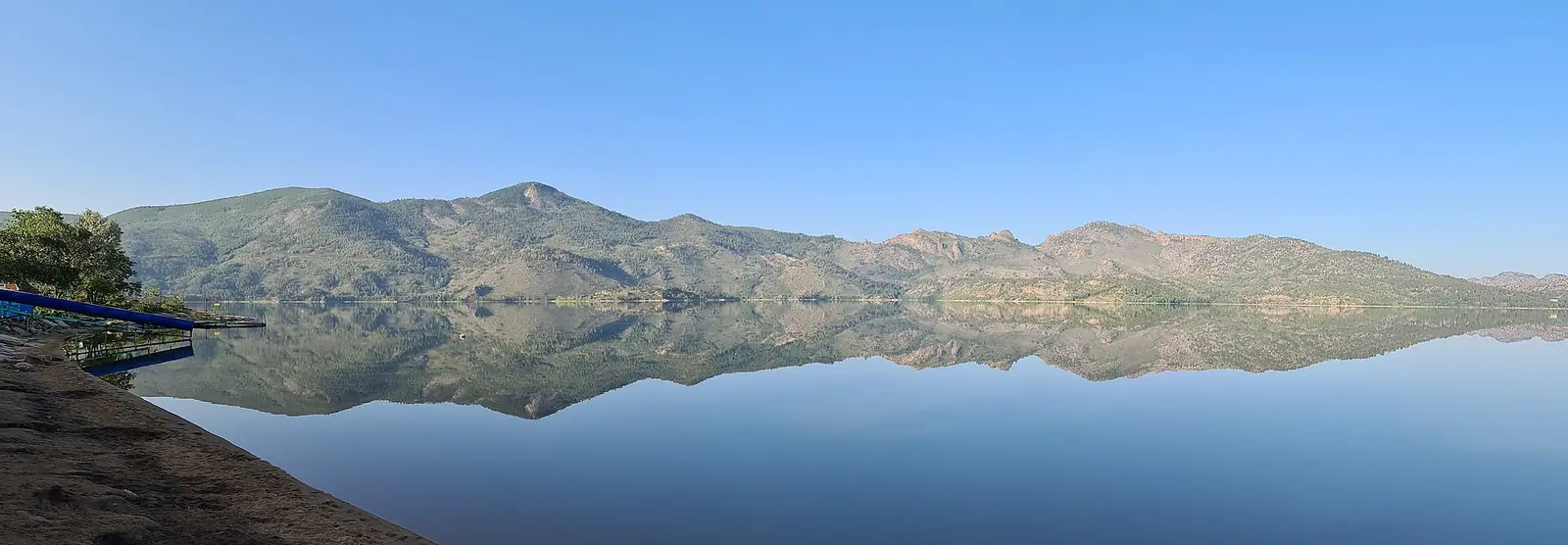
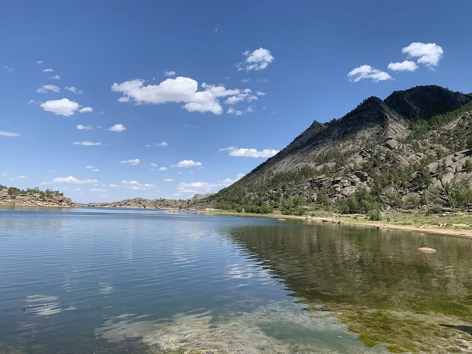
The park's second-largest and clearest lake: 4 km², up to 14.7 m deep, about twice Borovoe's depth. It lies 6 km north of Bayanaul village.
Sabyndykol and Toraigyr lakes
Sabyndykol, the largest lake, has Bayanaul village and its shops on the shore. Toraigyr, at the northern foot of the hills, is shallower and quieter.
Kempirtas and granite shapes
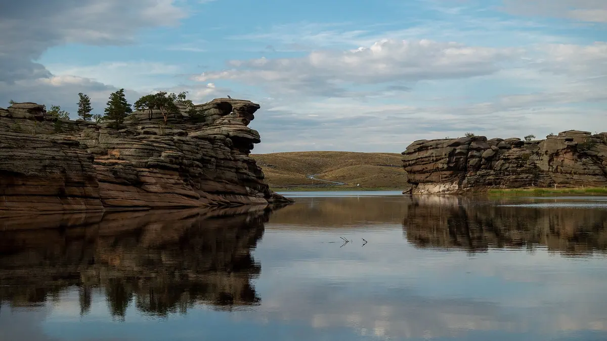
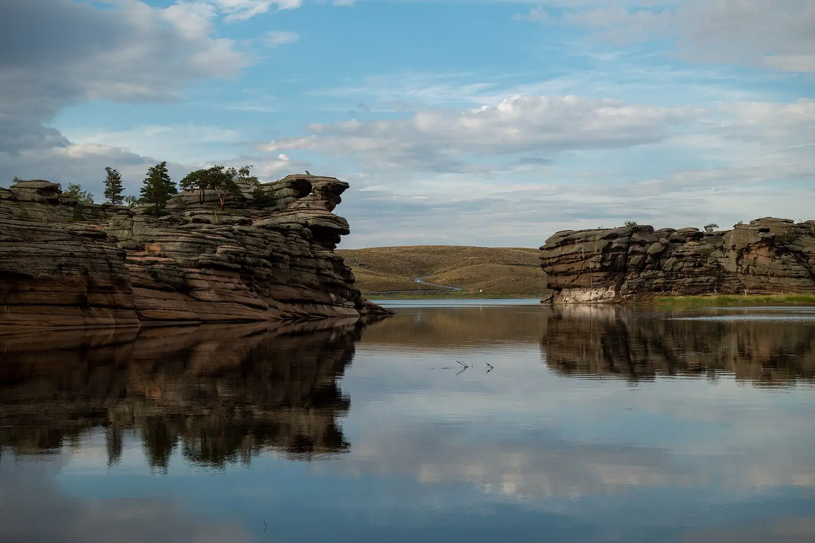
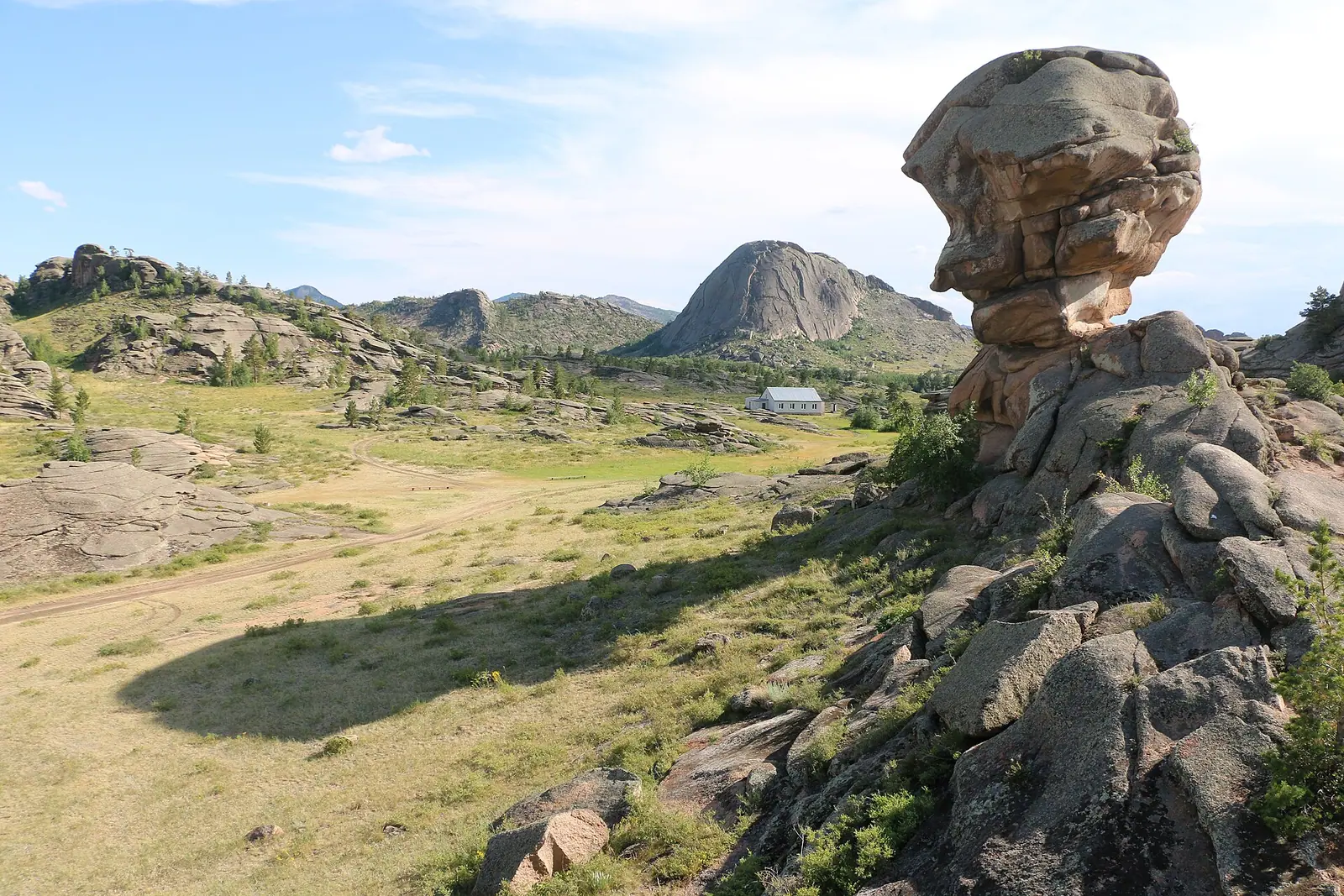
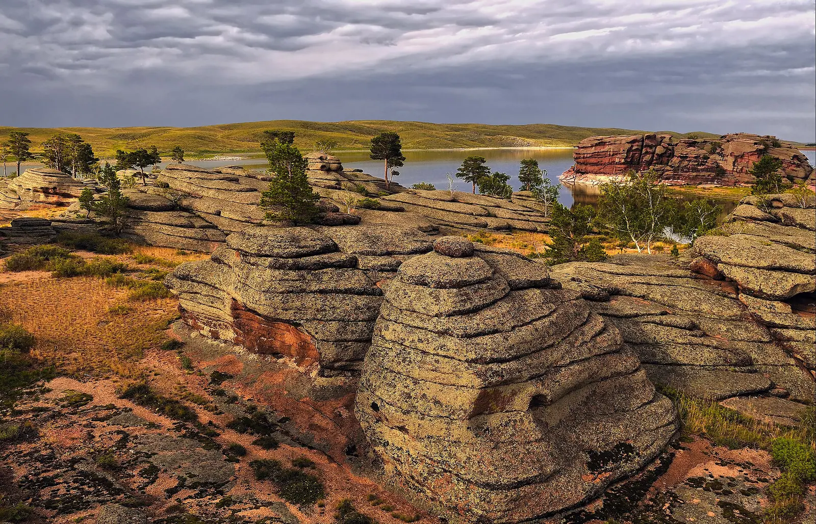
Wind and water have carved the granite into figures: Kempirtas, the Baba Yaga rock, plus a camel, a mammoth's head and a flying saucer.
Konyr-Aulie cave
A sacred pilgrimage site with a small spring inside. A walk of about a kilometre leads to it, finishing on a wooden staircase.
Mount Akbet, the high point
1,027 m according to Wikipedia, 1,022 m according to Zakon.kz — either way higher than Mount Kokshe at Burabay (947 m).
Rock pines and argali
The Bayanaul pine grows straight out of the rock and relict black alder lines the streams. A 2024 count found more than 760 argali.
Bayanaul in photos
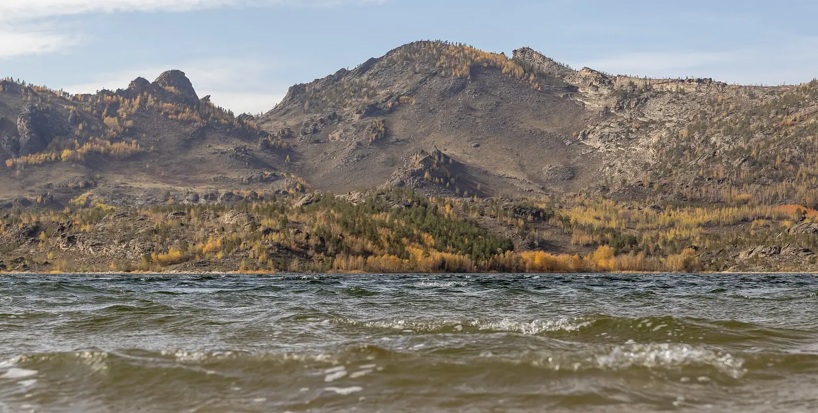
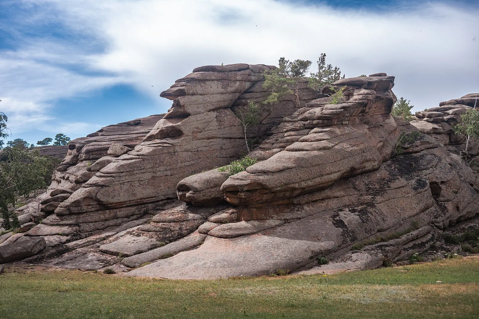
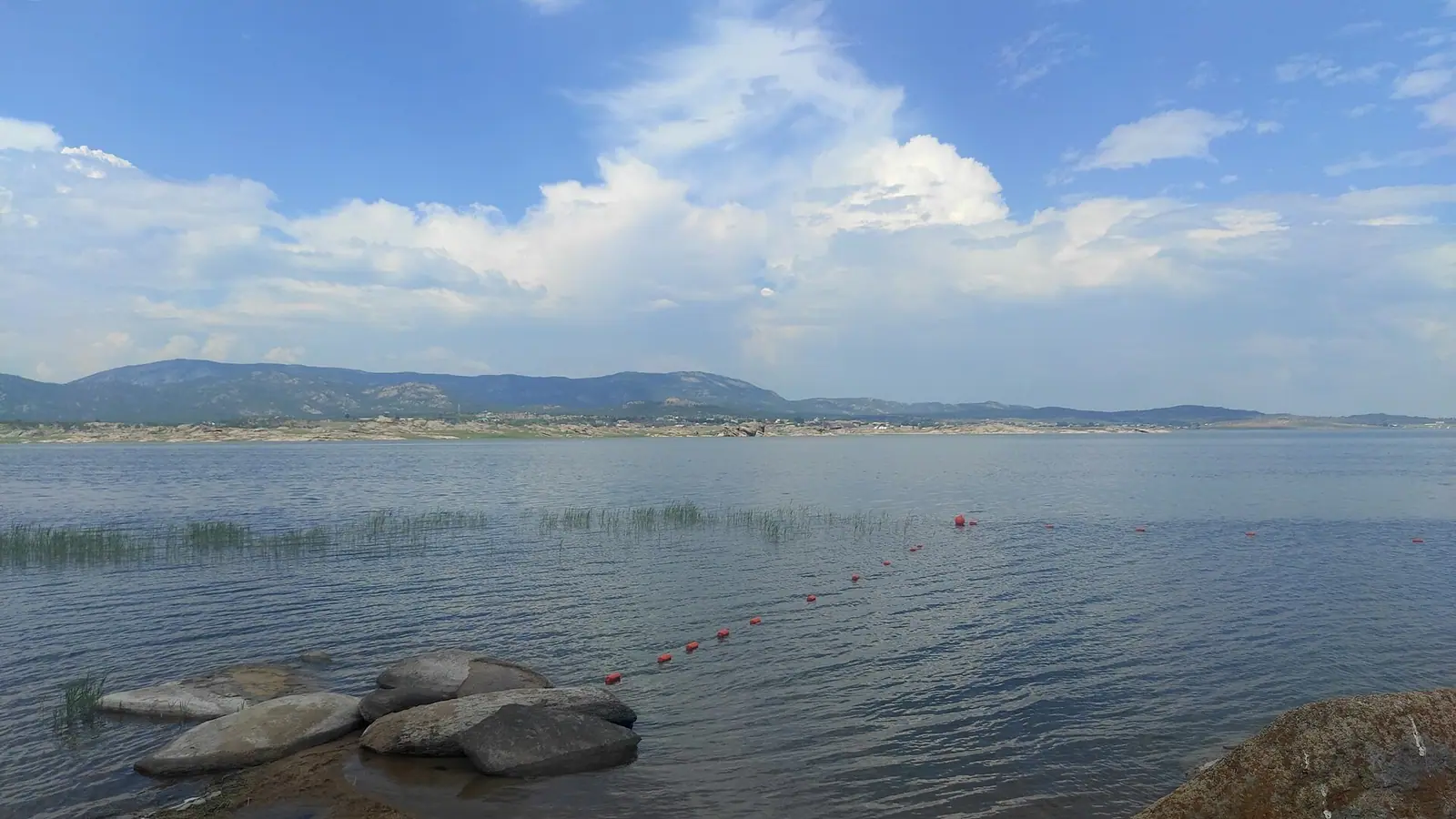
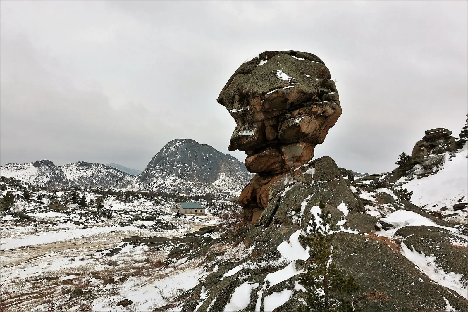
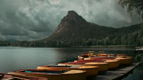
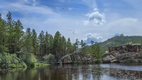
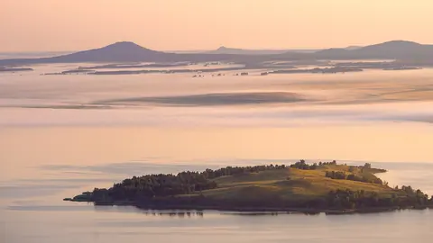
Real photos by travellers (Pexels, Unsplash, Wikimedia Commons); author and licence are given in each caption.
Bayanaul State National Natural Park — Pavlodar Region. Established on 12 August 1985.
The first national park in Kazakhstan.
Key figures
| Official name | Bayanaul State National Natural Park |
| Area | 68 452.8 ha |
| Region | Pavlodar Region |
| Established | 12 August 1985 |
Entrance tariff
0.15 MCI per pedestrian, 0.4 MCI per car. In 2026 that is 648.8 ₸ and 1,730 ₸.
The tariff is set by appendix 24 to Order No. 232 of 2 October 2024.
The tariff is set in MCI units rather than tenge, so the amount changes with each January budget.
What to see
- Zhasybay Lake
- Naizatas rock
- granite formations
Bayanaul in one minute
Bayanaul is a cluster of granite hills rising out of the Pavlodar steppe, with four freshwater lakes: Sabyndykol, Zhasybay, Toraigyr and Birzhankol. Wikipedia describes it as Kazakhstan’s first national park, covering about 68,500 ha at elevations between 400 and 1,027 m. People come in summer to swim and to wander among wind-carved rocks; the nearest town is Ekibastuz, while the regional capital Pavlodar is considerably further.
The lakes: Zhasybay, Sabyndykol, Toraigyr
The four main lakes differ in character, and choosing where to stay mostly comes down to choosing a lake.
| Lake | What we know | Source |
|---|---|---|
| Sabyndykol | the largest; Bayanaul village is on its shore | Wikipedia |
| Zhasybay | second-largest and clearest; 4 km², 3.5 × 2.4 km, up to 14.7 m deep, 395 m above sea level; 6 km north of the village | Wikipedia |
| Toraigyr | third-largest and highest; 0.88 km², mean depth 3.1 m; Toraigyr village on its shore | Wikipedia |
| Birzhankol | smallest of the four, about 800 m across | Wikipedia |
Zhasybay sits in a valley between two ridges and is the main beach lake.
Sabyndykol (“soapy lake”) is the village lake: shops and most services are here, and so are most people.
Toraigyr, at the northern foot of the Bayanaul hills, is the quiet, shallower option.
Rocks and the Konyr-Aulie cave
What makes Bayanaul memorable is granite weathered by wind and water into shapes. The best known are Kempirtas (the “Baba Yaga” rock) and a formation locals call “Masculine Dignity”; guides also point out a camel, a mammoth’s head and a “flying saucer”.
Konyr-Aulie cave is a sacred site visited by pilgrims. According to English Wikipedia, it is reached by a walk of about a kilometre, the last part on a wooden staircase. Inside is a small spring used for ritual washing. Treat it as you would any place of worship.
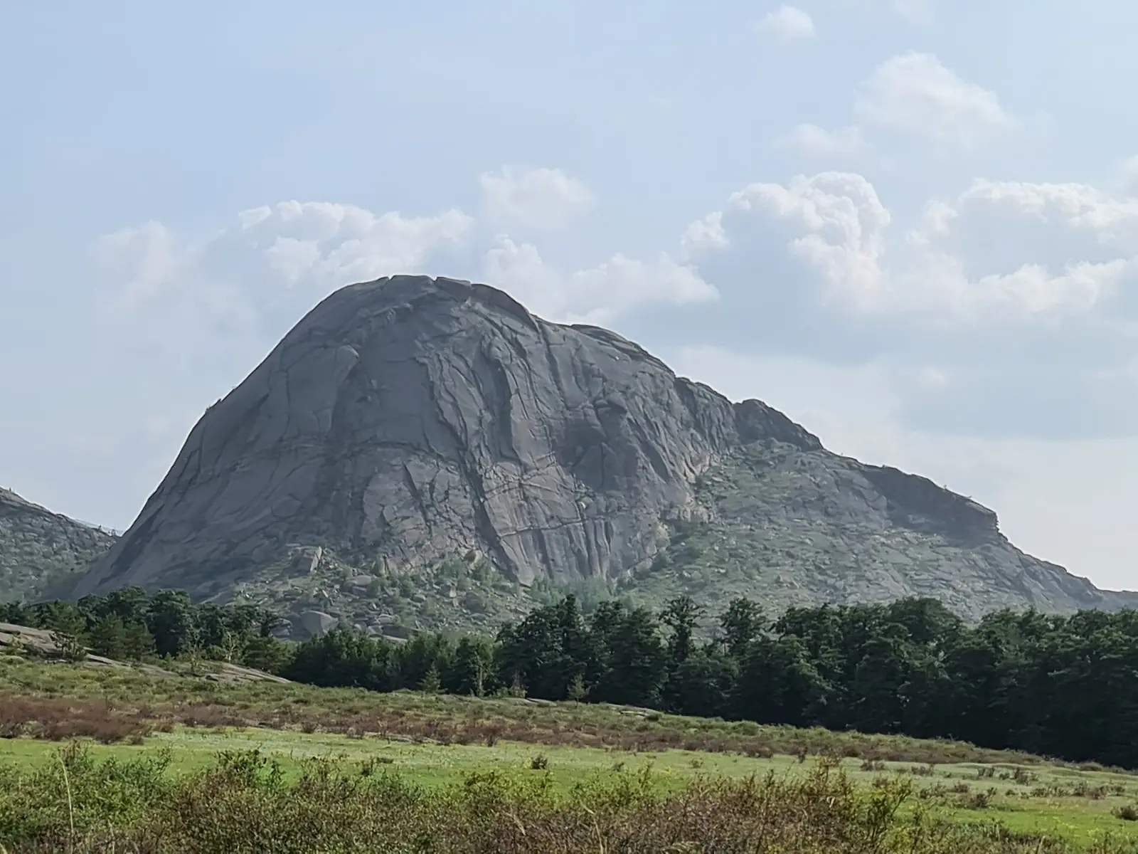
Mount Akbet is the park’s highest point: 1,027 m according to Wikipedia, 1,022 m according to Zakon.kz. Other named peaks include Naizatas and the “Peak of the Brave”.
Legends and archaeology
Many places at Bayanaul come with a story. English Wikipedia links the name Akbet to a legend about a girl who threw herself from the summit rather than be forced into marriage.
Beyond legends there is tangible history: NUR.KZ reported in 2024 that 24 archaeological monuments are recorded in the park. We found no dedicated tourist route linking them in open sources, so ask the park administration.
Nature: pines on bare rock and argali
The park counts about 460 plant species. Its signature is the Bayanaul pine, which grows straight out of the rock, and a relict grove of black alder along the streams. Fauna includes about 50 bird species and about 40 mammal species, among them the Red Book-listed argali. In 2024 NUR.KZ reported a visual count of more than 760 argali in the park.
Getting there from Pavlodar and Ekibastuz
| Route | What we know | Source |
|---|---|---|
| Ekibastuz to the park | about 100 km (Russian Wikipedia) or 140 km (English Wikipedia) | Wikipedia |
| Pavlodar to Lake Zhasybay | about 230 km south-west | Wikipedia |
| Pavlodar to Bayanaul by road | three to four hours (2017 data) | Inbusiness.kz |
In practice travellers get to Ekibastuz from Pavlodar or Astana and continue by car, bus or taxi. In 2017 an inaugural flight from Pavlodar to Bayanaul used an 18-seat Let-410 (40 minutes in the air), but we have not confirmed whether any regular service runs today.
Planning a two-day trip
Bayanaul is compact, so a weekend usually works if you pick the right base:
- Lake Zhasybay for swimming and a quiet stay; Bayanaul village is about 6 km away.
- Bayanaul village on Sabyndykol if you want shops and services close by.
- Toraigyr if you want peace and can live with fewer facilities.
Give day one to your lake and the rocks around it, and day two to the Konyr-Aulie cave and the viewpoints. The drive from Pavlodar takes several hours, so set off in the morning to reach the lake in daylight.
When to go and entry fees
The climate is harsher than summer photos suggest: the mean annual temperature is about 3.2 °C and precipitation about 340 mm a year. Swimming is mainly a summer affair; in the shoulder season the rocks are good for walking without crowds.
The park fee is shown on the card above and set in MCI fractions; the park fee calculator converts it into tenge for the current year. To compare Bayanaul with other parks by area and fee, see the national parks comparison.
Worth keeping in mind:
- Bayanaul is a national park, not a strict reserve, so its recreation zone is open to visitors. The difference is explained in our guide to protected area categories.
- Bayanaul’s main rival in the north is Burabay: closer to Astana, but Zhasybay is roughly twice as deep as Lake Borovoe (14.7 m against 7 m).
- Before you go, run through the pre-trip checklist.
Bayanaul: when to go, month by month
- January: possible
- February: possible
- March: possible
- April: possible
- May: good
- June: best time
- July: best time
- August: best time
- September: good
- October: possible
- November: possible
- December: possible
Swimming is mainly a summer thing; the shoulder season suits rock walks without crowds. Mean annual temperature is about 3.2 °C.
Bayanaul: tips before you go
- Pick your base by lake: Zhasybay for swimming and quiet, Sabyndykol for shops, Toraigyr for peace with fewer facilities.
- The drive from Pavlodar takes several hours, so leave in the morning to reach the lake in daylight.
- Sources disagree on the distance from Ekibastuz (100 or 140 km), so check the route to your base in a navigation app.
- Check bus times from Pavlodar and Ekibastuz with the bus station before you set off.
- Konyr-Aulie is a pilgrimage site: behave in the cave as you would in any place of worship.
More to see nearby


Frequently asked questions
How do I get to Bayanaul from Pavlodar?
How far is Bayanaul from Ekibastuz?
Which lake at Bayanaul is best for swimming?
How high is Mount Akbet?
What is the Konyr-Aulie cave?
What wildlife lives in Bayanaul National Park?
Sources
- Bayanaul National Park — Wikipedia
- Bayanaul National Park — Wikipedia (Russian)
- Lake Zhasybay — Wikipedia (Russian)
- Lake Toraigyr — Wikipedia (Russian)
- A green oasis in the steppe: what draws visitors to Bayanaul — NUR.KZ, 2024
- Bayanaul takes wing — Inbusiness.kz, 2017
- Lake Borovoe — Wikipedia (Russian), depth for comparison
- Top 5 hiking routes in Burabay (Akbet height for comparison) — Zakon.kz