Verified: 2026-10
Aktau and Katutau mountains in Altyn-Emel: why go
The banded Aktau Mountains
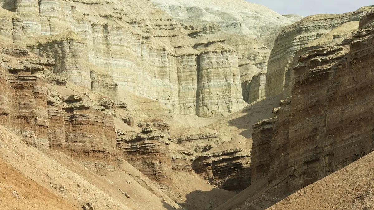
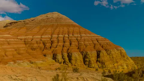
The name means white mountain, but the hills are striped: white, cream, yellow, pink, red and grey clay layers cut by canyons.
Fossils of the Aktau hills
The layers have yielded crocodiles, turtles and giant rhinos 25–30 million years old; some finds are shown at the park visitor centre.
A forest that is gone
56 Early Miocene plant species: imprints of spruce, birch, alder, linden and ailanthus, trees that no longer grow in today's desert.
Katutau's extinct volcanoes
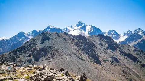
Two volcanoes were active here millions of years ago: solidified lava, dark stone, deep cracks and small caves, with natural steps up.
The 700-year-old Kosbastau willow
On the way to the hills people stop at a willow over 700 years old whose branches touch the ground, take root and send up new trunks.
Aktau's bands at sunrise
The layers read clearly in soft, low light at dawn and towards sunset; many visitors camp for several days just for the sunrises.
Aktau and Katutau mountains in Altyn-Emel in photos
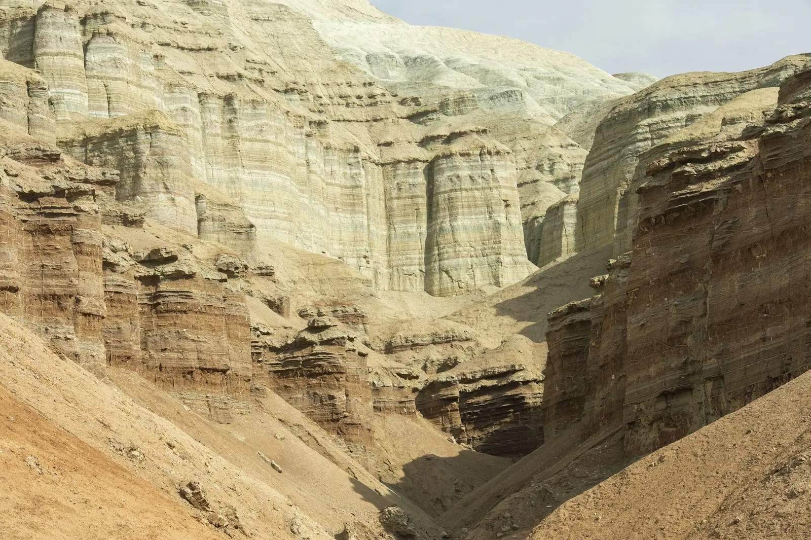
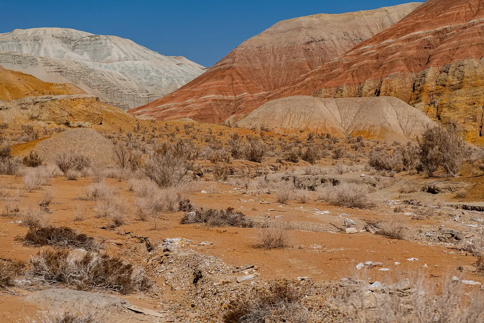
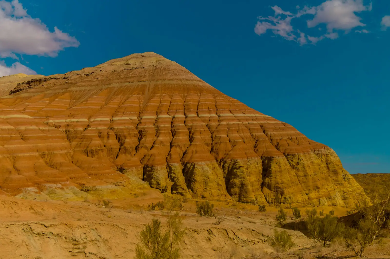
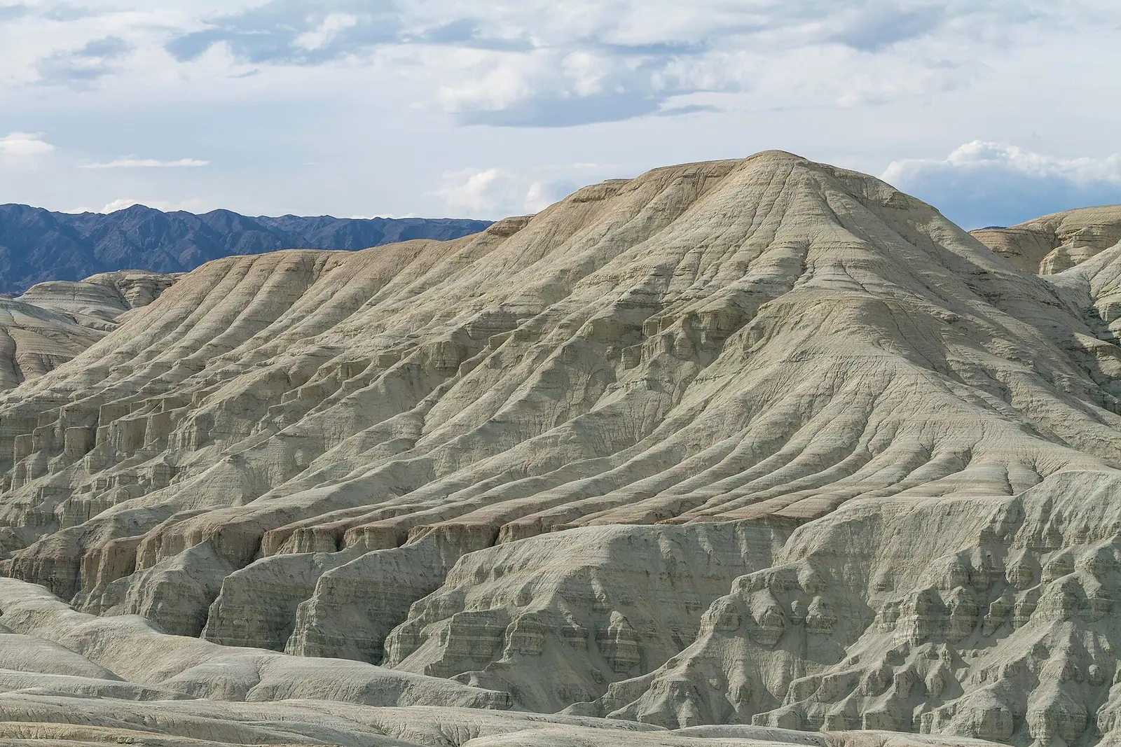
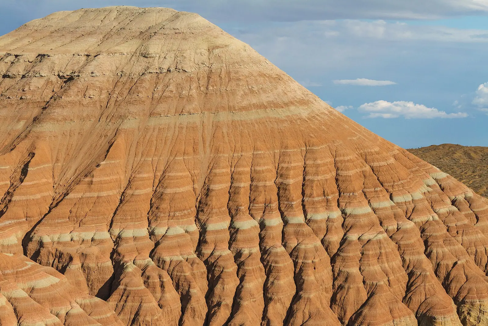
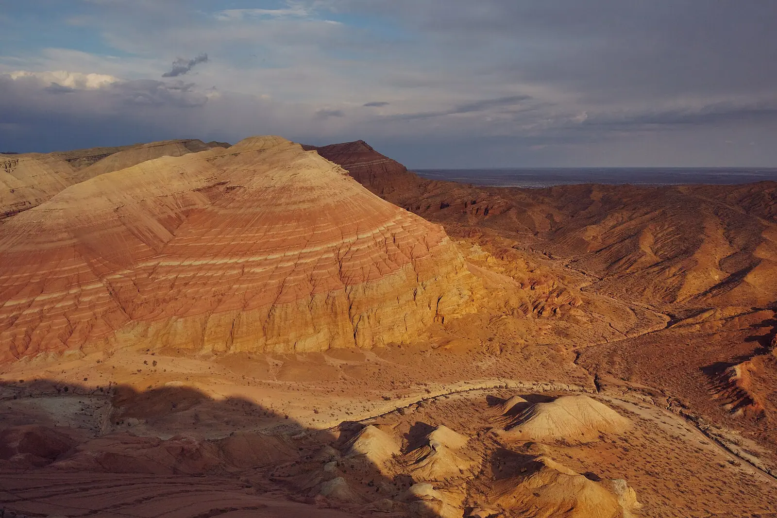
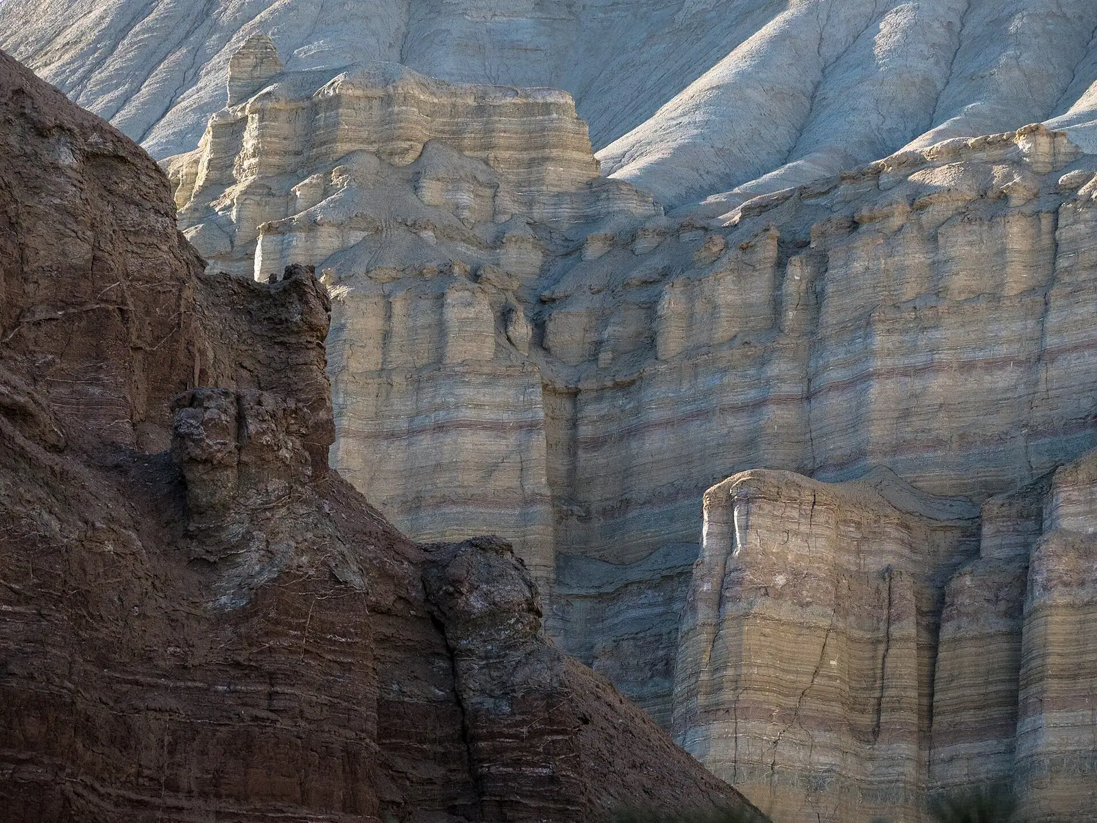
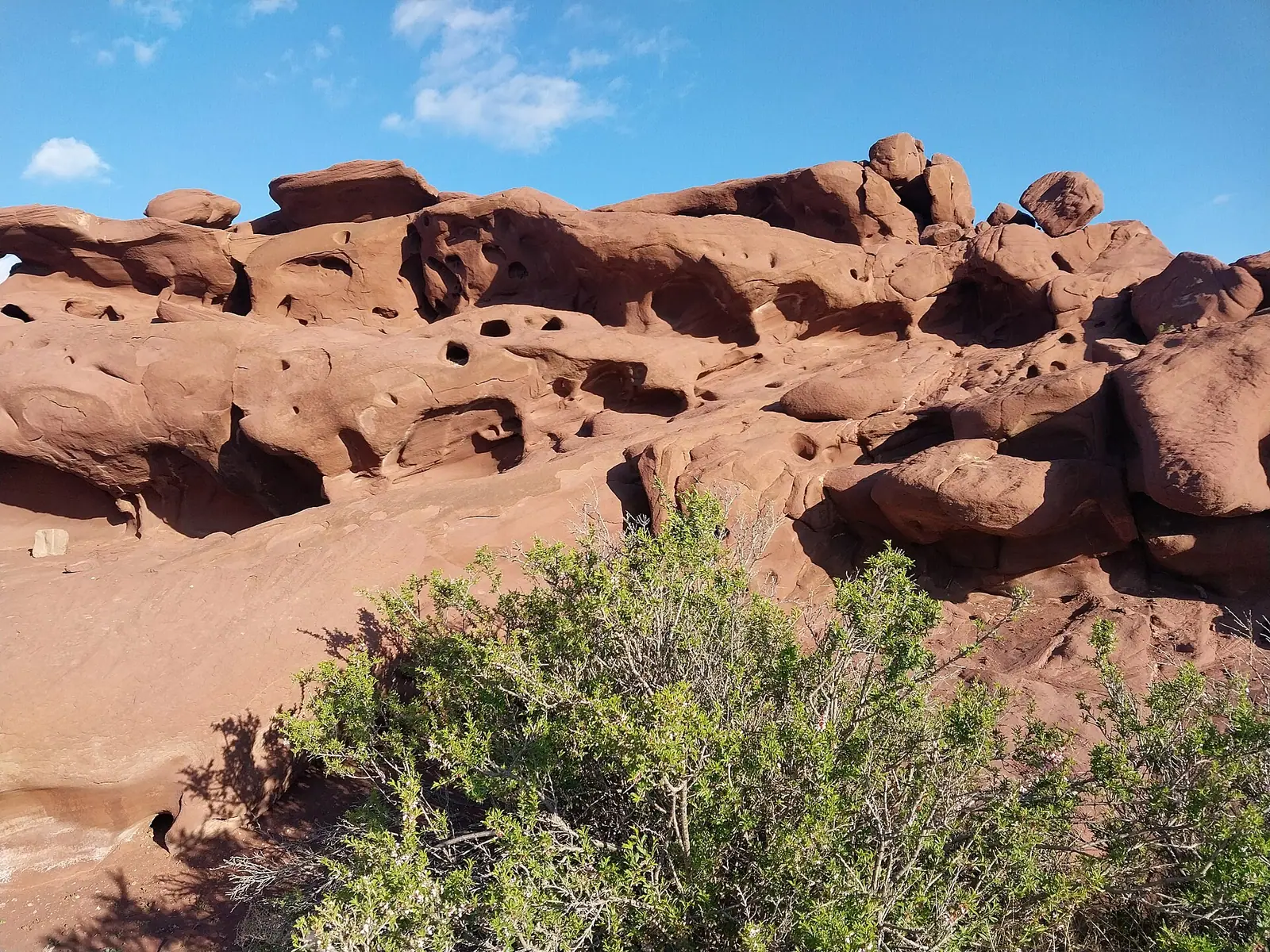
Real photos by travellers (Pexels, Unsplash, Wikimedia Commons); author and licence are given in each caption.
Aktau is a range of banded clay hills cut by canyons in Altyn-Emel National Park; its layers have yielded remains of ancient crocodiles, turtles and rhinos. Next to it lies Katutau, a dark massif of volcanic rock. Both are covered in a day on a single park route from Basshi village, about 250 km from Almaty; sources put Aktau 70–120 km of dirt road from Basshi. The best months are April–June and August–October.
What the Aktau Mountains are
Aktau means “white mountain” in Kazakh. Wikipedia describes the range as clay hills cut by canyons. White does dominate, but up close the slopes are striped: The Astana Times writes of white, red and orange horizontal bands, while Tengrinews in 2026 described cream, yellow, pink and grey layers.
Each band is a separate layer of sediment laid down at its own time and under its own conditions. That is why geologists value Aktau: Tengrinews (2020) quotes the view that its stratigraphic section, visible from space, is unique, with a long stretch of Earth history readable on a single slope.
Age and geology
| What | Figure | Source |
|---|---|---|
| Age of the deposits forming the massif | 60–70 million years | Tengrinews, 2020 |
| Sea covering the area | about 50 million years ago | Tengrinews, 2026 |
| Remains of crocodiles, turtles, giant rhinos | 25–30 million years old | The Astana Times, 2019 |
| Fossil flora | 56 Early Miocene species: spruce, birch, alder, linden, ailanthus | The Astana Times, 2019 |
| Rocks of the park as a whole | Palaeozoic, 200–400 million years | Wikipedia |
These figures conflict less than it seems: different layers of the section have different ages, and different authors are dating different parts of it. We found no detailed geological map tying the layers together in open sources.
Fossils: what has been found
According to Tengrinews (2020), remains of crocodiles, turtles, rhinos and dinosaurs have been found in the Aktau hills. Bones of animals that lived more than 50 million years ago sometimes turn up on excursions, and some finds are on display at the park visitor centre. The Astana Times adds that the rhinos were giant ones and that imprints of spruce, birch, alder, linden and ailanthus were found too — trees that do not grow in today’s desert.
None of this is a souvenir. Whatever is found in a national park stays in the park: removing stones or fossils breaks the protected-area regime.
In 2019 the Satpayev Institute of Geological Sciences proposed a geopark in Altyn-Emel with a “Lunar Landscape” route (about 2.3 km through a gypsum canyon) and a “Dinosaur Trail” (about 700 m). Tengrinews reported that footprints of Mesozoic animals were found here in the 1920s and taken to the Palaeontological Museum in Moscow.
Katutau: the extinct volcanoes
Katutau is the neighbouring massif and looks nothing like Aktau. Wikipedia says it is built of volcanic rock; Tengrinews writes that two volcanoes were active here millions of years ago. Instead of pale clay you get solidified lava, dark stone, deep cracks, strange shapes and small caves, with natural steps leading higher. Tengrinews warns that the turn to Katutau is easy to miss.
The Kosbastau willow
On the way to the mountains people usually stop at the Kosbastau tract to see an old willow, estimated at over 700 years. Its heavy branches touch the ground, root and send up new trunks. Locals regard the tree as sacred.
Getting to Aktau and Katutau
| Leg | Distance | Source |
|---|---|---|
| Almaty → Basshi | about 250 km | Tengrinews, 2026 |
| Basshi → Aktau | about 70 km / about 120 km | Trekking Club / uvu.kz |
| Basshi → Katutau | about 80 km | uvu.kz |
| Aktau ↔ Katutau | about 40 km | uvu.kz |
The permit is issued at the park administration in Basshi. According to Tengrinews (May 2026), it is valid for one day and one route chosen in advance; you can pay online via Kaspi or Halyk, and should keep the receipt. The road from Almaty follows the highway towards Ust-Kamenogorsk; after Saryozek the asphalt deteriorates, and closer to the park it gives way to gravel and dirt. Mobile reception is poor.
When to take photos
The bands of Aktau read best in soft, low light — early morning and towards sunset, when the white and pink layers do not wash out into one bright patch. Tengrinews notes that many visitors camp here for several days for the sunrises. At midday in summer the light is harsh and the heat makes walking the canyons hard. Our tips on photographing Charyn apply here too.
Season and hazards
| Month | Day | Night |
|---|---|---|
| April | +15…+25 °C | +2…+12 °C |
| July | +33…+43 °C | +15…+25 °C |
| October | +5…+15 °C | 0…+10 °C |
| January | −5…−15 °C | −10…−20 °C |
Figures from Trekking Club. The Astana Times names April–June and August–October as the best months.
The main hazard is rain. Trekking Club warns that mudflows can come down the clay gorges of Aktau in rain, and Tengrinews adds that clay roads quickly become hard going even for 4x4s. If the sky clouds over, get out of the gorges early.
Camping, fees and rules
There are no hotels near the mountains. Tengrinews advises planning on a tent or a camper van. According to uvu.kz, tents are allowed only in designated areas, and there is no fuel inside the park.
Altyn-Emel’s fee under Order No. 232 is 0.2 MCI per pedestrian and 0.9 MCI per car per day; the fee calculator gives the tenge amount. Also see what to check before visiting a park.
Nearby
- The Singing Dune — the park’s best-known sight, a separate route from Basshi.
- Charyn Canyon and how Charyn was formed — another sedimentary landscape for comparison.
- Nature near Almaty: 15 day trips.
- UNESCO heritage in Kazakhstan.
Aktau and Katutau mountains in Altyn-Emel: when to go, month by month
- January: off season
- February: off season
- March: possible
- April: best time
- May: best time
- June: best time
- July: possible
- August: best time
- September: best time
- October: best time
- November: possible
- December: off season
April–June and August–October; July days reach +43 °C, and in rain mudflows can come down Aktau's clay gorges.
Aktau and Katutau mountains in Altyn-Emel: tips before you go
- If clouds build, leave the gorges early: rain can send mudflows down the clay gorges and turns the roads heavy.
- The Basshi permit covers one day and one route; Aktau and Katutau are usually done together in a single day.
- The turn to Katutau is easy to miss, so watch for it in advance.
- Do not take stones or fossils: whatever is found in the park stays in the park.
- There are no hotels by the hills and no fuel in the park; tents go only in designated areas.
More to see nearby


Frequently asked questions
Where are the Aktau Mountains?
Why are the Aktau Mountains so colourful?
What fossils have been found in the Aktau Mountains?
How is Katutau different from Aktau?
Can I see Aktau and Katutau in one day?
When is the best time to visit Aktau?
Sources
- Alien landscapes of Kazakhstan: Bozzhyra, Aktolagay and others — Tengrinews, 14 Aug 2020 (in Russian)
- Weekend route: white mountains, an extinct volcano and a 700-year-old willow — Tengrinews, 23 May 2026 (in Russian)
- Altyn Emel National Park amazes tourists with its singing sand dunes — The Astana Times, 2019
- A geopark with dinosaurs planned in Almaty Region — Tengrinews, 21 Dec 2019 (in Russian)
- Алтын-Эмель (национальный парк) — Russian Wikipedia
- Altyn Emel National Park — Trekking Club
- Altyn-Emel guide — uvu.kz
- Order of the Minister of Ecology and Natural Resources No. 232 of 2 Oct 2024