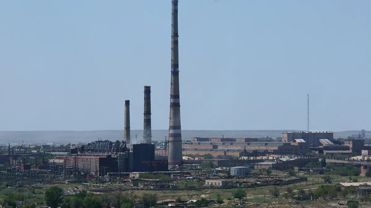
Things to do in Zhezkazgan, the copper city at the centre of Kazakhstan in photos
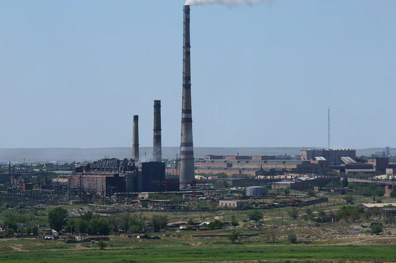
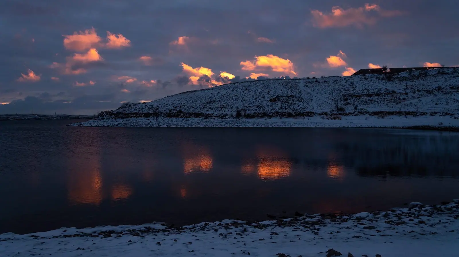
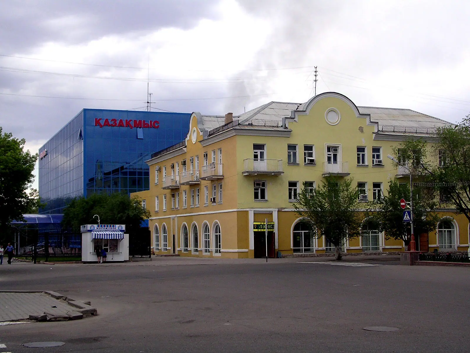
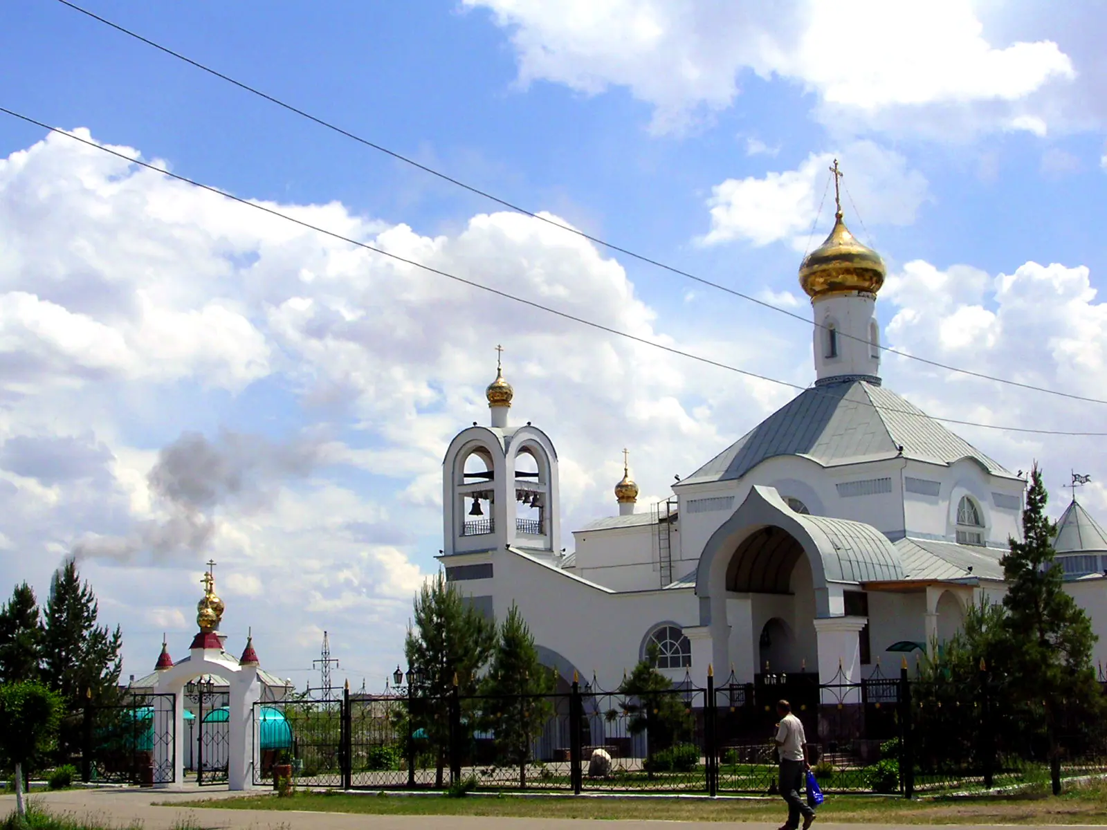
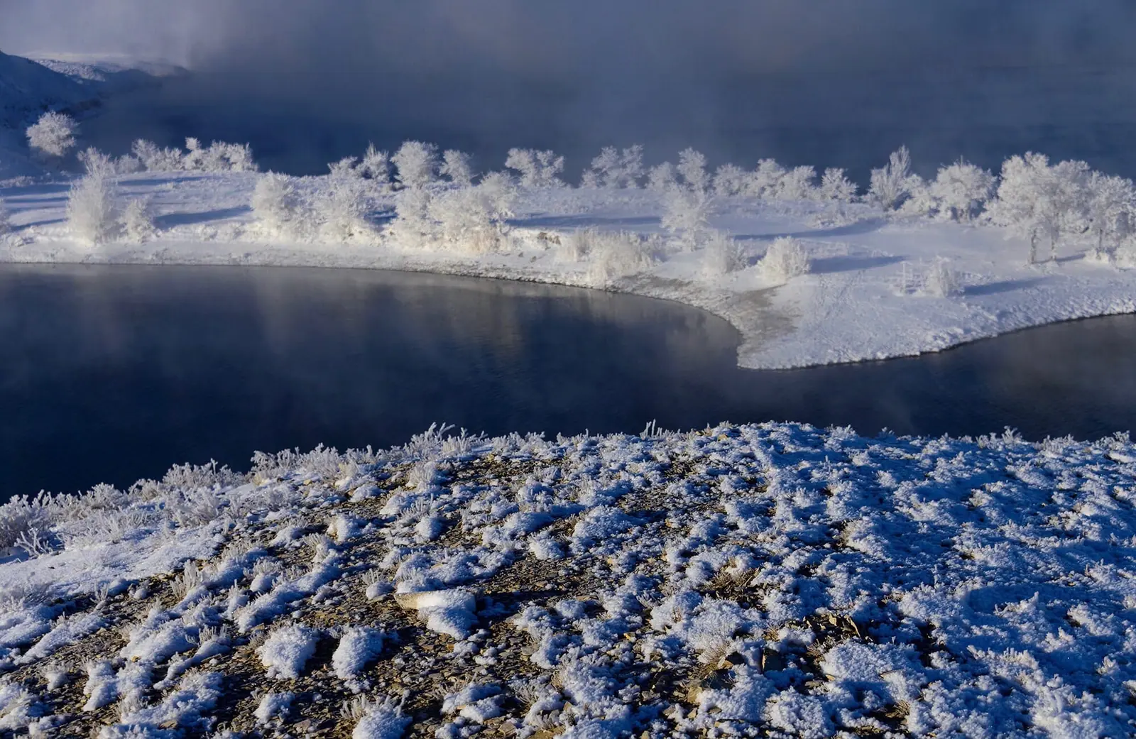
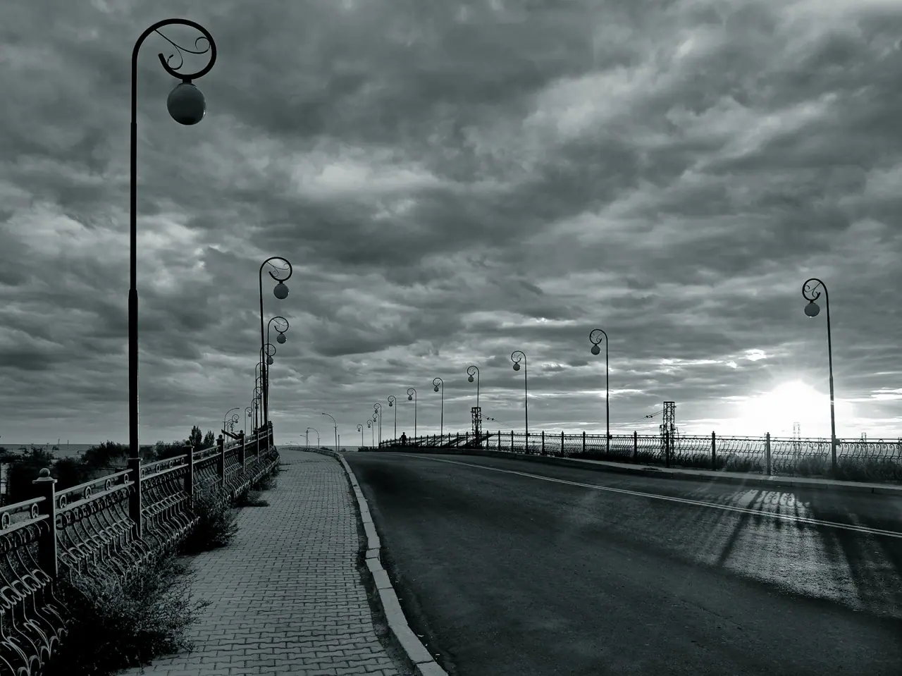
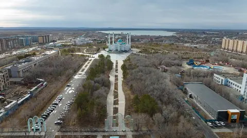
Real photos by travellers (Pexels, Unsplash, Wikimedia Commons); author and licence are given in each caption.
Things to do in Zhezkazgan are few but specific: cosmonaut trees, copper-mining history that reaches back to the Bronze Age, two museums and a theatre. Most foreign visitors will use the city as a base for the Ulytau hills, not as a destination in itself. Plan a short stop rather than a long stay.
Where Zhezkazgan is and what kind of trip it demands
Zhezkazgan (also spelled Jezkazgan) sits near the geographic centre of Kazakhstan, on the Kara-Kengir river, at the edge of the desert and semi-desert zones. It is far from both main gateways: about 464 km in a straight line from Astana. Since 8 June 2022 it has been the administrative centre of the new Ulytau Region.
The city has direct trains to Astana, Almaty, Karaganda and Kyzylorda, and an airport. Roads run to Karaganda (E018) and to Kyzylorda and Arkalyk (E123).
| Destination | Distance | Type of figure |
|---|---|---|
| Satpayev | 24 km | by road |
| Arkalyk | 333 km | by road |
| Kyzylorda | 424 km by road, 368 km straight line | both given |
| Karaganda | 535 km by road, 455 km straight line | both given |
| Astana | 464 km | straight line |
The gap between road and straight-line figures is large here, so budget travel time on the road numbers. For a traveller without a car, the train or a flight is the realistic way in. We could not confirm schedules or journey times.
What to see in the city itself
The main draw is a tradition linked to space: every cosmonaut plants a tree on Seyfullin Boulevard to mark a safe return from orbit, according to English Wikipedia. Spacecraft have landed in the flat country around the city, and the Baikonur Cosmodrome lies about 400 km to the southwest.
| Sight | What it is |
|---|---|
| Seyfullin Boulevard | Trees planted by returning cosmonauts |
| City local history museum | Local history museum |
| Kazakhmys corporation museum | Museum of the copper company that is the city’s main employer |
| S. Kozhamkulov Kazakh music and drama theatre | Kazakh-language stage |
| Kengir reservoir | 37 km² reservoir on the Kara-Kengir river |
| Zhezdy reservoir | Second reservoir, south of the city |
This is a half-day to one-day list. We could not confirm opening hours, entry rules or whether the cosmonaut trees are labelled, so check locally before planning a full day around them.
Copper, camps and cosmonauts: the history behind the city
People here used native copper as early as the Bronze Age. Finds include systems of smelting furnaces, copper ingots, and copper and bronze arrowheads. Russian Wikipedia says Herodotus mentions these deposits, and obelisks (menhirs), stone figures and ruins of old buildings stand in the surrounding steppe.
The area enters written records in Captain Rychkov’s travel notes of 1771. In 1847 the Zhezkazgan copper deposit was registered by an Yekaterinburg industrialist. English and French companies later leased the Karsakpay tract for a smelter. Equipment for it went down a 13-verst track that was lifted and relaid behind each train, and the first train reached Karsakpay in October 1917.
The modern settlement dates from 1939 in Russian Wikipedia and 1938 in English Wikipedia; it became a city on 20 December 1954. In the Soviet era it was the site of the Kengir Gulag camp, described in Solzhenitsyn’s The Gulag Archipelago. Soyuz 33 landed nearby in 1979, Luna 16 returned lunar samples close by in 1970, and Soyuz MS-10 came down near the city on 11 October 2018 after a booster failure.
Zhezkazgan as a base for the steppe and the Ulytau hills
The strongest reason to come is onward travel. The Ulytau granite hills, where the Kara-Kengir river rises, lie about 106 km in a straight line from the city; Kazakh Wikipedia gives the height of Ulytau as 1,195 m. The neighbouring mining town of Satpayev is 24 km away by road.
The steppe around the city has wormwood and feather grass, with wolves, corsac foxes, marmots, ground squirrels and jerboas; saiga are seen only occasionally. For longer runs, Baikonur is about 390 km in a straight line, and Turkestan about 501 km. These are separate trips, not day outings.
We could not confirm any public transport to Ulytau or to the Karsakpay area, so assume you will need a hired car and driver arranged in advance.
When to go: short spring, long dry autumn
The climate is sharply continental and dry, with cold winters, hot dry summers, a short spring and a long dry autumn. The figures below are computed ERA5 reanalysis normals for 2011–2020 at a grid point at 361 m, not a weather station.
Day high, °C / Night low, °C · Rain/snow, mm
A computed reanalysis normal for these coordinates, not weather station records.
Monthly figures
| Month | Day high, °C | Night low, °C | Rain/snow, mm |
|---|---|---|---|
| Jan | -8.6 | -16.2 | 12.9 |
| Feb | -7.1 | -16.6 | 15.9 |
| Mar | 4 | -6.8 | 21.4 |
| Apr | 16.5 | 3.1 | 23.4 |
| May | 23.7 | 9 | 21.3 |
| Jun | 29 | 14.8 | 15.3 |
| Jul | 31.1 | 16.9 | 12 |
| Aug | 29.1 | 15.2 | 10.1 |
| Sep | 21.9 | 8.2 | 12.2 |
| Oct | 12.4 | 0.5 | 13.6 |
| Nov | 0.4 | -7.7 | 20.4 |
| Dec | -7 | -14.2 | 19.8 |
May and September are the comfortable months, with daytime highs of about 23.7 °C and 21.9 °C. July peaks near 30.8 °C, and Wikipedia records an extreme of 43 °C in June 1988. From December to February highs stay below zero and nights fall to around −15 °C; the record low is −41.1 °C (February 1951). Modelled precipitation never tops about 23 mm a month, but the area is exposed to dust storms.
| Period | What to expect |
|---|---|
| Dec–Feb | Highs about −6 to −8 °C, nights near −15 °C |
| Mar–Apr | Fast thaw, highs 5–16 °C |
| May, Sep | Highs 21–24 °C, easiest for the steppe |
| Jun–Aug | Highs 29–31 °C, little shade outside town |
| Oct–Nov | Cooling quickly, highs 12 °C then near 1 °C |
What stands in the way
Pollution is the main caveat. English Wikipedia reports very high air pollution, citing the national hydrometeorological service, and class 5 pollution, the highest grade, for the Kengir reservoir. Plants sit between 500 m and 4,900 m from the city, mostly affecting its southern and eastern parts, though emissions fell by 33.7% between 2012 and 2016.
Zhezkazgan is a single-industry town built around copper, not a tourist centre. We could not confirm how much English is spoken or what visitor services exist, so expect to rely on Russian or Kazakh, or on a translation app.
- Opening hours and entry rules for the city local history museum and the Kazakhmys museum
- Current train timetables and flight routes to Zhezkazgan airport
- Any public transport or road conditions to Ulytau and Karsakpay
- Whether the cosmonaut trees on Seyfullin Boulevard are marked for visitors
- How much English is spoken in local services
Frequently asked questions
Is Zhezkazgan worth visiting?
How do I get to Zhezkazgan from Astana or Almaty?
What is the cosmonaut tree tradition in Zhezkazgan?
Can you swim in the Kengir reservoir?
Are Zhezkazgan and Jezkazgan the same place?
Sources
Read also
 Aktau, Kazakhstan: what to do in the Caspian port city and the desert around it
 Aktobe, Kazakhstan: what to see, the weather by month and trips into the steppe
 Almaty weather by month: temperature, rain, snow and what to pack
 Astana weather by month: how cold it gets, wind and frost
 Atyrau, Kazakhstan: weather, sights and what the city works for as a base
 Karaganda, Kazakhstan: what to see in the coal city and when to come