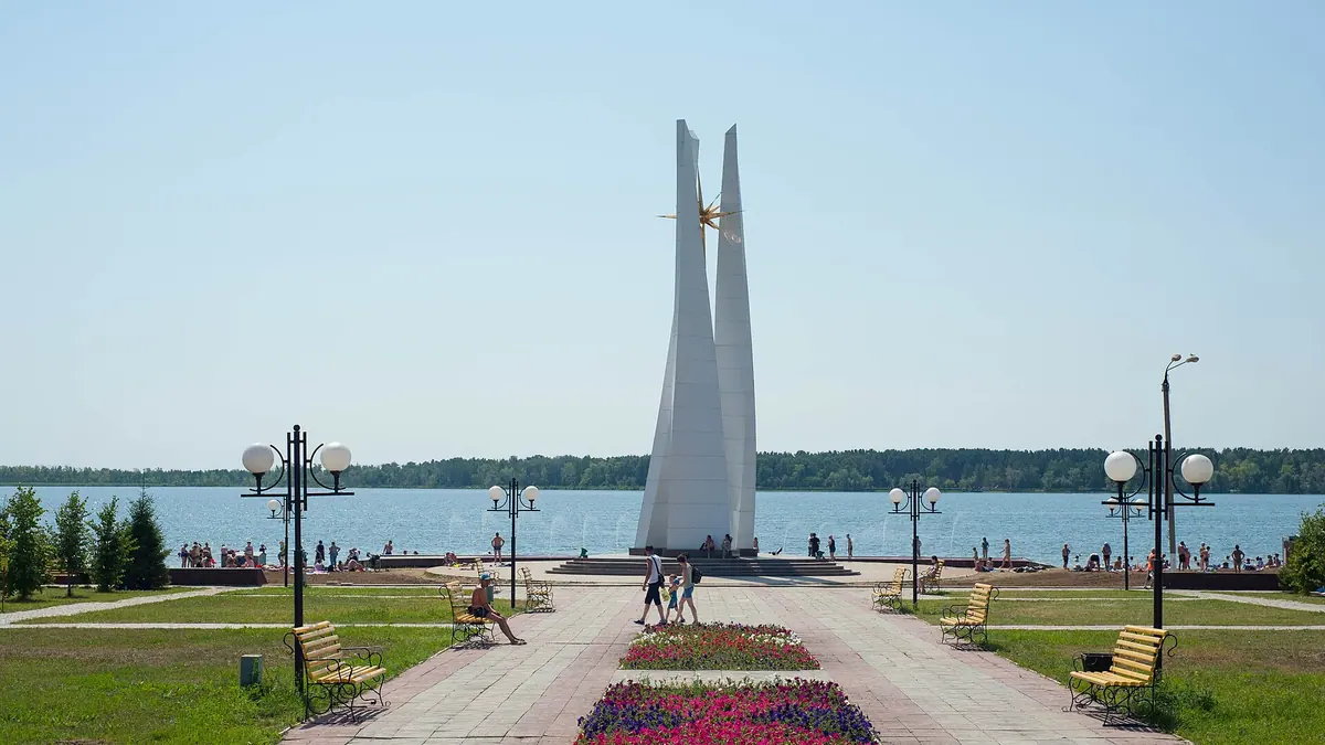
Things to do in Petropavl, the northern city on the Ishim River in photos
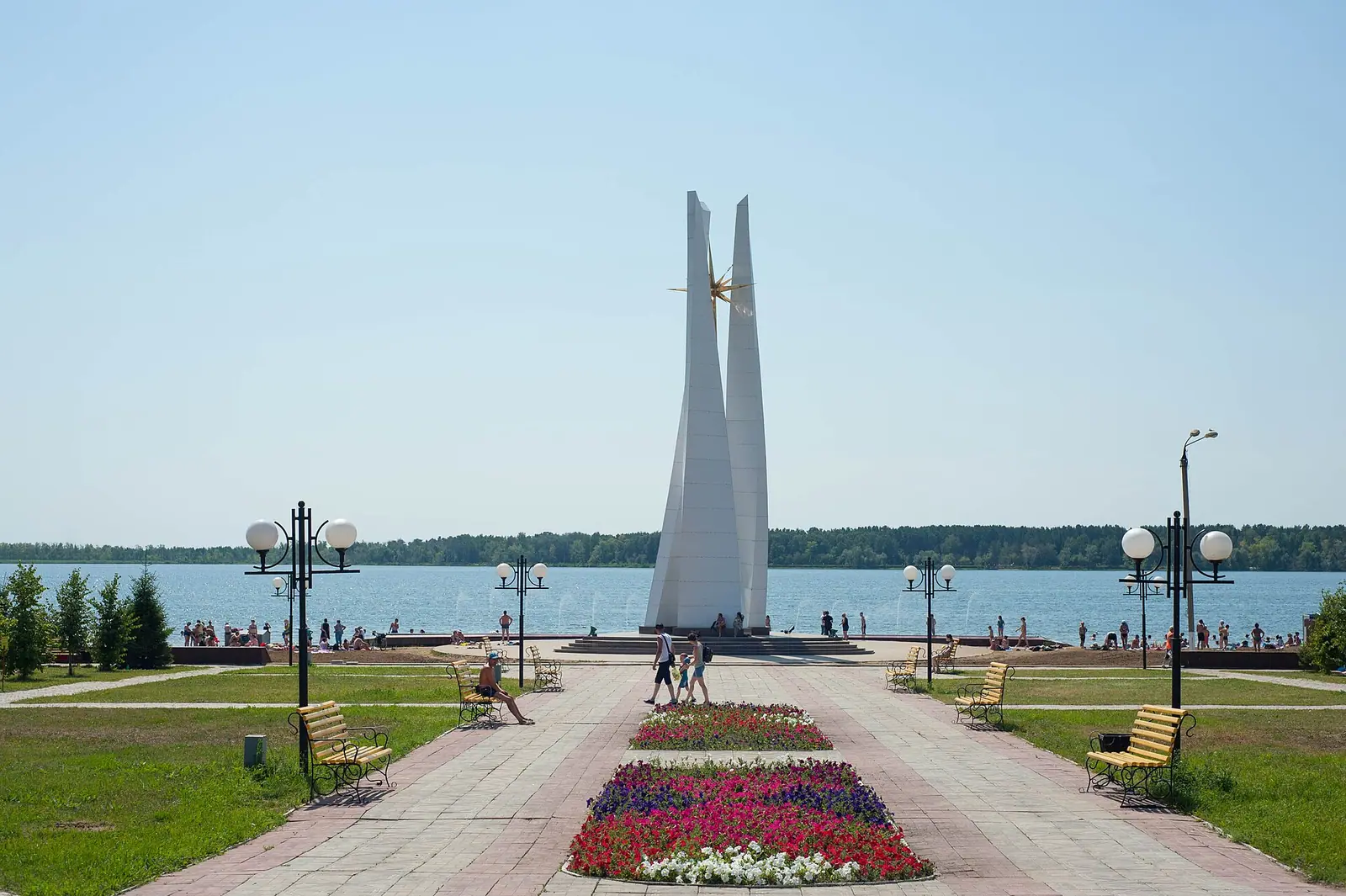
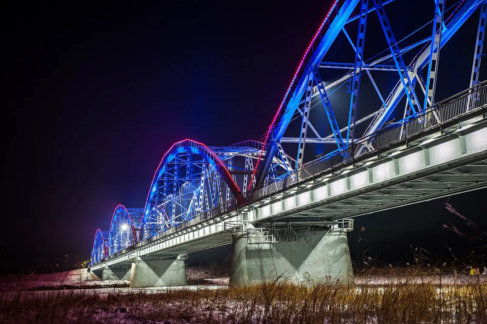
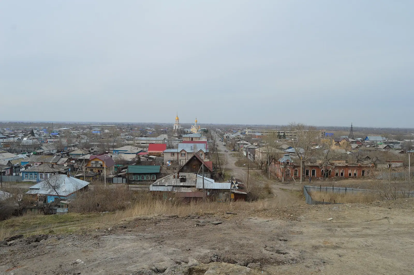
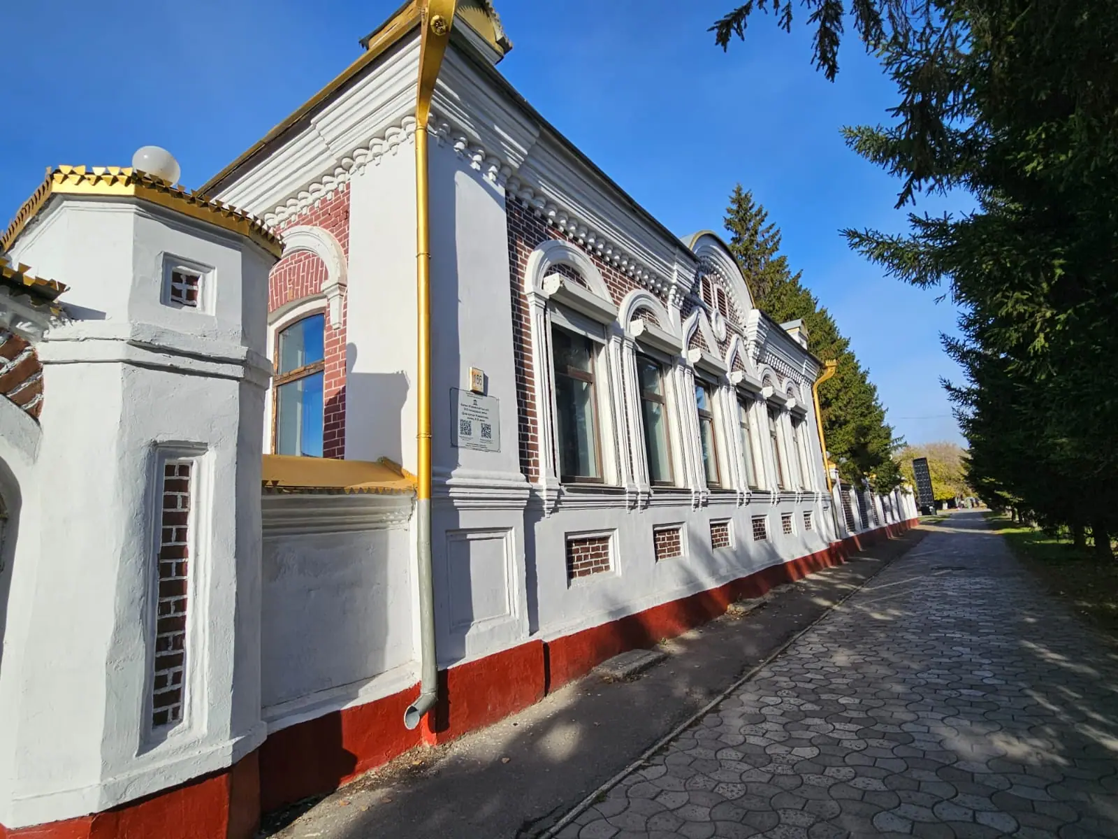
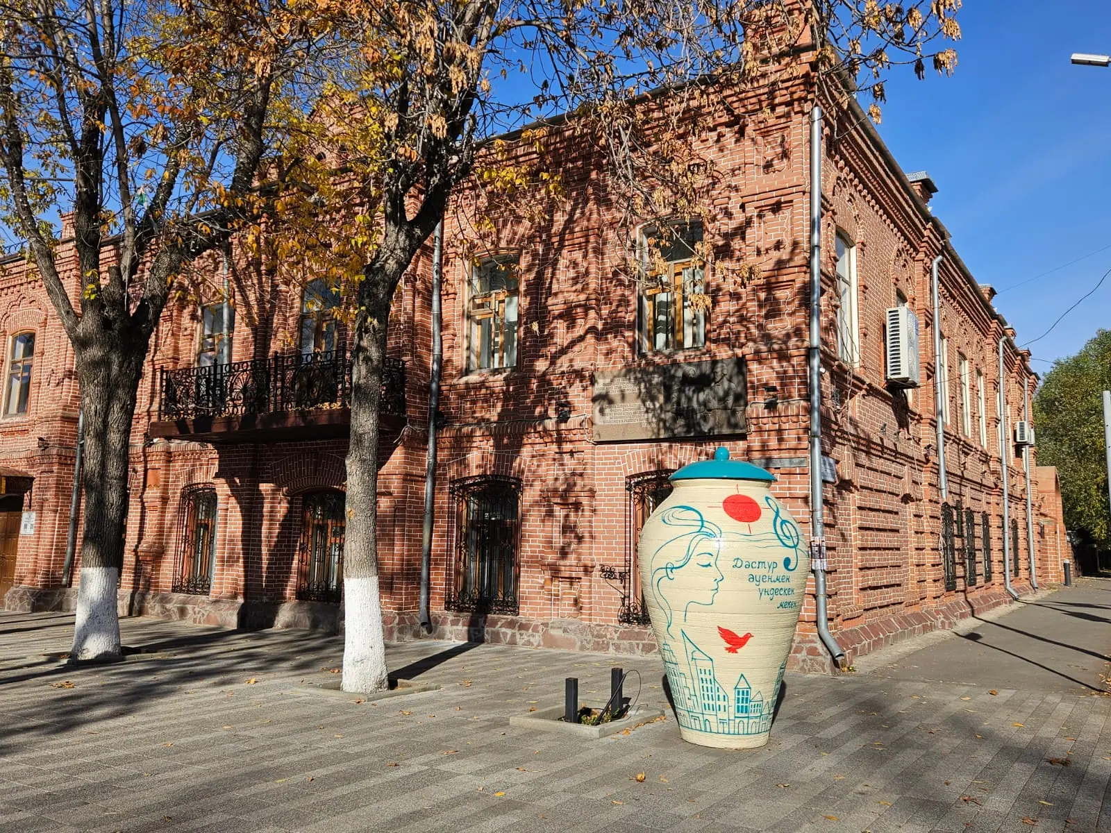
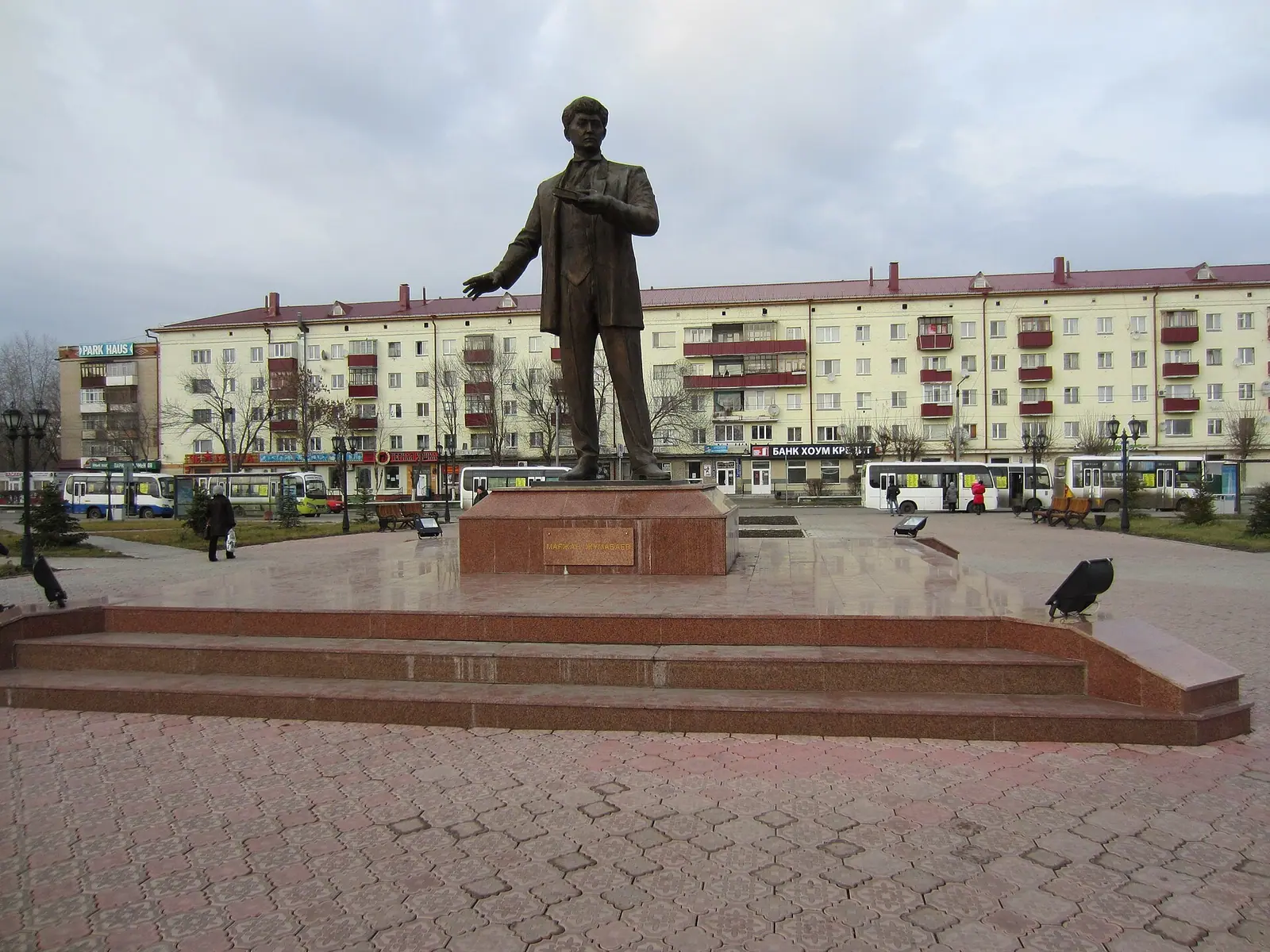
Real photos by travellers (Pexels, Unsplash, Wikimedia Commons); author and licence are given in each caption.
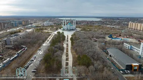
Things to do in Petropavl revolve around its history as a frontier fortress, the steep right bank of the Ishim River and the lakes and birch woods on the flat plain around it. It is the northernmost regional capital of Kazakhstan, 428 km north of Astana by road according to Wikipedia, and only about 40 km from the border with Russia. Come in summer: winters here last four to five months.
Where Petropavl is and what kind of trip it is
Petropavl sits in the south-western corner of the West Siberian Plain, on the right bank of the Ishim, the longest tributary of the Irtysh. It is the capital of the North Kazakhstan Region and is a long way from Almaty and the southern mountains that most visitors come for. It is a trip for people who want to see the Siberian, Russian-settled north of Kazakhstan, or who are passing through by rail between Kazakhstan and Russia.
The Kazakh name is Kyzylzhar, “red cliff”, after the tract where the fortress was built. The population was 222,703 at the start of 2024, according to Russian Wikipedia.
| Key fact | Figure |
|---|---|
| Founded | 1752, as the fortress of St Peter |
| City status | 1807, renamed Petropavlovsk |
| Population | 222,703 (start of 2024) |
| Area | 224.91 km² |
| Distance to the Russian border | about 40 km south of it |
| To Kokshetau | 185 km by the A1 road (about 176 km straight line) |
| To Astana | 428 km by road per Wikipedia (about 440 km straight line) |
| To Omsk | 261 km (English Wikipedia) or 278 km (Russian Wikipedia) |
The table shows that Petropavl is closer to Omsk in Russia than to Astana. The two Wikipedia editions disagree on the Omsk figure, and the straight-line distance to Astana coming out longer than the quoted road distance means at least one figure is rough.
The fortress of St Peter is the core of the city’s story
Petropavl began in June 1752, when an expedition of almost 2,000 dragoons and soldiers crossed to the right bank of the Ishim to build a fortress on the new Ishim defensive line. Two steep ravines and the steep bank of the river, which was up to 47 m wide, formed a natural barrier. The fortress was a regular hexagon of about 2 hectares, with bastions at the corners and a wall more than 1.3 km long. The Abylai Khan Residence museum has its own page with the address and hours.
Snow stopped work in early October 1752, and only the officers, 50 dragoons and 40 soldiers wintered there. Settlements soon spread outside the walls: the Upper forstadt on the hill and the Lower forstadt below it, which became the upper and lower parts of the settlement. Under Abylai Khan the fortress became a major exchange and transit trade point where routes from Russia and Central Asia met.
We could not confirm which parts of the fortress survive today or whether any are open to visitors. Check locally before planning a visit around it.
Trade, fire and the railway shaped the old town
A fire on 11 May 1849 destroyed 450 houses, and the city was rebuilt to a new plan by the architect D. S. Chernenko. Wikipedia notes that the plan ignored the soils and relief, so the lower town flooded in spring more than once. Local butter was shipped to St Petersburg, Moscow, Riga, Odesa, Samara and Vladivostok, and abroad to Britain, Germany and Denmark.
The Trans-Siberian Railway reached the city in 1896, with Petropavlovsk station built about two versts from town. At the start of the 20th century the city had nine mosques, six of stone and three of wood. In 1918 it was one of the centres of the White movement until Soviet power was restored on 31 October 1919.
Russian Wikipedia mentions the ancient Petropavlovsk burial ground, which belongs to the Alakul culture. We could not confirm whether it can be visited.
Nature around Petropavl: lakes, birch woods and the Ishim
The nature here is forest-steppe: a flat plain dotted with lakes and patches of birch. Near the city lie Bolshoe Beloe and Maloe Beloe, Pestroye, the four Kishtibish lakes and Gorkoye (Bitter Lake). Small birch woods and pine plantings grow even inside the city limits. About 175 km away in a straight line lies Syrymbet, the Ualikhanov family estate among forested hills.
This is gentle, low-relief country, at about 138 m above sea level, with no hills to climb. The nearest lake area with pine-covered hills on this site is Zerenda near Kokshetau, about 216 km away in a straight line. If you are heading south for monuments rather than landscapes, Turkestan lies far away at the other end of the country.
We could not confirm road access, facilities or swimming conditions at any of the nearby lakes.
When to go to Petropavl
June to August is the warmest window for being outdoors; the rest of the year is cooler or cold. Figures below are computed ERA5 reanalysis normals for 2011–2020 at a grid point at 138 m, not a weather station.
Day high, °C / Night low, °C · Rain/snow, mm
A computed reanalysis normal for these coordinates, not weather station records.
Monthly figures
| Month | Day high, °C | Night low, °C | Rain/snow, mm |
|---|---|---|---|
| Jan | -13 | -20.2 | 12.6 |
| Feb | -9.7 | -17.7 | 13.5 |
| Mar | -1.1 | -9.9 | 26.7 |
| Apr | 11.1 | 0.9 | 36.9 |
| May | 18.5 | 6.2 | 43.9 |
| Jun | 22.8 | 11.6 | 61.7 |
| Jul | 24.1 | 13.5 | 81.1 |
| Aug | 22.9 | 11.9 | 54.4 |
| Sep | 16.3 | 6.1 | 39.1 |
| Oct | 7 | -0.3 | 41.7 |
| Nov | -3.4 | -9.4 | 29.4 |
| Dec | -9.9 | -16.7 | 19.8 |
July averages a daytime high of about 24 °C and night lows near 14 °C, with June and August only slightly cooler. Summer is also the wettest time: July brings about 81 mm, the most of any month. Russian Wikipedia says summer runs on average from 19 May to 5 September and that single days can reach 35–40 °C.
Winter starts in early to mid November and lasts to the second half of March. January daytime highs average about −12.5 °C and nights about −19 °C, and Wikipedia mentions frosts down to −35 to −40 °C lasting from a few days to a week or more, with 40–50 cm of snow cover. The weather station near the city, with records from 2005, logged a low of −43.0 °C on 24 January 2006; the Kazakhstan cold map compares Petropavl with other cities. Ice is common in spring and autumn.
| Season | What to expect |
|---|---|
| Late March–May | Clear, dry, sunny; frost can return. May highs near 19 °C |
| June–August | Warm, highs 22–24 °C, wettest months, occasional heat |
| September | Highs near 15 °C, rain season begins; a short warm dry spell is typical |
| October–November | Overcast, highs drop from 6 °C to below zero, ice possible |
| December–February | Long frost, highs −9 to −12.5 °C, few sunny days |
For lakes and woods, plan for summer. A winter visit only makes sense for the city itself and demands serious cold-weather clothing.
Getting there and the practical gaps
Petropavl is a transport junction: the Kazakh Wikipedia describes it as a major hub of road, air, river and rail links, and it lies on the Trans-Siberian line. By road it is on the A1, 185 km from Kokshetau and 428 km from Astana.
We could not confirm train or bus schedules, flight connections, or how to reach the lakes without a car. We could not confirm how much English is spoken in hotels or transport.
- Which parts of the 1752 fortress survive and whether they can be visited
- Train, bus and flight schedules to and from Petropavl
- Road access and facilities at the nearby lakes such as Bolshoe Beloe and Pestroye
- Whether the ancient Petropavlovsk burial ground is open to visitors
- Museum names and opening hours in the city
Frequently asked questions
What is Petropavl known for?
How far is Petropavl from Astana?
Is Petropavl close to Russia?
How cold is Petropavl in winter?
What is the other name of Petropavl?
Sources
Read also
 Aktau, Kazakhstan: what to do in the Caspian port city and the desert around it
 Aktobe, Kazakhstan: what to see, the weather by month and trips into the steppe
 Almaty weather by month: temperature, rain, snow and what to pack
 Astana weather by month: how cold it gets, wind and frost
 Atyrau, Kazakhstan: weather, sights and what the city works for as a base
 Karaganda, Kazakhstan: what to see in the coal city and when to come