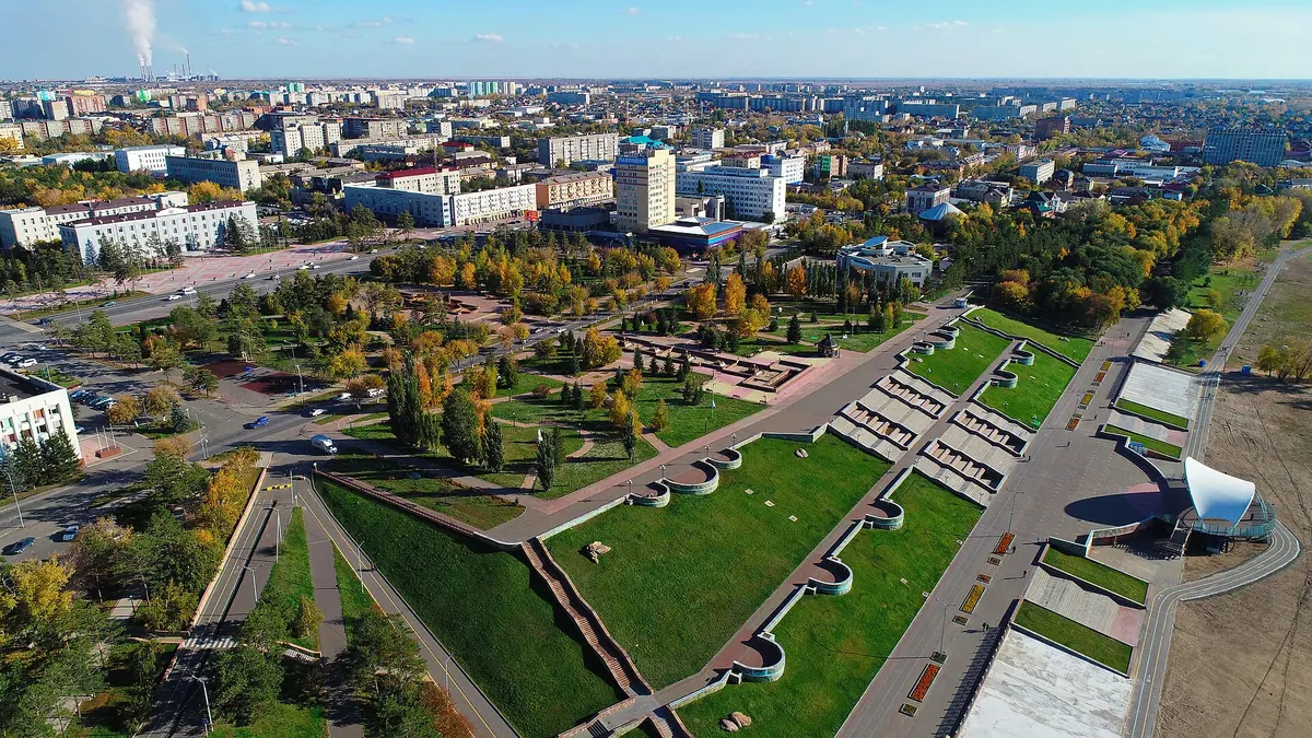
Pavlodar, Kazakhstan in photos
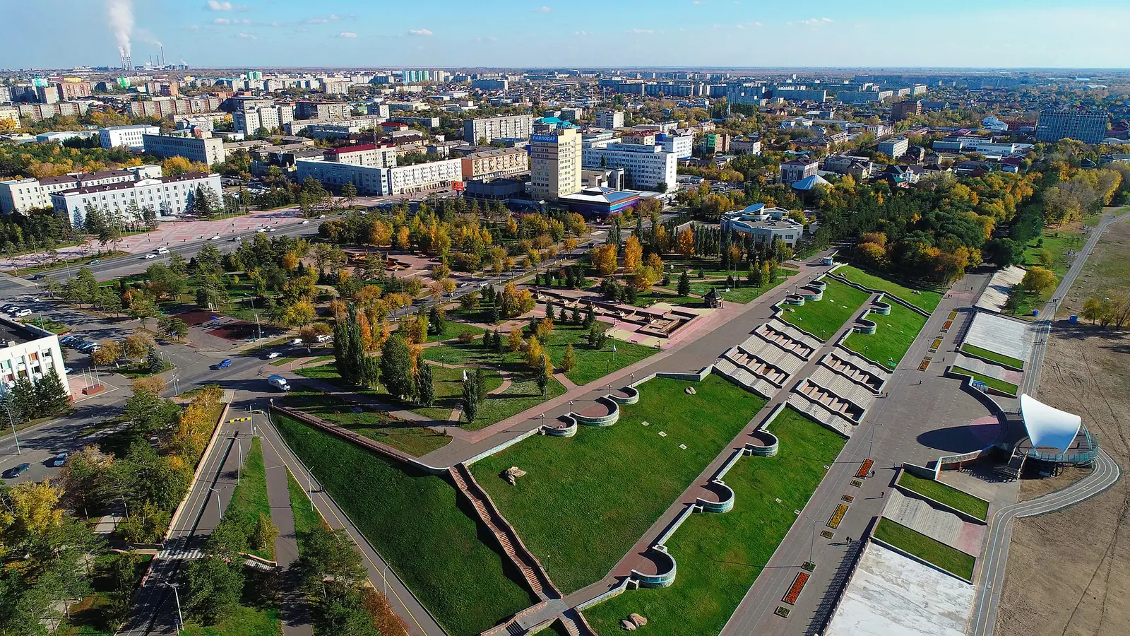
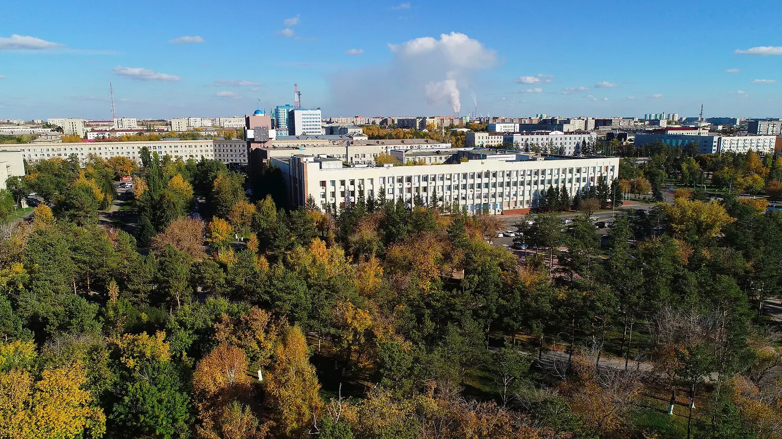
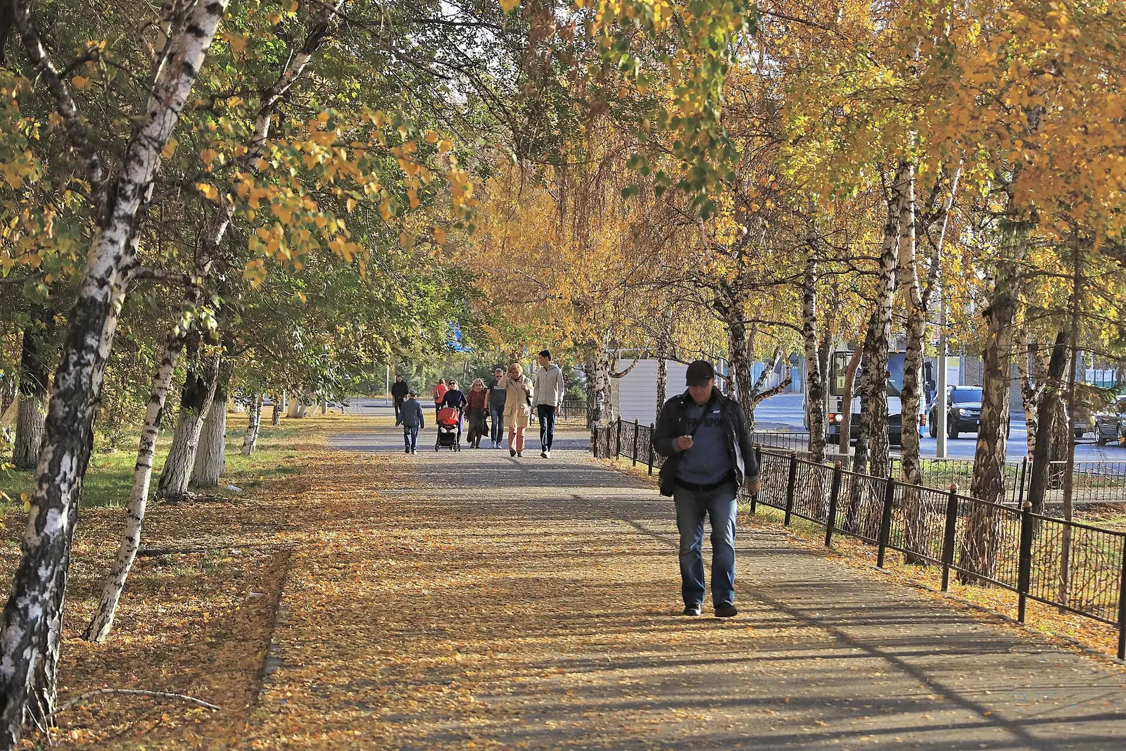
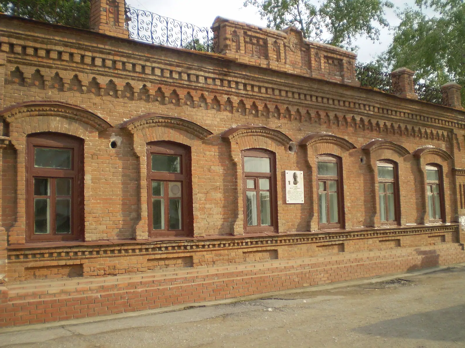
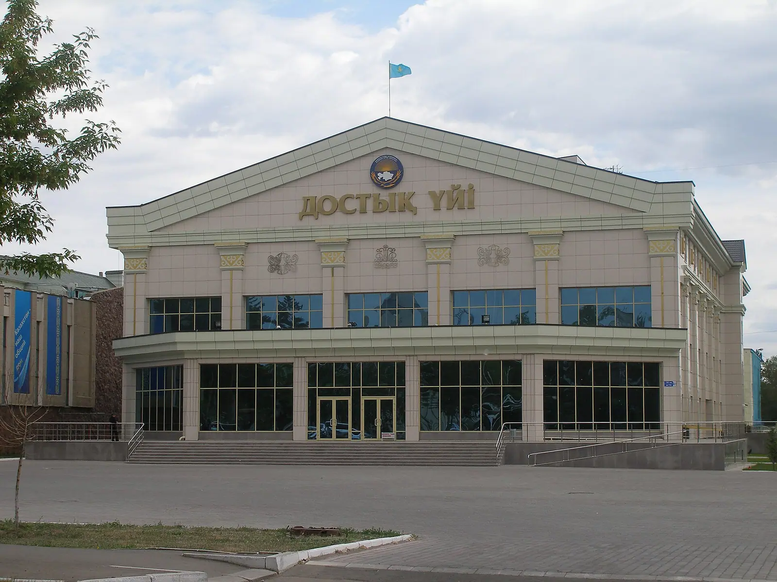
Real photos by travellers (Pexels, Unsplash, Wikimedia Commons); author and licence are given in each caption.
Pavlodar weather in Kazakhstan swings hard: summer days average about 25–26 °C, while January highs sit near −14 °C. The city is a regional capital on the Irtysh River in the north-east of the country. A visit centres on a few landmarks, the river embankment and summer boat rides, not on wild nature.
Is Pavlodar worth a detour?
Pavlodar suits travellers already in northern Kazakhstan who want a calm river city, not a nature destination. Wikivoyage calls it a fairly quiet and uneventful former Soviet city. It names the mosque, the Orthodox cathedral and the Second World War memorial park as the main sights.
The city lies on the right bank of the Irtysh, about 399 km in a straight line from Astana. Wikipedia gives 450 km north-east of the capital and 405 km south-east of Omsk in Russia. We could not confirm a distance from Almaty, which is far to the south. Semey is about 310 km in a straight line and Karaganda about 387 km.
Pavlodar is one of Kazakhstan’s large industrial centres, with aluminium, oil refining, chemicals and power plants. About 370,000 people lived here at the start of 2025. Expect a working city with a long riverfront, not a resort.
Things to do in Pavlodar: the main sights
Most of what a visitor will see sits in the centre and along the Irtysh, and Wikivoyage notes that many places are within walking distance. The table lists the sights named in sources. The hours are from a March 2021 Wikivoyage update, so treat them as a guide only.
| Sight | What it is | Practical note |
|---|---|---|
| Mashkhur Jusup Mosque | Built in 2001; minarets around a sky-blue dome meant to resemble the top of a yurt | Named after a Kazakh poet and historian |
| Blagoveshchensky (Annunciation) Cathedral | Orthodox cathedral, completed in 1999 | Wikivoyage mentions 54 icons |
| Embankment and riverside beach | Promenade and viewing deck over the Irtysh | Beach use only in the warm months |
| Old River Station | Reached by the riverside path heading south | Summer boat rides, per Wikivoyage |
| Regional history museum | Region’s natural history and Soviet industrial past | Lenin St 147; Mon–Fri 09:00–18:00, weekends 10:00–18:00 (2021) |
| Regional Art Museum | Art plus models of prehistoric animals | Toraygyrov St 44/1; daily 10:00–18:00 (2021) |
| Museum of Military Glory and WWII memorial park | Military relics and a memorial statue | We could not confirm opening hours |
| Bagayeva house museum | Home of a photographer who documented Kazakhstan | Lenin St 200 |
Both the mosque and the cathedral are working places of worship. Dress modestly and follow any rules posted at the door. There are also old theatres, including the Chekhov theatre, and concert halls. FC Irtysh plays in the top Kazakh league at the 12,000-seat Central Stadium, with a season running from March to October.
The Irtysh floodplain and steppe around the city
The nature near Pavlodar is the river and its floodplain, set in flat dry steppe at roughly 120–150 m above sea level. Within the city the Irtysh is usually 200–500 m wide, and it widens to 1.1–1.3 km where it splits into channels.
White and black poplars, willows and birches grow in the floodplain, with wild rose, guelder rose, bird cherry and currant underneath. Otters and muskrats live along the river. Ducks, geese, herons and gulls nest in the floodplain woods, and the city lies on a seasonal bird migration route. Around the city the steppe is feather-grass country, home to wolves, foxes, corsac foxes, marmots and roe deer.
Wikipedia says relict ribbon pine forests begin south-east of the city. We could not confirm how far away they are or how to reach them without a car. Shallow salt lakes around the city often dry out in summer, so do not plan a lake trip around them.
Pavlodar, Kazakhstan weather: when to go
June to August is the only comfortable stretch for walking the embankment and taking a boat on the river. May and September are cooler but workable. The figures below are 2011–2020 normals from the ERA5 reanalysis at a grid point at 135 m. They are not weather-station readings, though the grid point sits at the city’s own altitude.
Day high, °C / Night low, °C · Rain/snow, mm
A computed reanalysis normal for these coordinates, not weather station records.
Monthly figures
| Month | Day high, °C | Night low, °C | Rain/snow, mm |
|---|---|---|---|
| Jan | -13.5 | -21.1 | 8.7 |
| Feb | -10.4 | -18.6 | 8.9 |
| Mar | -0.8 | -9.7 | 17.2 |
| Apr | 14.5 | 1.7 | 16.8 |
| May | 20.5 | 6.9 | 24.3 |
| Jun | 26 | 13.9 | 44.9 |
| Jul | 26.8 | 15.4 | 62.7 |
| Aug | 25.6 | 12.9 | 33.5 |
| Sep | 18.6 | 6.6 | 24.5 |
| Oct | 9.1 | 0 | 26.3 |
| Nov | -2.8 | -9.9 | 19.3 |
| Dec | -9.5 | -17.1 | 16.8 |
January averages −13.5 °C by day and −21.1 °C at night, and only March brings highs near zero. Wikipedia records absolute lows of −45 to −47 °C. Our cold map of Kazakhstan puts Pavlodar among the three cities where −40 °C comes most often: its station logged it in 8 winters out of 35, with a low of −46 °C on 16 December 2012. Winter brings frequent wind and blizzards, and snow usually lies from November to early or mid-April. Summer days peak at 26.8 °C in July, which is also the wettest month at about 63 mm. Hot air from the Central Asian deserts can bring dry winds and dust storms. The whole year is dry, with about 313 mm in the ERA5 data against 303 mm on Wikipedia.
| Season | Day / night (ERA5) | What it means for a visit |
|---|---|---|
| Dec–Feb | about −13 to −9 °C / −20 to −16 °C | Museums and indoor sights only; dress for wind |
| Mar–Apr | −0.2 to 14.4 °C / −9 to 1.4 °C | Snowmelt; late frosts are typical |
| May–Sep | 18.3 to 26.5 °C / 7.5 to 16.4 °C | River, beach and boat season; July is the wettest month |
| Oct–Nov | 8.8 to −2.7 °C / 0.9 to −8.8 °C | Early frosts; snow cover usually settles in November |
Getting to Pavlodar and around without a car
Pavlodar is reachable by train and bus, and there are flights too, so you do not need to drive. The options below are from Wikivoyage. Check current schedules before you travel.
| From | How | Note |
|---|---|---|
| Almaty | Train via Astana or via Semey | Via Astana daily; via Semey every other day |
| Astana | Evening train or bus | Several buses a day |
| Omsk, Russia | Bus | — |
| Astana, Almaty | Air Astana flights | Pavlodar Airport serves the city |
| Moscow | S7 flights | — |
In town, the tram carries most local transport. It has run since 1965, and Wikipedia gives an 89 km network with a 60% share. There are also 21 bus routes and 13 minibus (marshrutka) routes, plus taxis. As of September 2024, Wikivoyage reports 4G from Beeline and Kcell and 5G from Tele2, which helps with map and translation apps. We could not confirm how much English is spoken.
How a salt fort became an industrial city
The modern city began in 1720 as the Koryakovsky outpost on the Irtysh fortress line. Its economy rested on salt from the nearby lakes, worked from 1747. It became a Cossack settlement in 1838 and was renamed Pavlodar in 1861, after Grand Duke Paul Alexandrovich. The name means “gift of Paul”.
The medieval past is less certain. English Wikipedia links the site to Imakia, a centre of the Kimek–Kipchak confederation. Russian Wikipedia says only that some researchers place Imakia near the modern city. A fire in 1901 destroyed much of the town, which was rebuilt in brick.
Growth came after 1955 with the Virgin Lands campaign. That era brought the aluminium plant, opened in 1964, and the oil refinery, opened in 1978. Soviet-era deportations brought Germans, Poles, Chechens, Ingush, Koreans and others. Pavlodar remains one of Kazakhstan’s most ethnically mixed cities.
Pavlodar as a base for nature trips: the limits
Pavlodar is a poor base for the landscapes most visitors come to Kazakhstan for. The places covered on this site are all several hundred kilometres away. The nearest is Zerenda, a lake among pine hills near Kokshetau, about 534 km in a straight line.
Towards the east, Lake Zaysan is about 694 km in a straight line and the Rakhmanov Springs in the Altai about 737 km. Lake Balkhash is about 659 km in a straight line. Road distances will be longer, and each is a separate trip, not a day out from Pavlodar. Treat the city as a stop on a northern rail route, with the Irtysh floodplain as its nature.
Salty Lake Moiyldy, with its mud and year-round resort, is 15 km from the city.
- Current timetable and season for the summer boat rides from the old River Station
- Visiting hours and rules for visitors at the Mashkhur Jusup Mosque and the Annunciation Cathedral
- Distance to the ribbon pine forests south-east of the city, and whether public transport reaches them
- Current train, bus and flight schedules from Almaty, from Astana and from Omsk
- Opening hours of the Museum of Military Glory and whether the 2021 museum hours still apply
Frequently asked questions
How cold is Pavlodar in winter?
What is the weather like in Pavlodar in summer?
How far is Pavlodar from Astana?
What is Pavlodar known for?
Can you swim in the Irtysh in Pavlodar?
Sources
Read also
 Aktau, Kazakhstan: what to do in the Caspian port city and the desert around it
 Aktobe, Kazakhstan: what to see, the weather by month and trips into the steppe
 Almaty weather by month: temperature, rain, snow and what to pack
 Astana weather by month: how cold it gets, wind and frost
 Atyrau, Kazakhstan: weather, sights and what the city works for as a base
 Karaganda, Kazakhstan: what to see in the coal city and when to come