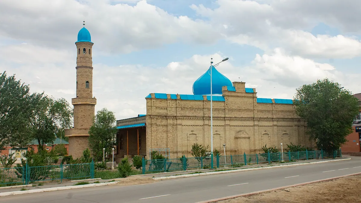
Things to do in Kyzylorda, the desert city on the Syr Darya in photos
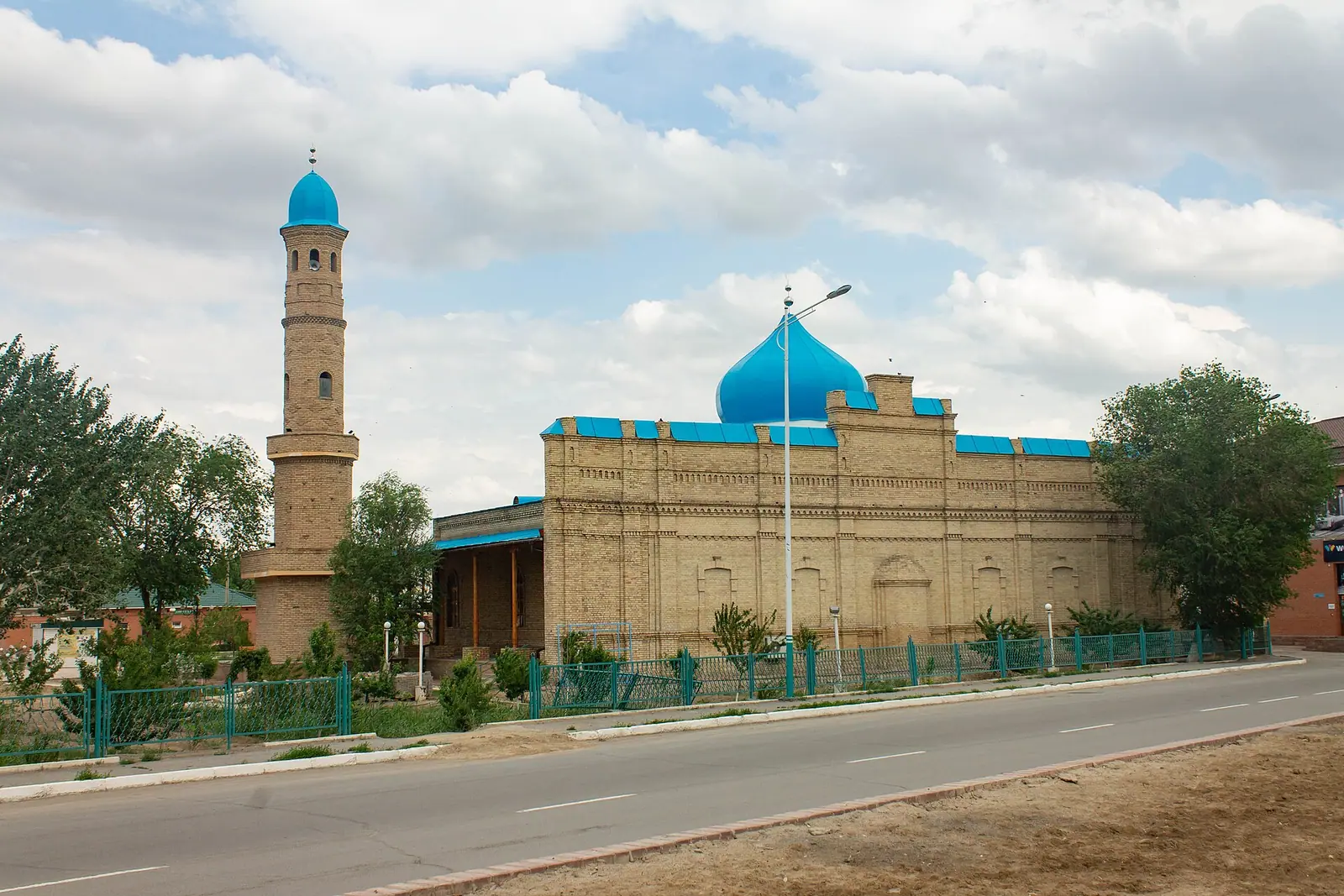
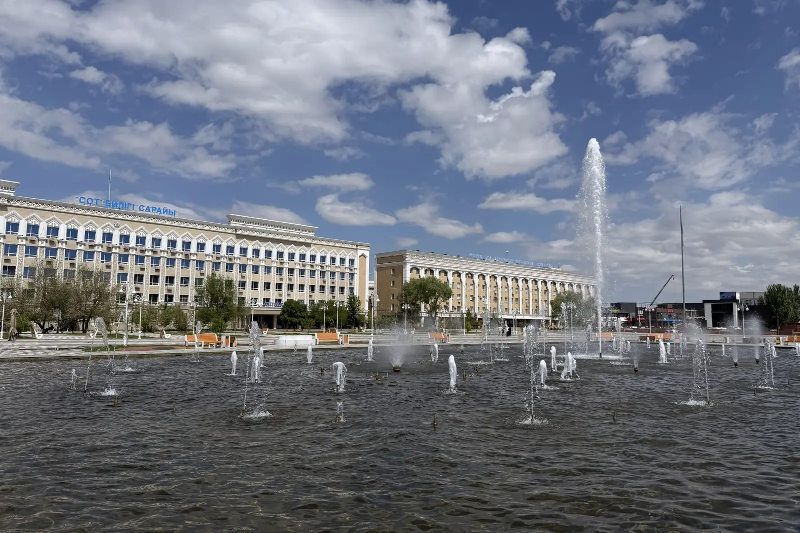
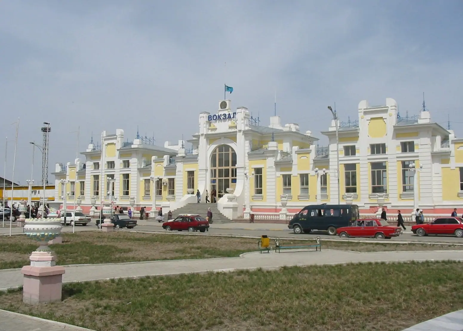
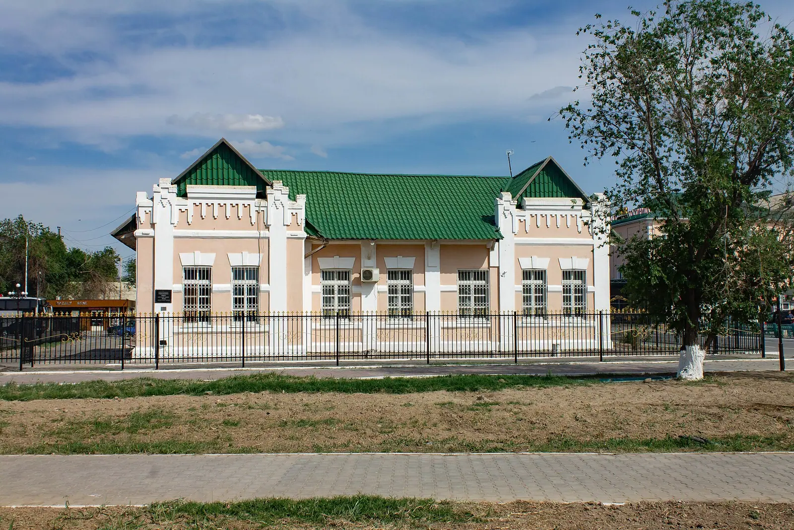
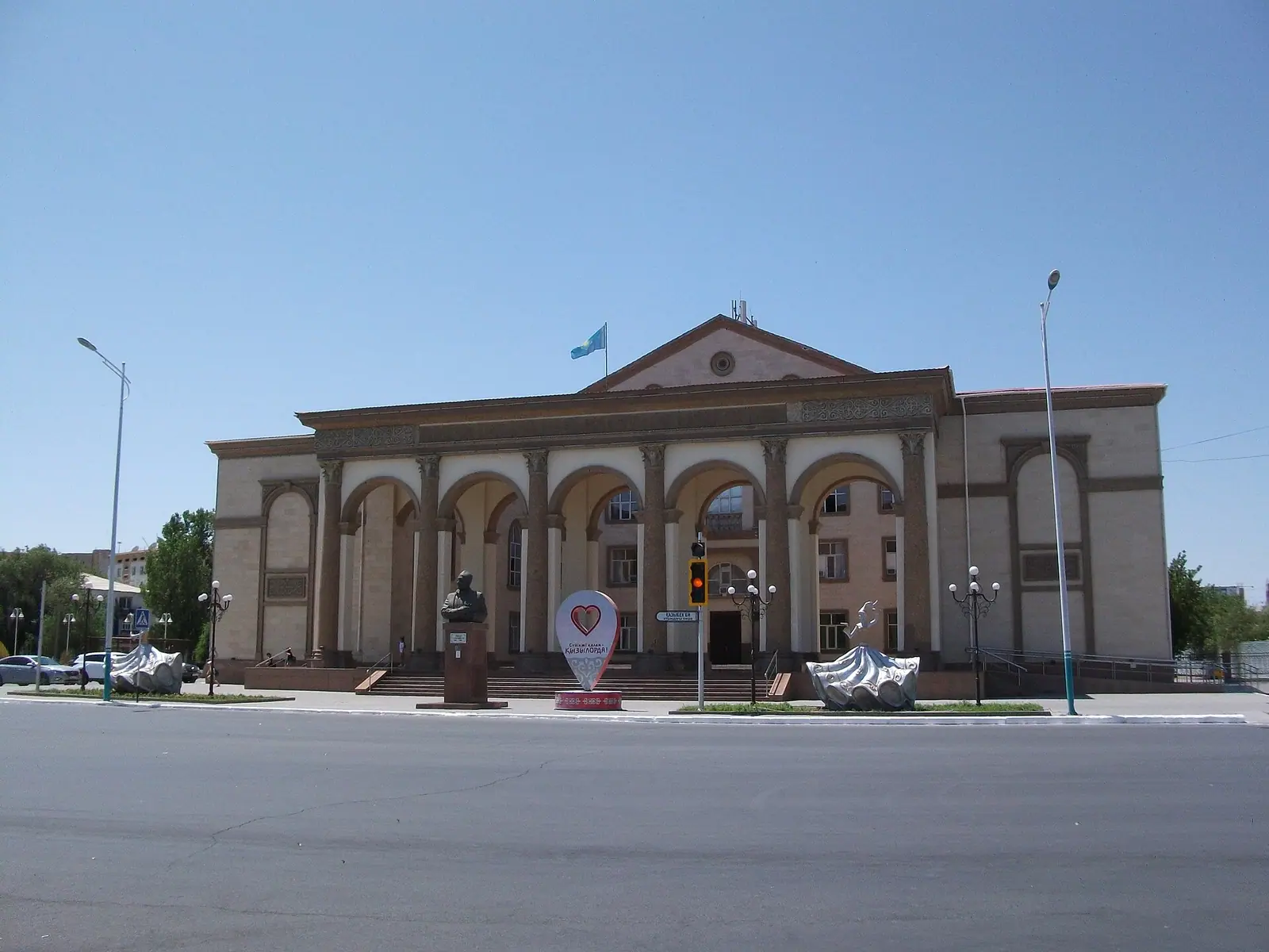
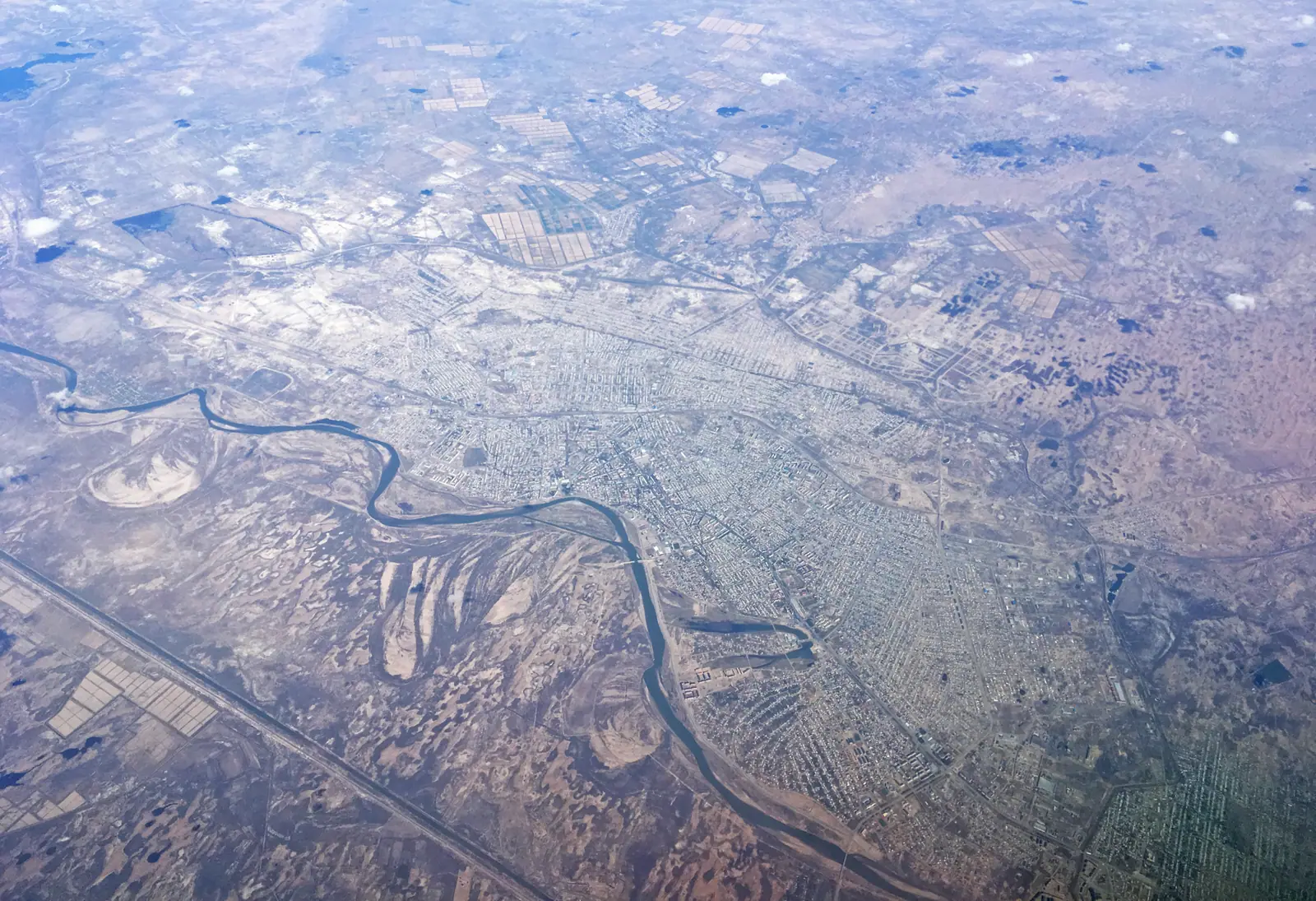
Real photos by travellers (Pexels, Unsplash, Wikimedia Commons); author and licence are given in each caption.
Things to do in Kyzylorda fit into a day: a late 19th-century mosque and church, the 1905 railway station, the regional museum and a walk along the Syr Darya. The city matters more as a base. It sits on the railway toward the Aral Sea, Baikonur and the old towns around Turkistan, in the desert of south-central Kazakhstan.
Where Kyzylorda is and what kind of trip it is
Kyzylorda is the capital of Kyzylorda Region in south-central Kazakhstan, about 830 km south-west of Astana, according to Russian Wikipedia. It lies on both banks of the Syr Darya at 125–135 m above sea level, on a flat plain of irrigated rice fields, sand ridges and salt flats. Turkistan is about 278 km away in a straight line and Shymkent about 430 km.
This is a rail-and-taxi city, not a hiking base. Wikivoyage describes it as predominantly Kazakh-speaking, with Russian also used, and warns not to assume English will be understood. Wikivoyage says several central sights are within walking distance of the railway station, and taxis and local transport wait outside it; trips out of town need planning.
| Key data | |
|---|---|
| Population | about 242,000 (2020) to 316,000 (2023); sources differ on city limits |
| Founded | 1817 or 1820 as the Kokand fort Ak-Mechet (sources disagree) |
| River | Syr Darya, 150–200 m wide, 2–5 m deep |
| Time zone | UTC+5 since 21 December 2018 |
| Airport | Korkyt Ata, about 12 km south-east of the centre |
The population spread is a matter of definition: the city alone versus the city with villages under its administration.
Kyzylorda attractions in the centre
The main sights are compact, and Wikivoyage notes several are within walking distance of the railway station. The list below draws on Wikipedia and Wikivoyage.
| Sight | What it is |
|---|---|
| Aitbai Mosque | Historic mosque, 1878 |
| Holy Kazan Church | Orthodox church, 1896 |
| Railway station | Building from 1905, when the Orenburg–Tashkent line opened |
| Regional history museum | 2A Auezov Street |
| Central City Park | Amusement park and open-air stage |
| War Memorial and Eternal Flame | Just north of the central park, with a large artillery piece |
| Akmechet Mosque | Mosque named after the city’s old name |
| Monuments | Korkyt Ata, Zhalantos Batyr, Koblandy Batyr, Bukharbai Batyr, singer Batyrkhan Shukenov |
For a short stop, the station, the park and the museum make a sensible half-day loop. If you visit the mosque or church, dress modestly and keep quiet. We could not confirm the museum’s opening hours or admission.
A former capital with four names
Kyzylorda was the capital of the Kazakh autonomous republic from 1925 to 1927; the capital had moved here from Orenburg; the actual move to Alma-Ata only happened in 1929, according to Russian Wikipedia. The Kazakh Drama Theatre was founded here in 1926, and the state archive in 1928 keeps papers from the capital years.
The names track the region’s history. The Kokand fort was Ak-Mechet, meaning white mosque. After Russian troops under General Perovsky took it in 1853 it became Fort Perovsky, then the town of Perovsk. Ak-Mechet returned in 1922, Kzyl-Orda (red capital) came in 1925, and in 1997 the Russian spelling changed to Kyzylorda.
The Syr Darya and the desert around the city
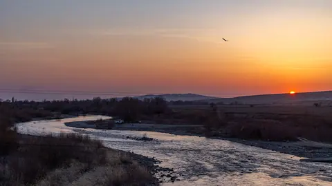
The river is the city’s natural feature. Kyzylorda stretches more than 10 km along the Syr Darya, whose banks rise 5–7 m. Its channels shift, leaving oxbow lakes that fill in spring and dry out by late summer, and the river freezes in December and breaks up in February or March.
On the islands and floodplain grow tugai, thickets of thorny trees 3–7 m high, with reeds up to 5 m in wet hollows fed by rice-field runoff. Beyond lies northern wormwood desert with tamarisk and camel thorn. The desert turns green only in spring, and by early June the grass has burnt out. A Soviet-era dam, the Kyzylorda hydro scheme of 1956, stands by Tasboget near the city; we could not confirm whether visitors can access it.
Kyzylorda as a base: Aral Sea, Baikonur and the Syr Darya towns
Kyzylorda’s value for most travellers is what lies along the railway. Wikivoyage lists trains to Aralsk, Turkistan, Shymkent and Almaty, and English Wikipedia names the vanished Aral Sea, the Baikonur cosmodrome, excavations at Sauran and Shyganak and the Korkyt Ata memorial complex as the region’s draws.
| Destination | Straight line from Kyzylorda | Note |
|---|---|---|
| Baikonur | about 212 km | Visits require advance arrangements |
| Sauran | about 233 km | Medieval town near Turkistan |
| Turkistan | about 278 km | Yasawi mausoleum, rail link |
| Otrar | about 315 km | Ruined fortress on the Syr Darya |
| Aral Sea | about 465 km | Via Aralsk by rail |
These are straight-line figures; road and rail distances are longer. None of these is a casual afternoon trip, so plan at least a full day for each and check train times before you commit. We could not confirm transport to the Korkyt Ata complex.
When to visit Kyzylorda
Spring and early autumn are the comfortable windows. The climate figures below are ERA5 reanalysis normals for 2011–2020 at a grid point at 129 m, close to the city’s own elevation, not a weather station.
Day high, °C / Night low, °C · Rain/snow, mm
A computed reanalysis normal for these coordinates, not weather station records.
Monthly figures
| Month | Day high, °C | Night low, °C | Rain/snow, mm |
|---|---|---|---|
| Jan | -2.2 | -9.3 | 11.2 |
| Feb | -0.4 | -9.7 | 12.2 |
| Mar | 11 | -0.3 | 16.9 |
| Apr | 20.6 | 7.7 | 17 |
| May | 28.3 | 14 | 12.2 |
| Jun | 33.2 | 18.6 | 4.8 |
| Jul | 35.1 | 20.7 | 2.7 |
| Aug | 32.9 | 18.6 | 2.5 |
| Sep | 26 | 12.1 | 4.3 |
| Oct | 16.8 | 4.1 | 6.2 |
| Nov | 5.3 | -3.9 | 12.8 |
| Dec | -1.5 | -8.8 | 18.7 |
April and October bring daytime highs of about 20.6 °C and 17 °C, and September about 26.0 °C with nights near 12 °C. From June to August average highs sit at 33–35 °C with only 3–5 mm of rain a month; Wikipedia records a high of 46.5 °C in July 2021 and notes summer dust storms. Winter days hover around freezing and nights fall to about −9 °C, with a recorded low of −36.1 °C. The whole year brings only about 122 mm of precipitation in this dataset.
Getting in and around
The railway is the practical way in. Kyzylorda Railway Station lies north of the central area, with taxis and local transport outside. Korkyt Ata Airport (KZO) is about 12 km south-east of the centre.
Long-distance buses and shared taxis leave from the bus terminal at 107a Zhenis Street, south-east of the station. Some local and regional minibuses use Avtovokzal Saltanat at 64 Bokeykhan Street, and Wikivoyage advises confirming the departure point when buying a ticket. Inside the city, walk the centre and use a taxi or local bus for longer hops.
In the north of the region, in Aral District, people head for Lake Kambash in summer; check the water level first.
- Opening hours and admission of the regional history museum
- Current permit and booking rules for visiting Baikonur
- How to reach the Korkyt Ata memorial complex and how far it is
- Current train schedules to Aralsk, Turkistan and Almaty
- Whether the 1956 dam area at Tasboget is open to visitors
Frequently asked questions
Is Kyzylorda worth visiting?
How do I get to Kyzylorda from Almaty?
Can I visit Baikonur from Kyzylorda?
Do people speak English in Kyzylorda?
What does the name Kyzylorda mean?
Sources
Read also
 Things to do in Astana: Khan Shatyr, Baiterek, the pyramid and a one-day plan
 Things to do in Shymkent and how to use it as a base in southern Kazakhstan
 Things to do in Turkistan, Kazakhstan: the Yasawi Mausoleum and a compact old city
 Aktau, Kazakhstan: what to do in the Caspian port city and the desert around it
 Things to do in Taraz, the old Silk Road city near the Kyrgyz border
 Things to do in Taldykorgan, and how the city works as a base for Jetisu nature