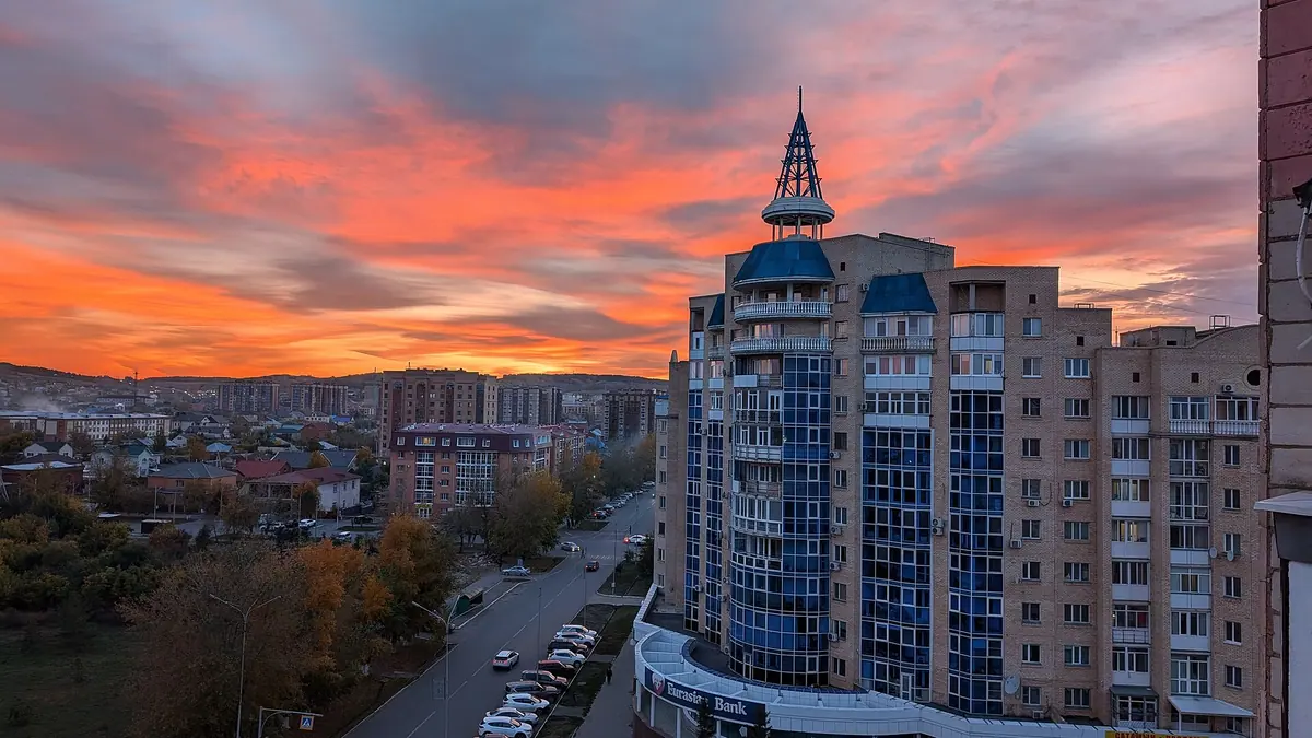
Things to do in Kokshetau, the lakeside city that serves as a base for Burabay and Zerenda in photos
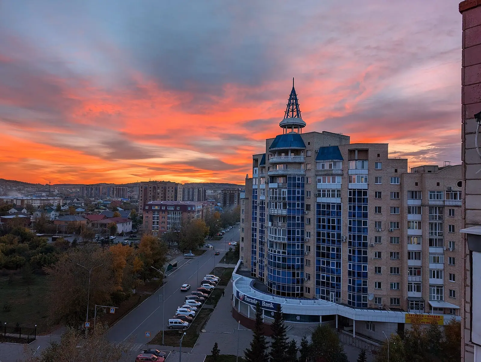
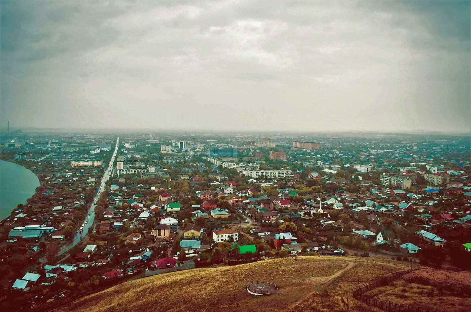
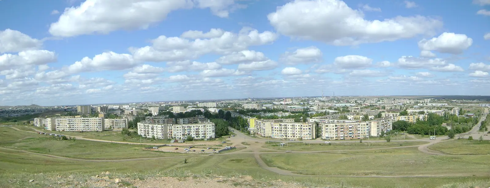
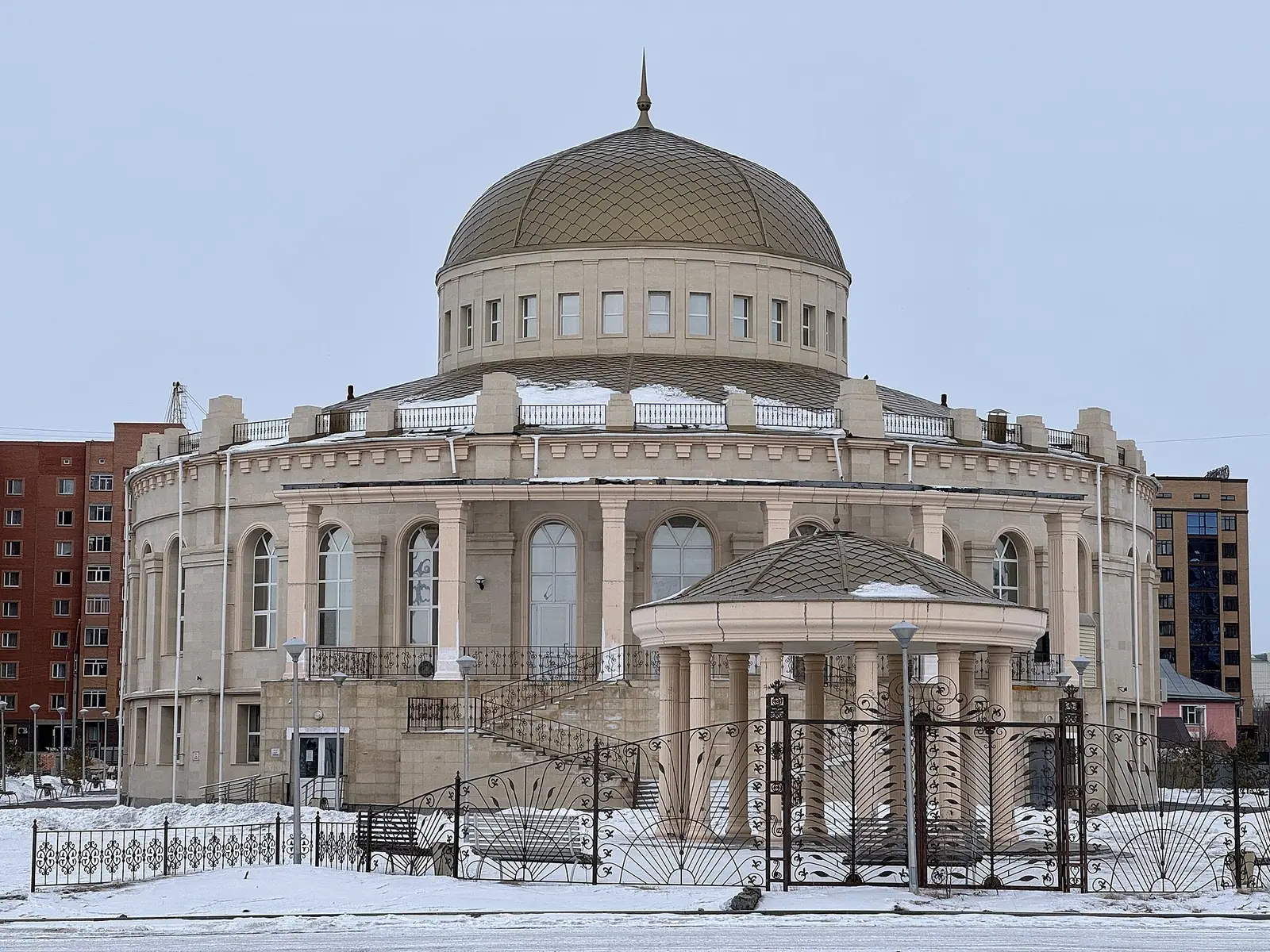
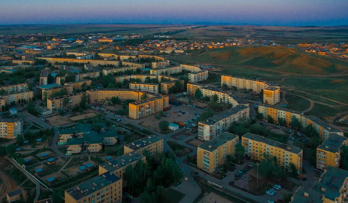
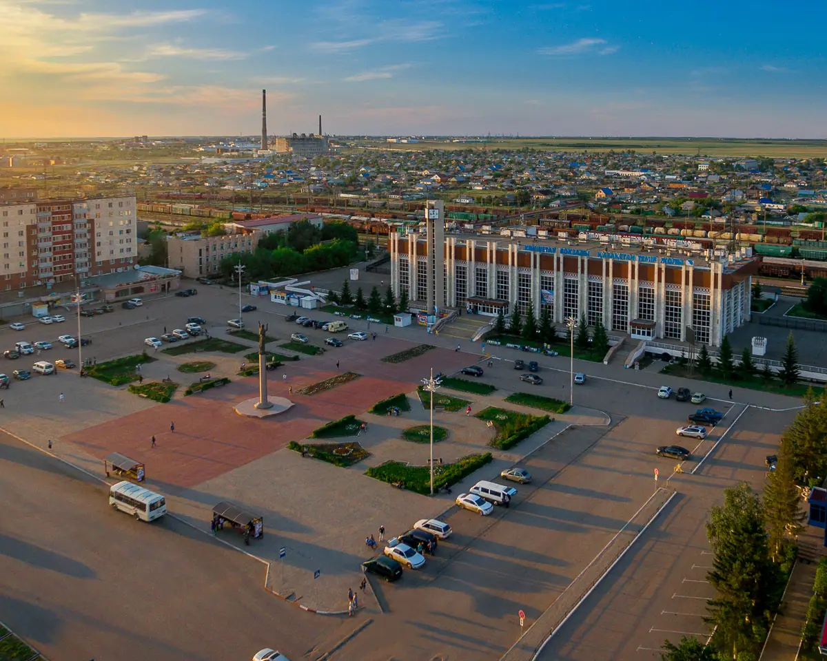
Real photos by travellers (Pexels, Unsplash, Wikimedia Commons); author and licence are given in each caption.
Things to do in Kokshetau fit into a day or two: climb Bukpa Hill for the view, walk the Lake Kopa shore, and visit the regional and city museums. The city matters more as a base. Burabay National Park, the Zerenda lake resort and the Elikti ski slopes all lie within easy reach.
Kokshetau is a northern regional capital, not a destination in itself
Kokshetau is the administrative centre of Akmola Region, on the southern shore of Lake Kopa at about 234 m above sea level. By Wikipedia it is about 300 km north-west of Astana along the A1 highway, while the Kazakh Wikipedia gives 276 km along the same road. Almaty is roughly 1,615 km away, so this is a trip from Astana, not from the south.
The city was founded in 1824 as a Russian military outpost and became a town in 1895. Until 1993 it was called Kokchetav, which is why the airport code is still KOV. Around 183,000 people live here (2026 estimate). It was named Kazakhstan’s City of Culture for 2021.
| Key fact | Figure |
|---|---|
| Region | Akmola Region, northern Kazakhstan |
| Elevation | about 234 m |
| Highest point in town | Bukpa Hill, 363 m |
| Lake Kopa | 14 km² |
| Founded | 1824 (city status 1895) |
| Lake ice | mid-November to early April |
For a visitor this means a working provincial city with Soviet-era districts, a lake and hills at its edge. Plan to sleep here or pass through on the way to the forests, not to fill a week.
In town: Bukpa Hill, Lake Kopa and a handful of museums
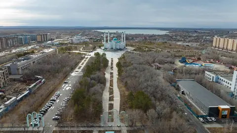
The town sights listed by Wikipedia are the Akmola Regional Museum of History and Local Lore, the Kokshetau City History Museum, the Museum of Literature and Art, Kokshetau City Park and Bukpa Hill. Bukpa is the hill at whose foot the settlement was built after the district office moved here in 1827, and from its top you see the whole city and the lake.
Lake Kopa is a kidney-shaped freshwater lake fed by the Shagalaly and Kylshakty rivers. Wikivoyage notes that the city’s layout does not really face it, so do not expect a promenade-style waterfront. Within city limits there are small birch and pine plantations.
Other things in Wikivoyage’s list:
- Central Park, with a small amusement park and a slow Ferris wheel.
- In freezing weather, an ice-carved village with a long ice slide on the paved square opposite the new cinema.
- FC Okzhetpes football at Torpedo Stadium, about 1 km north of the centre on Abay Street; the season runs March to November.
- The end point of what Wikivoyage calls the world’s biggest power line, which starts in Ekibastuz.
We could not confirm museum opening hours or admission rules.
Nature trips from Kokshetau: forests, lakes and a ski hill
The surrounding country is the reason to come. Two national parks, Burabay and Kokshetau, lie near the city, and Wikipedia groups the area into three resort zones: Shchuchinsk–Burabay, Zerenda and Imantau–Shalkar.
| Trip | Distance from Kokshetau | What it is |
|---|---|---|
| Zerenda | about 45 km in a straight line | lake among pine-covered hills |
| Elikti ski resort | 25 km by the P11 road | slopes on Mount Elikti, about 500 m |
| Burabay National Park | 70 km to the north-west entrance (Wikipedia); 50 km (Wikivoyage) | lakes, forests and low mountains |
| Shchuchinsk | 70 km | nearest town, gateway to the Burabay zone |
| Mount Kokshe | 60 miles (Wikipedia) | highest peak in the region, 947 m |
The two sources disagree on the Burabay distance, so budget for the longer figure. For a lake close to town, read our page on Zerenda. Elikti is on the road from Kokshetau to Ruzayevka; Wikivoyage says equipment can be rented there and praises its sunny days and good snow cover. Wikivoyage also notes that the higher-standard resort hotels of the region are in the Burabay area rather than in Kokshetau, which is worth weighing when deciding where to sleep.
Getting to Kokshetau and around it without a car
Kokshetau is a road and rail junction where the Trans-Kazakhstan and South Siberian railways meet, and it has its own airport (KOV). The A1 links it to Astana and the A13 to Omsk in Russia, 318 km away by road.
Wikivoyage describes a single flight from Almaty that lands in Kokshetau and continues to Petropavl, and suggests Astana’s international airport as the main gateway; that information may be dated. From Kokshetau airport, buses to the centre run about every 30 minutes and taxis are plentiful. Inside the city, taxis are the easy option.
We could not confirm any bus or train schedule to Burabay, Zerenda or Elikti. Without a car, expect to arrange a taxi or local transport on the spot. Wikivoyage says that as of September 2024 the city has 4G from Beeline and Kcell and 5G from Tele2, but the signal is patchy on the approach highways.
When to go: short warm summers, long hard winters
The figures below are computed 2011–2020 normals from the ERA5 reanalysis for a grid point at 228 m, close to the city’s own elevation; they are not weather-station records.
Day high, °C / Night low, °C · Rain/snow, mm
A computed reanalysis normal for these coordinates, not weather station records.
Monthly figures
| Month | Day high, °C | Night low, °C | Rain/snow, mm |
|---|---|---|---|
| Jan | -11.7 | -19.3 | 12.7 |
| Feb | -9.6 | -17.5 | 10.4 |
| Mar | -1 | -9.7 | 19.3 |
| Apr | 11.8 | 1.2 | 33.3 |
| May | 19.5 | 6.3 | 42 |
| Jun | 23.5 | 11.7 | 45.8 |
| Jul | 24.4 | 13.5 | 93.2 |
| Aug | 23.6 | 11.8 | 54.1 |
| Sep | 17.1 | 6.2 | 35.5 |
| Oct | 7.9 | -0.2 | 36.9 |
| Nov | -2.9 | -8.9 | 19.1 |
| Dec | -9.2 | -16.1 | 17.4 |
June to August is the comfortable window, with average highs of 23–24 °C and nights of 12–15 °C. July is also the wettest month at about 93 mm, so expect showers. May and September are cooler, with highs of about 17–20 °C and nights of about 6 °C.
From November to March average highs stay below zero, sinking to about −12 °C in January. Wikipedia notes that −30 to −35 °C is not unusual between mid-December and early March, and records reach −48 °C (February 1969). Winter is for the ice village and skiing at Elikti, not for lake walks: Lake Kopa is frozen from mid-November to early April. Daylight swings from 7.5 hours in late December to about 17 hours in late June.
| Season | What to expect |
|---|---|
| June–August | warmest, lakes and forests at their best, July showers |
| May, September | cool days, cold nights, fewer people |
| October, April | near-freezing nights, thin attractions |
| November–March | deep frost, frozen lake, skiing and ice slides |
Combining Kokshetau with a longer route
Most travellers will link Kokshetau with Astana, 276 km away in a straight line, and with Petropavl near the Russian border, about 176 km in a straight line. Central Kazakhstan is much farther: Ulytau, the granite hills in the middle of the steppe, lies about 546 km in a straight line, a separate trip rather than a side visit. To the west lies Syrymbet, the Shokan Ualikhanov estate museum, about 94 km in a straight line.
- Current flight routes into Kokshetau airport and train times from Astana
- Public transport, if any, from Kokshetau to Burabay, Zerenda and Elikti
- Opening hours and admission rules of the regional, city history and literature museums
- Whether Elikti ski resort and the winter ice village operate in the season you plan to visit
Frequently asked questions
How far is Burabay from Kokshetau?
Is Kokshetau worth visiting?
How do I get from Astana to Kokshetau?
Can you ski near Kokshetau?
What does the name Kokshetau mean?
Sources
Read also
 Aktau, Kazakhstan: what to do in the Caspian port city and the desert around it
 Aktobe, Kazakhstan: what to see, the weather by month and trips into the steppe
 Almaty weather by month: temperature, rain, snow and what to pack
 Astana weather by month: how cold it gets, wind and frost
 Atyrau, Kazakhstan: weather, sights and what the city works for as a base
 Karaganda, Kazakhstan: what to see in the coal city and when to come