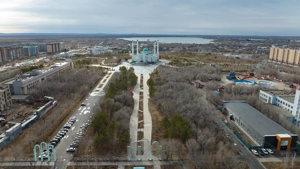
Karaganda, Kazakhstan in photos
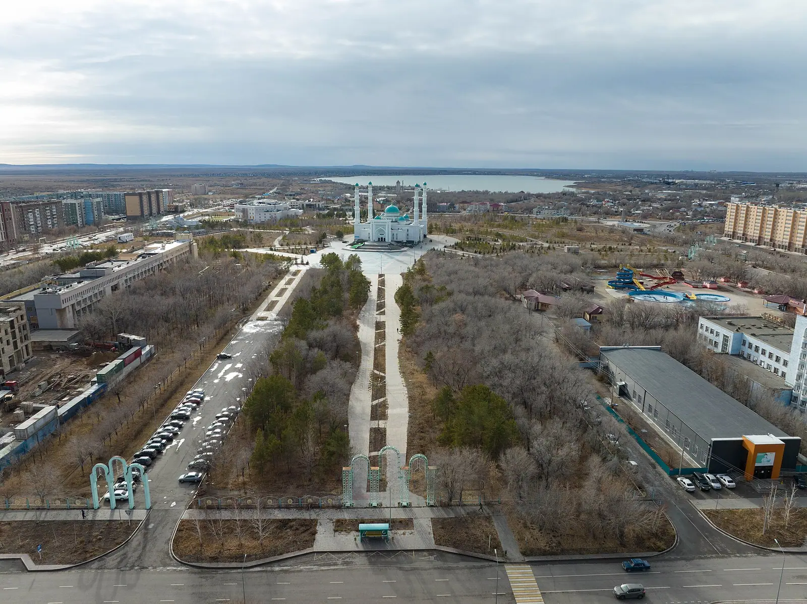
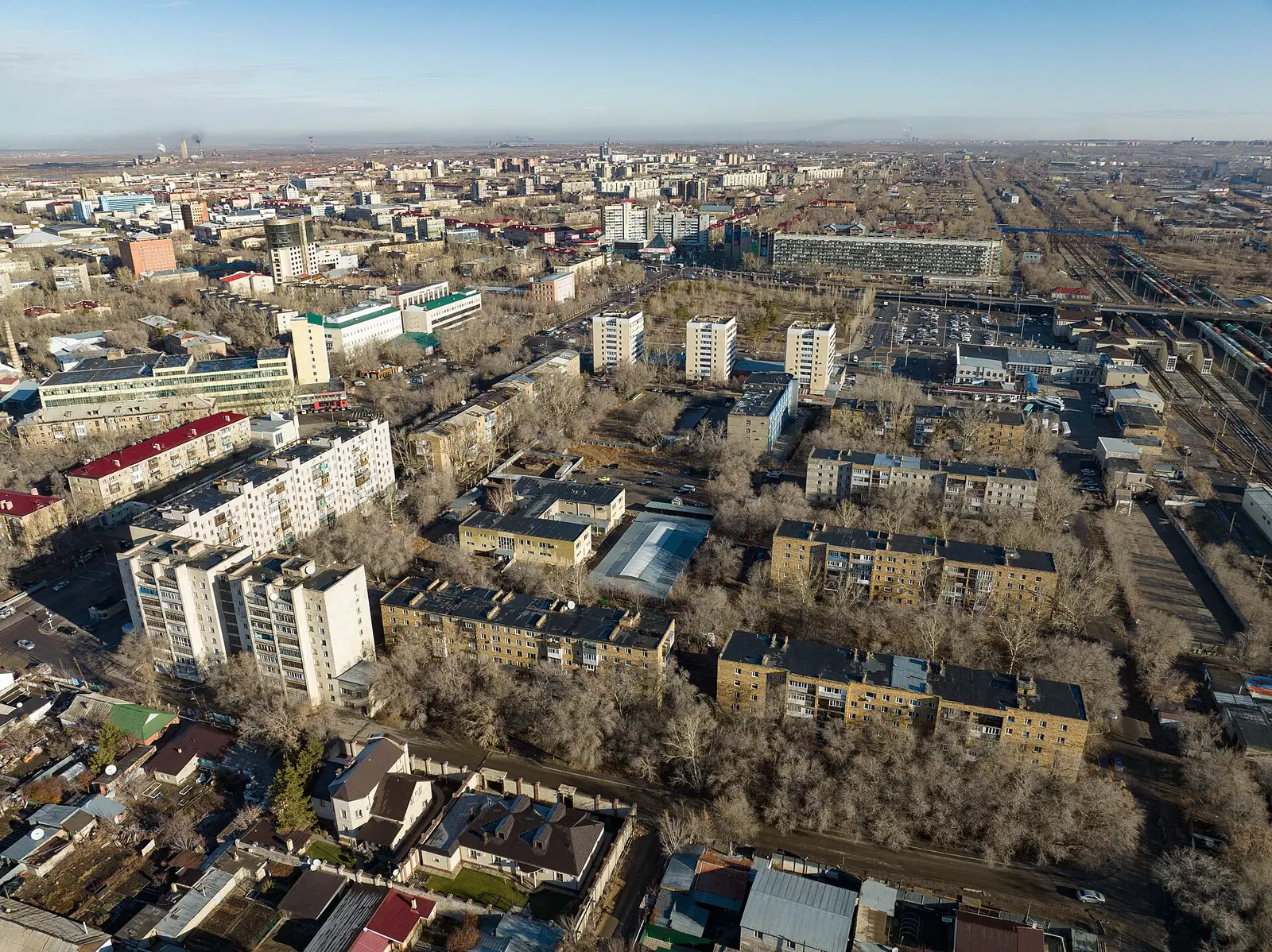
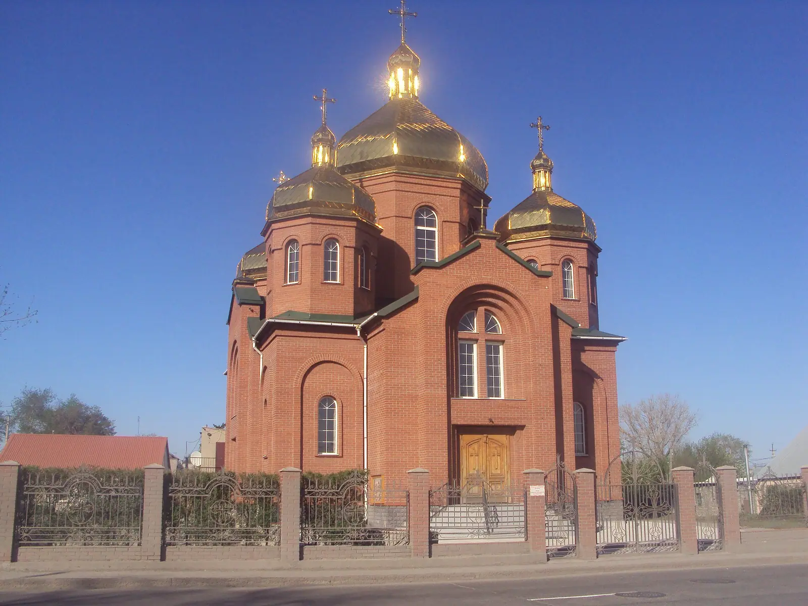
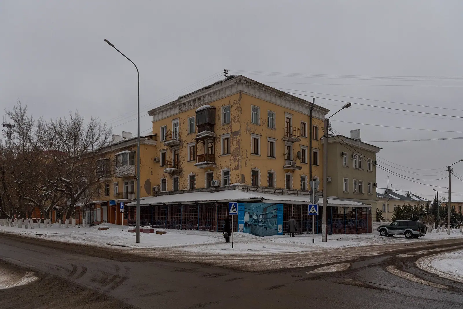
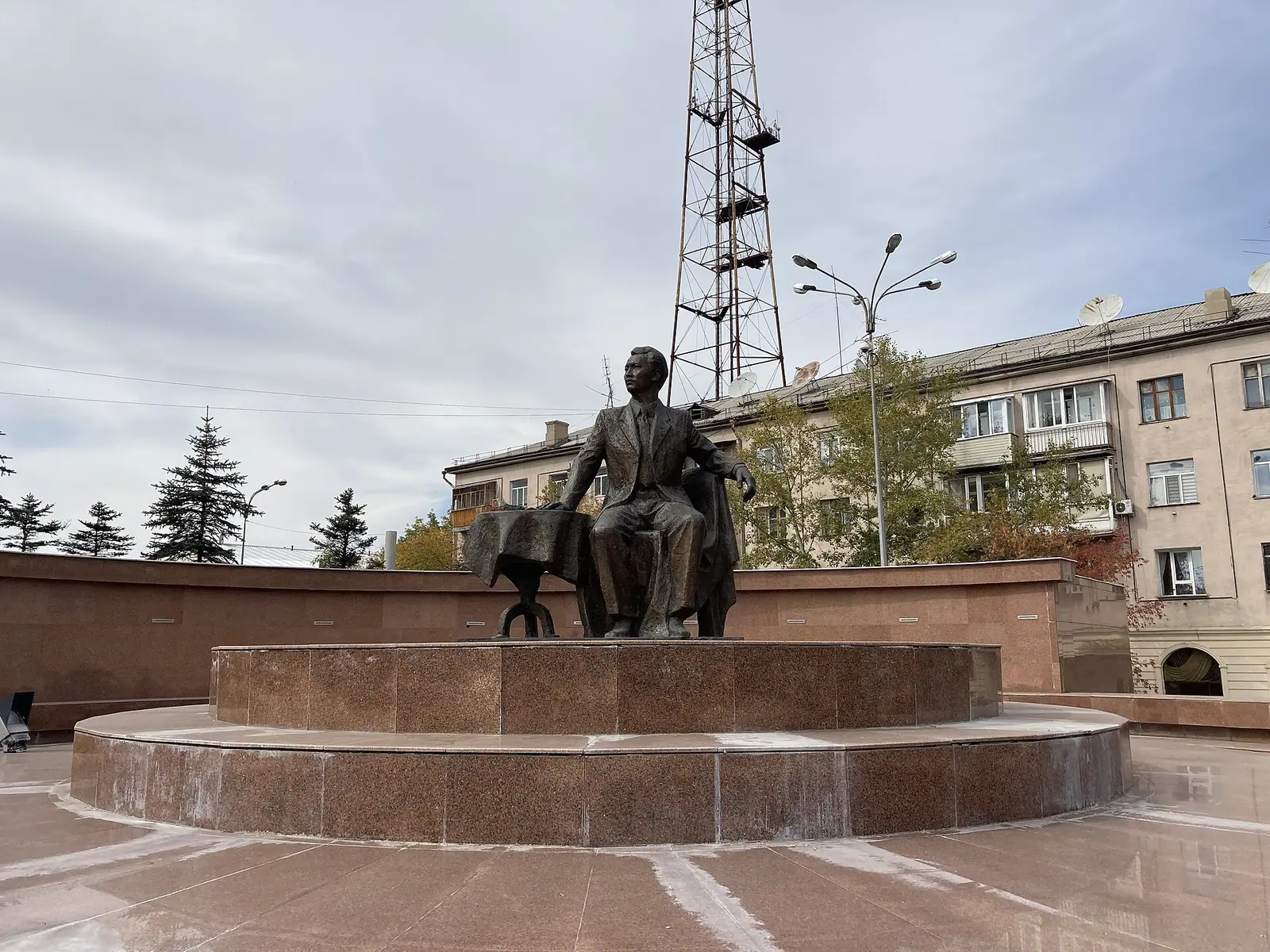
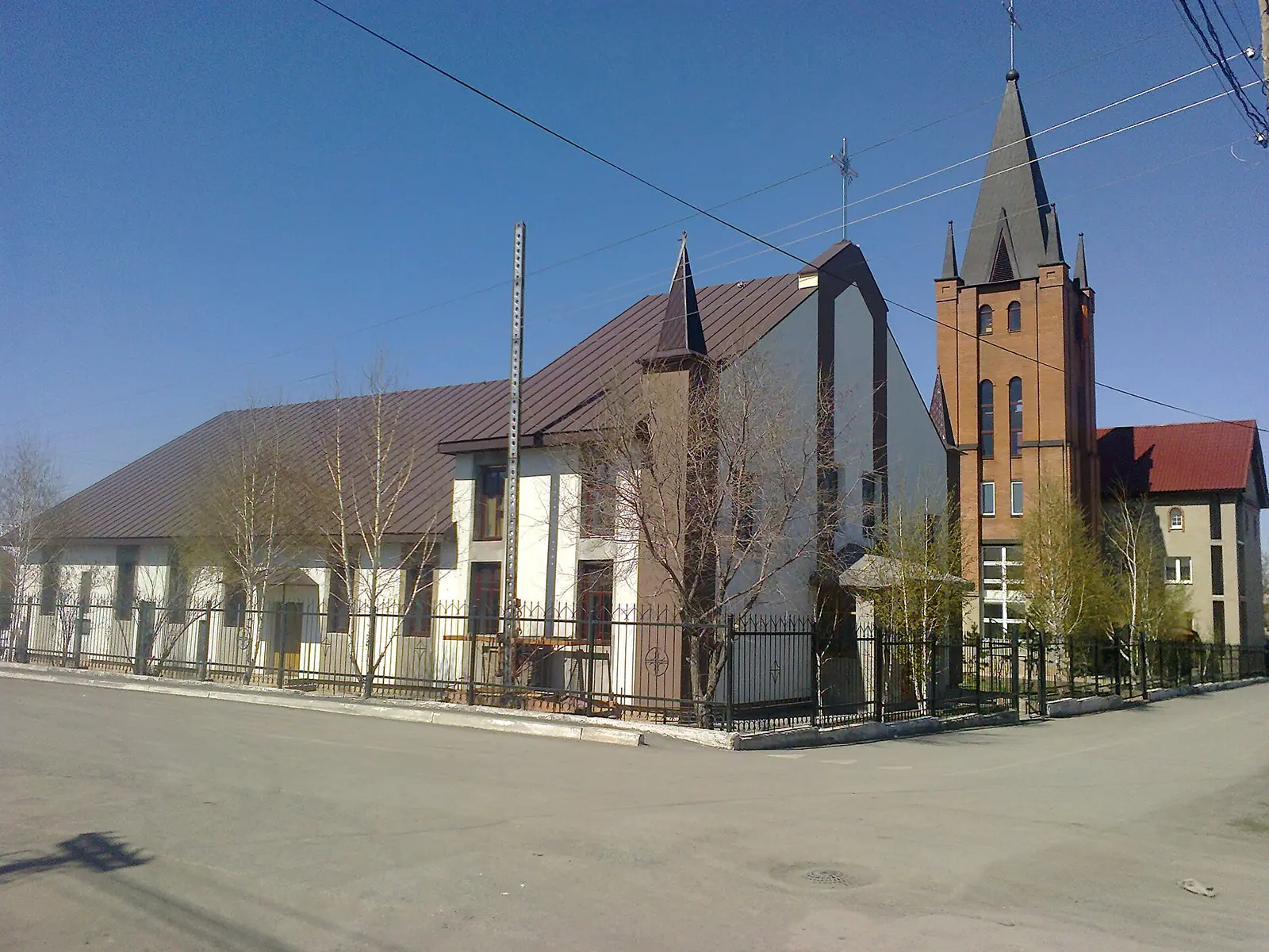
Real photos by travellers (Pexels, Unsplash, Wikimedia Commons); author and licence are given in each caption.
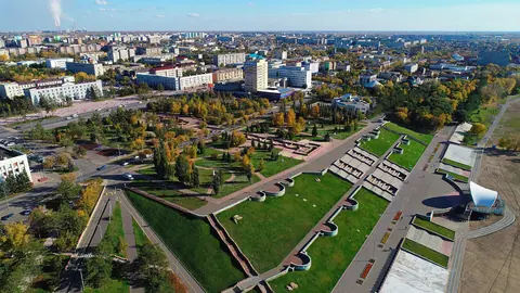
Karaganda, Kazakhstan (also spelled Karagandy or Qaraghandy) is a coal-mining city of about half a million people in the centre of the country, roughly 230 km southeast of Astana according to Wikipedia. Most visitors come for one of three reasons: the Karlag forced labour camp museum at Dolinka, a break on the long rail line between Astana and Almaty, or a jumping-off point for the steppe hills further out. It is a one- or two-day stop, not a holiday destination in itself.
Where is Karaganda, Kazakhstan, and what kind of place is it
Karaganda sits on the dry steppe of the Kazakh Uplands (Saryarka) at 546 m, about 191 km in a straight line from Astana. Wikipedia gives the distance as approximately 230 km; our sources do not give the road distance. Almaty is far to the south: around 11 hours by train.
The city grew around coal. A local shepherd, Appak Baizhanov, is said to have found coal here in 1833; Soviet mining restarted in 1930 and the settlement became a city on 10 February 1934. Prisoners, deportees and their families built much of it, and the mix still shows: in early 2023 the city was about 51% Kazakh and 32% Russian, with Ukrainian, German, Tatar and Korean communities. The name comes from caragana, a yellow-flowered shrub common in the area.
| Key data | Figure |
|---|---|
| Population | 497,777 (2020 census); 515,835 for the wider city area (early 2023) |
| Elevation | 546 m |
| City status | 10 February 1934 |
| Distance to Astana | about 191 km in a straight line; about 230 km by Wikipedia |
| Airport | Sary-Arka (KGF), southeast of the city |
| Coal mines | 8 as of 2023, up to 26 in Soviet times |
For the reader this means a large, working, industrial city with a heavy twentieth-century history, rather than a scenic or old one.
Things to do in Karaganda city
The sights are mostly Soviet-era monuments, museums and places of worship, strung along or near Buqar-Jyrau, the main boulevard. Expect a day for the city itself.
| Sight | What it is | Where |
|---|---|---|
| Karaganda Regional Museum | Small art gallery with changing shows; a large formation of creedite crystals is the remaining permanent exhibit | Buqar-Jyrau and Yermekov, behind Pyramid shopping centre |
| Ecomuseum | Exhibits including the region’s role in the Soviet space programme | 47 Buqar-Jyrau |
| Monuments on Buqar-Jyrau | Independence stele, Miners’ Glory, Yuri Gagarin, Pushkin | Main boulevard |
| Central Park | Main park, 150 ha around a small lake, laid out 1935–1941 | Centre |
| Children’s Railway | 5 km loop of 750 mm gauge track, with long closures in its past | West of Central Park |
| Cathedral of Our Lady of Fatima | Roman Catholic cathedral opened in 2012 | Pobedy Park |
| Oblastnaya and Staraya mosques | Two mosques south of the centre | Foot of Buqar-Jyrau; Respublika and Kuvskaya |
| Ethnopark | Mosque and a 2022 granite monument to the victims of the famine | Near the mosque |
| Miners’ Palace of Culture, Circus (1983), theatres | Performing arts venues | Centre |
The Ethnopark memorial and the mosques are places of remembrance and prayer: dress and behave accordingly. Wikivoyage last confirmed the Children’s Railway running in summer 2019, so check before planning around it. Football fans can catch FC Shakhter Karagandy at Shakhtyor Stadium, where the season runs March to November; by Wikivoyage the club now plays in the second tier.
Karlag at Dolinka is the main reason to come
The Karlag museum in the village of Dolinka, about 40 km west of the city, tells the story of one of the largest Soviet forced labour camps. By Wikivoyage, over a million people entered it between 1931 and 1960. By 1939, about half of Karaganda’s roughly 100,000 residents were prisoners, and Germans, Chechens, Ingush, Greeks, Kalmyks and Crimean Tatars were among those sent here. Solzhenitsyn served time in a camp near Karaganda, the one described in One Day in the Life of Ivan Denisovich.
Wikivoyage lists an English-speaking guide option, which matters if you do not read Russian or Kazakh. Public transport is possible but takes two buses: bus 121 from Karaganda to Dolinka, then local bus 5, 205 or 239 for three stops along the main village road. We could not confirm current hours, fees or whether those routes still run, so check before you set out and allow most of a day.
Karaganda, Kazakhstan weather: when to go
Go between late May and September: these are the only months with reliably mild days. The figures below are computed ERA5 reanalysis normals for 2011–2020 at a grid point at 540 m, essentially the city’s own elevation, not a weather station record.
Day high, °C / Night low, °C · Rain/snow, mm
A computed reanalysis normal for these coordinates, not weather station records.
Monthly figures
| Month | Day high, °C | Night low, °C | Rain/snow, mm |
|---|---|---|---|
| Jan | -10.8 | -18 | 15.9 |
| Feb | -9.2 | -17.5 | 17.6 |
| Mar | -0.6 | -8.9 | 25.2 |
| Apr | 13.3 | 1.5 | 34.6 |
| May | 19.7 | 6.6 | 31.9 |
| Jun | 24.7 | 12.7 | 44.6 |
| Jul | 25.9 | 14.2 | 56.2 |
| Aug | 25 | 12.3 | 35.1 |
| Sep | 18.4 | 6.2 | 23 |
| Oct | 9.2 | -0.6 | 35 |
| Nov | -3 | -10.4 | 30.3 |
| Dec | -8.5 | -15.6 | 26.1 |
June to August brings average highs of about 25–26 °C and nights of 13–15 °C. July is the wettest month at around 57 mm. September is a fine compromise: highs near 18 °C, nights around 6 °C and little rain. Outside the city the steppe grass burns out in summer.
Winter is long and hard. From December to February average highs stay between about −9 and −11 °C, lows between −15 and −18 °C, and blizzards are common. The record low is −42.9 °C (1938); the record high 40.2 °C (2002). Annual precipitation is about 400 mm in the reanalysis, while Wikipedia gives 332 mm, so treat it as a dry climate either way.
| Season | What to expect | Verdict |
|---|---|---|
| Dec–Feb | Highs around −10 °C, frequent blizzards | City and Karlag only, with full winter gear |
| Mar–Apr | Thaw; April highs about 13 °C, nights near 0 °C | Possible, often muddy and cold |
| May–Sep | Highs 18–26 °C, wettest in June–July | Best for the city and trips out |
| Oct–Nov | October highs about 9 °C, freezing by November | Possible for the city |
Karaganda as a base for steppe and lake trips
The city works as a base mainly for the hills and lakes of central Kazakhstan, but distances are long and none of the bigger trips is an easy day out by public transport.
- Fedorov Reservoir, in the south of the city, was created in 1941 by flooding a coal pit.
- Bugyly Range, about 60 km south, rises to 1,187 m and contains the Bugyly Nature Reserve.
- Karkaraly National Park lies some 225 km east by Wikivoyage, the main nature draw from Karaganda.
- Lake Balkhash is about 385 km in a straight line to the south.
- Ulytau, granite mountains in the middle of the steppe, is about 463 km in a straight line to the southwest.
- Zerenda, a lake among pine hills near Kokshetau, is about 445 km in a straight line to the north.
We could not confirm bus services, road conditions or access rules for Bugyly or Karkaraly. For anything beyond the city and Dolinka, assume you will need a car and driver arranged in advance.
Getting there and getting around without Russian
The train is the simplest way in. By Wikivoyage, Karaganda is on the main Astana–Almaty line with six trains a day, about 4 hours from Astana and 11 hours from Almaty; Astana is too close to be worth flying. Frequent buses also run to Astana. The railway and bus stations stand side by side at the south end of the centre, and the railway station has left luggage.
Sary-Arka airport (KGF) has flights from Almaty, Moscow, Novosibirsk, Kyzylorda and Oskemen according to Wikivoyage. Sources disagree on its distance: Wikipedia says 20 km southeast of the city, Wikivoyage 15 km.
City buses are cheap, but the route app Wikivoyage points to is in Russian, so a translation app helps. As of September 2024, mobile coverage included 4G from Beeline and 5G from Kcell and Tele2, with mostly good signal on approach highways.
One practical warning: air quality. IQAir found Karaganda had Kazakhstan’s highest PM2.5 concentration among measured cities in 2017–2022, and the World Air Quality Report 2024 lists it among the world’s most polluted cities. Travellers with asthma or heart conditions should check daily readings.
- Current opening hours, entry fees and guide availability at the Karlag museum in Dolinka
- Whether buses 121 and the local Dolinka routes still run as described by Wikivoyage
- Whether the Children’s Railway in Central Park is operating this season
- Transport options, road conditions and access rules for Karkaraly National Park and the Bugyly Nature Reserve
- Current flight routes from Sary-Arka airport
Frequently asked questions
Where is Karaganda, Kazakhstan?
How cold does Karaganda get in winter?
Is Karaganda worth visiting?
What does the name Karaganda mean?
How far is Karaganda airport from the city?
Sources
Read also
 Aktau, Kazakhstan: what to do in the Caspian port city and the desert around it
 Aktobe, Kazakhstan: what to see, the weather by month and trips into the steppe
 Almaty weather by month: temperature, rain, snow and what to pack
 Astana weather by month: how cold it gets, wind and frost
 Atyrau, Kazakhstan: weather, sights and what the city works for as a base
 Pavlodar, Kazakhstan: weather, things to do and the Irtysh river city as a base