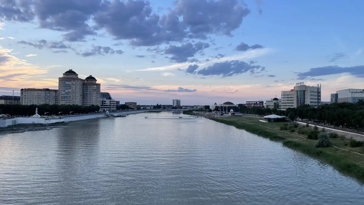
Atyrau, Kazakhstan in photos
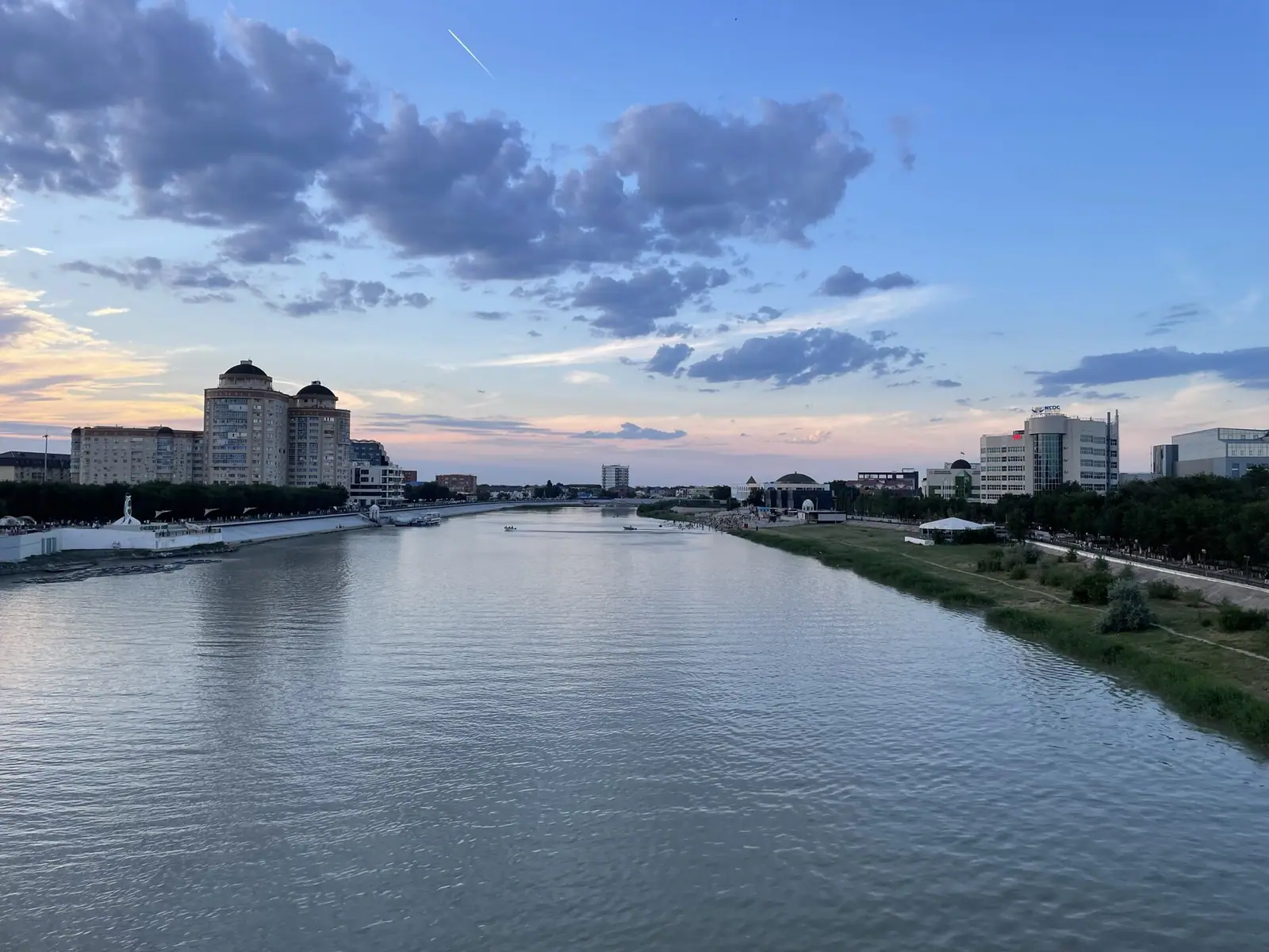
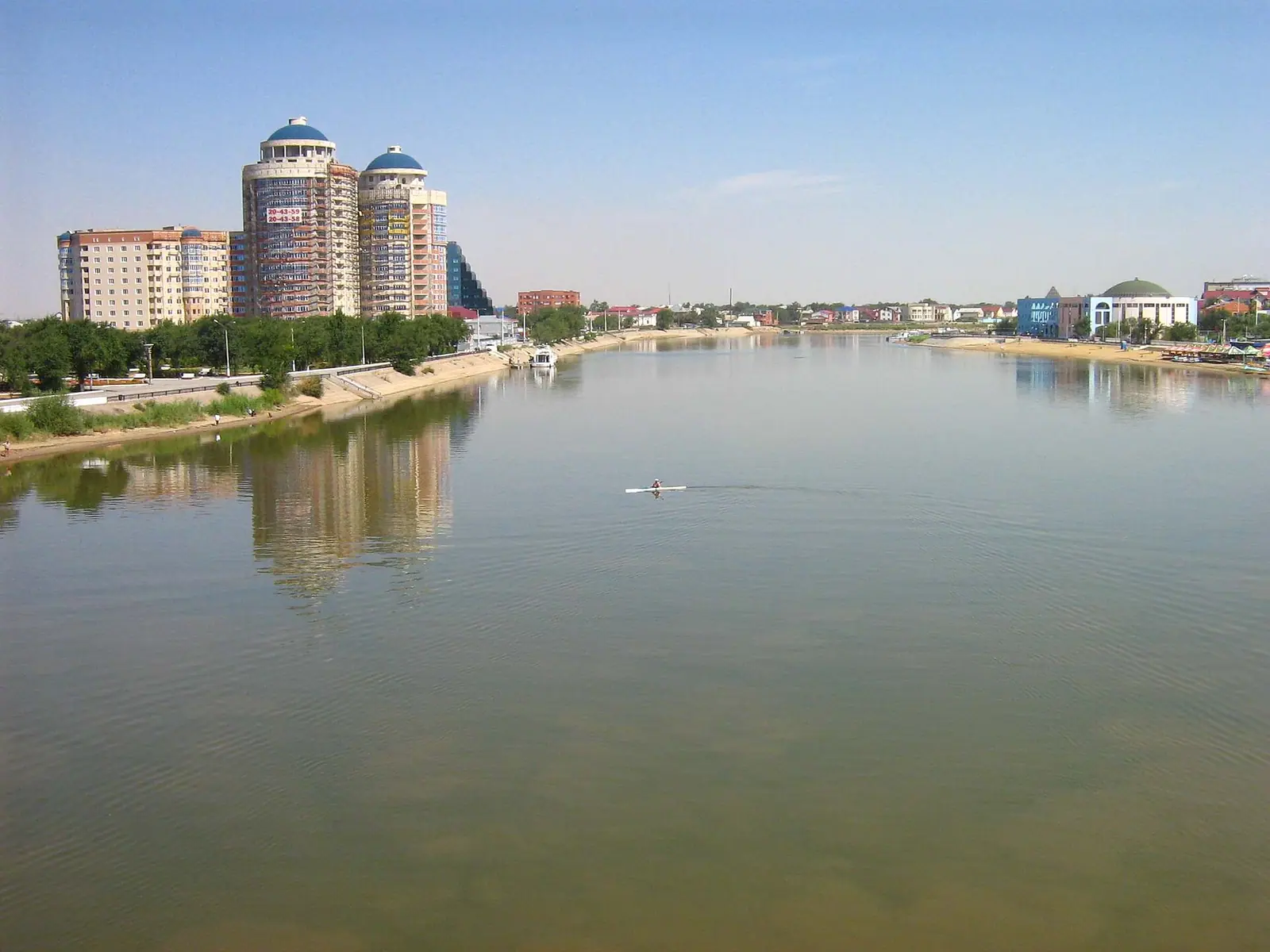
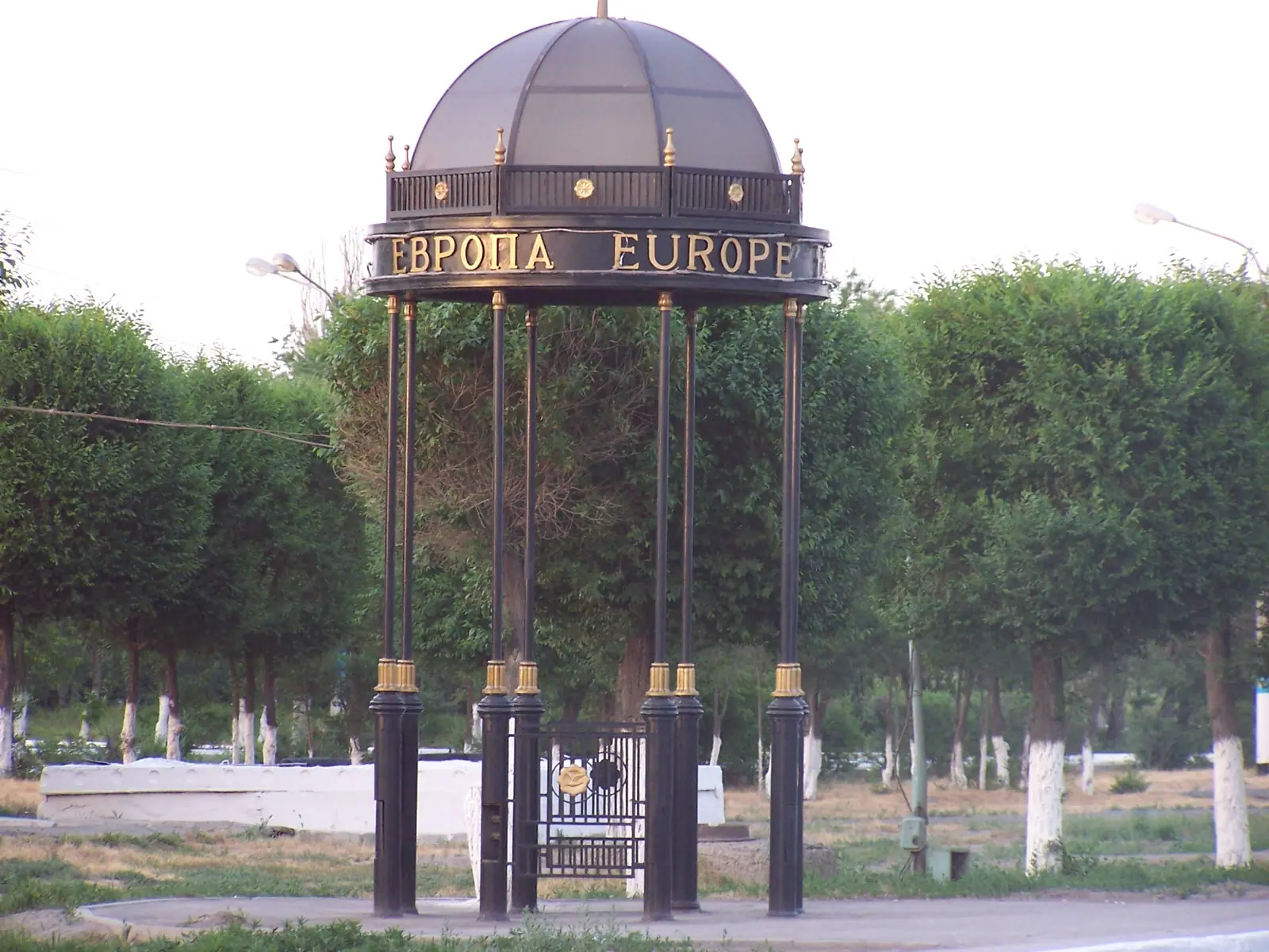
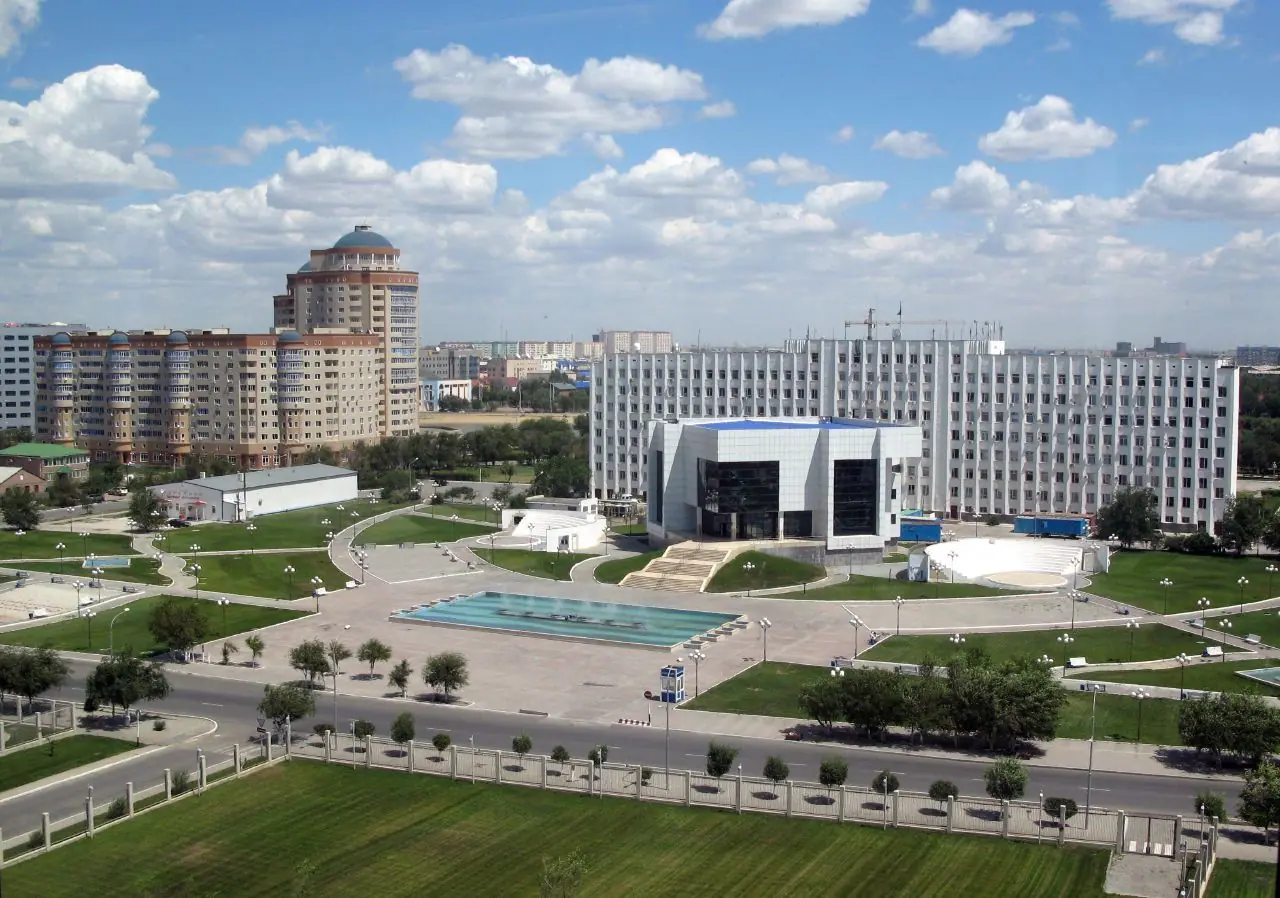
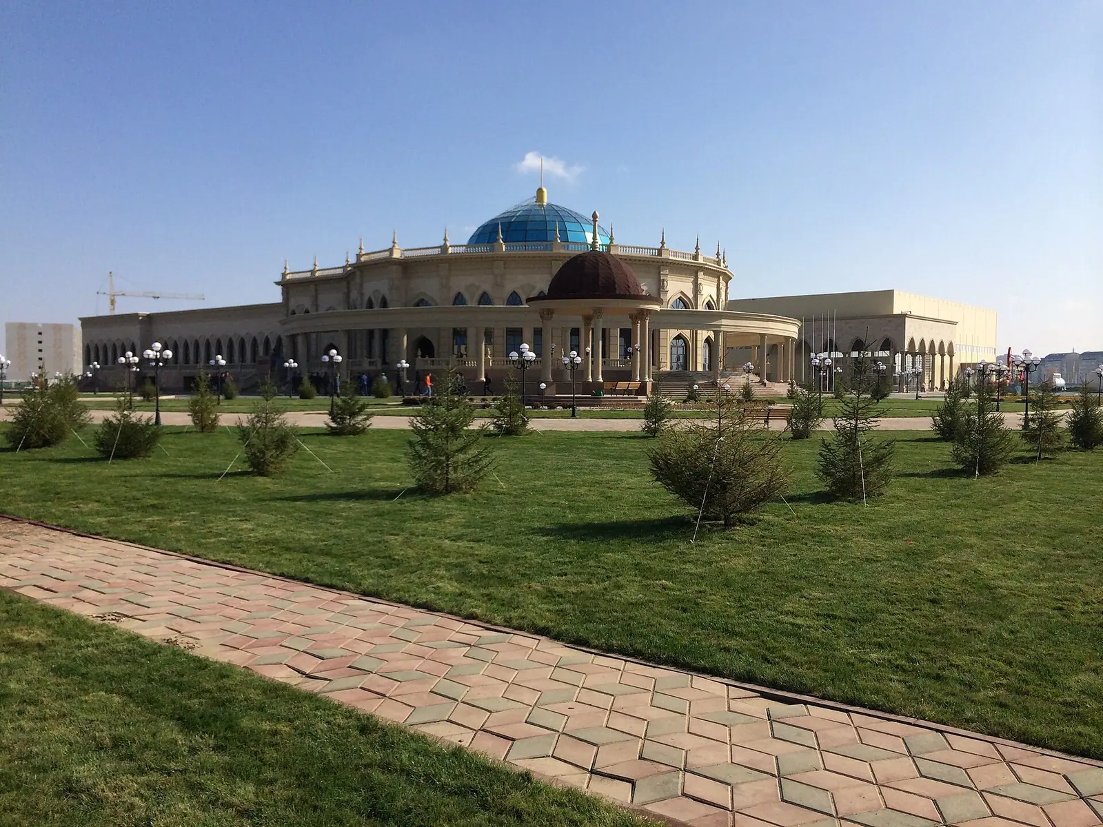
Real photos by travellers (Pexels, Unsplash, Wikimedia Commons); author and licence are given in each caption.
Atyrau, Kazakhstan, has a weather pattern of extremes: average July highs near 34°C and January highs below zero, with very little rain all year. The city sits on the Ural River near the north Caspian shore, in the far west of the country, and is best known for oil. For a traveller it is a short stop with a riverside walk, several museums and a medieval ruin within reach, rather than a destination in its own right.
Where Atyrau is and what kind of trip it is
Atyrau is the capital of Atyrau Region, in western Kazakhstan at the mouth of the Ural River. English Wikipedia puts it 2,700 km west of Almaty and 351 km east of Astrakhan in Russia; Kazakh Wikipedia gives 1,810 km to Astana. The city lies about 20 m below sea level, and the Ural splits it into a European and an Asian bank.
It is a working oil city, called Kazakhstan’s “oil capital” since 1999, not a resort. Plan it as a one- or two-day stop, or as a transit point between Kazakhstan and Russia.
| Key fact | Detail |
|---|---|
| Former name | Guryev (until 1991–1992) |
| Founded | 1640 by Russian and Kazakh Wikipedia, 1645 by English Wikipedia |
| Population | about 318,000 (2023) to 355,000 (2020), depending on the count |
| Elevation | about 20 m below sea level |
| Climate | semi-arid, hot summers, cold winters |
| Airport | Atyrau Airport (GUW), 8 km northwest |
The population figures differ because sources count different areas and years, so treat them as a range. One more thing to know before you go: English Wikipedia reports that the oil industry pollutes the city’s air with hydrogen sulfide, which regularly exceeded permissible levels and gave a constant ‘rotten eggs’ smell.
Atyrau, Kazakhstan weather: aim for May or September
The comfortable windows are short: May and September, with April and October as cooler shoulders. The figures below are computed normals for 2011–2020 from the ERA5 reanalysis at a grid point 24 m below sea level, close to the city’s own elevation, so they should reflect conditions in town fairly well.
Day high, °C / Night low, °C · Rain/snow, mm
A computed reanalysis normal for these coordinates, not weather station records.
Monthly figures
| Month | Day high, °C | Night low, °C | Rain/snow, mm |
|---|---|---|---|
| Jan | -3.1 | -7.9 | 17.2 |
| Feb | -2.3 | -8.3 | 10.2 |
| Mar | 6 | -0.9 | 14.2 |
| Apr | 16.1 | 7.8 | 19.9 |
| May | 25.4 | 16.2 | 20.9 |
| Jun | 30.4 | 20.7 | 10.9 |
| Jul | 32.8 | 23.3 | 12.2 |
| Aug | 31 | 21.4 | 10.6 |
| Sep | 23.2 | 14.4 | 8.3 |
| Oct | 13.9 | 6.3 | 12.8 |
| Nov | 4.5 | -0.9 | 12.4 |
| Dec | -1.2 | -5.6 | 17.1 |
July averages a high of about 33°C and a low of 23°C, so nights give little relief. Records are far beyond that: 44.6°C in August 1940, and an unofficial 50°C in July 1911. Winter is short but hard, with January and February lows around -8°C and a recorded minimum of -37.9°C in 1909. Snow is common but light.
Rain is scarce in every month. The total is about 184 mm a year in these normals, close to the 190 mm in Russian Wikipedia, and no month gets more than about 23 mm.
| Season | What to expect | For a visitor |
|---|---|---|
| Dec–Feb | Highs around -3 to -1°C, lows near -8°C | Indoor sights only; dress for frost and wind |
| Mar–Apr | Highs 7°C rising to 17°C | Workable for walks by April |
| May | Highs about 26°C, lows 16°C | One of the two best months |
| Jun–Aug | Highs 31–34°C, warm nights | Walk early and late; long trips are tiring |
| Sep | Highs about 24°C, lows 15°C | The other best month |
| Oct–Nov | Highs 14°C falling to 5°C | Cool, fine for museums and the river |
If you also plan the Mangystau desert sights to the south, the same May and September windows make sense there.
Things to do in Atyrau: bridges, mosque, museums
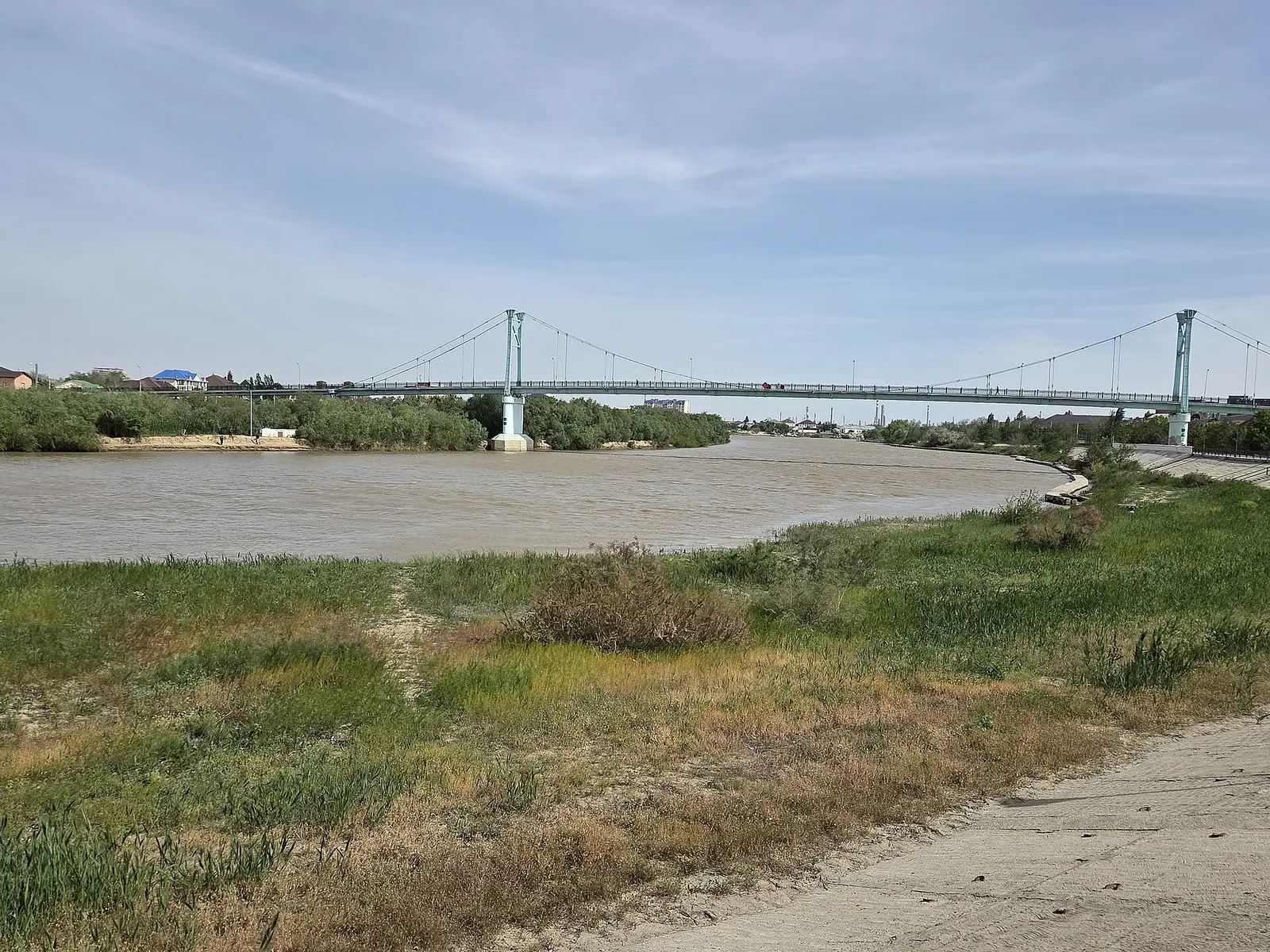
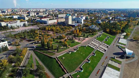
Most sights cluster along the Ural River, so the river walk ties them together. The pedestrian suspension bridge, built in 2001, is 551 m long and is listed by Guinness as the world’s longest pedestrian bridge, according to English Wikipedia. The older road bridge of 1965 (259 m) once carried a marker of the Europe–Asia border at its middle, by Russian Wikipedia, and the bridge connects Satpayev Avenue and Abay Street across the river.
| Sight | Where | What it is |
|---|---|---|
| Manjali (Imangali) Mosque | Qanysh Sätbayev Ave 15 | Large mosque; entry only in long trousers |
| Isatay and Makhambet Square | Next to the mosque | Equestrian statue of the two figures |
| Atyrau Regional Museum | Bauyrzhan Momyshuly St | Local history and crafts |
| Atyrau Art Museum | Just west of the regional museum | Art collection |
| Museum of Military Vehicles | Victory Park, Vladimir St 28 | Mostly outdoor artillery display |
| Paleontology museum | Mukhtar Auezov Ave | Natural history, beside Retro Park on a Ural oxbow |
| Pedestrian suspension bridge | West of Retro Park | 551 m footbridge over the Ural |
The list comes from Wikivoyage, with the mosque entry updated in 2019; we could not confirm opening hours for any of these places. Treat the mosque as a place of worship: long trousers are required, and modest dress in general is sensible. For sport, FC Atyrau plays at Munaishy Stadium on the south bank from March to November.
Saraishyk and the older layers of the city
The ruins of Saraishyk, about 50 km north of the city, are the main historical outing from Atyrau. Sources disagree on the date: Wikivoyage traces the city back to the 1200s, while Russian Wikipedia dates the remains to the 16th–17th centuries.
Older traces lie inside today’s city too. In the north of Atyrau stood a Golden Horde town that a 14th-century Italian merchant’s map called Laeti; the site is now known as Aktobe-Laeti and was excavated in 1974 and again in 2012. The Russian fort that grew into Guryev was built at the river mouth in the 1640s, sacked by Stepan Razin’s Cossacks, and demolished in 1810. Russian Wikipedia says the fort was razed in 1810–1815.
We could not confirm how to reach Saraishyk without a car, or whether it has visitor facilities.
Atyrau as a base: the Mangystau desert lies far to the south
Atyrau is not close to the big nature areas, so plan any outing as a separate multi-day leg. The nearest are in Mangystau, around Aktau, about 390 km in a straight line, and the road distance will be longer.
There you can see the stone spheres of the Torysh valley, the Sherkala massif, the white cliffs of Bozjyra and the Mangystau plateau, and the coastal town of Fort-Shevchenko. All lie roughly 300–360 km in a straight line from Atyrau. The Aral Sea is about 650 km away in a straight line, which is a separate expedition.
Atyrau makes sense if you are arriving from Russia or crossing the west of the country overland.
Getting to and around Atyrau without a car
Most visitors arrive by air or train. Atyrau Airport (GUW) is 8 km northwest of the city and is a focus city for Air Astana. English Wikipedia lists international flights to Moscow, Amsterdam and Istanbul, but that list may be out of date, so check current schedules.
The railway station is in the northeast of the city. English Wikipedia lists trains to Almaty, Aktobe and Astana, plus Russian cities, Tashkent and Dushanbe. Wikivoyage disagrees on one point: it says there is no rail link to the northwest, including Astana. Astrakhan is about 20 hours by train, and Wikivoyage reports daily buses as well.
In town, Russian Wikipedia counts 32 bus routes and 250 buses for 2025, with GPS tracking of buses online. As of September 2024, Wikivoyage reports 4G from Beeline and 5G from Kcell and Tele2 in the city.
- Opening hours and entry rules for the regional, art, paleontology and military vehicle museums
- How to reach the Saraishyk ruins without a car, and whether the site has visitor facilities
- Current international flights from Atyrau Airport; the Moscow, Amsterdam and Istanbul routes may be out of date
- Whether a direct train runs to Astana; English Wikipedia and Wikivoyage disagree
- Road travel time and transport from Atyrau to the Mangystau sights
Frequently asked questions
What is the weather like in Atyrau, Kazakhstan?
How cold does Atyrau get in winter?
What is the best month to visit Atyrau?
Is Atyrau in Europe or Asia?
How far is Atyrau from Almaty?
Sources
Read also
 Aktau, Kazakhstan: what to do in the Caspian port city and the desert around it
 Aktobe, Kazakhstan: what to see, the weather by month and trips into the steppe
 Almaty weather by month: temperature, rain, snow and what to pack
 Astana weather by month: how cold it gets, wind and frost
 Karaganda, Kazakhstan: what to see in the coal city and when to come
 Pavlodar, Kazakhstan: weather, things to do and the Irtysh river city as a base