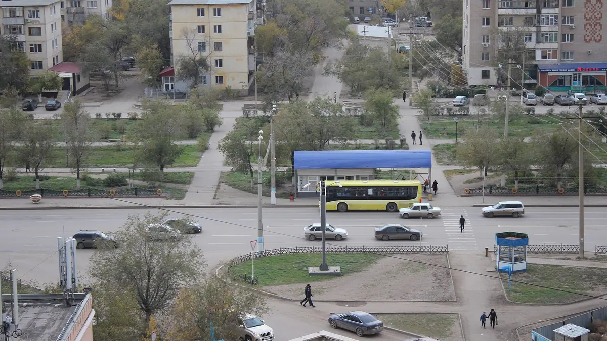
Aktobe, Kazakhstan in photos
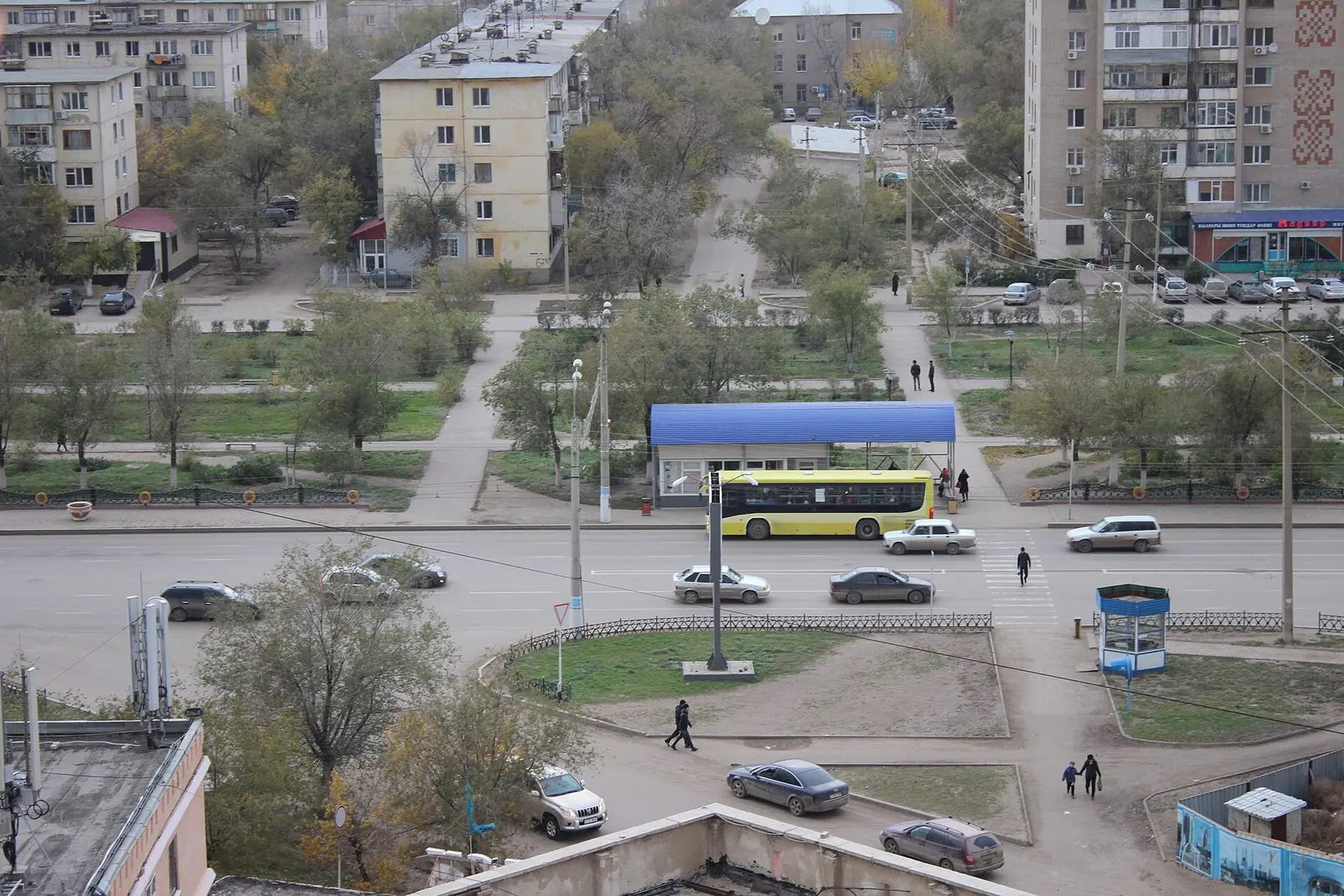
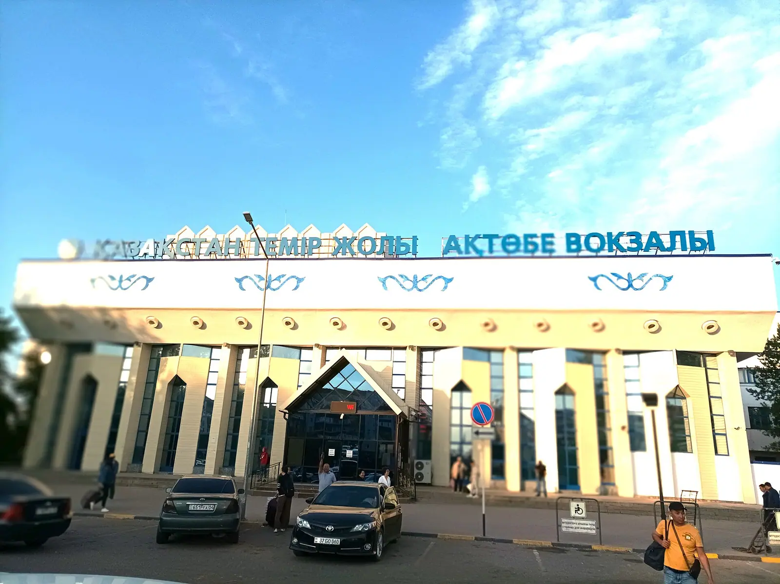
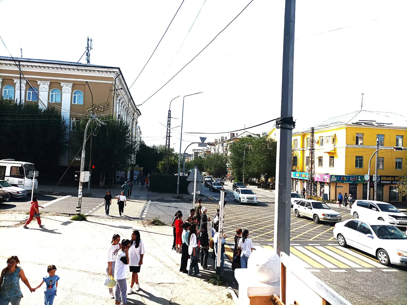
Real photos by travellers (Pexels, Unsplash, Wikimedia Commons); author and licence are given in each caption.
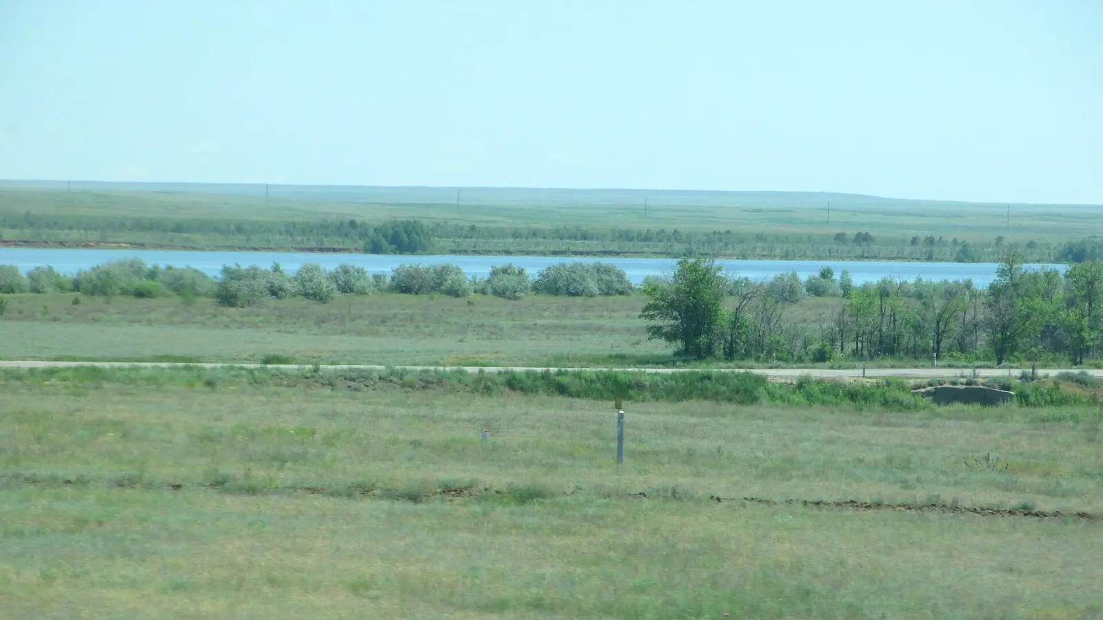
Aktobe, Kazakhstan, is a large industrial city in the far west of the country, where the Kargaly River joins the Ilek on a flat steppe plateau. It has a short list of city sights and several reservoirs within easy reach. The weather is sharply continental, so late spring and early autumn are the comfortable windows for a visit.
Where Aktobe is and what kind of trip it makes
Aktobe sits in the north of Aktobe Region in western Kazakhstan. By Wikipedia, Orenburg in Russia is about 200 km to the northwest and Orsk about 150 km to the northeast. Oral is about 421 km away in a straight line, Atyrau about 524 km and Kostanay about 550 km. We could not confirm the road distance or travel time from Almaty or Astana.
The city grew from a Russian military fort founded in 1869 and now lives mainly on oil, gas, coal mining and metallurgy. It is the fourth-largest city in Kazakhstan, but the population figures differ: Wikivoyage gives around 520,000, English Wikipedia 560,820 for 2023, and Russian Wikipedia 600,149 for March 2026. For a traveller, the point is simple: this is a working regional centre with good road and rail links, not a resort. Plan one or two days, more if you use it as a base for the steppe.
Things to do in Aktobe itself
The city sights are few and modest. Wikivoyage lists three: the World War II memorial, the Children’s Palace theatre and the Aliya Moldagulova Museum. We could not confirm opening hours or entry rules for any of them.
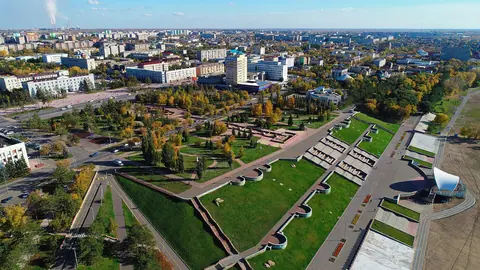
The Sazdy River runs straight through the centre, and since 2010 the city has been landscaping its embankment, where the large shopping and entertainment centres stand.
Football is the other draw. FC Aktobe, the “Red & Whites”, play in the Kazakh Premier League at the Central Stadium on Abulkhair Khan Avenue, which holds 13,200. The season runs from March to October, so a match fits neatly into a spring or autumn visit.
Day trips around Aktobe: reservoirs, steppe and a batyr’s mausoleum
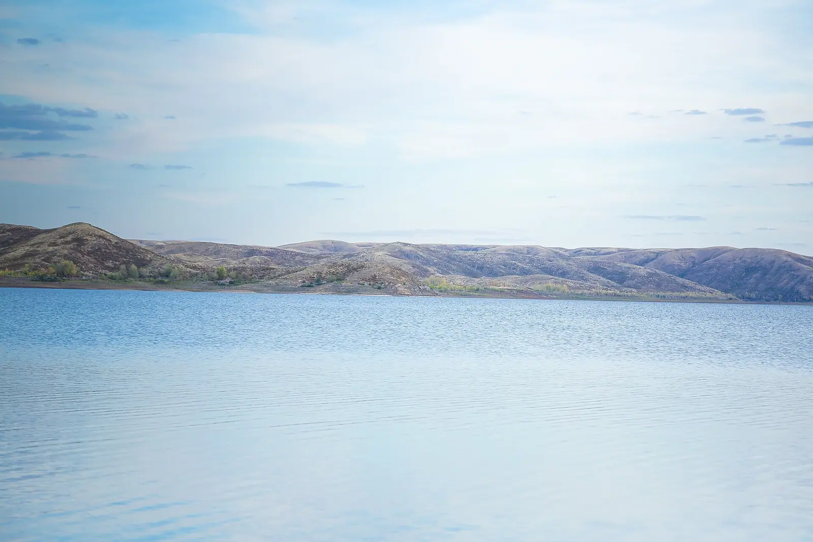
Most of what lies around Aktobe is water and open steppe. The reservoirs below are the nearest escapes; the mausoleum adds a piece of Kazakh history. Distances are as Wikipedia gives them, from the city.
| Place | Distance and direction | What it is |
|---|---|---|
| Sazdy reservoir | 8 km southwest | Built in 1967; a traditional place for city residents to rest |
| Aktobe reservoir (“Aktobe Sea”) | 10 km southeast | 245 million m³ on the Ilek, in use since 1988 |
| Kargaly reservoir | 60 km northeast | The largest artificial reservoir near Aktobe, 280 million m³, from 1975 |
| Eset Batyr mausoleum | 35 km south | Tomb of the Kazakh warlord who campaigned against the Dzungars from this area |
The two closest reservoirs make easy half-day outings; Kargaly (60 km) and the mausoleum (35 km) are farther out. We could not confirm public transport to any of them, or whether swimming is allowed.
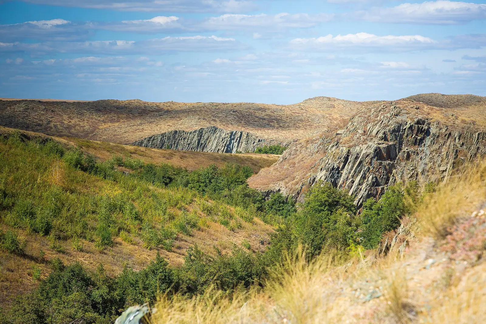
The land itself is part of the interest. The plateau stands 250–400 m high, and where erosion strips the soil, white chalk shows through. Bronze Age stone rings and kurgans have been found in the steppe near the city, including burials at Syntas and Besoba.
Longer trips start here too, but they are long. The Aral Sea is about 637 km away in a straight line and Baikonur about 663 km; the granite hills of Ulytau are about 735 km off. Each is a separate journey, not a day trip.
Aktobe weather: when to go
The comfortable months in Aktobe are May, June and September. The figures below are computed normals for 2011–2020 from the ERA5 reanalysis at a grid point at 220 m, not a weather station; the city lies on a plateau of 250–400 m, so the numbers should be close.
Day high, °C / Night low, °C · Rain/snow, mm
A computed reanalysis normal for these coordinates, not weather station records.
Monthly figures
| Month | Day high, °C | Night low, °C | Rain/snow, mm |
|---|---|---|---|
| Jan | -8.9 | -15.3 | 23.9 |
| Feb | -8.1 | -15.3 | 20 |
| Mar | -0 | -7.6 | 34 |
| Apr | 14.2 | 2.8 | 30.7 |
| May | 23.1 | 9.9 | 26.9 |
| Jun | 27.6 | 14.3 | 19.4 |
| Jul | 30.1 | 17 | 25.1 |
| Aug | 28.8 | 15.8 | 16.1 |
| Sep | 20.7 | 8.9 | 27 |
| Oct | 11.2 | 1.6 | 32.8 |
| Nov | 0.5 | -5.9 | 23.8 |
| Dec | -6.4 | -12.6 | 34.1 |
Summer, counted as the period with daily mean temperatures above +15 °C, runs from mid-May to mid-September. July is the hottest month, with days averaging 30.1 °C and nights 17.0 °C; Wikipedia records highs up to 43 °C. January days average −8.9 °C and nights −15.3 °C, with recorded lows down to −48 °C. Snow cover is deepest in February, around 31 cm.
Rain is never the problem: every month gets roughly 20–34 mm, about 330 mm a year. Wind and sudden change are. In March, spells of windy, quickly changing weather are known locally as Bes Konak, the “Five Guests”.
| Season | What to expect | Good for |
|---|---|---|
| Mid-May to June | Days 22–27 °C, nights 10–15 °C | Reservoirs, steppe trips, football |
| July–August | Days 28–30 °C, highs recorded up to 43 °C | Water outings early or late in the day |
| September | Days around 20 °C, nights near 10 °C | Walking, day trips |
| October–April | Frost most nights from November to March, deep cold in midwinter | City visits only, short days |
What to know before you go
Flights to the city are listed under its old name, Aktyubinsk, which was official until 1999. Wikivoyage notes this for flight searches.
In town, as of September 2024, Beeline and Tele2 had 4G and Kcell 5G, but the signal is patchy on the approach highways. Download maps before driving out to Kargaly or the mausoleum.
Air quality has a poor reputation. In 2013 data cited by Wikipedia, residents of several districts and central avenues reported a sewer smell at night and in the morning, and nitrogen dioxide was raised across the city. Stray dogs were also a reported problem in 2014, mostly around the Central Market, the old town and dacha areas, and mostly in spring and autumn. Both figures are old, and we could not confirm the current situation.
- Road distance and travel time from Almaty or Astana to Aktobe
- Opening hours and entry rules for the Aliya Moldagulova Museum and other city sights
- Public transport or taxi options to the reservoirs and the Eset Batyr mausoleum
- Whether swimming is allowed and safe at the Sazdy, Aktobe and Kargaly reservoirs
- Current air quality and stray dog situation, since the available figures date from 2013–2014
Frequently asked questions
What is the weather like in Aktobe, Kazakhstan?
What is the best month to visit Aktobe?
Where is Aktobe in Kazakhstan?
What does the name Aktobe mean?
Does it snow in Aktobe?
Sources
Read also
 Aktau, Kazakhstan: what to do in the Caspian port city and the desert around it
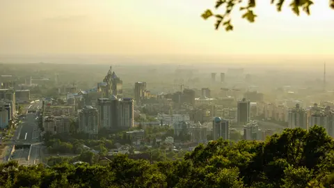 Almaty weather by month: temperature, rain, snow and what to pack
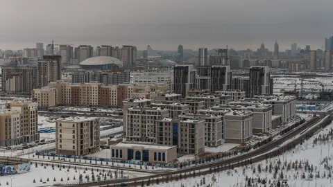 Astana weather by month: how cold it gets, wind and frost
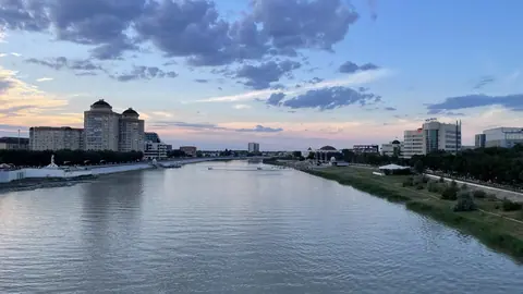 Atyrau, Kazakhstan: weather, sights and what the city works for as a base
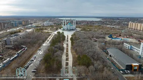 Karaganda, Kazakhstan: what to see in the coal city and when to come
 Pavlodar, Kazakhstan: weather, things to do and the Irtysh river city as a base