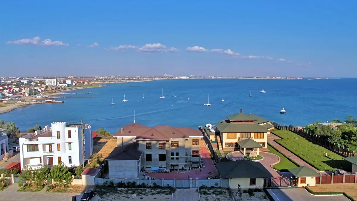
Aktau, Kazakhstan in photos
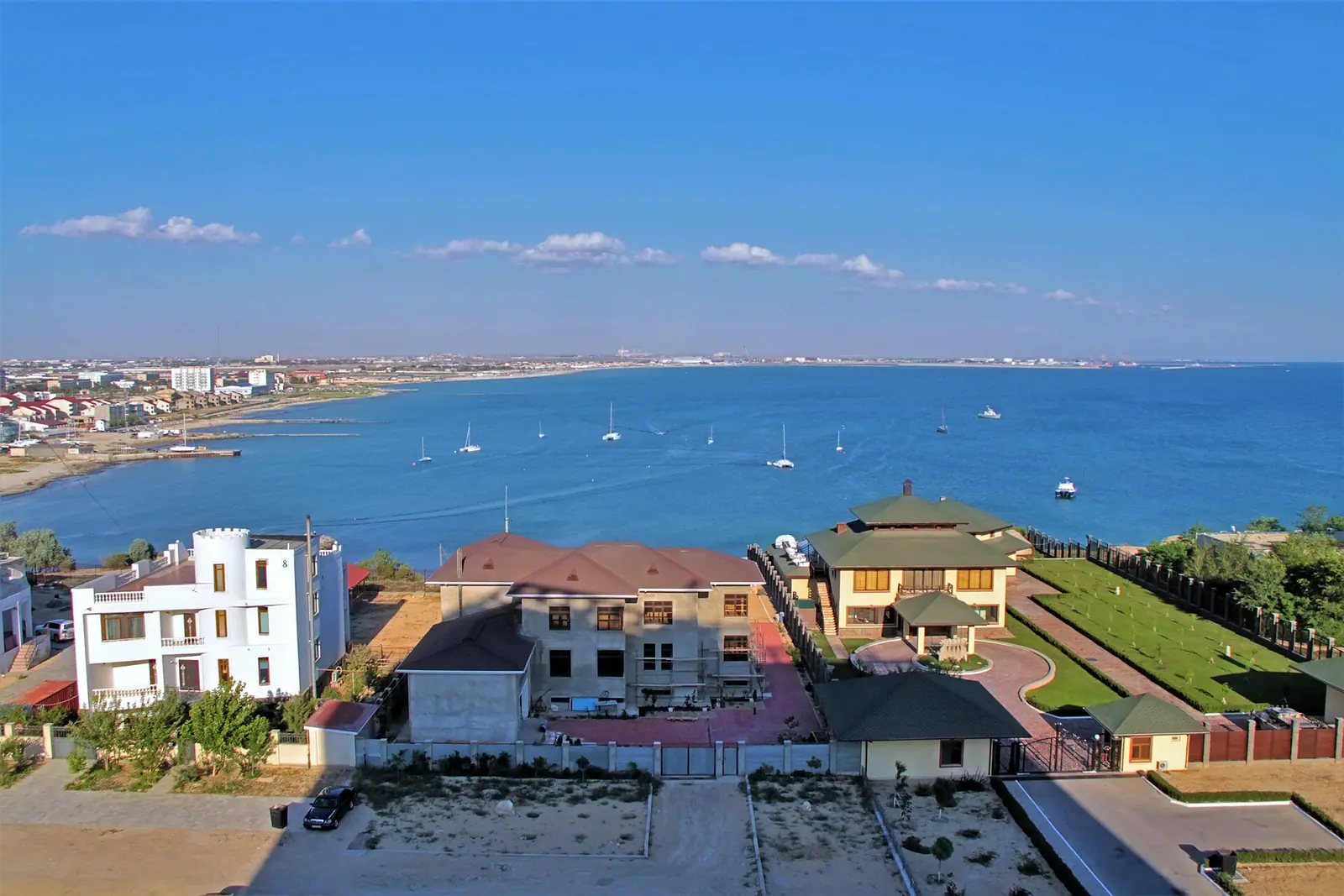
Real photos by travellers (Pexels, Unsplash, Wikimedia Commons); author and licence are given in each caption.
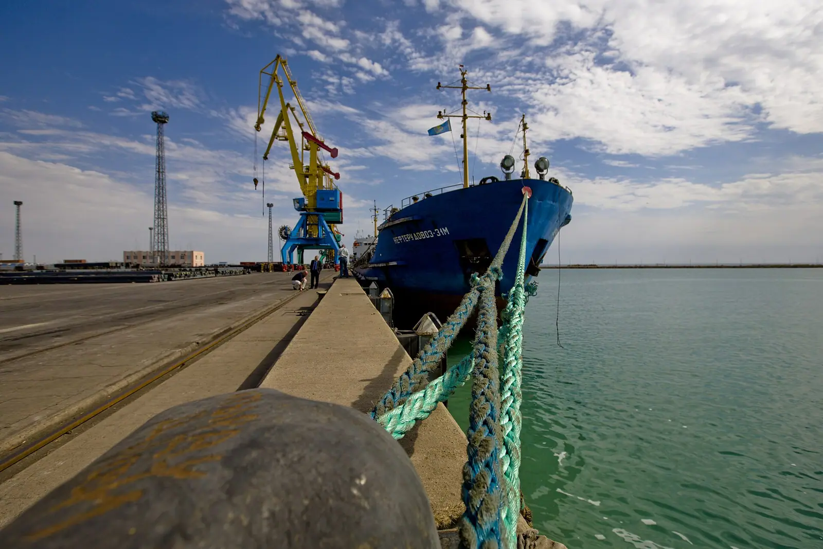
Aktau, Kazakhstan, is the country’s only seaport, a city of about 183,000 people on the eastern shore of the Caspian Sea, built from scratch in the desert after 1958. Inside the city you get a long seafront walk, a summer beach season and a handful of Soviet-era monuments. Its real value for a traveller is as the base for the canyons, chalk landscapes and pilgrimage sites of the Mangystau region.
Where Aktau is and what kind of trip it needs
Aktau sits on the Mangyshlak Peninsula in Mangystau Region, in the south-west of Kazakhstan. It is about 2,080 km in a straight line from Almaty and about 388 km from Atyrau, so for most visitors it is a separate trip by air rather than a side trip from the south-east.
Plan on two layers. One or two days cover the city itself. The desert sights need several more days and some form of road transport, because they lie tens of kilometres out. Without a car and without Russian or Kazakh, the city is manageable, but the desert is harder: we could not confirm any public transport to the main nature sites.
A Soviet uranium town with no natural fresh water
Aktau began in 1958 as a settlement of uranium prospectors on Melovoy Cape. It was a closed town for a time, then was named Shevchenko from 1964 to 1991 after the Ukrainian poet Taras Shevchenko, who was exiled about 100 km to the north-west. The name Aktau returned in 1991; the airport still uses the code SCO.
There is no natural source of drinking water near the city. Water comes from desalinated Caspian seawater mixed with artesian water; the BN-350 fast reactor, run from 1973 to 1999, once powered the world’s first nuclear desalination plant. Wikivoyage describes frequent brown-outs and water shortages, but its text is not dated on this point, so treat it as a warning rather than a current fact. Since 1991 the city has been a centre of the oil and gas industry, and that shapes its look more than tourism does.
Things to do in Aktau itself
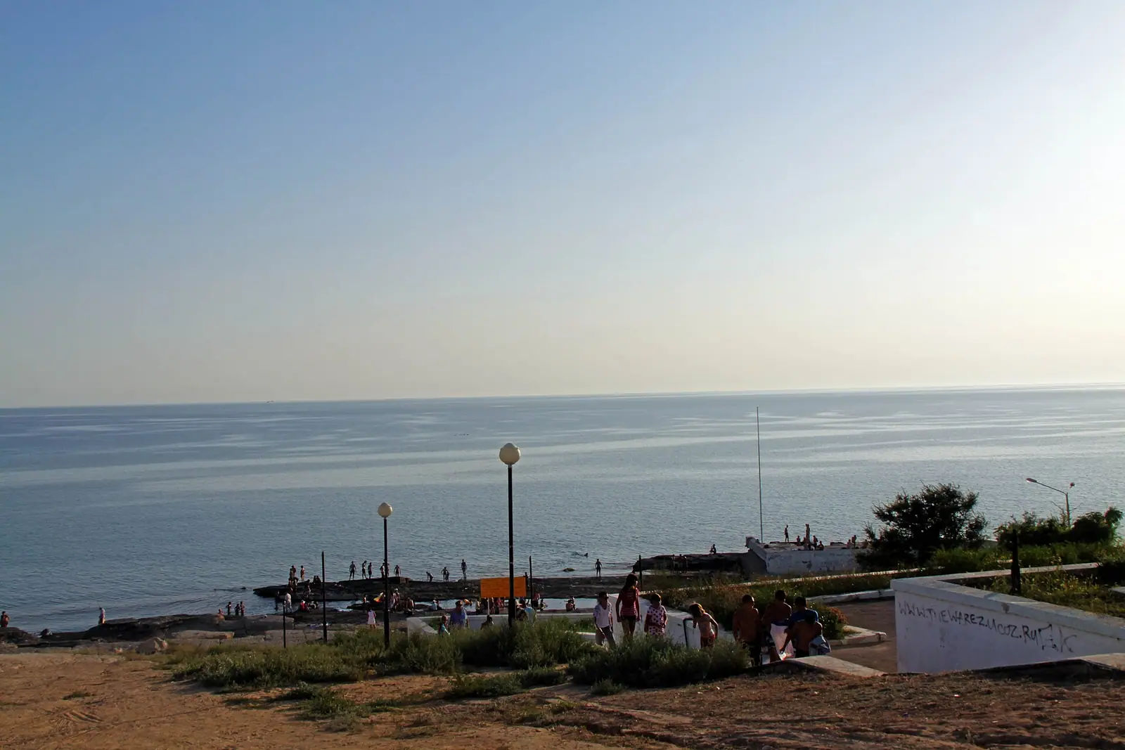
The city’s main attraction is the sea. Aktau has rocky hills and sandy beaches along the shore, a seaside boardwalk trail of several kilometres opened in 2018 with wooden railings, benches and coloured LED lights, and a walking shoreline of around 5 km, described by Russian Wikipedia as the longest in Kazakhstan.
| Sight | What to expect |
|---|---|
| Seaside boardwalk | Plank trail over the rocks, lit at night |
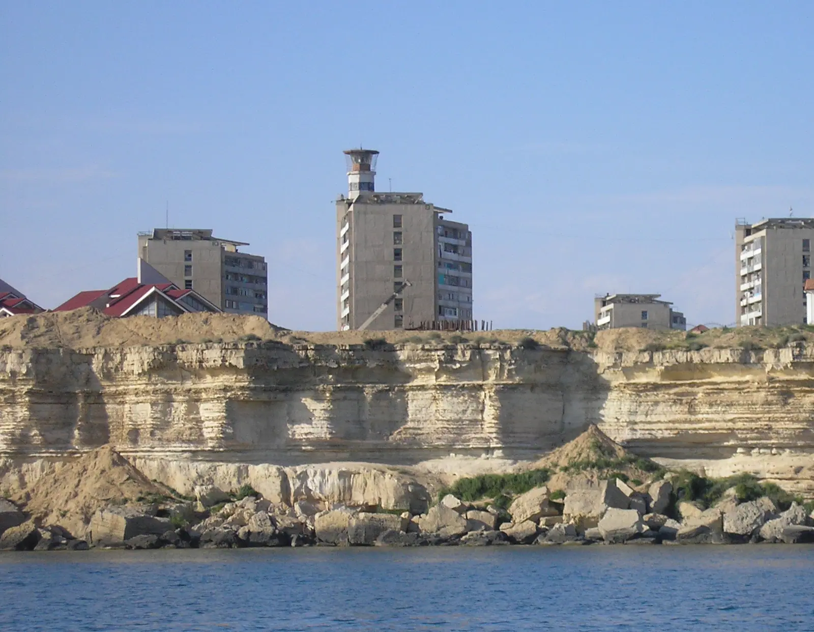
| Lighthouse | Sits on the roof of a residential block in District 4 |
| Eternal Flame memorial | WWII memorial with white arches in the shape of a yurt |
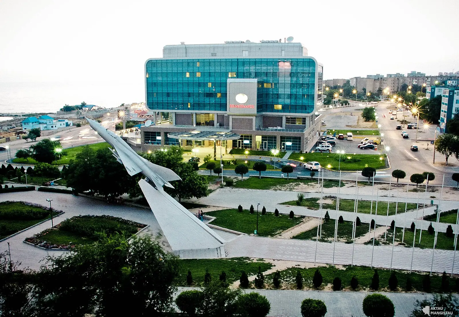
| MiG monument | Soviet-era jet on a pedestal near the memorial and Victory Mall |
| Regional history museum | Holds the text of the lost 1967 time capsule |
| Mangyshlak Experimental Botanical Garden | Irrigated garden; frost-resistant palms trialled from 2021 |
| Drama Theatre | Regular productions in Russian |
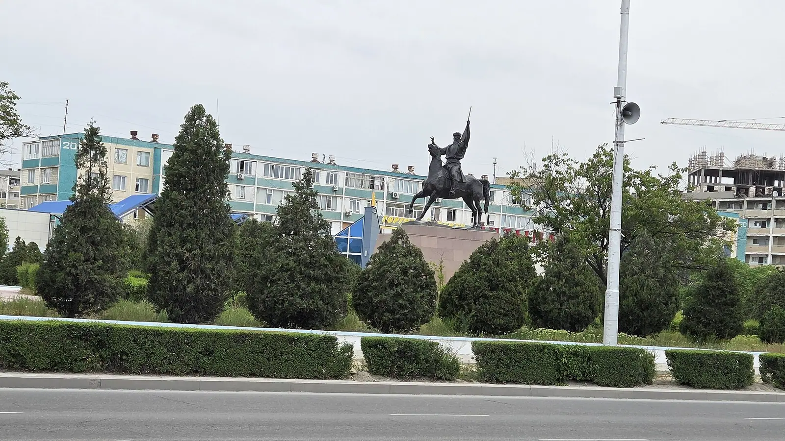
| Yntymak Square and monuments | Statues of Kashagan, Zhalau Mynbayev and Taras Shevchenko |
| District 9 murals | Large frescoes on apartment blocks, seen from District 10 |
The table works as a one-day loop: most of these are along the seafront and the central north-south roads. All vegetation in the city needs watering, so the botanical garden is more interesting as an experiment in the desert than as a lush park.
The Mangystau desert is the main reason to come
Outside the city lies a region of desert plateaus, depressions and old Sufi shrines. The Karagiye Depression, about 40 km south-east of the city, reaches about 130 m below sea level, the lowest point in Kazakhstan and the former Soviet Union. The region sat on minor branches of the Silk Road, which left underground mosques and necropolises such as Beket-Ata, Shakpak-Ata, Shopan-Ata and Masat-Ata. These remain active pilgrimage places: dress modestly and follow the lead of pilgrims.
| Place | Type | Distance from Aktau |
|---|---|---|
| Bozzhyra and Mangystau nature | Desert landscapes | about 72 km in a straight line |
| Torysh valley of balls | Stone spheres | about 86 km in a straight line |
| Sherkala mountain | Rock outcrop | about 96 km in a straight line |
| Karagiye Depression | Below-sea-level basin | about 40 km |
Road distances will be longer than these figures. Our guides to Bozzhyra and Mangystau, the Torysh valley of stone balls and Sherkala cover each place in more detail. Wikivoyage also lists Fire Mountain (Otpantau), the Tamshali and Saura oases and radon hot springs with mud baths in the region; we could not confirm their distances or access.
Aktau weather: when to go
Aktau has a cold desert climate with hot, dry summers and chilly winters. The figures below are computed normals for 2011–2020 from the ERA5 reanalysis for a grid point at 17 m on the coast, not from a weather station.
Day high, °C / Night low, °C · Rain/snow, mm
A computed reanalysis normal for these coordinates, not weather station records.
Monthly figures
| Month | Day high, °C | Night low, °C | Rain/snow, mm |
|---|---|---|---|
| Jan | 3 | -2.6 | 14.8 |
| Feb | 4 | -3.1 | 9.2 |
| Mar | 10.2 | 2.4 | 20.5 |
| Apr | 16.9 | 8 | 18 |
| May | 25.3 | 15.9 | 15.4 |
| Jun | 30.8 | 20.8 | 8.5 |
| Jul | 33.3 | 23.4 | 8.9 |
| Aug | 32.2 | 21.9 | 5.3 |
| Sep | 26.1 | 15.8 | 8.6 |
| Oct | 17.8 | 8.6 | 9 |
| Nov | 9 | 2 | 15.5 |
| Dec | 4.1 | -1.3 | 16.1 |
May, June and September are the comfortable months: daytime highs of 25–31 °C and nights of 16–21 °C. July and August peak at about 32–33 °C by day and stay near 22–23 °C at night, so there is little relief after dark. The grid point is on the shore and the sea softens it; out in the desert the summer heat is likely to be stronger, and Russian Wikipedia records city peaks of up to 44 °C. Our Mangystau month by month data bears this out: inland Mangystau averages 22 days of 35 °C or more in July, Aktau on the coast 11. Rain is rare in every month, about 160 mm a year in these normals against about 140 mm in Russian Wikipedia, with August the driest at under 5 mm.
Winter is cold rather than harsh: January and February highs of 3–4 °C, nights just below freezing. The beach season runs from late May to mid-September by Russian Wikipedia, or to late August by English Wikipedia, with water around 18 °C; for much of the year the sea near Aktau is cold.
Getting in and around without a car or Russian
Most visitors fly. The airport is about 24–25 km north of the city; sources disagree on the bus route, naming No. 11 and No. 6, so check a live map app before relying on it. Wikivoyage notes the last bus to the airport was listed around 21:00 and that taxis and ride-hailing are easiest. Domestic flights link Aktau with Almaty, Astana and Atyrau; international routes have included Baku, Tbilisi, Kutaisi and Istanbul, but schedules change.
There is no railway station in the city. Trains stop at Mangystau station, 15–20 km away depending on the source, linked to town by bus No. 105, which ran every 10 minutes until 20:00 in September 2024. The train from Astana takes about two days, from Almaty about three. The ferry sold as Baku–Aktau actually runs between Alat and Kuryk, both far outside the named cities.
Addresses have no street names. A location such as 14-42-30 means district 14, building 42, apartment 30. Taxi drivers rarely speak English, so have your address written down and say ‘micro-raion’ followed by the district number.
- Any public transport or shared transfers from Aktau to Bozzhyra, Torysh, Sherkala or the pilgrimage sites.
- The current airport bus route number, since sources name both No. 6 and No. 11.
- Opening hours and entry rules for the regional museum and the botanical garden.
- Road conditions to the desert sites and whether a 4x4 is needed.
- Whether the power and water shortages described by Wikivoyage still occur.
Frequently asked questions
Where is Aktau, Kazakhstan?
What are the Aktau mountains?
What is the weather like in Aktau in summer?
Can you swim in the Caspian Sea at Aktau?
How do I get from Aktau airport to the city?
Sources
Read also
 Things to do in Taraz, the old Silk Road city near the Kyrgyz border
 Things to do in Taldykorgan, and how the city works as a base for Jetisu nature
 Things to do in Oskemen, the river city at the edge of the Altai
 Things to do in Almaty: 10 places, a one-day plan and three days without a car
 Things to do in Konaev, the reservoir town north of Almaty
 Things to do in Kyzylorda, the desert city on the Syr Darya