Verified: 2026-10
Valley of Castles: why go
Sandstone castles and towers
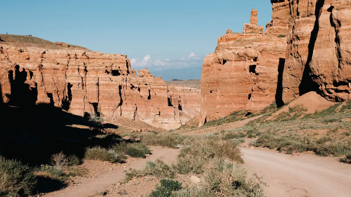
Red sandstone lies in beds of differing hardness. Softer ones wash out faster, until lone castles and towers split from the massif.
Reading the Valley's layers
Horizontal bedding lines run on from one column to the next: they were once a single layer, not a set of separate rocks.
A flat trail along the floor
The trail follows the dry floor from west to east with almost no climbing; the hard part is the walk back up to the rim.
The park's descent shuttle
Walking the equipped path down is free; the park's transport costs 0.2 MCI per seat one way. Many use it for the climb back.
Light in the Valley of Castles
At noon the sandstone looks flat; the first and last hour of daylight bring out the relief. In October Almaty's sunset is about 17:12.
Valley of Castles or Red Canyon?
The names get mixed up. If you passed the park checkpoint and took the equipped descent towards the river, you are in the Valley of Castles.
Valley of Castles in photos
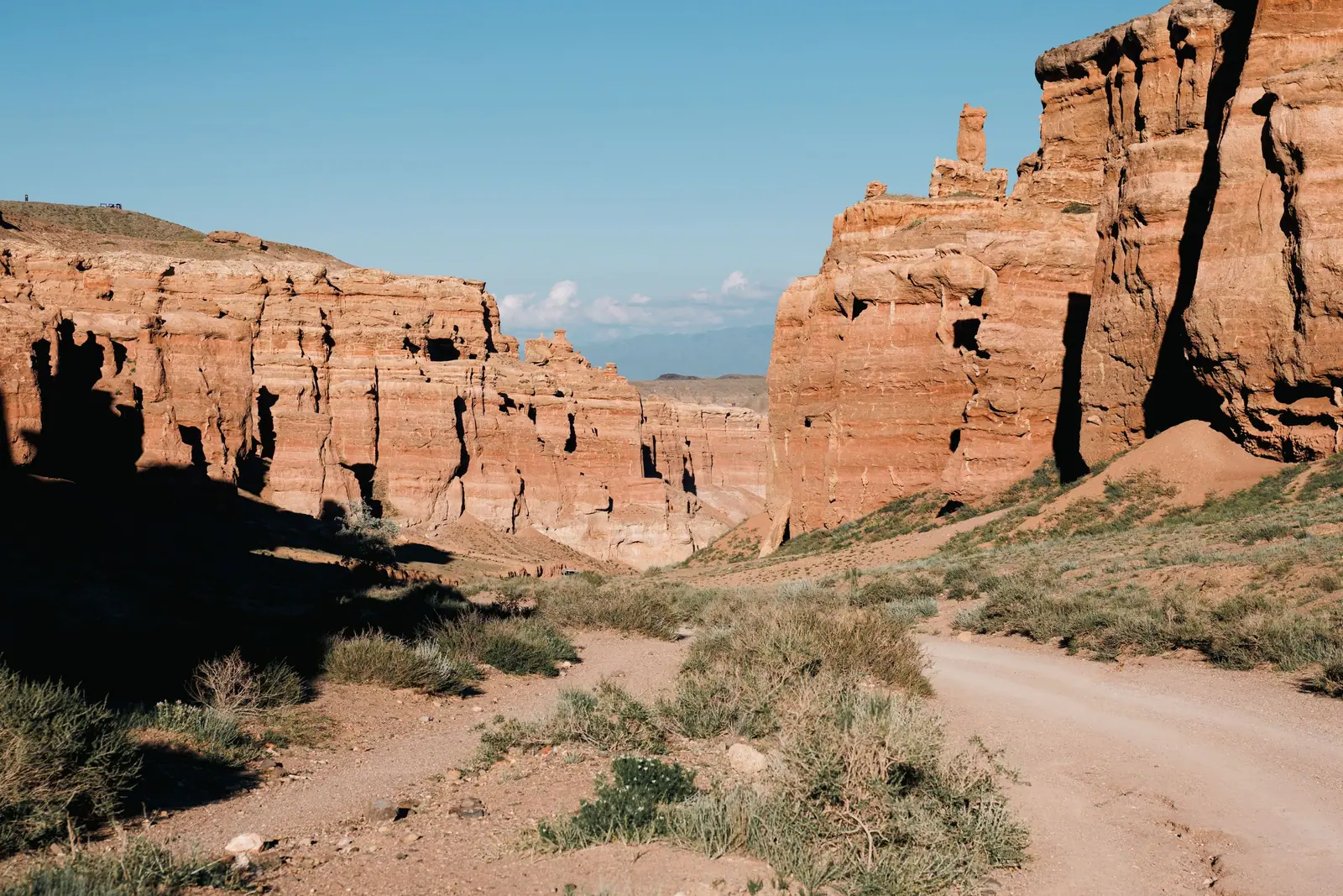
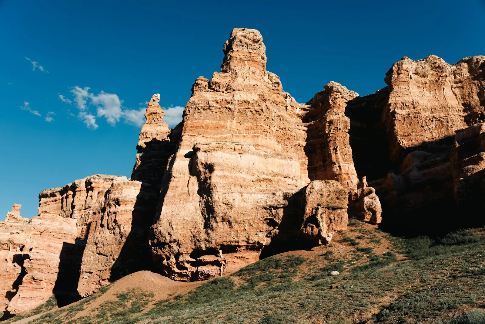
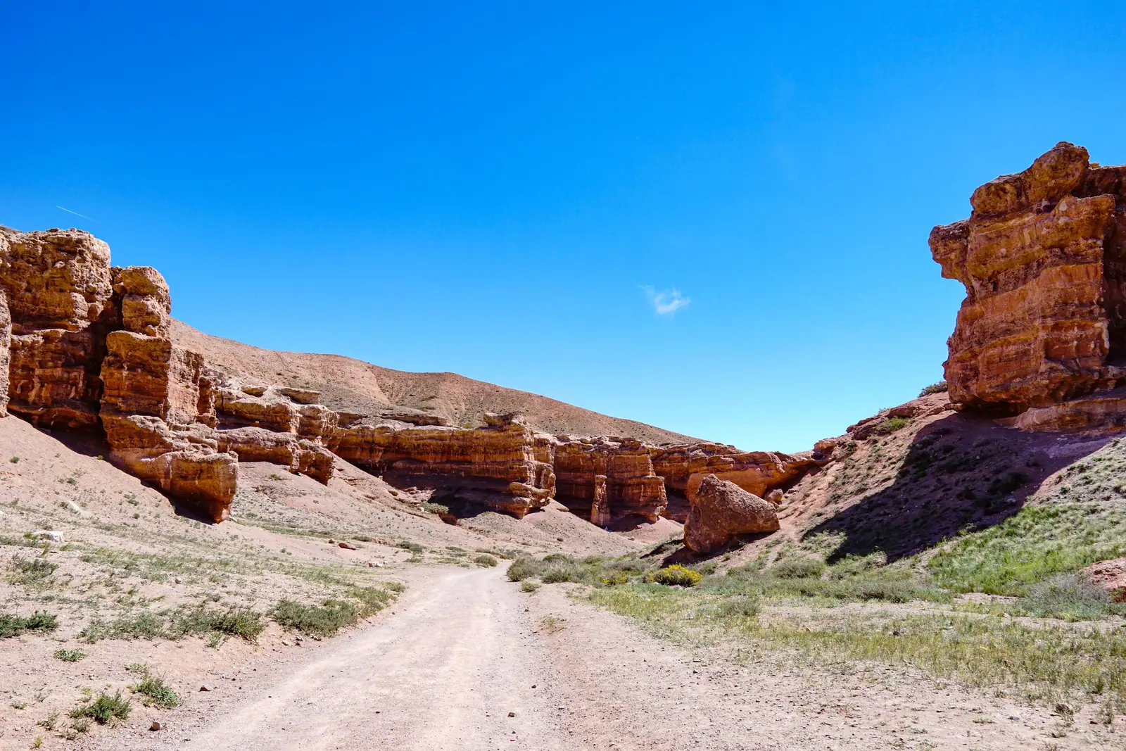
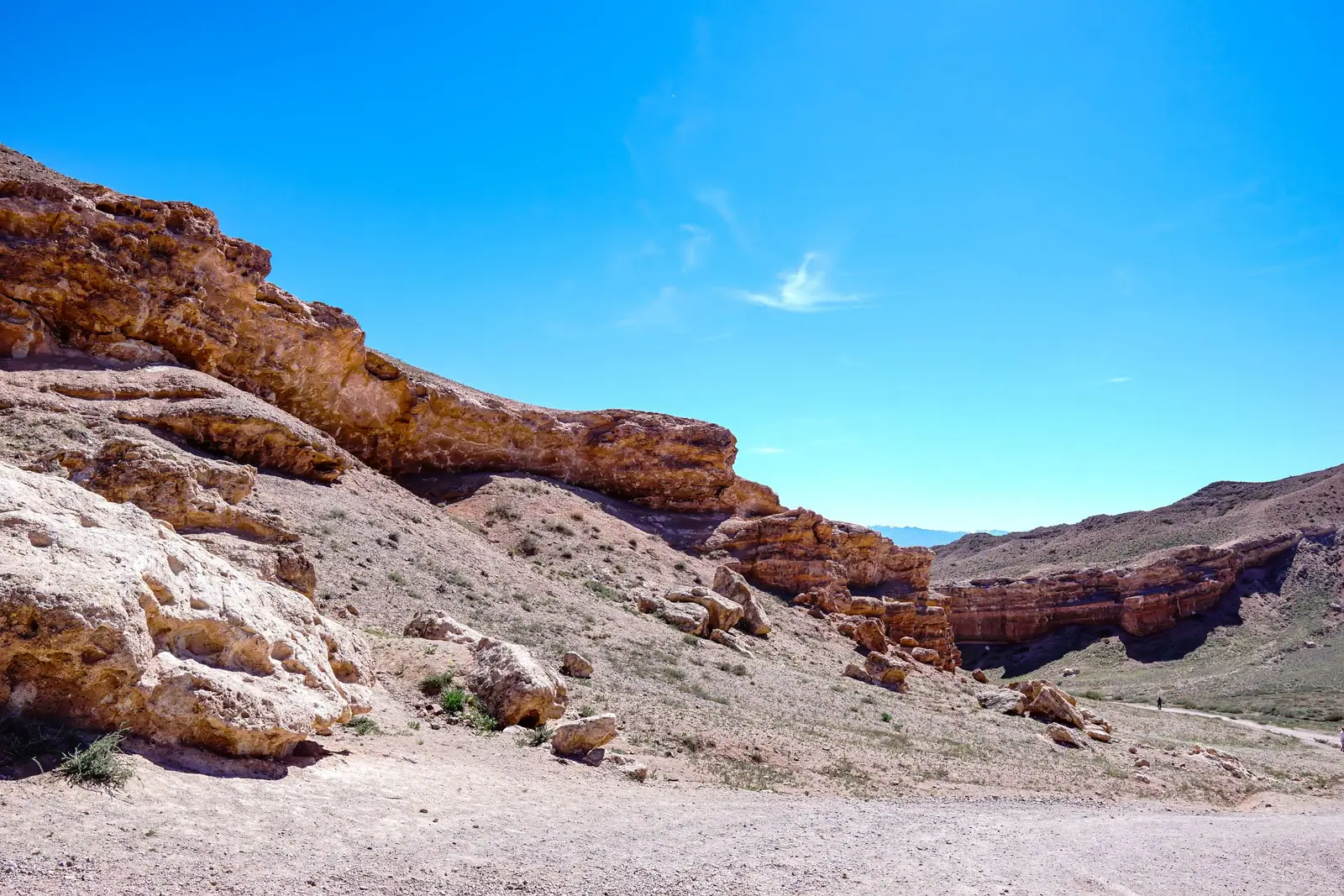
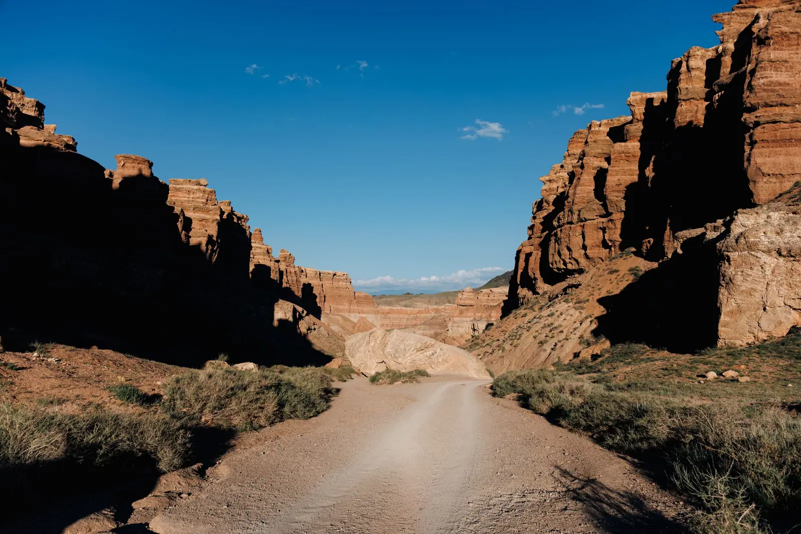
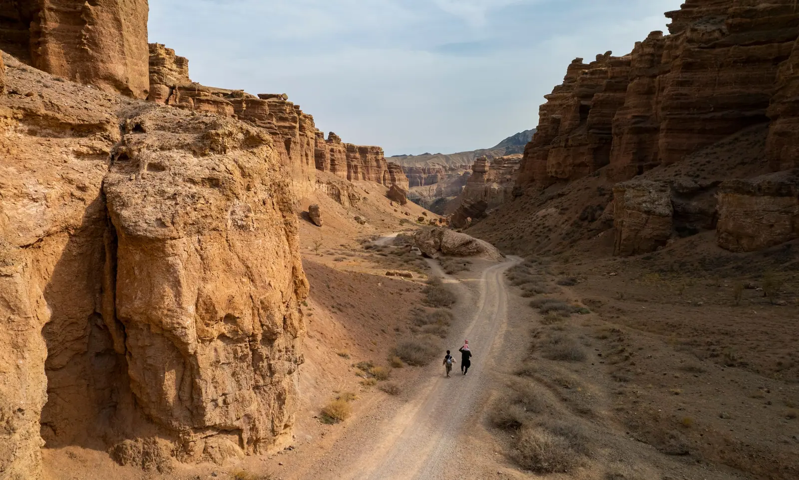
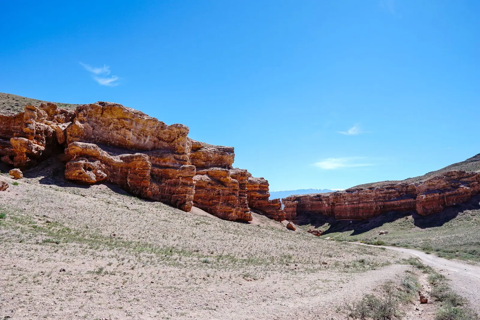
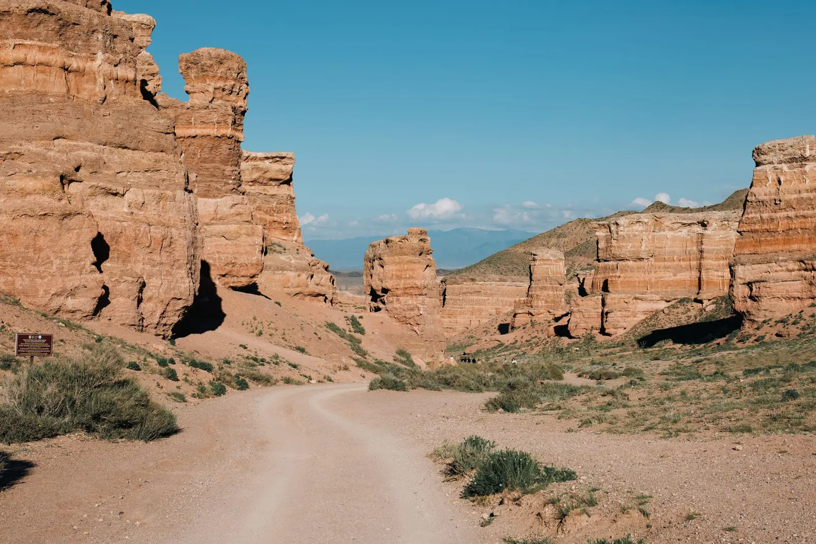
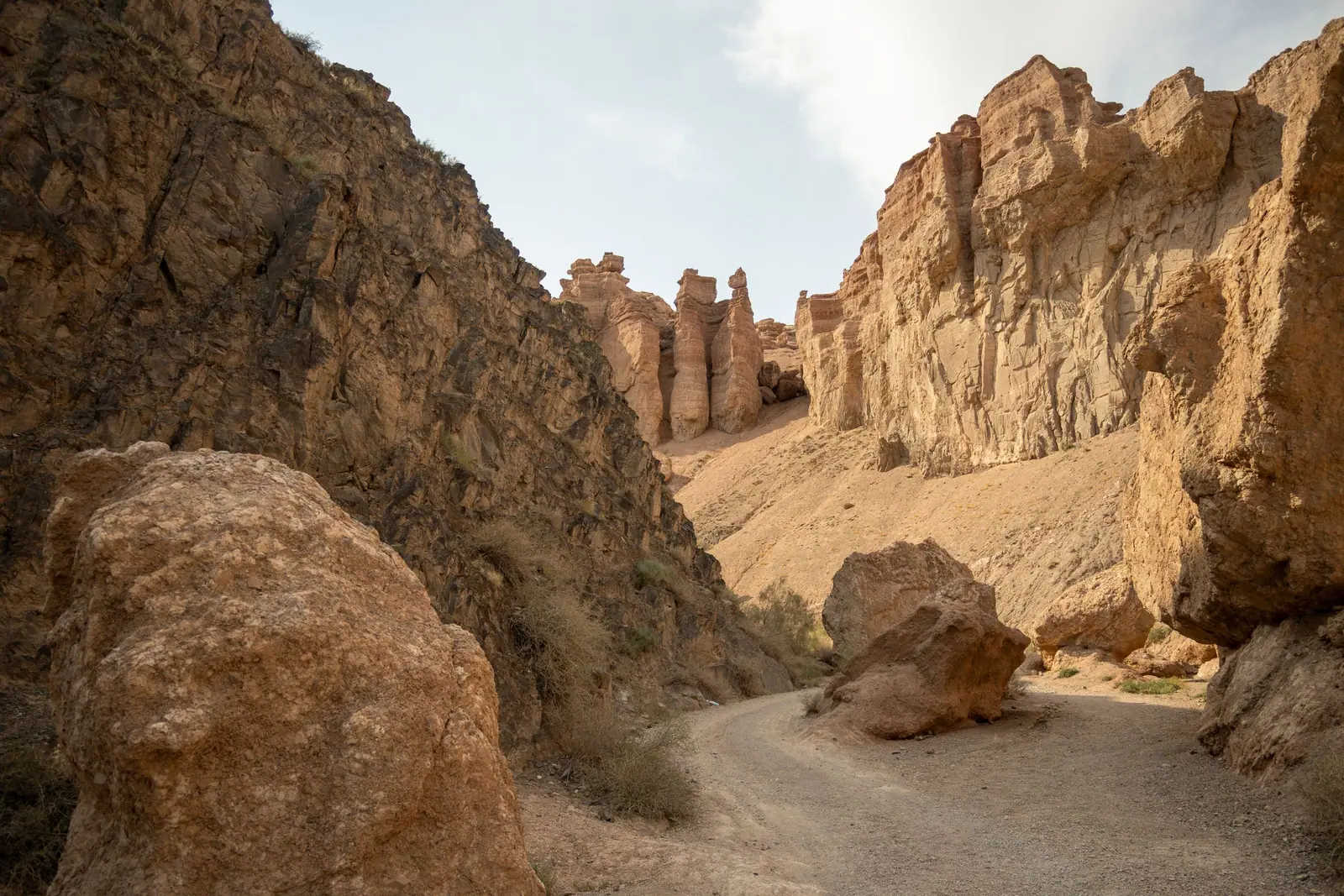
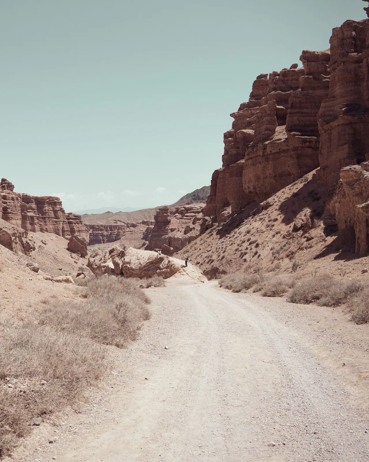
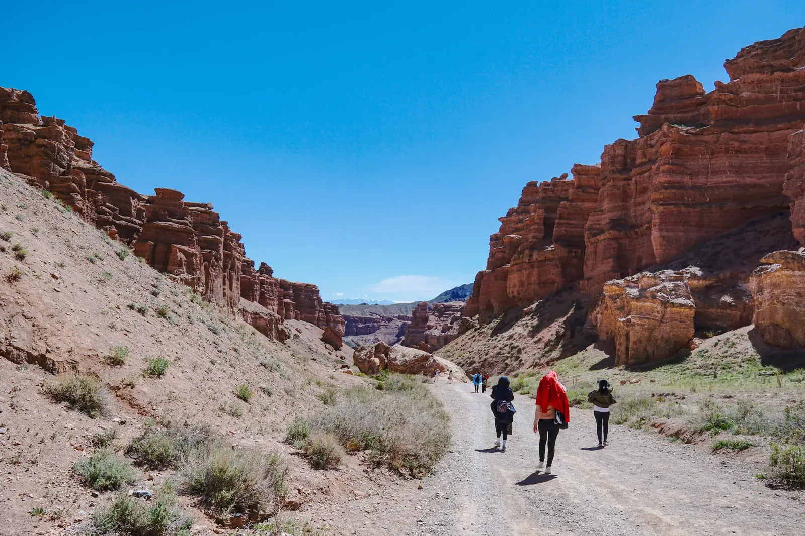
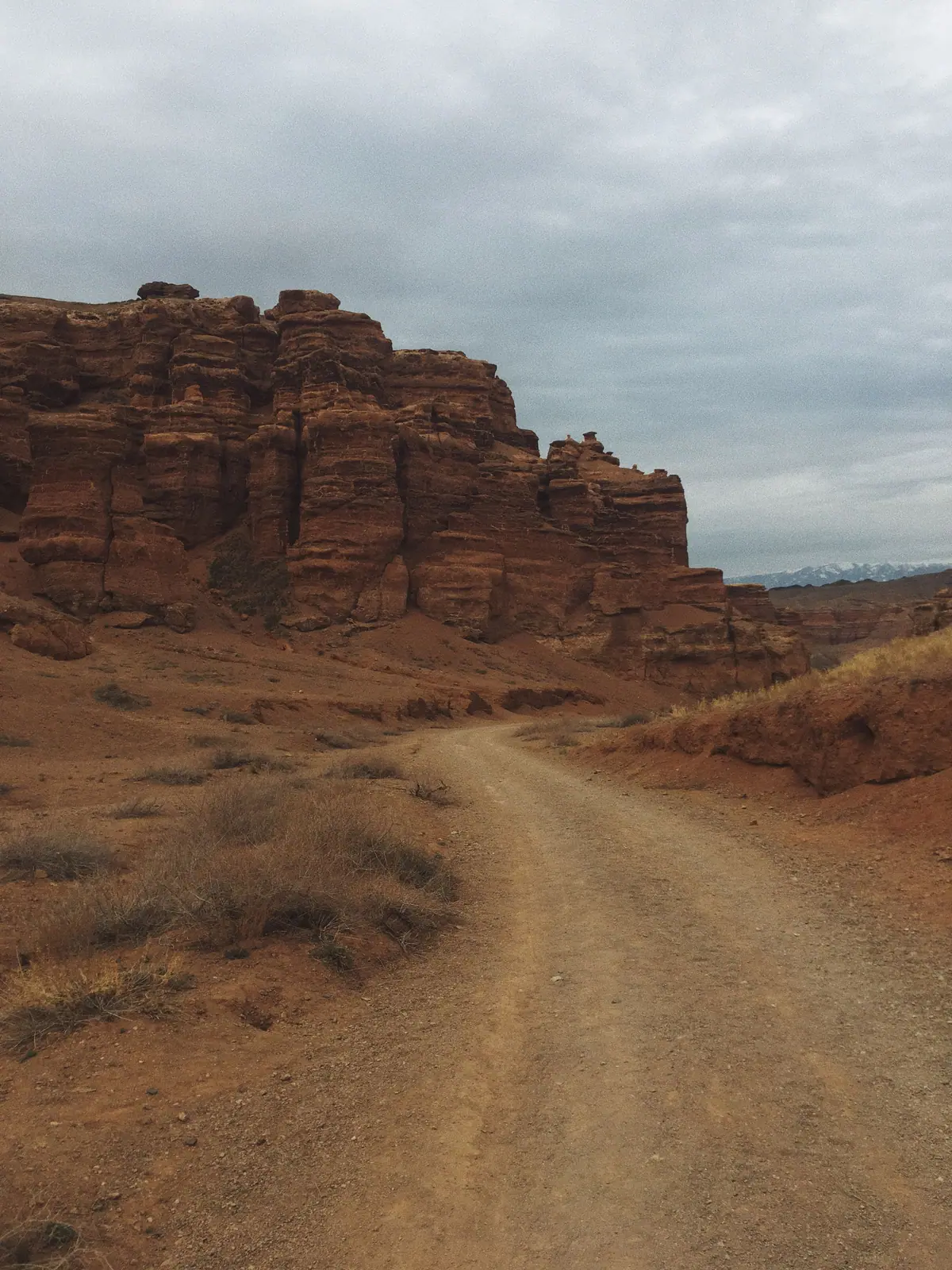
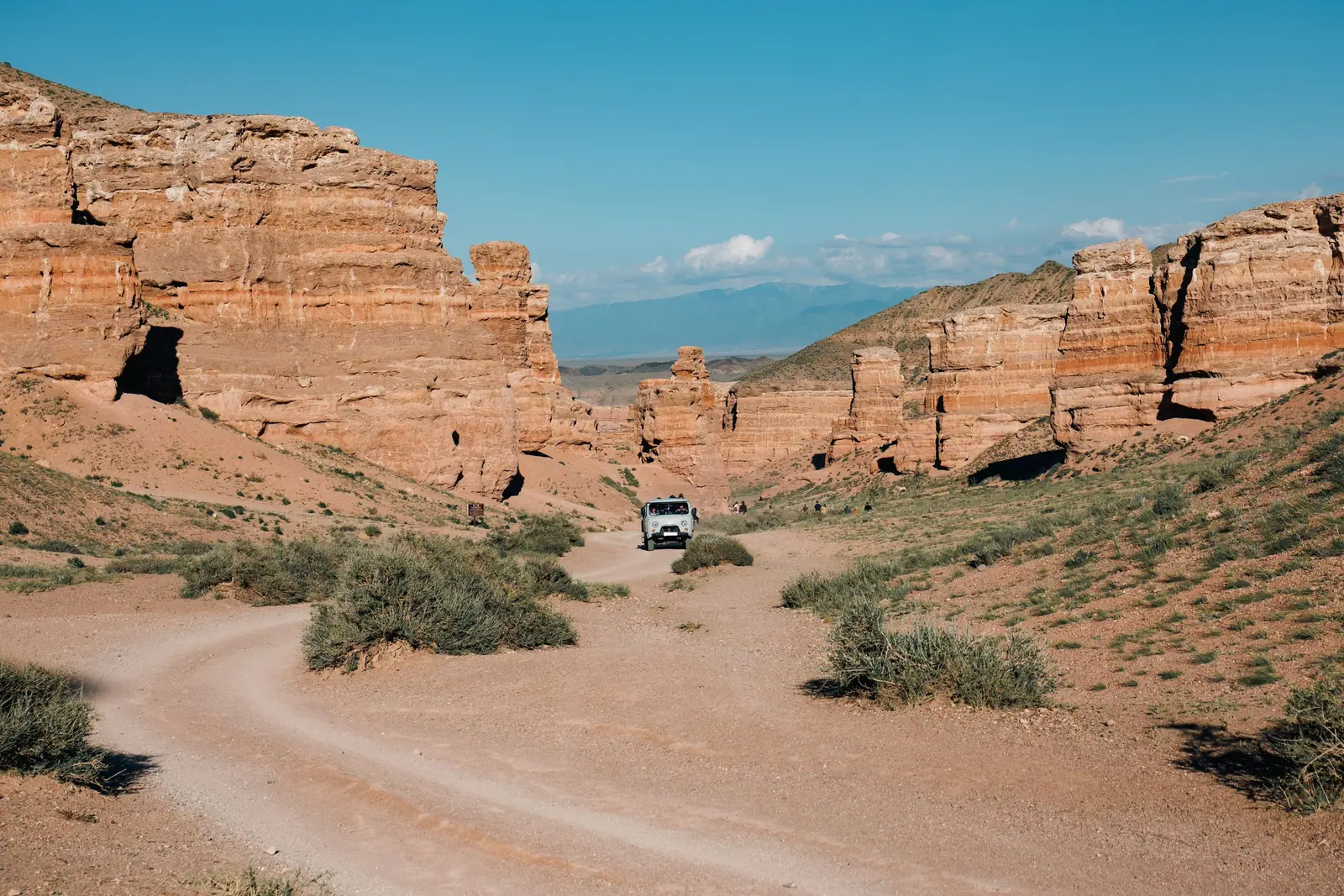
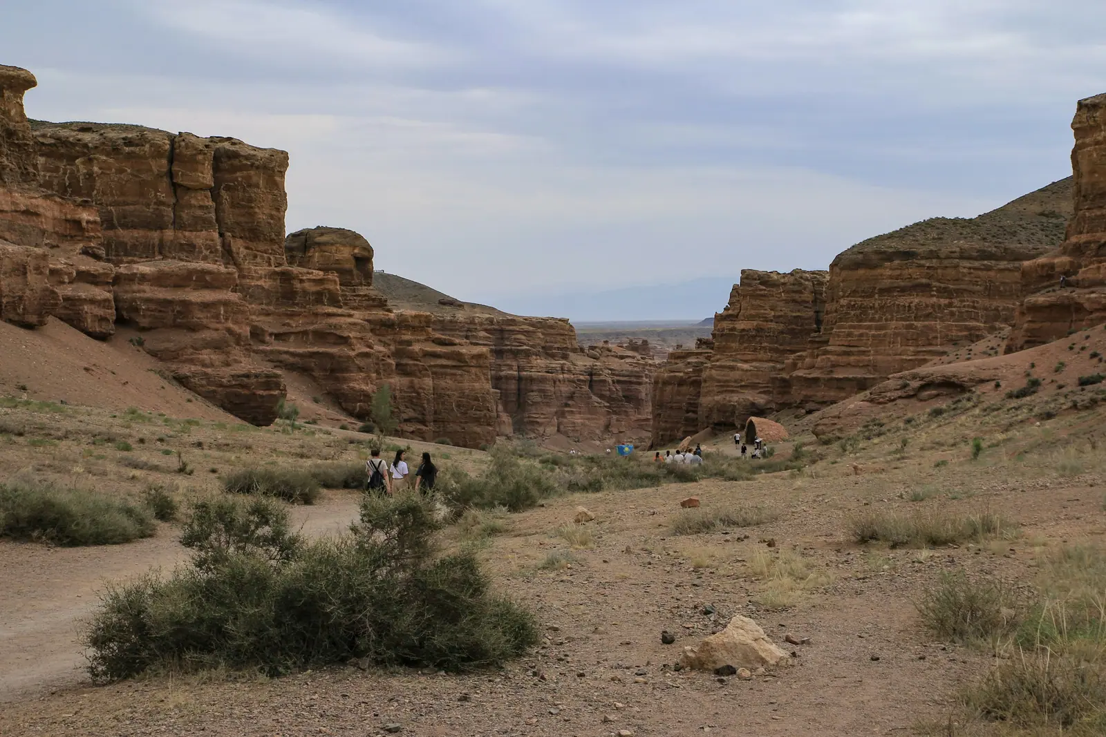
Real photos by travellers (Pexels, Unsplash, Wikimedia Commons); author and licence are given in each caption.
The Valley of Castles is what people come for. The tract runs three kilometres long and 200 to 700 metres wide, at roughly 1,300 metres above sea level, on a fault in the earth’s crust. It lies about 195 km east of Almaty, with the last 10 km or so on an unpaved road, and the most comfortable months are April–May and September–October.
The Valley of Castles in numbers
Sources disagree on the size of the tract, and it helps to know that before you notice different figures in different guidebooks.
| Attribute | Value | Source |
|---|---|---|
| Length | 3 km | park materials, English Wikipedia |
| Length | about 2 km | Russian Wikipedia (unsourced) |
| Width | 200–700 m | park materials |
| Width | 20–80 m | Russian Wikipedia (unsourced) |
| Elevation | about 1,300 m | park materials |
| Canyon wall height | 150–300 m; up to 370 m per park materials | Wikipedia, Forestry Committee |
| Distance from Almaty | about 195 km | park materials |
| Unpaved stretch to the checkpoint | about 10 km | park materials |
The likeliest explanation is that the sources measure different things — the width between the upper rims versus the width of the corridor on the floor. We give both rather than picking one on your behalf.
Are the Valley of Castles and the Red Canyon the same thing?
Both names appear in guidebooks, often interchangeably. Russian Wikipedia writes “the Red Canyon, or Valley of Castles” and gives the Red Canyon its own set of figures: about 3 km long, 20 to 130 m wide, up to 100 m deep. For the Valley of Castles the same article gives about 2 km in length and 20–80 m in width. English Wikipedia, by contrast, lists the Red Canyon among the five canyons of the system as something separate from the Valley of Castles.
The practical takeaway: if an excursion promises “the Red Canyon”, ask which place is meant. If you arrive at the equipped descent past the park checkpoint and walk the floor towards the river, you are in the Valley of Castles, whatever the brochure calls it.
Why the rocks look like this
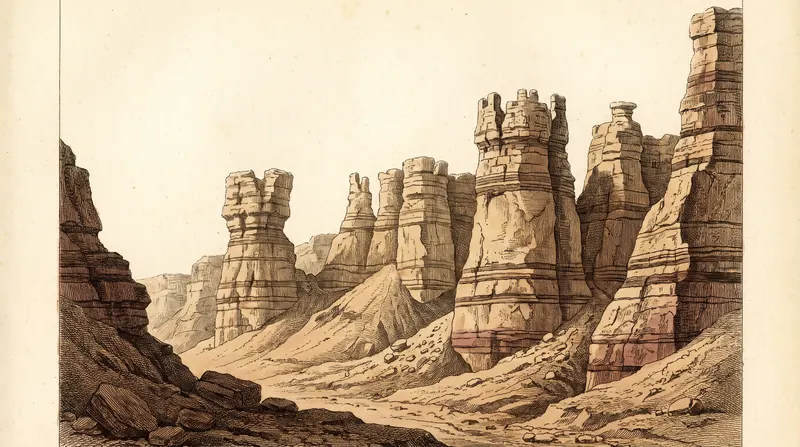
The rock is red sedimentary sandstone laid down in horizontal beds of differing hardness. Softer layers erode faster, so the wall retreats in steps rather than as a flat plane: ledges above, hollows below.
Given enough time, isolated remnants separate from the massif — the “castles” and “towers”.
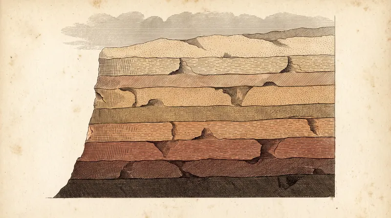
You can check this on site: the horizontal bedding lines continue from one column to the next, because they were once a single layer. It is the clearest way to see that you are looking not at separate rocks but at the remains of a dismantled massif. For the age of the rock — and why “a million years” and “twelve million years” both appear in print without contradicting each other — see how Charyn Canyon was formed.
Russian Wikipedia describes the Valley of Castles as a dry gorge cut by meltwater. That is why you can walk along its floor: there is no permanent stream in it, and the Charyn River flows where the tract opens onto the main canyon.
How the trail works
The path follows the floor from west to east across level ground, with almost no elevation gain inside the canyon.
The effort is at the entrance and exit. The descent is equipped; the climb back is harder, especially in heat, when the sandstone radiates and there is no shade.
Hence the park’s paid descent transfer, charged per seat one way. Many take it for the climb rather than the way down.
According to English Wikipedia, the site has three car parks, and at the bottom there are two gazebos serving food and five rest yurts. We have not checked how current that list is in 2026.
The “Charyn Canyon — Valley of Castles” route is one of four visitor routes the Committee for Forestry and Wildlife listed for the park in June 2026. The others are the ash grove, “Burial grounds and kurgans” and “Temirlik — the Small Canyon”.
What entry and the descent cost
Charyn’s tariffs are set in appendix 14 of Order No. 232 of the Minister of Ecology and Natural Resources, dated 2 October 2024 — expressed not in tenge but as fractions of the MCI (monthly calculation index).
| Service | Tariff |
|---|---|
| Per person, per day | 0.2 MCI |
| Passenger car, per entry | 0.7 MCI |
| Car parking, per day | 0.05 MCI |
| Transport down into the canyon, per seat one way | 0.2 MCI |
The MCI is reset every January, so we do not print local-currency amounts. The national park fee calculator does the conversion for the current year, and the full breakdown of fees and discounts is on what entry to Charyn Canyon actually costs.
When to go, and what time of day
The seasonal logic is simple. Kazakh Tourism notes summer temperatures of about +35 °C, and the floor of the tract offers no shelter from the sun at all. Winter brings about −10 °C, almost nobody else, and a trail that can be slippery. Spring and autumn are the comfortable windows.
Time of day matters more than month. At noon the red sandstone looks flat, both to the eye and to a camera: sun overhead, almost no shadow. The first and last hour of daylight bring the relief out. Almaty reference times: in June the sun rises around 4:13 and sets around 19:35 on average, in October around 6:06 and 17:12, in December around 7:18 and 16:18. The canyon lies east of the city, so sunrise and sunset there come slightly earlier.
What to plan for
No shade, on the floor or the trail. In summer, start early.
Stay on the trail and away from the edges. The weathered rim is unreliable.
Bring more water than you think you need.
Keep your payment receipt until you leave. The visiting rules prohibit being on the territory without proof of payment.
Wear shoes with grip. The descent runs over loose ground, which turns slippery in winter and after rain.
Walking time, whether drinking water and toilets exist on the canyon floor, and the price of the descent transfer.
The transfer tariff in MCI is confirmed by Order No. 232; how often the vehicles run, and whether they run in every season, is not.
What else is nearby
The Valley of Castles is three kilometres out of the canyon’s 154 kilometres. The Sarytogay ash grove and the quiet canyons of the system — Temirlik, Bestamak and Kurtu — are covered in the canyons without crowds. If you can stay overnight, do: the walls are at their best in the low morning light, before the first day visitors arrive.
→ Getting there → What entry costs → Rules of visiting
Video
Valley of Castles: when to go, month by month
- January: possible
- February: possible
- March: possible
- April: best time
- May: best time
- June: possible
- July: possible
- August: possible
- September: best time
- October: best time
- November: possible
- December: possible
April–May and September–October; summer hits +35 °C with no shade, winter about −10 °C with a slippery trail.
Valley of Castles: tips before you go
- Wear shoes with grip: the descent is loose ground, slippery in winter and after rain.
- Stay on the trail and away from the edges: the weathered sandstone rim is unreliable.
- Bring more water than you think and start early in summer: there is no shade on the floor or the trail.
- Keep your receipt until you leave: being on the territory without proof of payment is prohibited.
More to see nearby


Frequently asked questions
How long is the walk through the Valley of Castles?
How high are the walls?
Do I have to walk down?
How much is the shuttle down into the Valley of Castles?
Where is the Valley of Castles and how do I get there?
What is the best time to visit the Valley of Castles?
Can I drive my own car into the Valley of Castles?
Sources
- Materials of the Charyn National Park administration
- Government Resolution No. 657 of 30 June 2005
- Order of the Minister of Ecology and Natural Resources No. 232 of 2 October 2024, appendix 14 — Charyn park tariffs
- Charyn National Park — Wikipedia (Valley of Castles: 3 km, 200–700 m, 10 km dirt road)
- Чарынский каньон — Russian Wikipedia (alternative dimensions)
- Committee for Forestry and Wildlife of Kazakhstan: Charyn park overview, 18 June 2026
- Kazakh Tourism: Charyn Canyon guide
- Almaty sunrise and sunset by month (solarwatch.app)
- Charyn Canyon — Wikipedia (five canyons of the system)