Verified: 2026-10
Photographing Charyn in photos
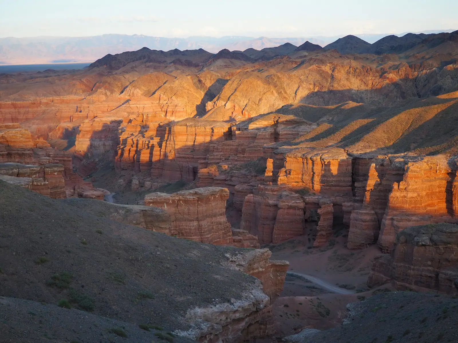
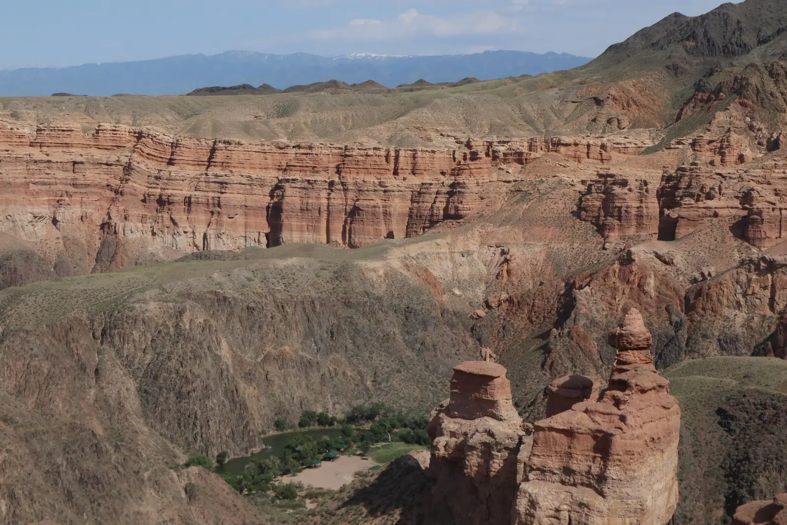
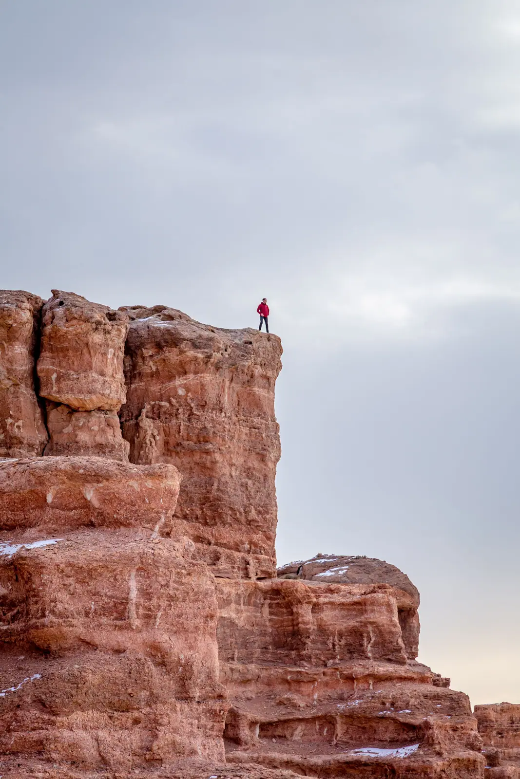
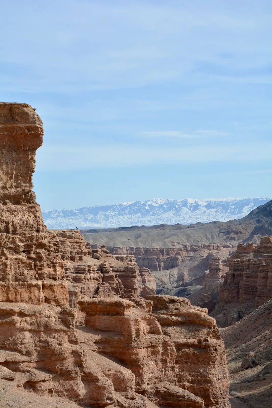
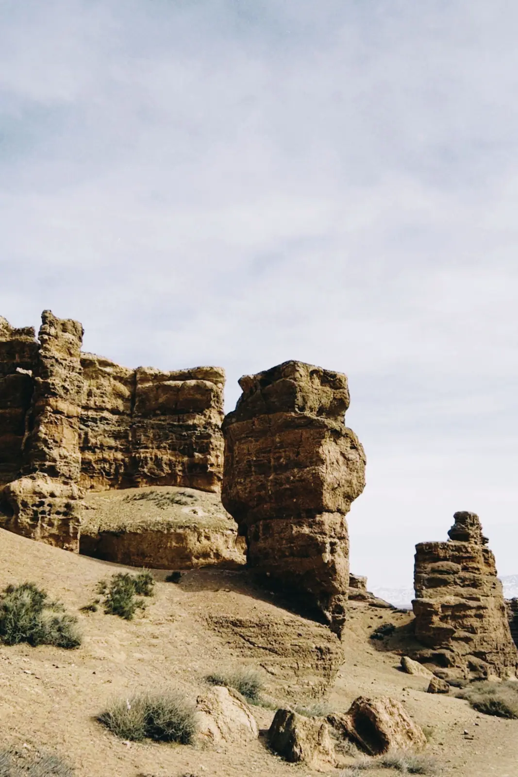
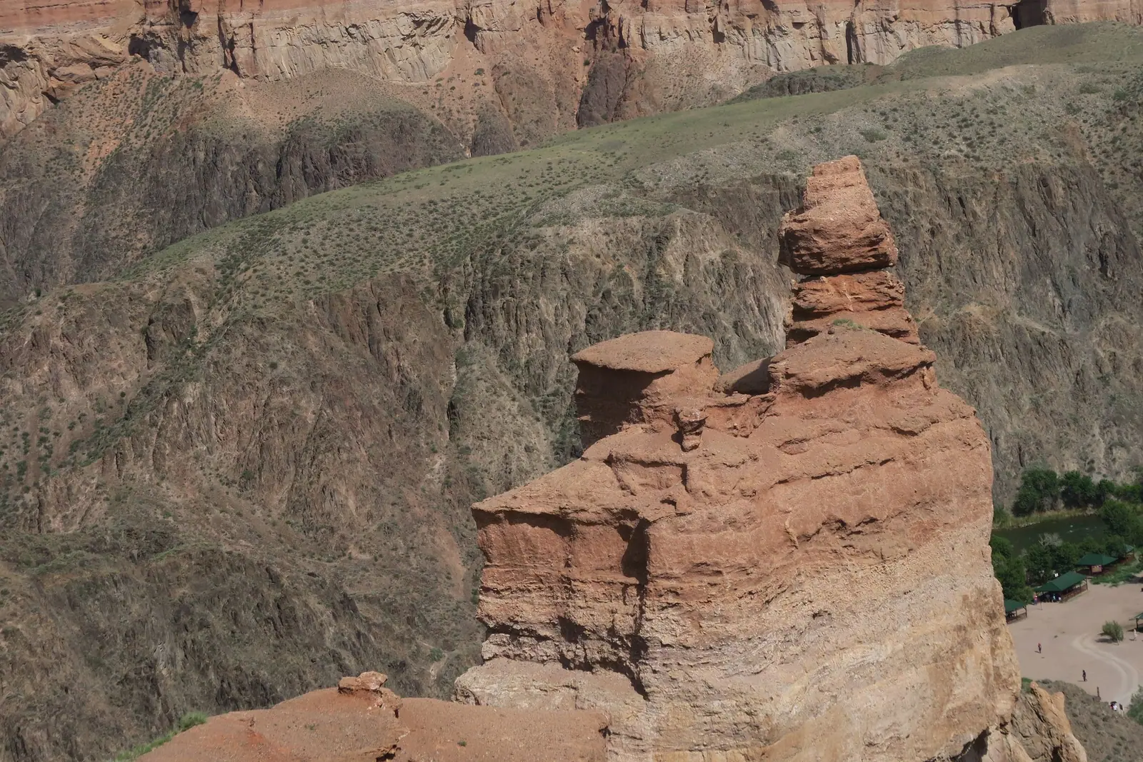
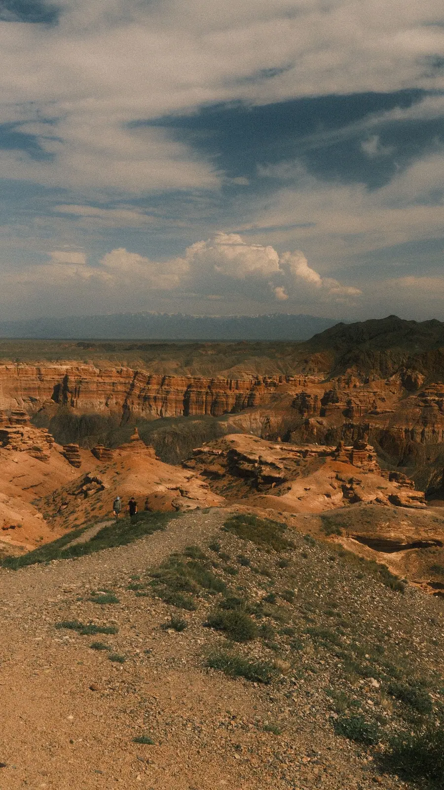
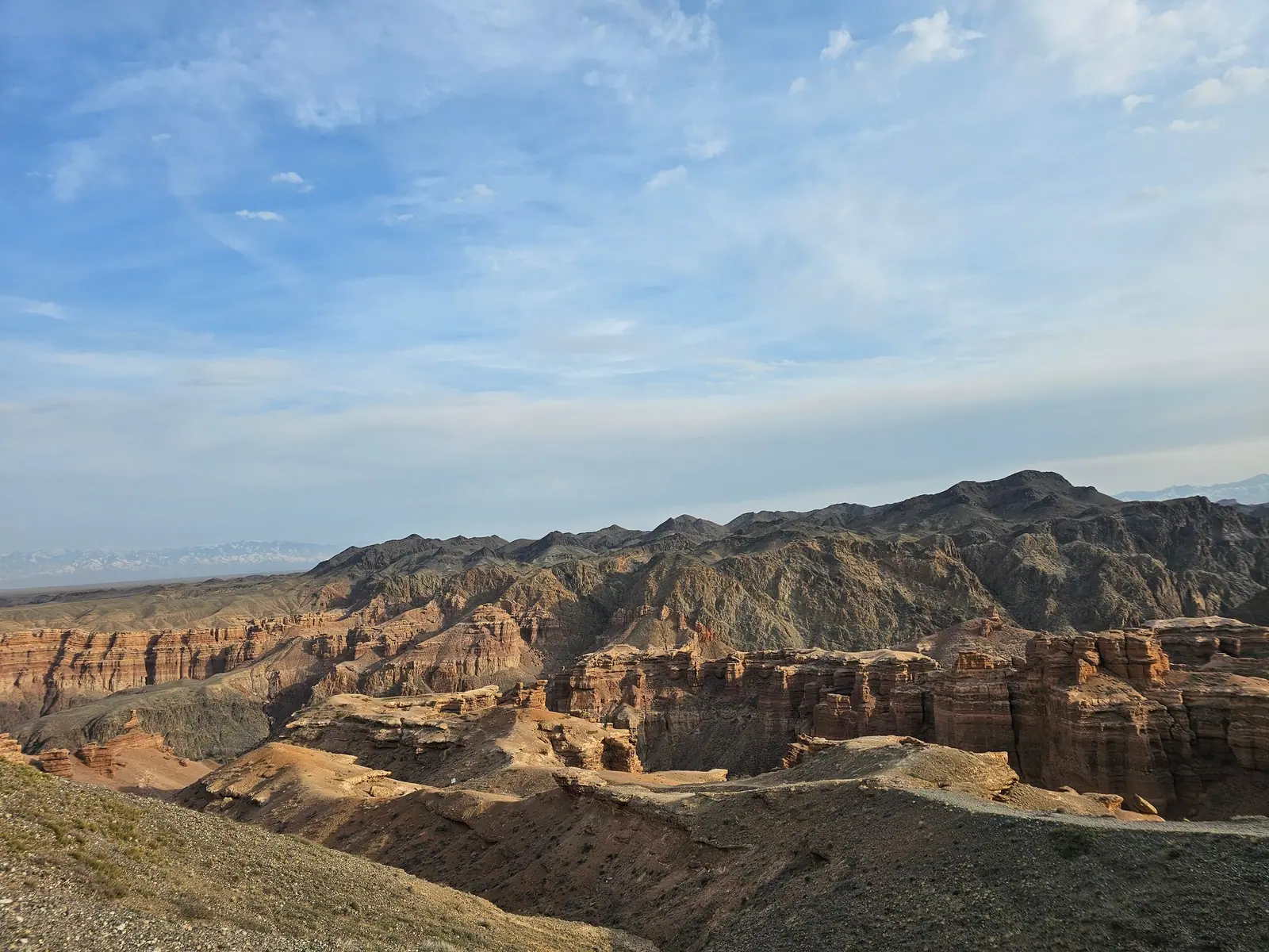
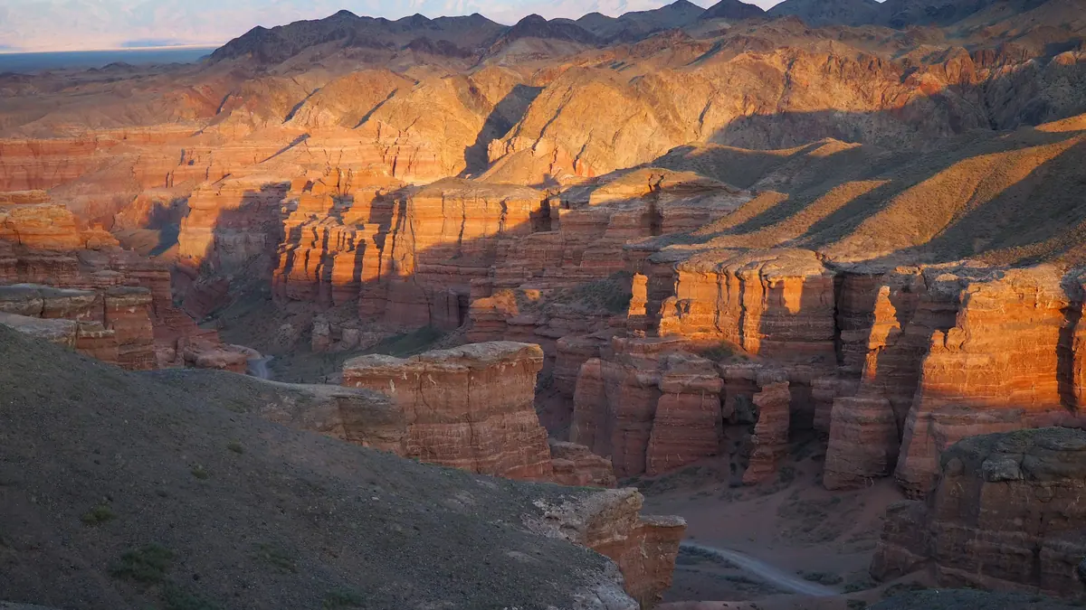
Real photos by travellers (Pexels, Unsplash, Wikimedia Commons); author and licence are given in each caption.
Charyn is one of the most photographed places in Kazakhstan and one of the most poorly photographed. The reason is simple and nearly always the same: people arrive at midday. The short answer for a shoot: work the first and last hour of daylight, from the rim at the top of the descent and on the floor of the Valley of Castles; October is the strongest month; amateur photography is free, professional filming has its own tariff in MCI, and drones fall under Kazakhstan’s general aviation rules.
Light
The rock here is red-orange, and all of that colour depends on low sun.
The first and last hour of daylight deliver both things you need: the warm tone that is genuinely in the rock, and long shadows that reveal relief. Without shadows a canyon wall flattens into a single patch.
Midday is the worst window. Sun overhead, shadows short, colour washed out. That is what most Charyn photographs online look like, and it is why the place looks worse on the internet than in person.
Which leads to an inconvenient conclusion: a day trip from Almaty is almost guaranteed to land in bad light. The drive is 3.5–4 hours each way, and a typical tour puts you in the canyon between eleven and three.
If the photograph is the point of the trip, staying overnight on site solves it entirely. You wake up inside the Valley of Castles. Where and on what terms you can stay is covered in camping and overnight stays at Charyn.
Sunrise and sunset by month
Almaty monthly averages. The canyon lies east of the city, so the sun rises and sets a few minutes earlier there.
| Month | Sunrise | Sunset | Daylight |
|---|---|---|---|
| April | 5:12 | 18:35 | 13 h 23 min |
| May | 4:30 | 19:09 | 14 h 39 min |
| June | 4:13 | 19:35 | 15 h 22 min |
| September | 5:32 | 18:05 | 12 h 33 min |
| October | 6:06 | 17:12 | 11 h 06 min |
| December | 7:18 | 16:18 | 9 h 00 min |
Source: solarwatch.app. Rule of thumb: for sunset be in position an hour and a half to two hours ahead; for sunrise, half an hour before. The last light leaves the floor of the tract earlier than the rim, because walls hundreds of metres high cut off a low sun.
The best viewpoints
The rim at the top of the descent. From here you see the pillars from above and the corridor of the tract running east. English Wikipedia notes a path of about a kilometre from the car park to spots with better views of the canyon. It is the safest place for wide shots — provided you stand on the path, not on the edge.
The descent. The point where a figure first appears against the walls and the scale suddenly becomes legible.
The floor of the Valley of Castles. A corridor between walls. The trail runs west to east, so in the morning and evening the sun shines along the axis of the tract: the ends of the pillars catch direct warm light, while the long walls get raking light that picks out the bedding. More on the tract itself in Valley of Castles.
The river. Where the tract opens onto the main canyon, water and trees enter the frame — Kazakh Tourism mentions turanga poplars along the Charyn River. It is the only point on the route where red rock has something to contrast with in summer.
The Sarytogay ash grove. About 20 km from the canyon, according to Wikipedia. Autumn foliage on the Sogdian ash is a completely different frame from the red walls. See the Sarytogay ash grove.
Season
October is the strongest month. The willow grove on the canyon floor turns yellow, giving a contrast against red rock that exists in no other season. The air is clearer after summer.
April–May brings a green floor, soft light and maximum water in the river.
Winter yields rare frames: snow on red rock appears in only a handful of photographs, because almost nobody comes then. Road and daylight caveats are in Charyn in winter.
Gear
Wide angle is not always your friend. The canyon recedes at wide focal lengths — walls pull away and scale is lost. A normal lens often conveys depth more honestly.
A person in frame gives scale. Without a figure, there is no telling whether the wall is ten metres or a hundred.
Dust. An unpaved road and a dry canyon floor mean fine particles in the air. Changing lenses down in the canyon is a bad idea.
Power. Summer heat drains batteries faster than usual, and winter more so. The descent, the shooting and the climb back take hours, and there are no power sockets on the route.
Portrait sessions. Light or pale clothing reads better against the red rock than red and orange, which merge with it. Bring separate shoes for the descent: the path is loose.
Rules
Amateur photography on the territory is unrestricted. Commercial shoots on protected territory are regulated separately — a matter for the park administration rather than for us.
The general rules apply: do not leave marked trails for a shot. A crumbling slope is not scenery, it is a crumbling slope.
Filming does, however, appear as a separate line in the park’s tariffs. Appendix 14 to Order No. 232 of the Minister of Ecology and Natural Resources of 2 October 2024 sets a daily charge for “conducting film, video and photo shoots while visiting and studying objects of the nature reserve fund”:
| Type | Tariff, per day |
|---|---|
| Photo | 6.8 MCI |
| Film, video | 15.3 MCI |
For comparison, an ordinary visitor pays 0.2 MCI per day, so the photo line is 34 times higher. The national park fee calculator converts MCI into local currency for the current year. These are substantial sums, which is exactly why it matters what they apply to.
Drones at Charyn Canyon: the position as of October 2026
Drone filming over protected natural areas is restricted. Kazakhstan’s law on protected natural areas defines them as land, water and the airspace above them, so the sky over the park is formally part of the protected territory. The edition of Charyn park’s visiting rules available to us (2019) does not mention drones at all.
The general requirements come from the Rules for the Use of Unmanned Aircraft Systems in the Airspace of Kazakhstan, approved by Order No. 706 of 31 December 2020, as amended on 9 January 2024:
| Requirement | What the rules say |
|---|---|
| Open category, no specific approval | take-off mass up to 1.5 kg; 1.5–25 kg with a category 1 operator certificate |
| Time and visibility | daylight only, within visual line of sight |
| Height | no higher than 200 m in uncontrolled airspace, 50 m in controlled airspace |
| Where you need permission | over densely populated areas; in prohibited, dangerous and flight-restriction zones |
| Aerodromes | route more than 8 km from the aerodrome reference point |
According to the Aviation Administration’s explanation published by Kursiv on 2 May 2025, drones of 0.25 kg and above must be registered, as must any device capable of collecting personal data; take-off and landing must be at least 50 m from people, vehicles and buildings, and at least 100 m in flight. The same source lists fines of 10 MCI for individuals and 20 MCI for legal entities, with possible confiscation. Filming in border zones must be coordinated with the border service and air defence forces.
Frequently asked questions
When is the best light in Charyn Canyon?
Do I need a permit to photograph?
Where are the best photo spots in Charyn Canyon?
Is there a fee for a photo shoot in Charyn Canyon?
Can I fly a drone at Charyn Canyon?
What is the best month to photograph Charyn?
What time should I arrive for sunset at Charyn?
Sources
- Order of the Minister of Ecology and Natural Resources No. 232 of 2 October 2024, appendix 14 — filming charges
- Rules for the Use of Unmanned Aircraft Systems in the Airspace of Kazakhstan, Order No. 706 of 31 December 2020 (as amended 9 January 2024)
- Text of Rules No. 706 as amended on 9 January 2024 (zakon.uchet.kz)
- Kursiv: the Aviation Administration on filming tourist sites by drone, 2 May 2025
- Law of Kazakhstan on Specially Protected Natural Areas — protected areas include the airspace above them
- Almaty sunrise and sunset by month (solarwatch.app)
- Charyn Canyon — Wikipedia (1 km path to viewpoints, grove about 20 km away)
- Kazakh Tourism: Charyn Canyon — dawn and sunset, turanga poplars along the river