Verified: 2026-08
Getting to Charyn Canyon from Almaty in photos
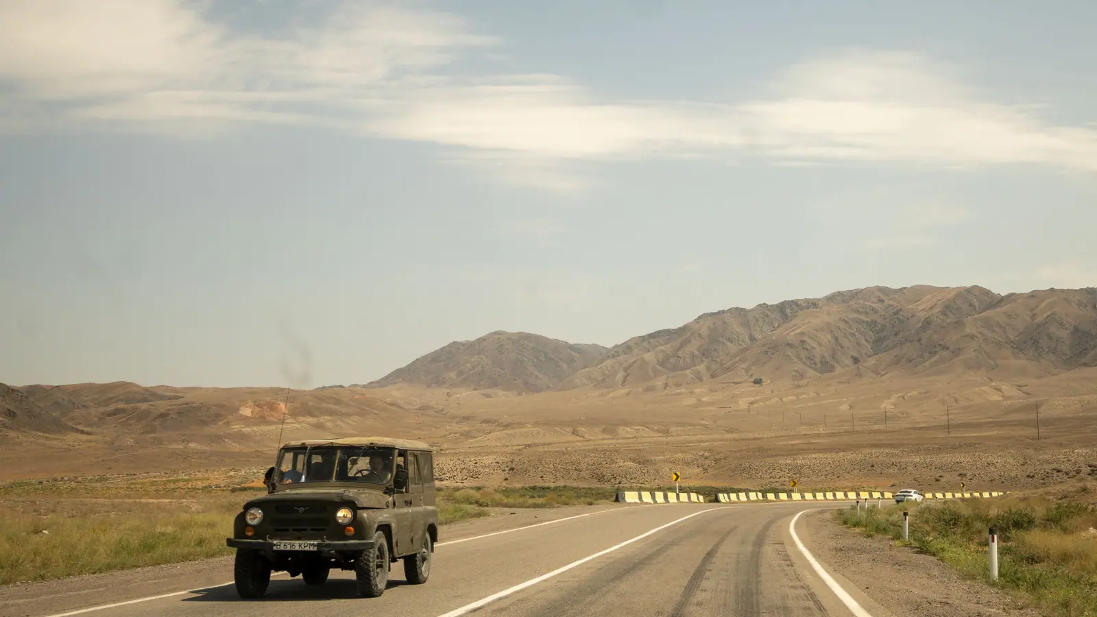
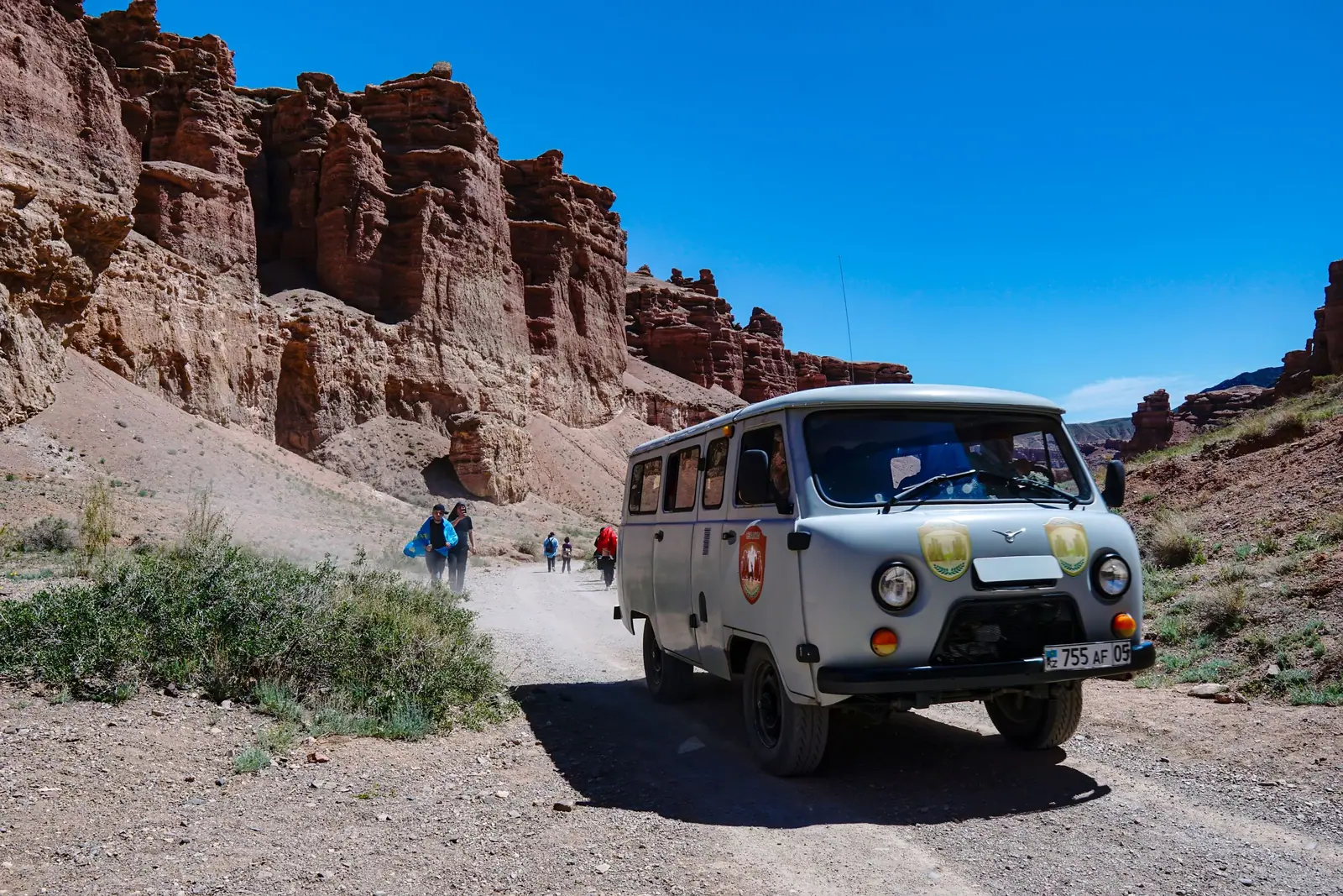
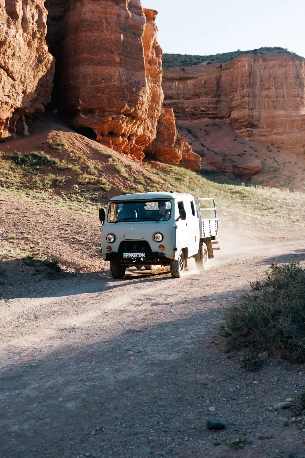
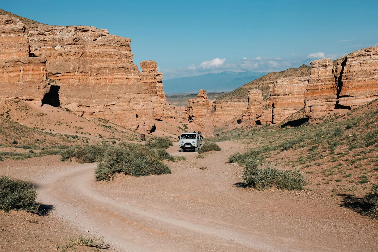
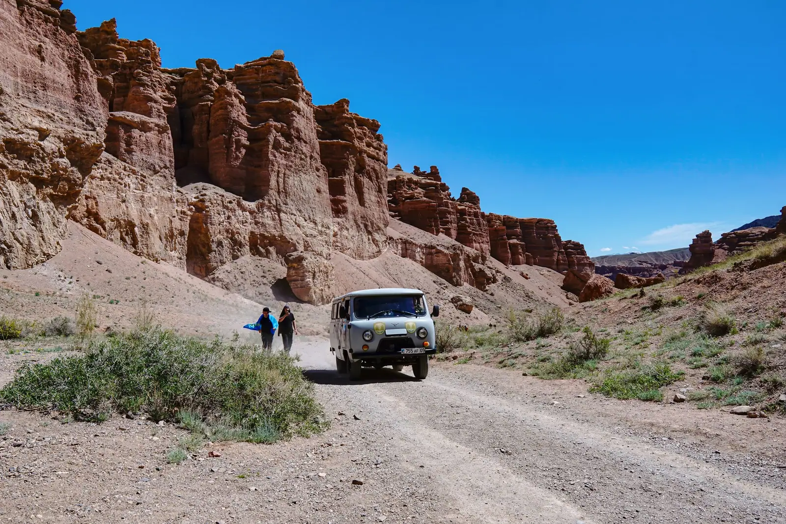
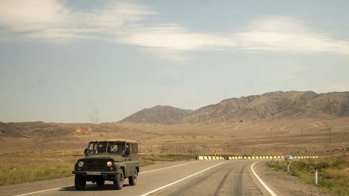
Real photos by travellers (Pexels, Unsplash, Wikimedia Commons); author and licence are given in each caption.
Short version: from Almaty head east on the Almaty — Narynkol road for roughly 195 km, take the signposted turn for Charyn Canyon, continue 16 km, then leave the asphalt for about 10 km of unpaved track to the checkpoint.
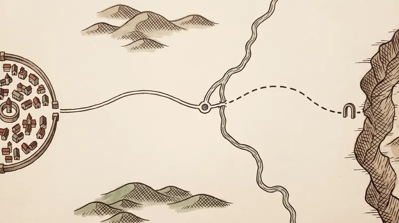
The route step by step
| Leg | Distance | What matters |
|---|---|---|
| Almaty → the fork | — | heading east |
| Chundzha / Narynkol fork | — | keep towards Narynkol |
| Fork → turn for the canyon | — | look for the Charyn Canyon sign |
| Turn → end of asphalt | 16 km | paved |
| End of asphalt → checkpoint | 10 km | unpaved track |
| Almaty → canyon, total | ~195 km |
The point where people go wrong is the Chundzha / Narynkol fork. Both directions head towards the canyon on a map, but the signposted turn is on the Narynkol road.
The last 10 kilometres
This is the one stretch worth planning for separately. Asphalt ends after the turn.
The general rule for steppe tracks: dry, they are passable in any car; after heavy rain it becomes a question of ground clearance and luck.
What you see on the way
In spring the steppe along the road is in flower, and for many people that is part of the trip.
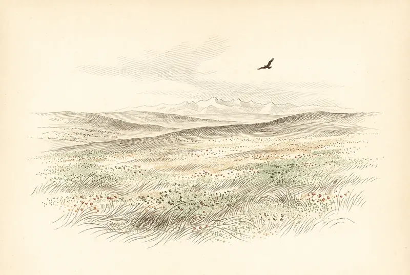
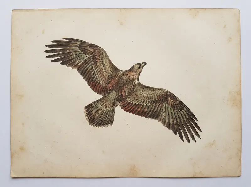
Park materials note steppe eagles, golden eagles, goitered gazelles (a Red Book species in Kazakhstan), foxes and hares along the route. Nothing is guaranteed, but early morning gives a genuine chance.
Without your own car
Possible, but it takes planning: scheduled transport to the nearest settlements, then a lift, local taxi or a pre-arranged transfer. The nearest settlement with infrastructure is Shonzhy, 7 km from the park boundary.
Organised trips
Day tours from Almaty work well if you are alone or without a car; they usually include transfer, a guide and food.
An honest comparison: two people with a car are better off driving themselves. We ran the numbers on the prices page. With one passenger the gap narrows; with four in one car, driving yourself wins comfortably again.
We do not sell tours and earn nothing from that conclusion.
What to bring
- cash — payment is at the checkpoint, and it is sensible on the steppe anyway
- more water than you think, especially in summer
- proof of eligibility if you qualify for a discount
- a charged phone and offline maps: we have not verified network coverage on site
Frequently asked questions
How far is Charyn Canyon from Almaty?
Which road do I take?
Is there unpaved road?
Sources
- Materials of the Charyn National Park administration describing the access route